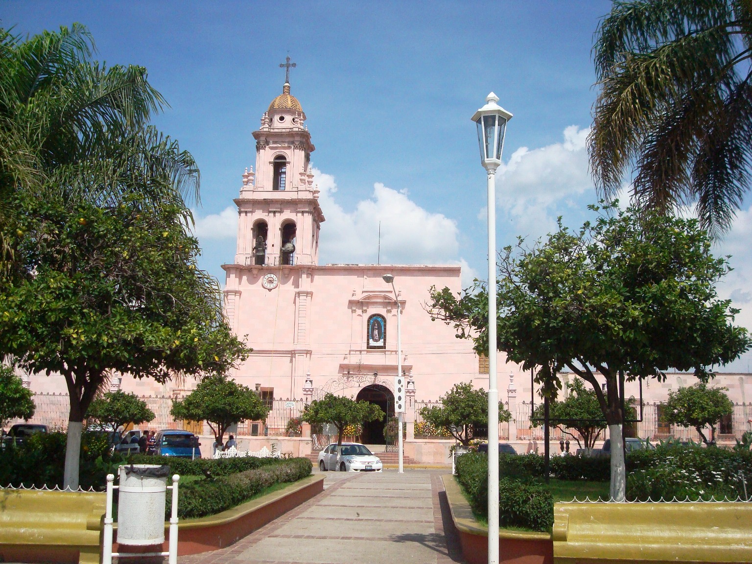
Cocula is a farm town about an hour southwest of Guadalajara, and it calls itself the cradle of mariachi. Arches decorated with guitars and violins welcome you at the entrance, and the music is everywhere, from the plaza to the song that Jorge Negrete made famous. Around it stretch fields of sugar cane, agave and maize. Visitors come to hear mariachi where it began, walk the center and eat well in an unpretentious Jalisco town.
History
The town's old name was Cocollán, usually translated as "place of undulations". Around the 12th century, families of the Coca people who had been forced out of the kingdom of Tonalá founded a first Cocollán under a leader named Huehuetztlatzin. That settlement was destroyed at the start of the 16th century, and the survivors ended up on a nearby mountaintop. By 1520 Cocollán was an independent town under a chief called Citlali, with several tributary villages.
In 1521 Spanish forces under Alonso de Ávalos took the town and folded it into what became known as the Province of Ávalos. A few years later, probably in 1532, Franciscan friars persuaded the inhabitants to come down to the valley where Cocula stands today. Remains of the hilltop town, known as Cocula Vieja, can still be seen.
Cocula was declared a city in 1833. During the 19th century the local style of string music grew into what the world now knows as mariachi, and many well-known groups have come from the town and its surroundings. The economy is still based on farming, with sugar cane as a leading crop. Cocula was named a Pueblo Mágico in 2023.
Climate mild
Best months to visit: Jan, Feb, Nov, Dec (driest months with comfortable afternoons)
Average daily high and low (°C) and monthly rainfall, 2020–2024.
Plan your trip
Places to stay in Cocula
Compare hotels, posadas, and rentals in and around Cocula.
Links open a partner site. We may earn a commission if you book, at no cost to you.
Photos
Where it is
Cocula within Mexico
The town up close · Open in Google Maps
Getting there
- Fly into GDL: Guadalajara International Airport, about 56 km away in a straight line
Drive times are estimates from OpenStreetMap routing, without traffic.
Nearby Pueblos Mágicos

48 km away

58 km away

58 km away

59 km away
Sources: population from Wikidata (may count the whole municipality) · elevation and climate from Open-Meteo · airports from OurAirports (straight-line distance).