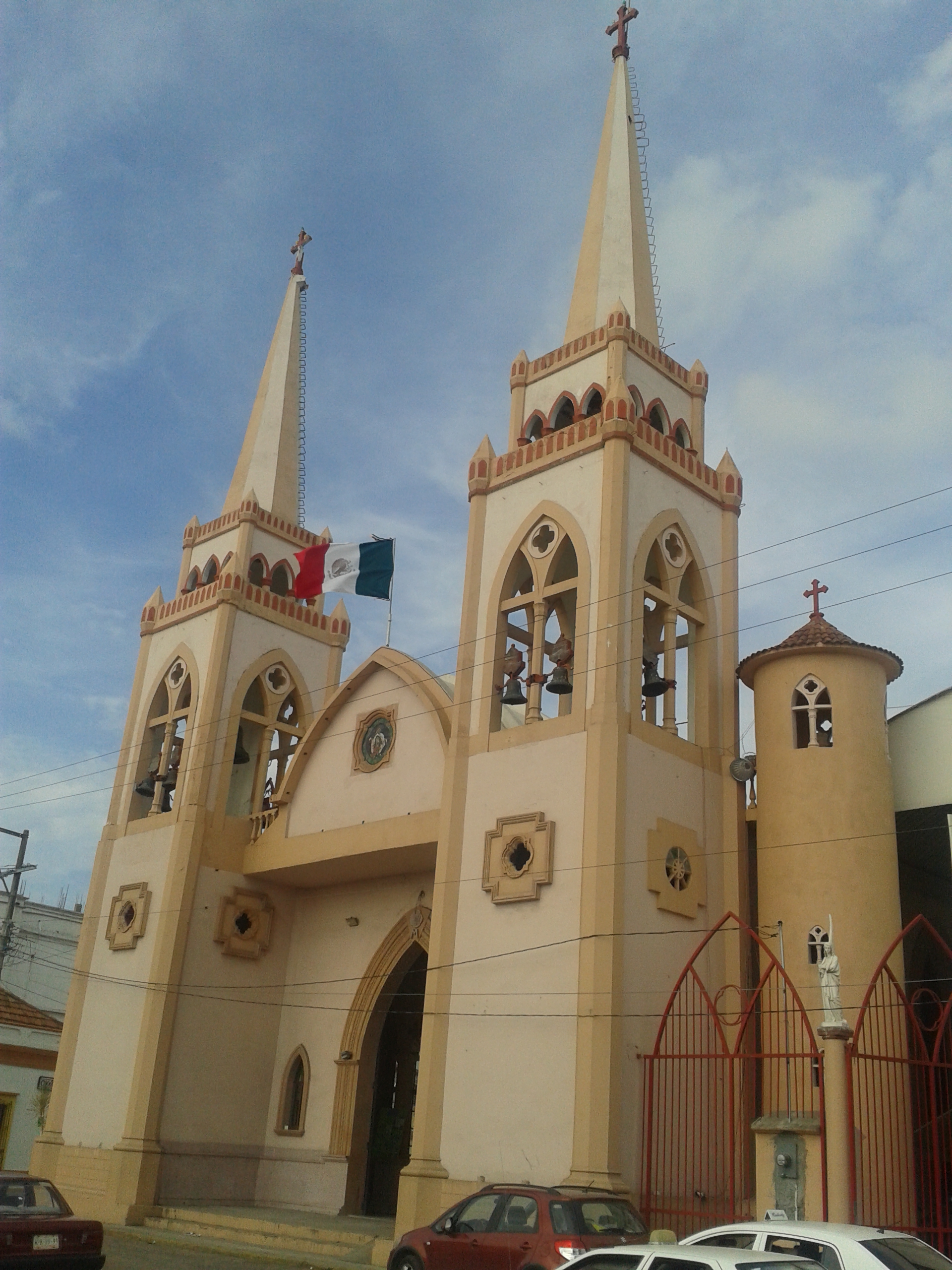
Frontera is a river port in Tabasco, 78 kilometers northeast of Villahermosa, close to where the Grijalva River meets the Gulf of Mexico. It is the state's main fishing center, known for shrimp, snook and mojarra, and the long Frontera bridge carries the coastal highway toward Ciudad del Carmen across the river. People come for the seafood, the river and coastal scenery, and the history of the first encounters between the Maya Chontal and the Spanish.
History
People have lived in this coastal plain since about 400 BC. Around AD 650 Chontal Maya groups flourished here, building plazas, platforms and houses of packed earth on the long sandy ridges that stay above water for most of the year. Their main town was Potonchán, which stood across from today's port.
On June 8, 1518, Juan de Grijalva reached the river mouth, and the river was given his name. According to Bernal Díaz del Castillo, he met the local ruler, Tabscoob, at Potonchán and the two exchanged gifts. Hernán Cortés arrived on March 22, 1519. This time the meeting turned to fighting, the Spanish took the town, and the clashes led to the Battle of Centla a few days later.
The present town was founded in 1815 by the priest Tomás Helguera as San Fernando de la Frontera, and soon renamed San Fernando de la Victoria in memory of the vanished colonial town of Santa María de la Victoria. In 1826 it became the town and port of Guadalupe de la Frontera, honoring President Guadalupe Victoria. From 1928 it was called Álvaro Obregón, and the name Frontera was restored in 1947. It was named a Pueblo Mágico in 2023.
Plan your trip
Tours & activities
Guided tours, tastings, and day trips in and around Frontera.
Links open a partner site. We may earn a commission if you book, at no cost to you. Hotel names from OpenStreetMap.
Photos
Where it is
Frontera within Mexico
The town up close · Open in Google Maps
Getting there
- Fly into VSA: Carlos Rovirosa Pérez International Airport, about 62 km away in a straight line
Drive times are estimates from OpenStreetMap routing, without traffic.
Nearby Pueblos Mágicos

67 km away

114 km away

120 km away

125 km away
Sources: population from Wikidata (may count the whole municipality) · elevation and climate from Open-Meteo · airports from OurAirports (straight-line distance).