

9 parks and reserves · within 60 km
There are 9 parks and reserves within 60 km of Valle de Bravo in a straight line, an hour or a little more by road. The closest is Santuario Piedra Herrada, 18 km away; the farthest, Santuario Sierra Chincua, is 56 km. They are listed under the Pueblos Mágicos of Angangueo, Valle de Bravo, and El Oro, which make good bases.
Parks and reserves are best on weekdays and early in the day. Bring water, and check the opening hours, since some close one day a week.
Best months, when most of these towns are dry with comfortable afternoons: Jan, Feb, Mar, Apr.
The Nature Parks 9
-
Santuario Piedra Herrada · Nature reserve · 18 km from Valle de Bravo
The monarch butterfly sanctuary closest to Valle de Bravo, on the road to Toluca, open roughly November to March. -
Parque Nacional Bosencheve · Nature reserve · 25 km from Valle de Bravo
A national park of pine and fir forest on the Toluca–Morelia highway, with a lagoon, camping and quiet trails north of Valle de Bravo. -
Santuario Cerro Pelón · Nature reserve · 26 km from Valle de Bravo · Near Angangueo
The wildest monarch sanctuary, reached on horseback from the village of Macheros; where the colonies were first documented in 1975. -
Santuario El Capulín · Nature reserve · 26 km from Valle de Bravo
A quieter monarch butterfly sanctuary in Donato Guerra, reached by a forest trail of about 4 km on foot or horseback. -
Santuario de la Mariposa Monarca La Mesa · Nature reserve · 44 km from Valle de Bravo · Near El Oro
A monarch butterfly sanctuary in the forests of San José del Rincón, open in winter, with cabins, guides and horseback rides. -
Santuario El Rosario · Nature reserve · 46 km from Valle de Bravo · Near Angangueo
The largest and busiest monarch butterfly sanctuary, a steep forest climb above Angangueo, open roughly November to March. -
Parque Estatal Sierra Morelos · Nature reserve · 47 km from Valle de Bravo · Estado de México
1,255 hectares of wooded hills and lakes on Toluca's northern edge: trails of up to 9 km, picnic shelters and an axolotl house under repair. -
Sierra de Nanchititla · Nature reserve · 49 km from Valle de Bravo · Estado de México
A protected Tierra Caliente range in Luvianos, near Guerrero and Michoacán: a waterfall of about 105 m, rock towers, canyons, cabins and paragliding. -
Santuario Sierra Chincua · Nature reserve · 56 km from Valle de Bravo · Near Angangueo
A quieter monarch sanctuary north of Angangueo, with a gentler trail, horses, and a visitor center with food stalls and a zip line.


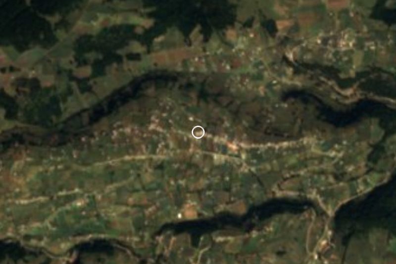


On the map
Distances are in a straight line; roads add about a third.
Where to stay
The Pueblos Mágicos these places are closest to, each with hotels, food and getting-there notes.


More places like these
More around Valle de Bravo
Nature Parks elsewhere
Names and locations from OpenStreetMap; notes and write-ups are our own.