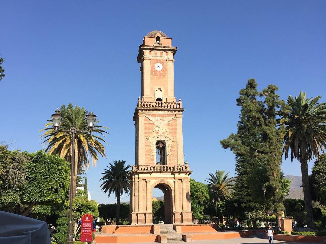
Tecozautla is a small town in the Mezquital Valley of Hidalgo, known for its hot springs and for the fruit grown around it. The center has the church and former convent of Santiago Apóstol, built in the 1690s, and a neoclassical clock tower inaugurated in 1910. Every July 25 the patron saint's day becomes the Feria de la Fruta, with crafts, rides, rodeos and displays of local fruit. Expect barbacoa, mole with turkey and, in season, escamoles and maguey worms.
History
The name comes from Nahuatl words for stone, yellow and place, and is read as 'place where yellow earth abounds'. Local tradition holds that migrants settled here after the Toltec state broke apart and, fearing attack, built a defensive wall five to six meters high and several kilometers long. The wall is said to have protected them when Chichimec groups attacked.
In the 16th century the Franciscan friar Juan de Sanabria arrived to evangelize and founded the first convent. One of the first Spaniards to take control of land here was Nicolás Montaño, cacique of Jilotepec. The friars are credited with reconciling the townspeople with the Chichimecas who lived on the south side, and the wall that had separated them was torn down as a sign of that peace.
The church and convent of Santiago Apóstol went up between 1690 and 1700. Under Porfirio Díaz the town built its monumental clock: the first stone was laid on September 15, 1904, and it was inaugurated on September 15, 1910, the same day as the one in Pachuca. Tecozautla was named a Pueblo Mágico on September 26, 2015.
Climate mild
Best months to visit: Jan, Feb, Mar, Dec (driest months with comfortable afternoons)
Average daily high and low (°C) and monthly rainfall, 2020–2024.
Plan your trip
Tours & activities
Guided tours, tastings, and day trips in and around Tecozautla.
Links open a partner site. We may earn a commission if you book, at no cost to you. Hotel names from OpenStreetMap.
Where it is
Tecozautla within Mexico
The town up close · Open in Google Maps
Getting there
- Fly into QRO: Querétaro Intercontinental Airport, about 58 km away in a straight line
Drive times are estimates from OpenStreetMap routing, without traffic.
Nearby Pueblos Mágicos

18 km away

26 km away

27 km away

35 km away
Sources: population from Wikidata (may count the whole municipality) · elevation and climate from Open-Meteo · airports from OurAirports (straight-line distance).