
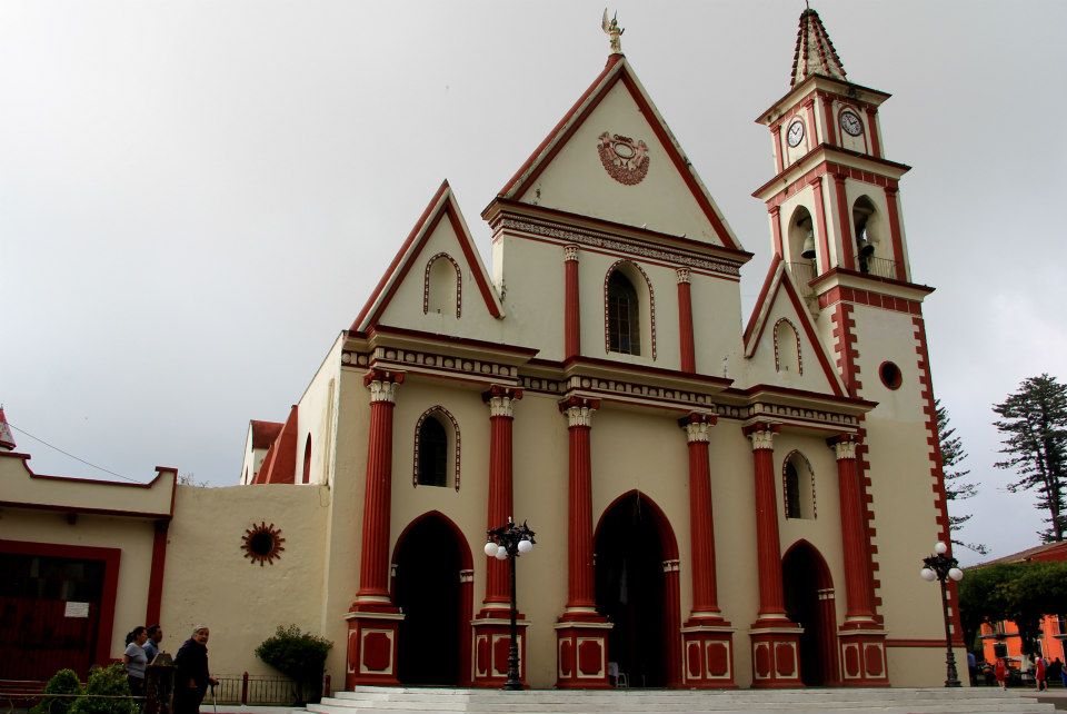
Xico sits on the lower slopes of the Cofre de Perote, 25 km from Xalapa, in a humid landscape of mountains and coffee farms. Its cobblestone streets lead to the parish of Santa María Magdalena, where thousands of dresses given to the patron saint are kept. Visitors walk to the Texolo and La Monja waterfalls, eat sweet mole xiqueño and xonequi bean soup, and sip morita and verde liqueurs. In July the town fills with sawdust carpets, a flower arch, dancers, and fireworks.
History
The name comes from Nahuatl, Xicochimalco, usually explained as nest of bumblebees or place of yellow wax honeycombs. The oldest archaeological traces in the area belong to a Totonac settlement. In 1454 a large number of Mexica arrived, driven by a famine that followed droughts and floods, and remains of their presence survive on the hill of Yoctipac.
Hernán Cortés passed through on his march inland and described the place in his second letter to the king: a strong town set on the side of a very steep range, reached by a single stairway-like pass, with many farming villages on the flat land below, all subject to Moctezuma.
The old settlement lost importance after the Spanish arrived, mainly because of the epidemics that struck the indigenous population. The parish of Santa María Magdalena dates from the 16th century. By the 18th century the town was still overwhelmingly indigenous, with only a handful of Spanish families. The mestizo population grew through the 19th and especially the 20th century, when Spanish gradually displaced Nahuatl. Coffee became the main crop of the lower, warmer lands around the town. Xico has been a Pueblo Mágico since 2011.
Plan your trip
Places to stay in Xico
Las Magdalenas Hotel Boutique Hotel · ★★★ · 790 m from the center Find on Booking.com Hotel Coyopolan Hotel · ★★★ · 1.1 km from the center Find on Booking.com Posada La Querencia Hotel · ★★★ · 1.1 km from the center Find on Booking.com Finca Vacacional Santa Rosa Hotel · ★★★ · 2.1 km from the center Find on Booking.com Spa Shalam Hotel · ★★★ · 4.8 km from the center Find on Booking.com Estación Santa Cruz Hotel · 240 m from the center Find on Booking.comLinks open a partner site. We may earn a commission if you book, at no cost to you. Hotel names from OpenStreetMap.
Photos
Where it is
Xico within Mexico
The town up close · Open in Google Maps
Getting there
- Fly into VER: General Heriberto Jara International Airport, about 91 km away in a straight line
Drive times are estimates from OpenStreetMap routing, without traffic.
Nearby Pueblos Mágicos

6 km away
30 km away

39 km away

59 km away
Sources: population from Wikidata (may count the whole municipality) · elevation and climate from Open-Meteo · airports from OurAirports (straight-line distance).