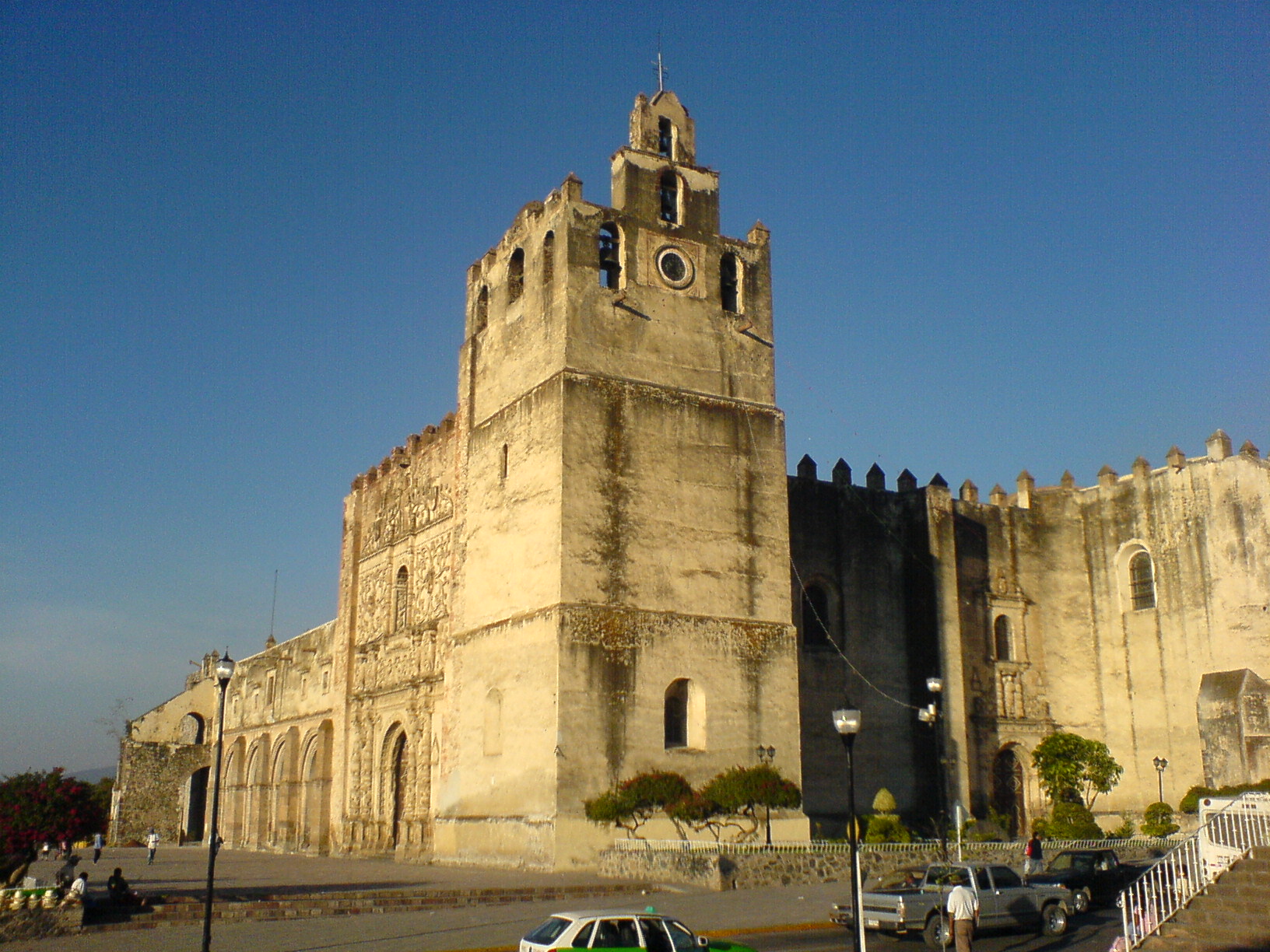
Yuriria is a town in southern Guanajuato on the shore of the lake that shares its name. Its landmark is a massive 16th-century Augustinian monastery that looks more like a castle than a church, with thick walls and battlements built to shelter the townspeople during raids. Visitors come to walk through the monastery and its cloister, stroll the quiet center, and look out over the lake.
History
The name Yuriria comes from the Purépecha Yuririapúndaro, usually translated as lake of blood.
The town was founded as a Spanish settlement during the colonial period, in what was then frontier country. Its settlers were exposed to attacks by nomadic tribes from the north, so the Augustinian monastery at the heart of town was built as a fortress. It protected the town and its people and served as their refuge when raids came, which explains the building's heavy walls and military look.
Yuriria grew beside its lake and around that monastery, which remains the reason most travelers visit. The town was added to the Pueblos Mágicos program in 2012.
Climate mild
Best months to visit: Jan, Mar, Apr, Dec (driest months with comfortable afternoons)
Average daily high and low (°C) and monthly rainfall, 2020–2024.
Plan your trip
Places to stay in Yuriria
Hotel Real Azteca Hotel · 6.8 km from the center Find on Booking.com Hotel Excelencia de America Hotel · 10.9 km from the center Find on Booking.com Hotel Excelencia de America Hotel · 10.9 km from the center Find on Booking.com Hotel La Parroquia Hotel · 11.3 km from the center Find on Booking.comLinks open a partner site. We may earn a commission if you book, at no cost to you. Hotel names from OpenStreetMap.
Photos
Where it is
Yuriria within Mexico
The town up close · Open in Google Maps
Getting there
- Fly into MLM: General Francisco J. Mujica International Airport, about 42 km away in a straight line
Drive times are estimates from OpenStreetMap routing, without traffic.
Nearby Pueblos Mágicos

26 km away

27 km away

69 km away

80 km away
Sources: population from Wikidata (may count the whole municipality) · elevation and climate from Open-Meteo · airports from OurAirports (straight-line distance).