Lake Aldama, Chihuahua
Luis L. León Dam, a 1968 reservoir on the Río Conchos in Aldama; bass, catfish and carp fishing among bare desert hills, reached by dirt road.
From Chihuahua: about 1 h 35 min by road (~105 km) How to get there ↓
Plan your visit to El Granero
Where to stay near El Granero
Compare hotels, posadas and guest houses in El Granero.
Tours to El Granero
Day trips and guided outings from Chihuahua often include El Granero; with a local guide you can get there without a car.
How to get to El Granero
- From Chihuahua: about 1 h 35 min by road (~105 km)
Links open a partner site. We may earn a commission if you book, at no cost to you.
About El Granero
El Granero is what everyone calls the Luis L. León Dam, the reservoir that holds back the Río Conchos in Aldama municipality, northeast of Chihuahua City. It is the second-to-last dam on the Conchos before the river cuts through the Peguis canyon and meets the Rio Grande at Ojinaga. The embankment rises 62 meters and went into service in 1968.
It was built to tame the floods that rolled down to the Rio Grande and swamped the lower Conchos, and to water the farmland between the reservoir and the confluence. Of its total capacity of 850 million cubic meters on the 1997 record, 500 are set aside for flood control, 260 for irrigation and 90 for silt. Downstream, along 130 km of river to the El Peguis dam, the Marqués, Pastor, Coyame and Paradero creeks flow in. The dam is named for Luis L. León (1890-1981), an engineer from Ciudad Juárez who served as agriculture secretary under President Plutarco Elías Calles and briefly as governor of Chihuahua in 1929.
Its level swings with drought and with water deliveries owed to the United States under the 1944 treaty. In January 2020 rumors spread that it had been drained; the water agency inspected it and put it at 73.3 percent. In 2022 local ranchers struggled to find enough water for their cattle.
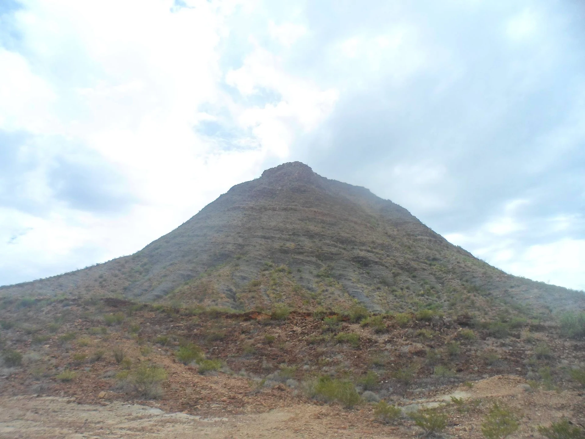
For visitors, El Granero is above all a fishing lake: largemouth bass, the species tournaments target, plus catfish, carp and rainbow trout. The hills around it show tilted beds of Late Jurassic shale from the La Casita Formation, where ammonites turn up around Aldama. There is no village or service on the shore; it is open desert, so bring food and water.
How to get to El Granero
From Chihuahua City take Federal Highway 16 toward Aldama and Ojinaga (a free four-lane road as far as Aldama, about 30 km), skirt Aldama on the bypass and continue about 23 km toward Ojinaga. There a dirt road branches right down to the reservoir: the western tail of the lake, where most anglers fish, is about 70 km and 1 h 30 min from Chihuahua.
This spot, on the reservoir's eastern arm, is 127 km and about 3 h 40 min from Chihuahua: some 60 km of that is dirt track across the desert, which takes nearly two and a half hours. A high-clearance vehicle helps, and avoid it after rain.
There is no public transport to the dam. Buses from Chihuahua to Ojinaga use Highway 16, but nothing runs from the turn-off to the shore: you need your own vehicle.
Directions to El Granero on Google Maps
Distances are in a straight line; the road is usually longer.
Links open a partner site. We may earn a commission if you book, at no cost to you.
From the nearest cities to El Granero
- Chihuahua · about 105 km by road, ~1 h 35 min
- Delicias · about 110 km by road, ~1 h 35 min
- Cuauhtémoc · about 210 km by road, ~3 h 5 min
Drive times by road from OpenStreetMap, without traffic or stops. Times marked ~ are estimated from the straight-line distance.
Before you go to El Granero: hours, prices and tips
- What to bring
- Food and water for the whole day: the area is arid and there are no services on the shore. Donde Pescar · checked Oct 2026
- Rules
- Rod fishing requires a CONAPESCA sport-fishing permit; also check current bass closed seasons. Donde Pescar · checked Oct 2026
Hours and prices change, especially around holidays. Each fact links to where we checked it.
Visiting El Granero: what to see and do
The 62-meter earth-and-rock dam, finished in 1968
Bass fishing from the shore or by boat
Dry scrub left half-drowned along the shore when the lake rises
Hills of tilted La Casita Formation strata, with Jurassic ammonites
The Río Conchos below the dam
Plan your trip
Places to stay in El Granero
Compare hotels, posadas, and rentals in and around El Granero.
Tours & activities
Day trips and guided outings from Chihuahua often include El Granero; with a local guide you can get there without a car.
Travel insurance
If you plan on swimming or kayaking at El Granero, check that your policy covers it: some plans leave adventure activities out.
Mobile data
Signal can drop away from Chihuahua: download a map of the way to El Granero before you set out, or carry an eSIM with data.
Links open a partner site. We may earn a commission if you book, at no cost to you.
Near El Granero
-
Delicias · City
~1 h 35 min drive · 83 km


Drive times by road from OpenStreetMap, without traffic. Times marked ~ are estimated from the straight-line distance.
Lists with El Granero
Lakes and Lagoons in Chihuahua · 4Location from OpenStreetMap. Written by Puebloteca.