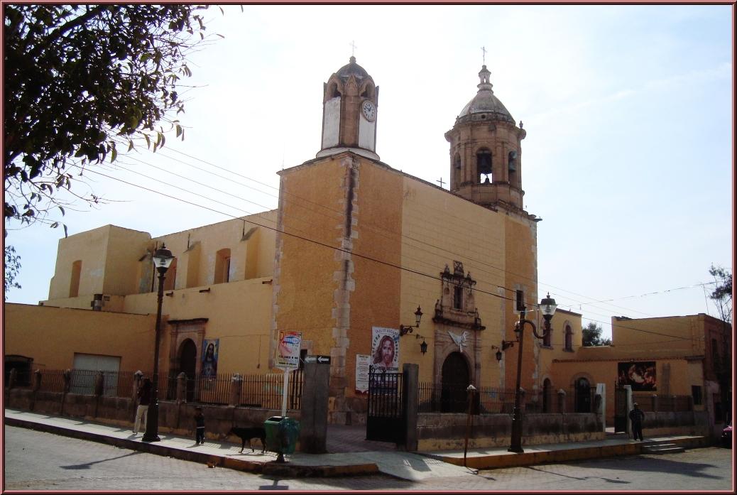
Nombre de Dios is a small town southeast of the city of Durango and the seat of the municipality of the same name. Founded in the sixteenth century, it is regarded as the oldest town in northern Mexico. It makes an easy trip from the state capital for travelers curious about where Spanish settlement of the north began.
History
Nombre de Dios was founded in November 1562 by Francisco de Ibarra, the Spanish explorer who opened up much of this region. On the strength of that date it is regarded as the oldest town in northern Mexico.
Today it is the seat of its municipality, which borders the municipality of Durango to the north and west. It was named a Pueblo Mágico on October 11, 2018.
Climate mild
Best months to visit: Jan, Mar, Apr, Dec (driest months with comfortable afternoons)
Average daily high and low (°C) and monthly rainfall, 2020–2024.
Plan your trip
Places to stay in Nombre de Dios
Compare hotels, posadas, and rentals in and around Nombre de Dios.
Tours & activities
Guided tours, tastings, and day trips in and around Nombre de Dios.
Links open a partner site. We may earn a commission if you book, at no cost to you.
Photos
Where it is
Nombre de Dios within Mexico
The town up close · Open in Google Maps
Getting there
- Fly into DGO: General Guadalupe Victoria International Airport, about 42 km away in a straight line
Drive times are estimates from OpenStreetMap routing, without traffic.
Nearby Pueblos Mágicos

67 km away

184 km away

190 km away

215 km away
Sources: population from Wikidata (may count the whole municipality) · elevation and climate from Open-Meteo · airports from OurAirports (straight-line distance).