
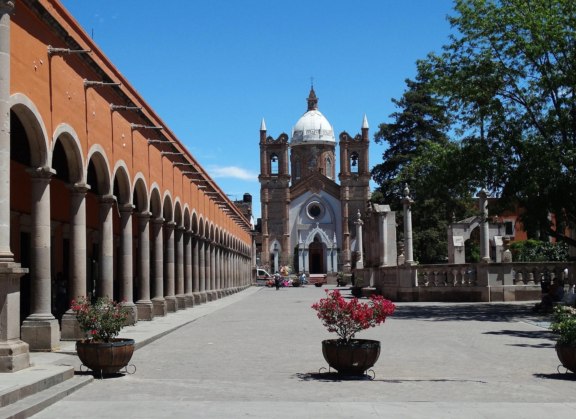
A region of Zacatecas
The deep, warm canyons of the Juchipila and Tlaltenango rivers in southern Zacatecas, with mezcal, guava orchards and old towns such as Jalpa, Juchipila, Apozol and Teúl.
2 Pueblos Mágicos
Pueblos Mágicos in Southern Zacatecas canyons


Map
Top tours in Southern Zacatecas canyons

Teúl de González Ortega
Full Day Tour to Tequila and Amatitán with Fun and Culture
From US$44

Teúl de González Ortega
Luxury Tequila Experience: VIP Tastings & Boutique Distilleries
From US$149

Teúl de González Ortega
Tour to Lake Chapala, MAGIC TOWN of Ajijic from Guadalajara
From US$44

Teúl de González Ortega
Full Day in Tequila with Tasting and party in Cantaritos
From US$72

Teúl de González Ortega
The Fire TOUR - Pyramids, Volcanoes, Agaves & Tequila
From US$96
Tours, prices and ratings from Viator, checked weekly. We may earn a commission if you book.
Getting around Southern Zacatecas canyons
Fly into Aguascalientes (AGU) and Guadalajara (GDL).
Most of the region is reached by road: a rental car is the easiest way to see several places in a day, and buses link the larger towns.
When to visit Southern Zacatecas canyons
Most of Southern Zacatecas canyons is at its best in January, March, April, and November.
Month-by-month climate on each Pueblo Mágico's page: Nochistlán, Teúl de González Ortega