A region of Guanajuato Querétaro
The towns where Mexico's 1810 independence war began: Dolores Hidalgo, San Miguel de Allende, Atotonilco, Guanajuato and Querétaro, all within a couple of hours of each other.
1 Pueblo Mágico · 3 places to visit
Pueblos Mágicos in Independence Route

Map
Places to visit in Independence Route 3
3 places with their own page, grouped by kind.
Cities
-
Guanajuato · City · Guanajuato
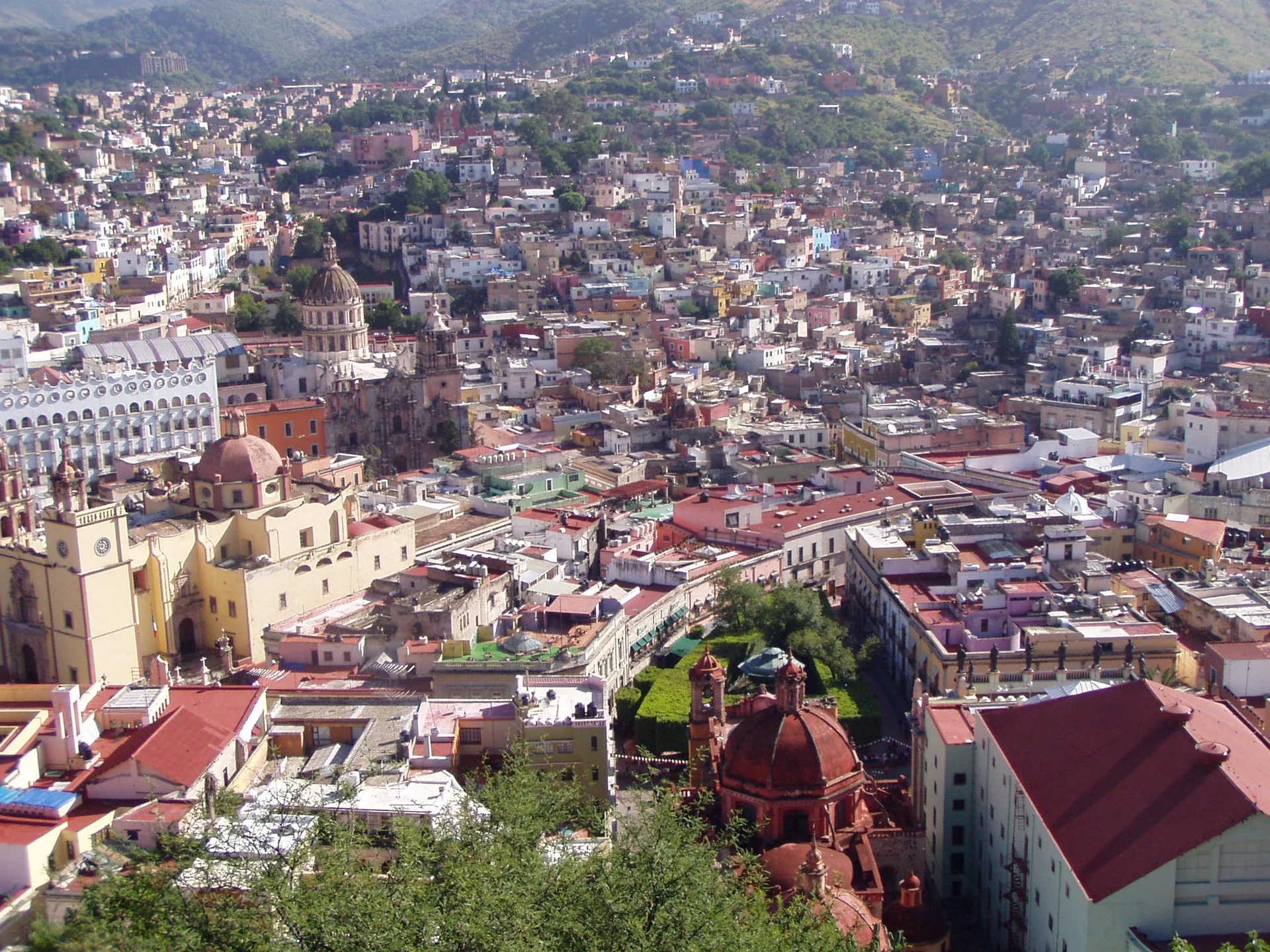
Silver-mining state capital squeezed into a ravine: pink and green stone churches, alleys, underground roads and the Cervantino festival. -
Santiago de Querétaro · City · Querétaro
Booming Bajío capital with a walkable Baroque centre, a 74-arch aqueduct and a key role in Mexican independence and the 1917 Constitution.


Towns
-
San Miguel de Allende · Town · Guanajuato
Hillside colonial town of cobbled lanes and ochre walls under a pink neo-Gothic parish church; birthplace of Ignacio Allende and an old art colony.

Top tours in Independence Route


Tours, prices and ratings from Viator, checked weekly. We may earn a commission if you book.
Getting around Independence Route
Fly into León (Bajío) (BJX).
Cities to start from: Querétaro Silao San Miguel de Allende Guanajuato Dolores Hidalgo
Most of the region is reached by road: a rental car is the easiest way to see several places in a day, and buses link the larger towns.
When to visit Independence Route
Most of Independence Route is at its best in January, February, March, and April.
Month-by-month climate on each Pueblo Mágico's page: Dolores Hidalgo