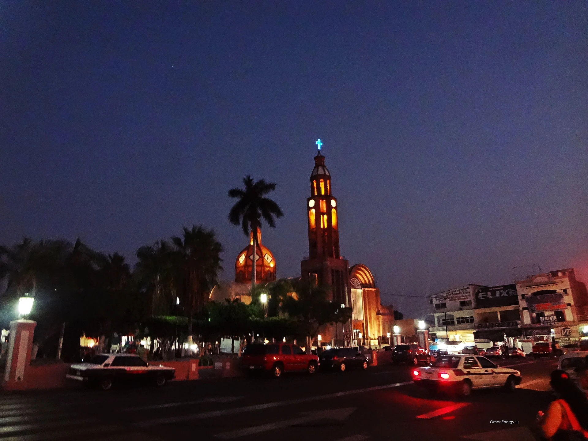
A region of Michoacán
The hot lowlands of the Balsas River basin where Guerrero, Michoacán and the State of Mexico meet, around Ciudad Altamirano, Huetamo and Apatzingán: farm country of melons, mangoes and cattle, and the home of the regional music of the same name.
1 place to visit
Places to visit in Tierra Caliente 1
1 places with their own page, grouped by kind.
Cities
-
Apatzingán · City · Michoacán
The hot lime-growing capital of Michoacán's Tierra Caliente, where Morelos's insurgent congress signed Mexico's first constitution on 22 October 1814.

Getting around Tierra Caliente
Fly into Uruapan (UPN).
Cities to start from: Apatzingán
Most of the region is reached by road: a rental car is the easiest way to see several places in a day, and buses link the larger towns.
When to visit Tierra Caliente
Most of Tierra Caliente is at its best in January, March, April, and November.
Month-by-month climate on each Pueblo Mágico's page: Paracho, Santa Clara del Cobre, Cotija