3 archaeological sites · within 60 km
There are 3 archaeological sites within 60 km of Uriangato in a straight line, an hour or a little more by road. The closest is Huandacareo La Nopalera, 20 km away; the farthest, Zona Arqueológica de Peralta, is 45 km. They are listed under the Pueblos Mágicos of Cuitzeo and Yuriria, which make good bases.
Most archaeological sites are run by INAH and open from about 8 or 9 a.m. to 5 p.m. for a small fee. Midday is the hottest and busiest time, so go early.
Best months, when most of these towns are dry with comfortable afternoons: Jan, Mar, Apr, Nov.
The Ruins 3
-
Huandacareo La Nopalera · Archaeological site · 20 km from Uriangato · Near Cuitzeo
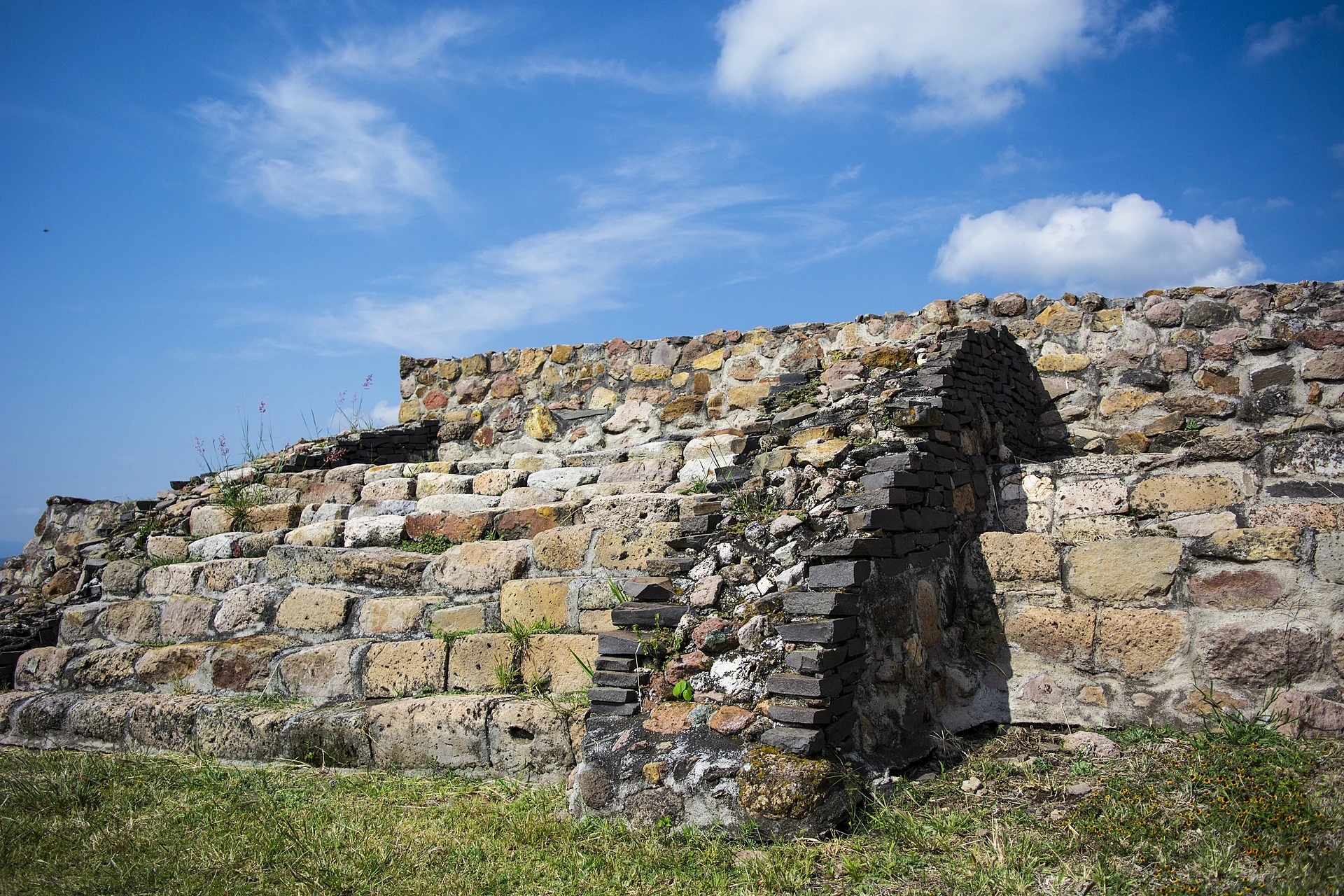
A hillside archaeological site over the lake that later served as a seat of Purépecha government, with tombs and a sunken patio. -
Tres Cerritos · Archaeological site · 21 km from Uriangato · Near Cuitzeo
An INAH archaeological site 4 km from Cuitzeo: low mounds, a ceremonial plaza and tombs later reused by the Purépecha. -
Zona Arqueológica de Peralta · Archaeological site · 45 km from Uriangato · Near Yuriria
A major Bajío city of 400–650 AD with a large enclosed ceremonial plaza and a site museum, about an hour away.


On the map
Distances are in a straight line; roads add about a third.
Where to stay
The Pueblos Mágicos these places are closest to, each with hotels, food and getting-there notes.


More places like these
More around Uriangato
Ruins elsewhere
All lists by kind and regionNames and locations from OpenStreetMap; notes and write-ups are our own.