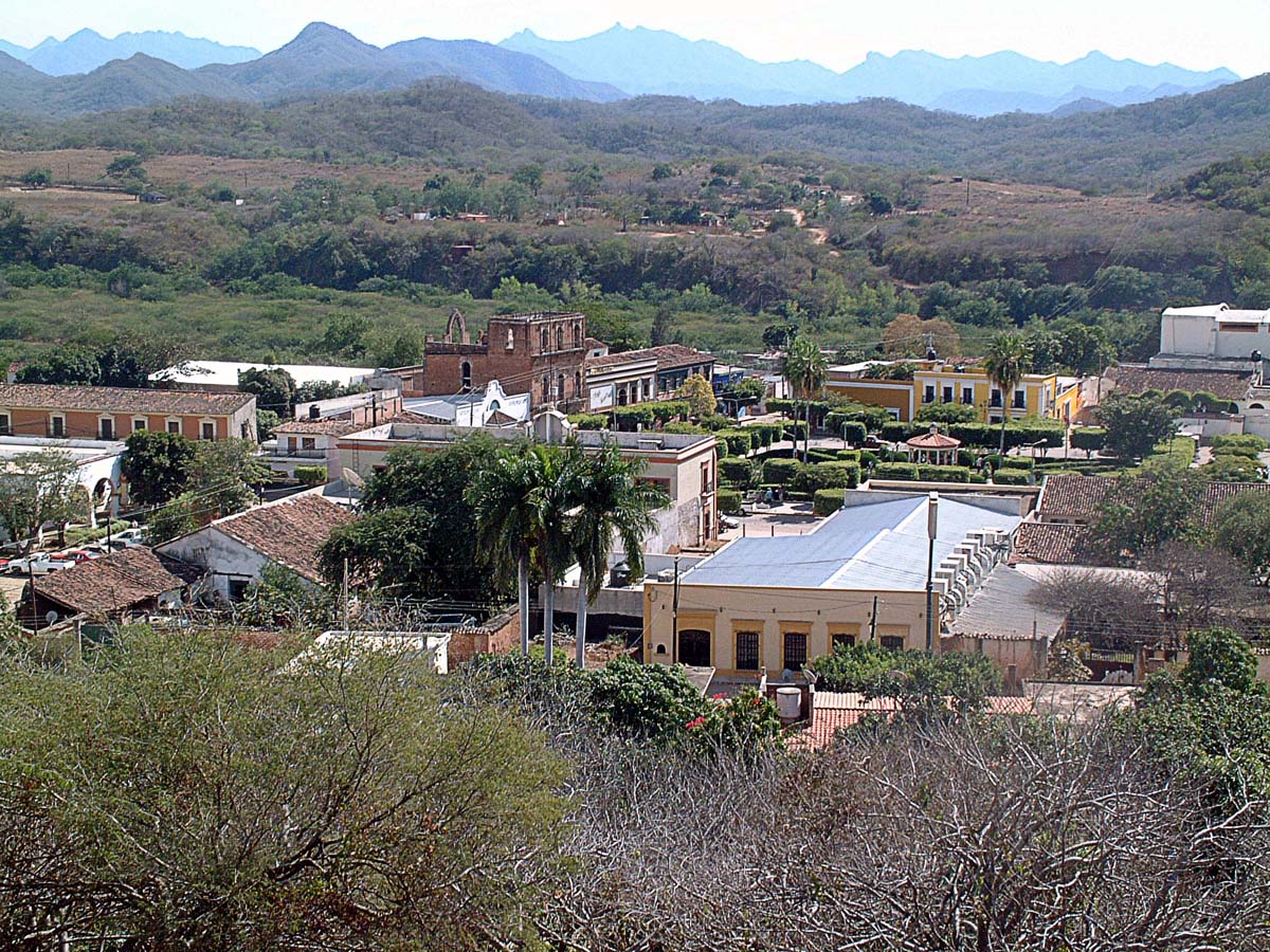
San Ignacio, also called San Ignacio de Loyola, is a small riverside town in southern Sinaloa, about 100 km from Mazatlán. It grew up beside the Piaxtla River as a Jesuit foundation and a supply point for the mines in the nearby sierra. Visitors come for the early nineteenth-century church, the central plaza, the Cristo de la Mesa sculpture, the river itself, and the natural hot springs at Aguacaliente.
History
Before the Spanish, this region was called Piaxtla and was home to several indigenous peoples, among them the Piaxtlas, Totorames, Xiximes, Hinas and Humis, with some Tepehuanes toward the sierra on the Durango side. The town was founded in 1633 by the Jesuit priest Diego González de Cueto. Upriver, the Jesuits also ran the main mission of the area, Santa Apolonia, with its visiting stations of San Mateo and Santiago.
Gold-bearing ore was found in the nearby mountains, and word spread quickly. Fortune seekers poured in, some with their families, heading up to the new diggings. Regional mining kept growing and reached its peak in the nineteenth century in the sierra of El Candelero, and the town's position on the river made it key to that success.
Local legend explains the change of name from Piaxtla. A stranger on a cinnamon-colored mule took a room at the only inn and vanished, leaving a bundle behind. Inside was a statue of a saint with the stranger's face and a note asking to be made patron of the town, and Saint Ignatius of Loyola was duly installed one October 17. The Jesuits were expelled from Spanish America in 1767 and their missions declined. San Ignacio was named a Pueblo Mágico in 2023.
Plan your trip
Places to stay in San Ignacio
Compare hotels, posadas, and rentals in and around San Ignacio.
Tours & activities
Guided tours, tastings, and day trips in and around San Ignacio.
Links open a partner site. We may earn a commission if you book, at no cost to you.
Where it is
San Ignacio within Mexico
The town up close · Open in Google Maps
Getting there
- Fly into MZT: General Rafael Buelna International Airport, about 88 km away in a straight line
Drive times are estimates from OpenStreetMap routing, without traffic.
Nearby Pueblos Mágicos

59 km away

120 km away

222 km away

229 km away
Sources: population from Wikidata (may count the whole municipality) · elevation and climate from Open-Meteo · airports from OurAirports (straight-line distance).