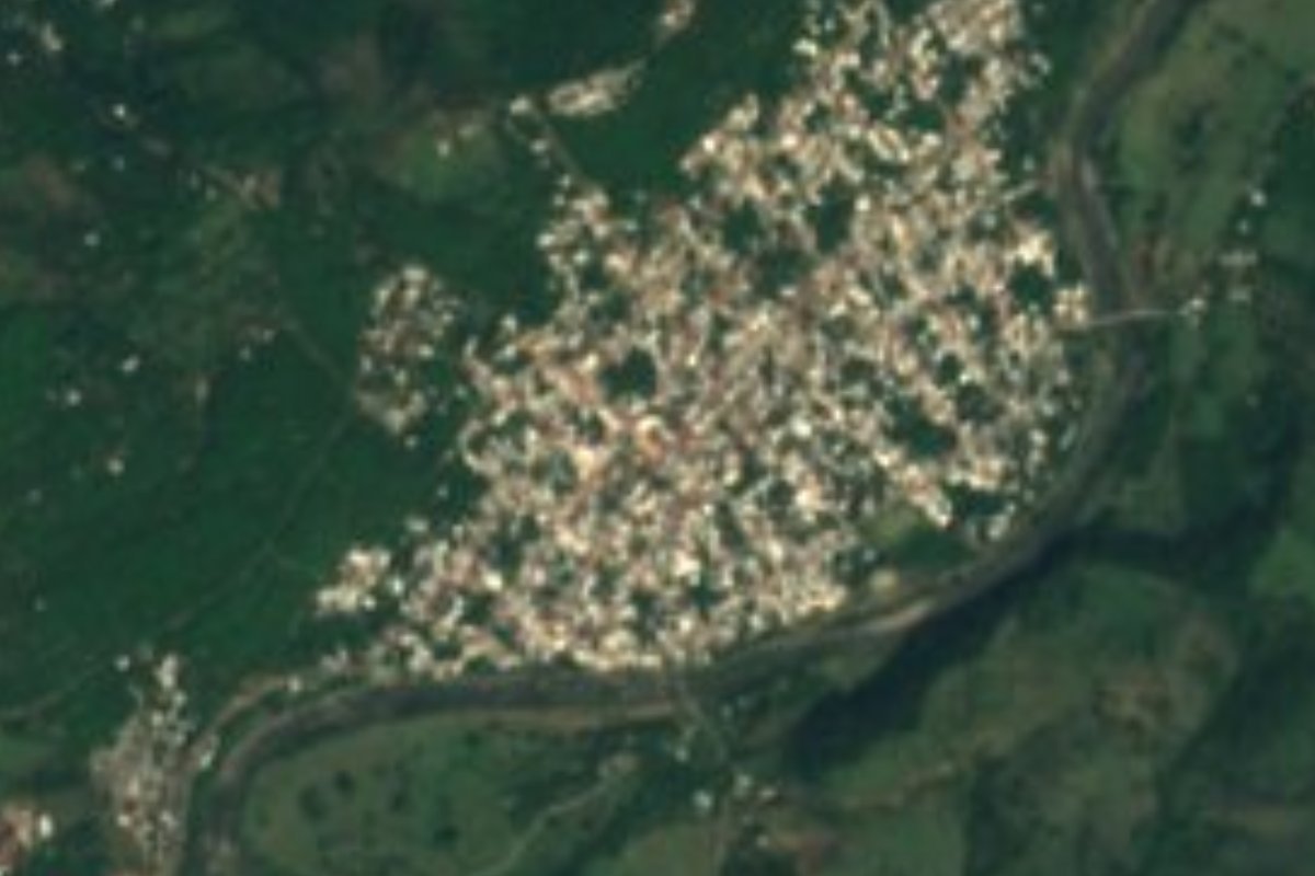
Town Municipio de Huehuetán, Chiapas
The Soconusco's first colonial capital (1540), with its church of San Pedro from 1550, 24 minutes from Tapachula on Highway 200.
From Tapachula: about 20 min by road (~25 km) How to get there ↓
Near here
See everything nearby ↓


Plan your visit to Huehuetán
Where to stay near Huehuetán
Compare hotels, posadas and guest houses in Huehuetán.
Tours to Huehuetán
Day trips around Chiapas sometimes stop in Huehuetán; a tour is the easy way to see it without a car.
Links open a partner site. We may earn a commission if you book, at no cost to you.
About Huehuetán
Huehuetán sits where the Sierra Madre de Chiapas drops onto the Pacific coastal plain, about 50 metres above sea level. It is the seat of a Soconusco municipality of 36,333 people (2020); the town itself had 8,334, and Huehuetán Estación, the settlement that grew up in 1907 around the Pan-American Railway stop, had another 6,962 and has all but merged with it. The Nahuatl name means place where the old ones abound.
Local tradition calls it the oldest town in the Soconusco and credits its founding to the leader Balum Votán. What is documented is that in 1540 the Spanish made it capital of the province of Soconusco, a role it held until 1700, when economic decline sent the authorities to Escuintla. They came back in 1792, this time as the seat of a subdelegation, after a waterspout wrecked Escuintla, and stayed until 23 May 1794, when power moved to Tapachula for good. In 1800 a flood of the Huehuetán river half destroyed the town, and it only revived after the 1882 border treaty with Guatemala.
The main survivor of that past is the church of San Pedro, built in 1550 beside an ixquixóchitl tree said to have been planted by the Aztecs; it holds archaeological pieces left by the Indigenous people who lived here. The big feasts are those of the Señor de Esquipulas, the Virgen de la Candelaria and San Pedro. Local cooking runs to chipilín tamales, pork tamales and armado, and the municipality's crafts include fireworks, bone carving and wool and cotton weaving. Expect humid heat year-round, a mean of about 28 °C, with heavy summer rain.
How to get to Huehuetán
From Tapachula it is 26 km and about 24 minutes by road: head northwest on federal Highway 200 (Tapanatepec-Talismán) toward Huixtla, and after about 21 km take the turn-off for Huehuetán, a paved branch of roughly 2 km into the centre. The nearest Pueblo Mágico is Comitán, 220 km and about 3 h 30 min by road. We found no documented colectivo route or timetable to Huehuetán; the safe option is a car or taxi from Tapachula.
Directions to Huehuetán on Google Maps
Distances are in a straight line; the road is usually longer.
Links open a partner site. We may earn a commission if you book, at no cost to you.
From the nearest cities to Huehuetán
- Tapachula · about 25 km by road, ~20 min
- Comitán · about 180 km by road, ~2 h 40 min
- San Cristóbal de las Casas · about 250 km by road, ~3 h 40 min
Drive times by road from OpenStreetMap, without traffic or stops. Times marked ~ are estimated from the straight-line distance.
Visiting Huehuetán: what to see and do
The church of San Pedro, built in 1550, and the archaeological pieces inside.
The ixquixóchitl tree beside the church.
The feasts of the Señor de Esquipulas, the Candelaria and San Pedro.
Chipilín tamales and armado.
Huehuetán Estación, the district born with the railway in 1907.
Plan your trip
Places to stay in Huehuetán
Compare hotels, posadas, and rentals in and around Huehuetán.
Tours & activities
Day trips around Chiapas sometimes stop in Huehuetán; a tour is the easy way to see it without a car.
Mobile data
Signal can drop away from Chiapas: download a map of the way to Huehuetán before you set out, or carry an eSIM with data.
Links open a partner site. We may earn a commission if you book, at no cost to you.
Closest to Huehuetán
-
Museo Arqueológico del Soconusco · Landmark · 18 km away
-
Tapachula · City · 18 km away
-
Salvador Urbina · Village · 19 km away
-
Izapa · Archaeological site · 24 km away
-
Tuxtla Chico · Town · 25 km away
-
Volcán Tacaná · Mountain · 32 km away
Location from OpenStreetMap. Written by Puebloteca.