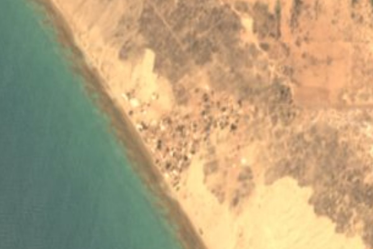
Village Caborca, Sonora
A fishing port of 584 people where the Río Asunción reaches the Sea of Cortez, 101 km from Caborca: beach, dunes and skiffs.
From Caborca: about 1 h 35 min by road (~110 km) How to get there ↓
Plan your visit to Desemboque
Where to stay near Desemboque
Compare hotels, posadas and guest houses in Desemboque.
Tours to Desemboque
Day trips and guided outings from Sonora often include Desemboque; with a local guide you can get there without a car.
How to get to Desemboque
- From Caborca: about 1 h 35 min by road (~110 km)
Links open a partner site. We may earn a commission if you book, at no cost to you.
About Desemboque
Desemboque is a fishing village on the coast of Caborca municipality in northwestern Sonora, where the desert runs straight into the Sea of Cortez. It sits 10 meters above sea level and had 584 residents in the 2020 census. The name, Spanish for river mouth, comes from the Río Asunción, the last stretch of the Río Concepción, which meets the gulf a few kilometers south of town.
Don't mix it up with El Desemboque de los Seris, the Seri community in Pitiquito municipality at the mouth of the Río San Ignacio, more than 130 km further south along the same coast. This Desemboque is Caborca's own beach, the weekend escape at the end of the road that runs from the city to the coast.
Life here turns on fishing from small skiffs (pangas), and a growing number of visitors come for the beach, the dunes and the desert tracks, best explored in a 4x4. The village is small: the highway comes in as Calle Obregón, and Calle Mar de Cortés runs along the water. There are a few plain restaurants serving the day's fish and shellfish, grocery stores, a gas station and a mechanic, all welcome after a hundred kilometers of desert. Sunsets over the gulf are the other reason to stay into the evening.
How to get to Desemboque
From Caborca, the nearest city, take State Highway 044 west: it crosses the valley's farmland, passes Plutarco Elías Calles (La Y Griega) and runs another 42 km through the desert to the coast. The drive is 1 h 45 min and 101 km by road. There are reports of an unpaved stretch, so ask about the road in Caborca and leave with a full tank, though the village has a gas station. There is no direct public transport to Desemboque: come by car, or by taxi from Caborca. Magdalena de Kino, the nearest Pueblo Mágico, lies on the far side of Caborca along Federal Highway 2.
Directions to Desemboque on Google Maps
Distances are in a straight line; the road is usually longer.
Links open a partner site. We may earn a commission if you book, at no cost to you.
From the nearest cities to Desemboque
- Caborca · about 110 km by road, ~1 h 35 min
- Puerto Peñasco · about 125 km by road, ~1 h 50 min
- Nogales · about 280 km by road, ~4 h 5 min
Drive times by road from OpenStreetMap, without traffic or stops. Times marked ~ are estimated from the straight-line distance.
Visiting Desemboque: what to see and do
The beach in front of the village, on the Sea of Cortez
The dunes where the desert meets the shore
The mouth of the Río Asunción, south of the village
The fishermen's skiffs and the day's catch
The desert dirt tracks, in a 4x4
Sunset over the gulf
Plan your trip
Places to stay in Desemboque
Compare hotels, posadas, and rentals in and around Desemboque.
Tours & activities
Day trips and guided outings from Sonora often include Desemboque; with a local guide you can get there without a car.
Mobile data
Signal can drop away from Sonora: download a map of the way to Desemboque before you set out, or carry an eSIM with data.
Links open a partner site. We may earn a commission if you book, at no cost to you.
Near Desemboque
-
Caborca · City
~1 h 35 min drive · 83 km


Drive times by road from OpenStreetMap, without traffic. Times marked ~ are estimated from the straight-line distance.
Location from OpenStreetMap. Written by Puebloteca.