Town Pitiquito, Sonora
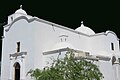
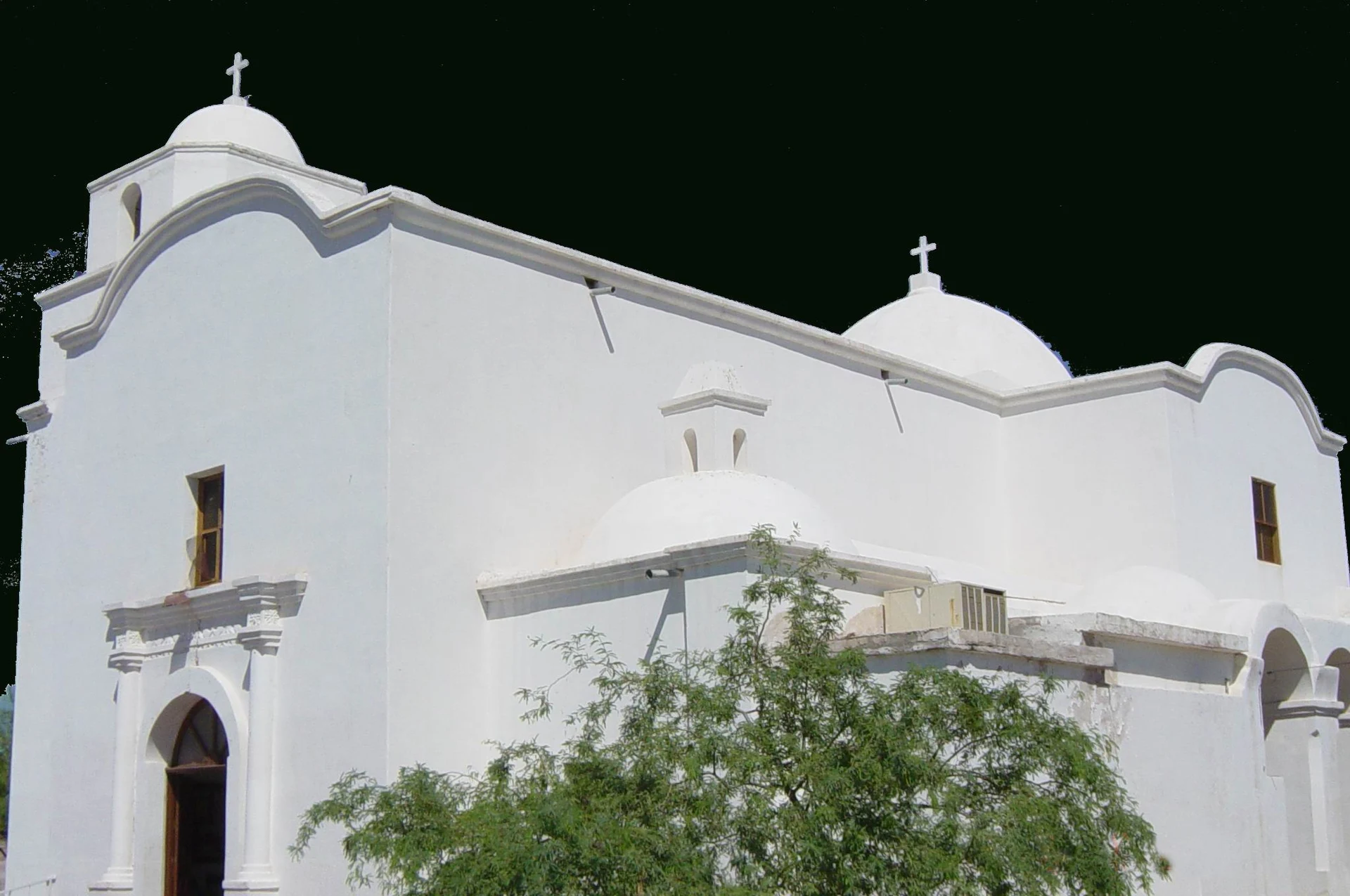
Ten minutes from Caborca: a 1781 Franciscan church whose hidden wall paintings, a skeleton among them, reappeared in 1966.
From Caborca: about 15 min by road (~15 km) How to get there ↓
Near here
See everything nearby ↓

Plan your visit to Pitiquito
Where to stay near Pitiquito
Compare hotels, posadas and guest houses in Pitiquito.
Tours to Pitiquito
Day trips around Sonora sometimes stop in Pitiquito; a tour is the easy way to see it without a car.
Links open a partner site. We may earn a commission if you book, at no cost to you.
About Pitiquito
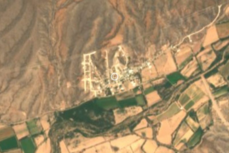
Pitiquito is the seat of its municipality in northwestern Sonora, about 320 meters up and only 11 km from Caborca. Local tradition says the name comes from a native leader called Piti or Pitic. Father Eusebio Kino founded the mission in 1694 as Natividad del Señor de Pitiquin, and in Jesuit times it was an outstation of Caborca: an adobe chapel under construction in 1706 was gone by 1730, and in 1772 the place was reported to have neither church nor priest's house. Pitiquito became a municipality in 1914, during the Revolution.
The present brick-and-lime church of San Diego de Pitiquito was begun in the late 1770s by Fray José Matías Moreno, who was baptizing there by March 1776, and completed by Fray Pedro Font, chronicler of the Anza expedition, who died at Pitiquito in September 1781, weeks after Moreno was killed at Yuma. What makes it famous is on the walls. In 1966 a girl at Mass saw a skeleton appear on a column, along with the words MANE THECEL PHARES. The paintings had lain under whitewash for years, and the detergent used to clean the walls reacted with the lime and brought them back. Conservators later uncovered more: Lucifer, the Virgin Mary, symbols of the Passion, emblems of the evangelists and a pair of scales, 19th-century folk art, plus painted 18th-century frames with serpents and figures in headdresses that may be the work of an O'odham painter.
Summers are dry and fierce, with July highs averaging 40 °C, and winters mild. The San Diego fiestas fill the first two weeks of November, and there are horse races on most Sundays of the year.
How to get to Pitiquito
Pitiquito is on Federal Highway 2, 10 minutes and 11 km east of Caborca, the nearest city; the church is in the middle of town. From Hermosillo, take Highway 15 to Santa Ana and then Highway 2 west through Altar. Magdalena de Kino, the nearest Pueblo Mágico, is 1 h 40 min and 113 km away. Buses on Highway 2 between Santa Ana and Caborca pass through Pitiquito, and from Caborca the short hop is easy by taxi.
Directions to Pitiquito on Google Maps
Distances are in a straight line; the road is usually longer.
Links open a partner site. We may earn a commission if you book, at no cost to you.
From the nearest cities to Pitiquito
- Caborca · about 15 km by road, ~15 min
- Nogales · about 165 km by road, ~2 h 25 min
- Puerto Peñasco · about 205 km by road, ~3 h
Drive times by road from OpenStreetMap, without traffic or stops. Times marked ~ are estimated from the straight-line distance.
Before you go to Pitiquito: hours, prices and tips
- Best season
- San Diego fiestas through the first two weeks of November; horse races on most Sundays. Wikipedia (es) · checked Oct 2026
Hours and prices change, especially around holidays. Each fact links to where we checked it.
Visiting Pitiquito: what to see and do
The church of San Diego de Pitiquito, built 1776-1781
The wall paintings: the skeleton, Lucifer, the Virgin and the scales
The 18th-century painted frames with serpents
Sunday horse races
The San Diego fiestas in November
Plan your trip
Places to stay in Pitiquito
Compare hotels, posadas, and rentals in and around Pitiquito.
Tours & activities
Day trips around Sonora sometimes stop in Pitiquito; a tour is the easy way to see it without a car.
Mobile data
Signal can drop away from Sonora: download a map of the way to Pitiquito before you set out, or carry an eSIM with data.
Links open a partner site. We may earn a commission if you book, at no cost to you.
Closest to Pitiquito
Near Pitiquito
-
Caborca · City
~15 min drive · 11 km

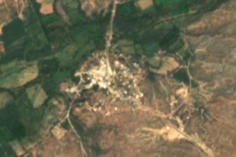

Drive times by road from OpenStreetMap, without traffic. Times marked ~ are estimated from the straight-line distance.
Location from OpenStreetMap. Written by Puebloteca.