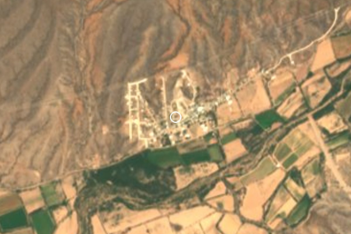
Village Oquitoa, Sonora
Altar valley village whose flat-roofed San Antonio de Padua church, with mesquite beams, stands on a hill inside the cemetery.
From Caborca: about 45 min by road (~50 km) How to get there ↓
Near here
See everything nearby ↓



Plan your visit to Oquitoa
Where to stay near Oquitoa
Compare hotels, posadas and guest houses in Oquitoa.
Tours to Oquitoa
Day trips and guided outings from Magdalena de Kino often include Oquitoa; with a local guide you can get there without a car.
How to get to Oquitoa
- From Caborca: about 45 min by road (~50 km)
- Nearest airport: Hermosillo (HMO), 2 h 36 min by car to Magdalena de Kino
Links open a partner site. We may earn a commission if you book, at no cost to you.
About Oquitoa
Oquitoa, seat of its municipality, is a village of 474 people in the Altar river valley. The name comes from the Piman language and is usually given as white woman, though another reading takes it from hukit'o, meaning next to or nearby. People live from cattle and from fields of alfalfa, beans, corn and fodder, and the center has a quiet little plaza with a wrought-iron bandstand.
Father Kino first mentions San Antonio de Uquetoa on January 19, 1689, and its first priest, Antonio Arias, named it for his patron, Saint Anthony of Padua. For decades it was only an outstation, of Tubutama, Caborca and later Átil. There was no church in 1723, a chapel was going up around 1730, the 1751 revolt damaged it, and when Bishop Antonio de los Reyes visited in 1772 he counted 106 souls and found neither church nor priest's house. Fray Francisco Moyano came over from Átil around 1795, became head of the Pimería Alta missions in 1801, probably moved the mission's seat to Oquitoa, and served until his death in 1818.
The church you see today stands on a rise just west of the village, ringed by the cemetery. It is a single-nave hall with a flat roof on mesquite beams, the Jesuit way of building in this region, and it is the only mission church in the Pimería Alta still holding regular services that keeps that form. The Franciscans refurbished it between 1788 and 1797, probably adding the brick façade with its scalloped doorway and the triumphal arch between nave and sanctuary; the choir loft and two side windows were rebuilt in 1920. Inside are colonial paintings of the life of Christ, survivors of an altarpiece lost to termites, a copper baptismal font and old carved saints. On the Day of the Dead families light candles on every grave and the whole hill glows.
How to get to Oquitoa
From Caborca, the nearest city, take Federal Highway 2 east to Altar and turn north there onto State Highway 43, which climbs the Altar valley toward Átil, Tubutama and Sáric; Oquitoa is a few minutes out of Altar, on the south side of the road. It is 40 minutes and 44 km by paved road in all. Magdalena de Kino, the nearest Pueblo Mágico, is 1 h 30 min and 102 km away. Buses on Highway 2 reach Altar, but we found no scheduled service on to Oquitoa: from Altar you continue by car or taxi.
Directions to Oquitoa on Google Maps
Distances are in a straight line; the road is usually longer.
Links open a partner site. We may earn a commission if you book, at no cost to you.
From the nearest cities to Oquitoa
- Caborca · about 50 km by road, ~45 min
- Nogales · about 130 km by road, ~1 h 55 min
- Puerto Peñasco · about 240 km by road, ~3 h 30 min
Drive times by road from OpenStreetMap, without traffic or stops. Times marked ~ are estimated from the straight-line distance.
Before you go to Oquitoa: hours, prices and tips
- Best season
- On the Day of the Dead in November families light candles beside every grave in the cemetery around the church; by the next morning it is covered in hundreds of flowers. Arizona Daily Star (Big Jim Griffith) · checked Oct 2026
Hours and prices change, especially around holidays. Each fact links to where we checked it.
Visiting Oquitoa: what to see and do
The church of San Antonio de Padua, with its flat roof on mesquite beams
The brick façade with scalloped doorway and the triumphal arch inside
The colonial paintings of the life of Christ and the copper baptismal font
The hilltop cemetery around the church, looking over the valley
The plaza and its wrought-iron bandstand
The old San Antonio flour mill, a little past the church
Plan your trip
Places to stay in Oquitoa
Compare hotels, posadas, and rentals in and around Oquitoa.
Tours & activities
Day trips and guided outings from Magdalena de Kino often include Oquitoa; with a local guide you can get there without a car.
Rental cars
Pick up a car at HMO (Hermosillo): about 2 h 36 min by road to Magdalena de Kino, then 74 km more to Oquitoa, on your own schedule.
Flights
The nearest airport with scheduled flights is Hermosillo (HMO), about 2 h 36 min by road from Magdalena de Kino, the base for Oquitoa.
Mobile data
Signal can drop away from Magdalena de Kino: download a map of the way to Oquitoa before you set out, or carry an eSIM with data.
Links open a partner site. We may earn a commission if you book, at no cost to you.
When to go to Oquitoa mild
Oquitoa shares the climate of Magdalena de Kino, 74 km away. The best months to visit are April, October, November, and December.
See the month-by-month climate of Magdalena de Kino
Weather in Oquitoa now and the next 7 days
Live forecast from Open-Meteo. Chance of rain is the day's highest.
The closest Pueblo Mágico: Magdalena de Kino

Magdalena de Kino is the Pueblo Mágico closest to Oquitoa, with places to stay, food, and more to see.
Closest to Oquitoa
-
Altar · Town · 10 km away
-
Átil · Village · 18 km away
-
Tubutama · Town · 30 km away
-
Pitiquito · Town · 31 km away
-
Trincheras · Village · 43 km away
Near Oquitoa
-
Caborca · City
~45 min drive · 40 km -
Nogales · City
~1 h 55 min drive · 100 km


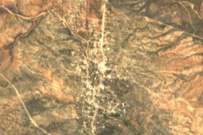
Drive times by road from OpenStreetMap, without traffic. Times marked ~ are estimated from the straight-line distance.
Location from OpenStreetMap. Written by Puebloteca.