Village Sáric, Sonora
Village in the upper Altar valley where Kino founded Santa Gertrudis in 1690 and where the 1751 Pima revolt broke out.
From Nogales: about 55 min by road (~60 km) How to get there ↓
Near here
See everything nearby ↓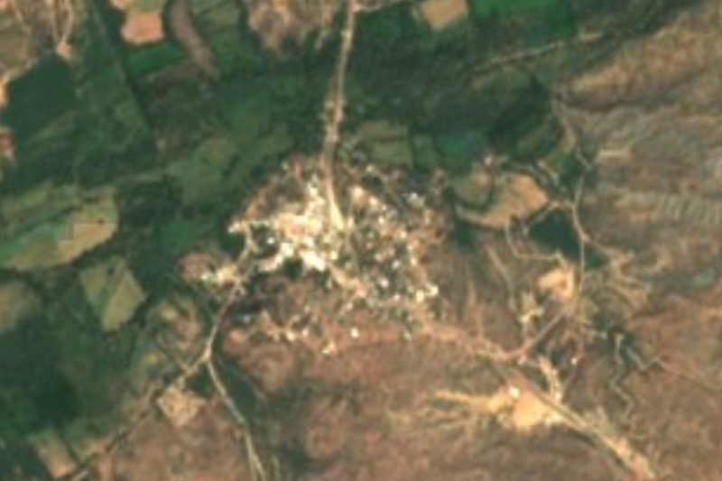

Plan your visit to Sáric
Where to stay near Sáric
Compare hotels, posadas and guest houses in Sáric.
Tours to Sáric
Day trips and guided outings from Magdalena de Kino often include Sáric; with a local guide you can get there without a car.
How to get to Sáric
- From Nogales: about 55 min by road (~60 km)
- Nearest airport: Hermosillo (HMO), 2 h 36 min by car to Magdalena de Kino
Links open a partner site. We may earn a commission if you book, at no cost to you.
About Sáric
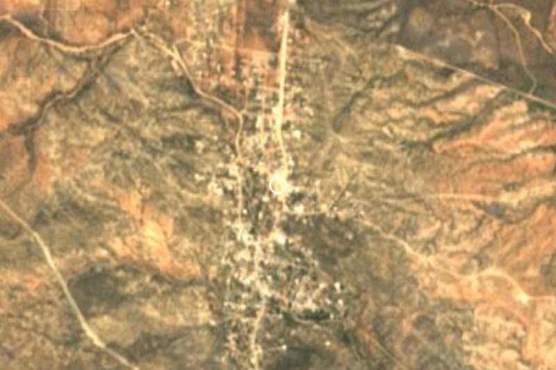
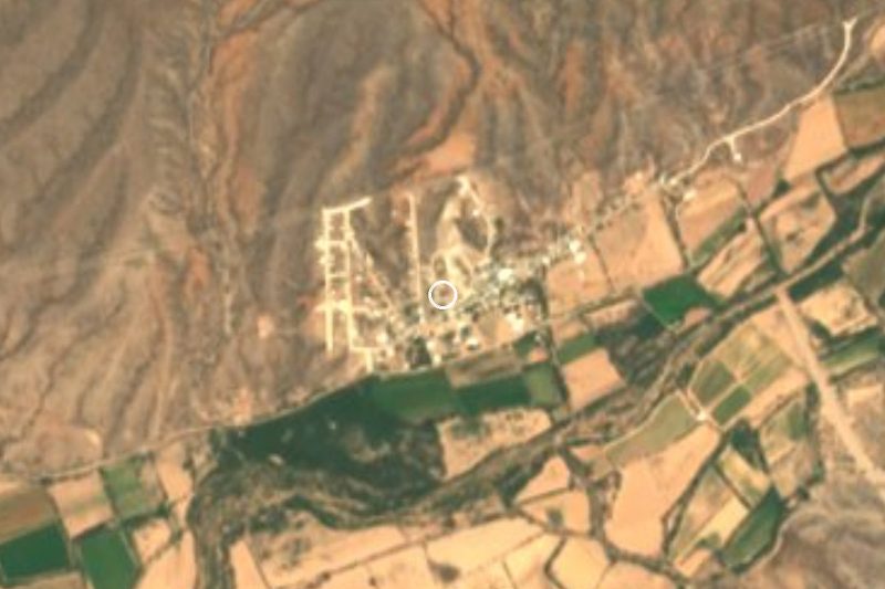
Sáric is the seat of its municipality in the far north of Sonora, about 778 meters up in the upper valley of the Altar River, which rises in the Arizona mountains and runs south through the municipality. It had 706 residents in 2020. The name comes from the O'odham Ṣaʼalk, meaning "mountain pass." The municipality, created in 1934, borders Arizona to the north, and its largest settlement is not the seat but El Sásabe, right on the line.
Father Eusebio Kino founded the mission of Santa Gertrudis del Sáric here in 1690. It became a head mission, with outstations at Búsanic, Aquimuri and San Antonio de la Arizona, and a year later Kino founded Tubutama further down the river. Jesuits such as Juan Nentuig served here, followed by Franciscans until 1828. On the night of 20 November 1751 the Pima revolt began at Sáric: Luis Oacpicagigua, whom the governor had named captain general of the northern Pima, lured 18 settlers to his house and had them killed. The next day the uprising spread to Caborca, Pitiquito and Tubac. Luis of Sáric, as he is remembered, surrendered at Tubac on 18 March 1752 and died in prison at Horcasitas.
The desert soil is poor, so farming keeps to the river bottoms, with wheat, corn, alfalfa, sorghum and ryegrass, plus range cattle. The village had 643 people in 1900, fell to 271 by 1960 and reached 892 in 2010. Being close to the border has also brought violence: on 1 July 2010 a gunfight between two criminal groups on the road near the village left 21 dead.
How to get to Sáric
From Nogales, the nearest city, it is 1 h 40 min and 75 km by road: about 14 km south on Federal Highway 15, then west on State Highway 43, the Nogales-Sáric road. From the south, the same Highway 43 climbs from Altar along the river through Oquitoa, Átil and Tubutama, about 70 km. Magdalena de Kino, the nearest Pueblo Mágico, is 1 h 40 min and 89 km away on State Highway 49 (Magdalena-Tubutama) and then Highway 43 north. From Sáric, State Highway 185 runs about 50 km north to El Sásabe on the border. No published bus route serves the village; come by car or by taxi from Nogales.
Directions to Sáric on Google Maps
Distances are in a straight line; the road is usually longer.
Links open a partner site. We may earn a commission if you book, at no cost to you.
From the nearest cities to Sáric
- Nogales · about 60 km by road, ~55 min
- Caborca · about 110 km by road, ~1 h 40 min
- Agua Prieta · about 230 km by road, ~3 h 20 min
Drive times by road from OpenStreetMap, without traffic or stops. Times marked ~ are estimated from the straight-line distance.
Visiting Sáric: what to see and do
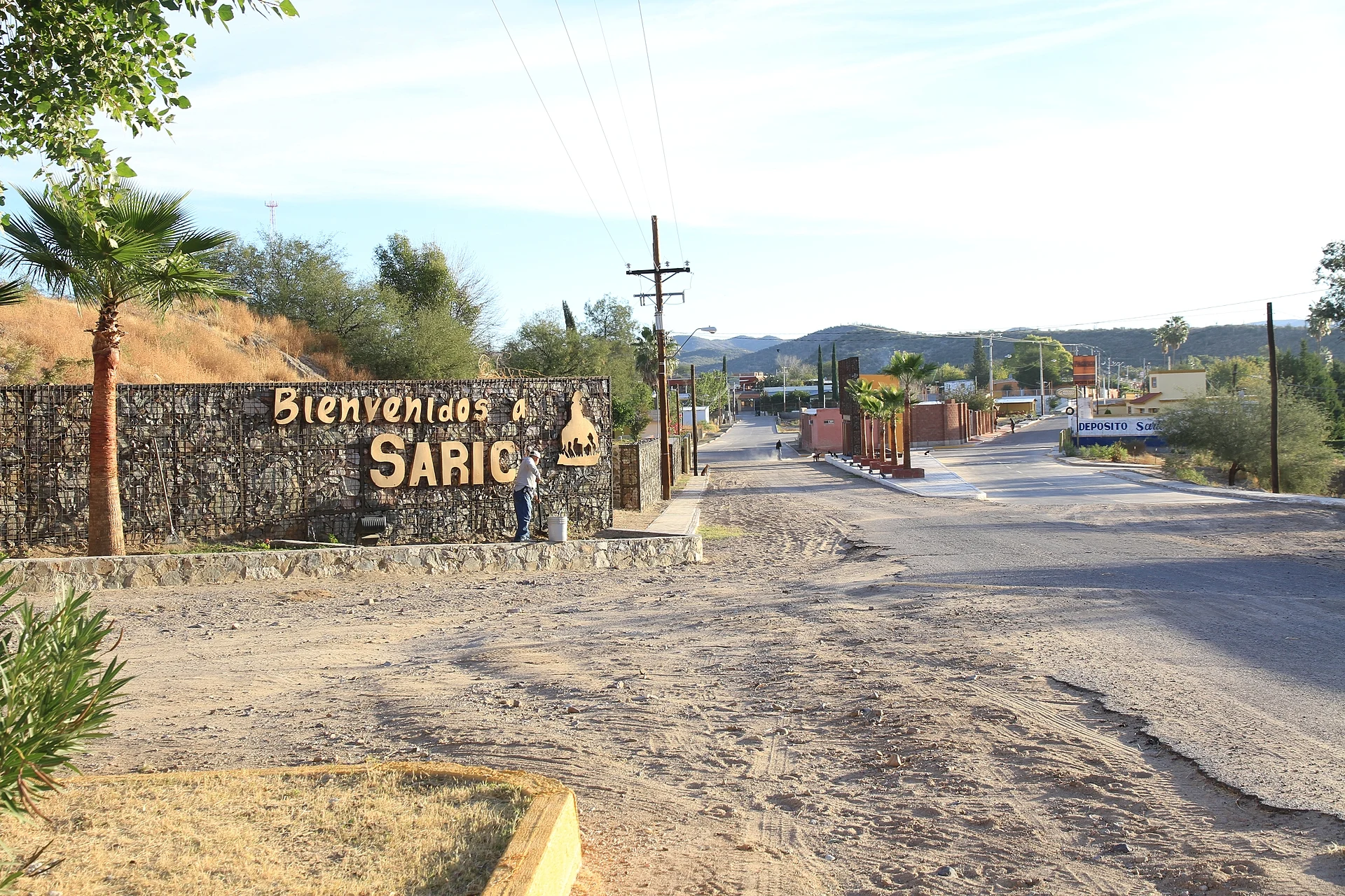
The village entrance with its stone "Bienvenidos a Sáric" wall
The site of Kino's 1690 mission of Santa Gertrudis del Sáric
The irrigated river bottoms of the Altar River
The mission of San Pedro y San Pablo de Tubutama, founded in 1691, downriver
State Highway 185 north to El Sásabe and the border
Plan your trip
Places to stay in Sáric
Compare hotels, posadas, and rentals in and around Sáric.
Tours & activities
Day trips and guided outings from Magdalena de Kino often include Sáric; with a local guide you can get there without a car.
Rental cars
Pick up a car at HMO (Hermosillo): about 2 h 36 min by road to Magdalena de Kino, then 66 km more to Sáric, on your own schedule.
Flights
The nearest airport with scheduled flights is Hermosillo (HMO), about 2 h 36 min by road from Magdalena de Kino, the base for Sáric.
Mobile data
Signal can drop away from Magdalena de Kino: download a map of the way to Sáric before you set out, or carry an eSIM with data.
Links open a partner site. We may earn a commission if you book, at no cost to you.
When to go to Sáric mild
Sáric shares the climate of Magdalena de Kino, 66 km away. The best months to visit are April, October, November, and December.
See the month-by-month climate of Magdalena de Kino
Weather in Sáric now and the next 7 days
Live forecast from Open-Meteo. Chance of rain is the day's highest.
The closest Pueblo Mágico: Magdalena de Kino

Magdalena de Kino is the Pueblo Mágico closest to Sáric, with places to stay, food, and more to see.
Closest to Sáric
Near Sáric
-
Nogales · City
~55 min drive · 48 km -
Caborca · City
~1 h 40 min drive · 86 km




Drive times by road from OpenStreetMap, without traffic. Times marked ~ are estimated from the straight-line distance.
Location from OpenStreetMap. Written by Puebloteca.