Village Trincheras, Sonora
Ranching and cheese village at the foot of Cerro de Trincheras, a hill wrapped in 900-plus stone terraces; free entry Tuesday to Sunday.
From Caborca: about 1 h 20 min by road (~90 km) How to get there ↓
Near here
See everything nearby ↓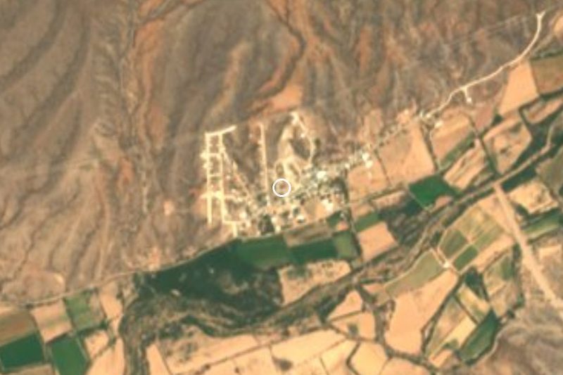


Plan your visit to Trincheras
Where to stay near Trincheras
Compare hotels, posadas and guest houses in Trincheras.
Tours to Trincheras
Day trips and guided outings from Magdalena de Kino often include Trincheras; with a local guide you can get there without a car.
How to get to Trincheras
- From Caborca: about 1 h 20 min by road (~90 km)
- Nearest airport: Hermosillo (HMO), 2 h 36 min by car to Magdalena de Kino
Links open a partner site. We may earn a commission if you book, at no cost to you.
About Trincheras
Trincheras is the seat of its municipality in the desert of northwestern Sonora, about 505 meters up on the bed of the Río Magdalena, which meets the Río Altar a few kilometers downstream. It had 929 residents in 2020, a good share of them named Murrieta, and lives off cattle, mining and the cheese it sells to neighboring towns.
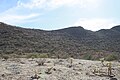
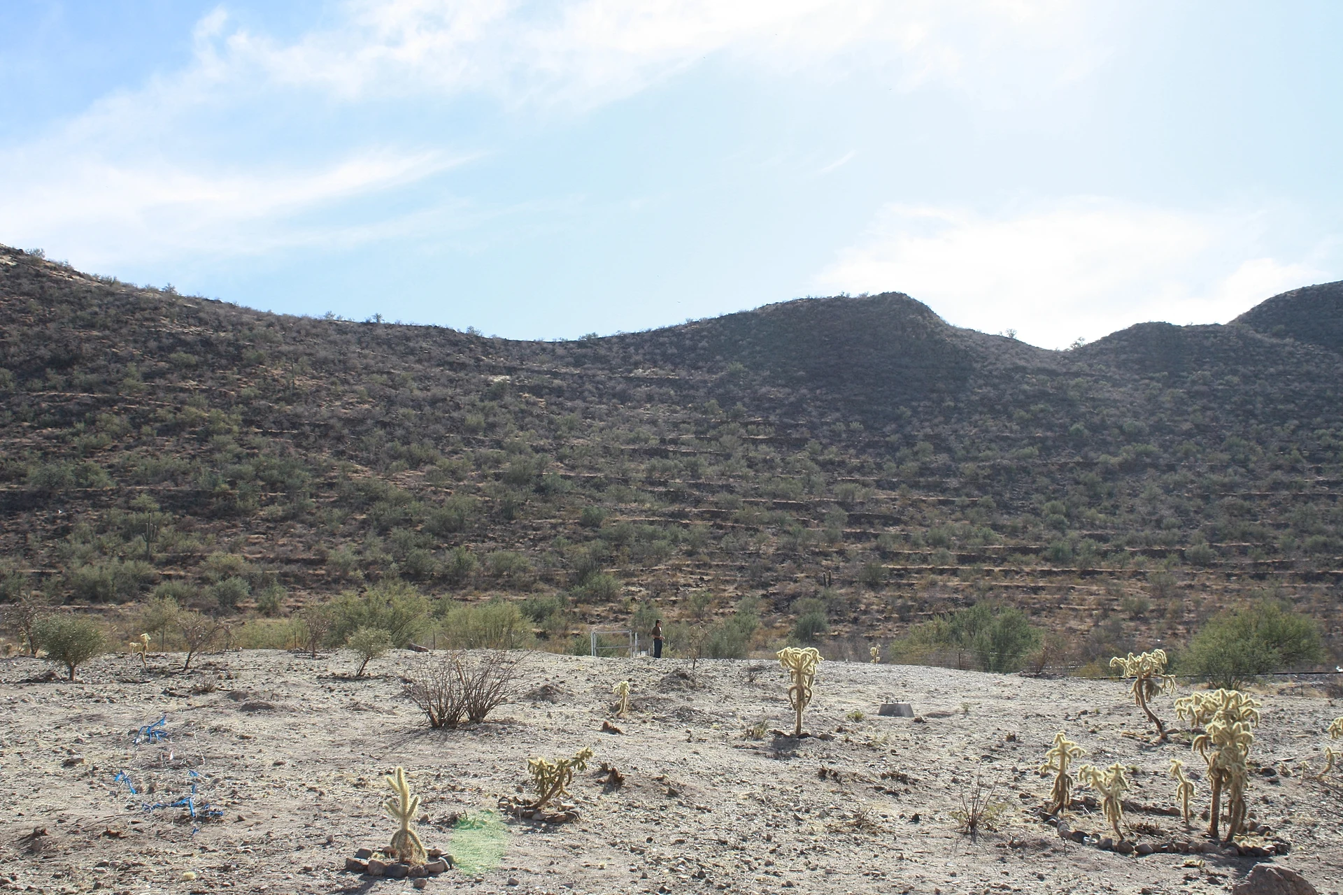
The name comes from a misreading. In 1693 Captain Juan Mateo Manje, riding the Magdalena with Father Kino, saw the low walls ringing the hill next to town and took them for military trenches. They are in fact more than 900 terraces of river stone built for houses and ritual spaces. Between 1300 and 1450 the hill, which rises over 150 meters from the plain, was the center for farming villages in the Magdalena, Altar and Concepción valleys and was home to more than a thousand people. On the summit is the Plaza de El Caracol, with its shell-shaped stone ring and two V-shaped structures aligned with sunrise at the solstices; on the north slope is La Cancha, an open ceremonial ground. INAH opened a museum at the foot of the hill in 2011, and a community museum shows finds from the La Playa site, 10 km north.
The town itself is younger. Residents lived at San Rafael del Alamito, about 2 km away, until the river flood of 1905 pushed them to the base of the hill. Before that came gold: Spanish soldiers found placer gold in 1770, and between 1790 and 1810 as many as 10,000 people crowded into the area. The big fiesta is for San Rafael Arcángel on October 24, with live music, stalls and horse races; the day before, October 23, is Joaquín Murrieta Day, for the Murrieta the town claims as a native son. Summers are brutal, with a record of 49.5 °C, and most rain falls in July and August.
How to get to Trincheras
Caborca, the nearest city, is 1 h 20 min and 86 km away by road; Magdalena de Kino, the nearest Pueblo Mágico, is 1 h 25 min and 84 km. From Hermosillo, take Federal Highway 15 toward Nogales as far as Santa Ana, then Federal Highway 2 toward Caborca; just past the km 40 toll booth, the turnoff for Trincheras leads 42 km to town. The archaeological zone is in town, at Boulevard Joaquín Murrieta and Calle Sonora. We found no bus route into Trincheras: buses on Highway 2 pass the turnoff, but the town is far from it, so plan on driving.
Directions to Trincheras on Google Maps
Distances are in a straight line; the road is usually longer.
Links open a partner site. We may earn a commission if you book, at no cost to you.
From the nearest cities to Trincheras
- Caborca · about 90 km by road, ~1 h 20 min
- Nogales · about 155 km by road, ~2 h 15 min
- Hermosillo · about 200 km by road, ~3 h
Drive times by road from OpenStreetMap, without traffic or stops. Times marked ~ are estimated from the straight-line distance.
Before you go to Trincheras: hours, prices and tips
- Hours
- Archaeological zone: Tuesday to Sunday, 9:00 to 18:00. Site museum: Wednesday to Sunday, 9:00 to 16:00. INAH · checked Oct 2026
- Entry
- Free entry to the archaeological zone and the site museum for Mexican and foreign visitors. Visits outside opening hours cost MXN 730. INAH · checked Oct 2026
- Best season
- San Rafael Arcángel fiesta on October 24 and Joaquín Murrieta Day on October 23. Summers are very hot, with a record of 49.5 °C. Wikipedia · checked Oct 2026
- Rules
- No smoking, no food and no pets. The La Playa and Cerro La Nana sites can only be visited with INAH staff. INAH · checked Oct 2026
Hours and prices change, especially around holidays. Each fact links to where we checked it.
Visiting Trincheras: what to see and do
Cerro de Trincheras archaeological zone and its trail to the top
Plaza de El Caracol and the solstice-aligned V structures
La Cancha, the ceremonial ground on the north slope
The site museum at the foot of the hill
The community museum with finds from La Playa
The local cheese
The San Rafael fiesta and horse races on October 24
Plan your trip
Places to stay in Trincheras
Compare hotels, posadas, and rentals in and around Trincheras.
Tours & activities
Day trips and guided outings from Magdalena de Kino often include Trincheras; with a local guide you can get there without a car.
Rental cars
Pick up a car at HMO (Hermosillo): about 2 h 36 min by road to Magdalena de Kino, then 60 km more to Trincheras, on your own schedule.
Flights
The nearest airport with scheduled flights is Hermosillo (HMO), about 2 h 36 min by road from Magdalena de Kino, the base for Trincheras.
Mobile data
Signal can drop away from Magdalena de Kino: download a map of the way to Trincheras before you set out, or carry an eSIM with data.
Links open a partner site. We may earn a commission if you book, at no cost to you.
When to go to Trincheras mild
Trincheras shares the climate of Magdalena de Kino, 60 km away. The best months to visit are April, October, November, and December.
See the month-by-month climate of Magdalena de Kino
Weather in Trincheras now and the next 7 days
Live forecast from Open-Meteo. Chance of rain is the day's highest.
The closest Pueblo Mágico: Magdalena de Kino

Magdalena de Kino is the Pueblo Mágico closest to Trincheras, with places to stay, food, and more to see.
Closest to Trincheras
Near Trincheras
-
Caborca · City
~1 h 20 min drive · 69 km


Drive times by road from OpenStreetMap, without traffic. Times marked ~ are estimated from the straight-line distance.
Location from OpenStreetMap. Written by Puebloteca.