Village Atil, Sonora
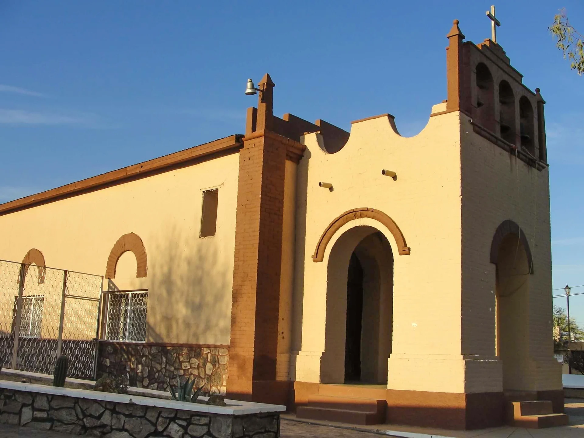
Small Altar river village where the adobe walls of the Jesuit mission slowly melt beside the church still used for Mass.
From Caborca: about 1 h 5 min by road (~75 km) How to get there ↓
Near here
See everything nearby ↓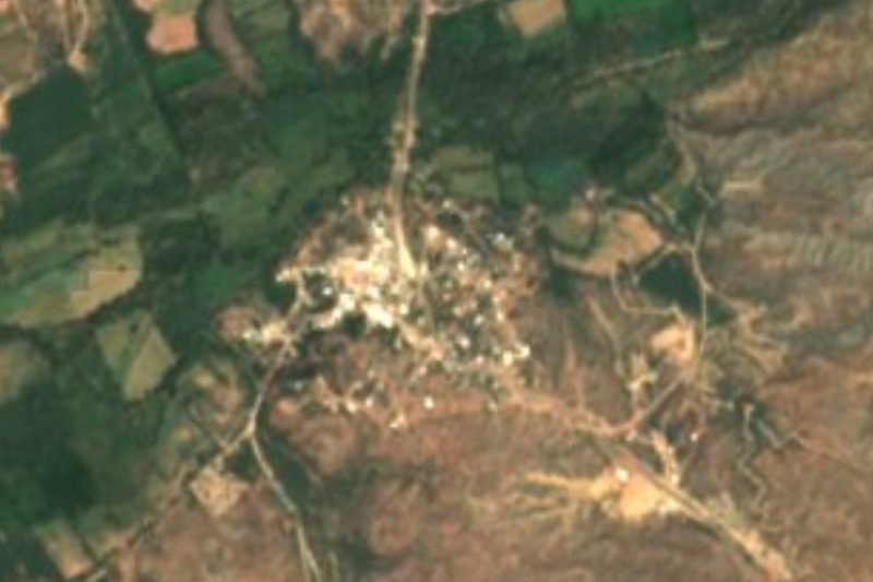


Plan your visit to Átil
Where to stay near Átil
Compare hotels, posadas and guest houses in Átil.
Tours to Átil
Day trips and guided outings from Magdalena de Kino often include Átil; with a local guide you can get there without a car.
How to get to Átil
- From Caborca: about 1 h 5 min by road (~75 km)
- Nearest airport: Hermosillo (HMO), 2 h 36 min by car to Magdalena de Kino
Links open a partner site. We may earn a commission if you book, at no cost to you.
About Átil
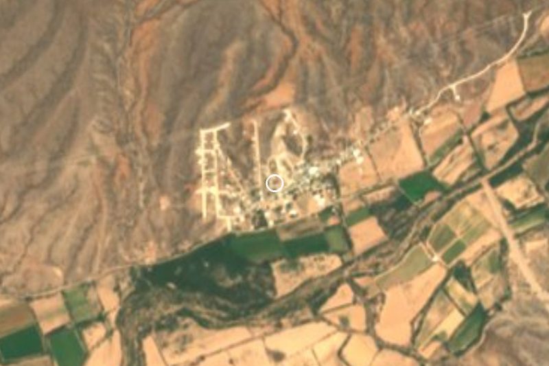
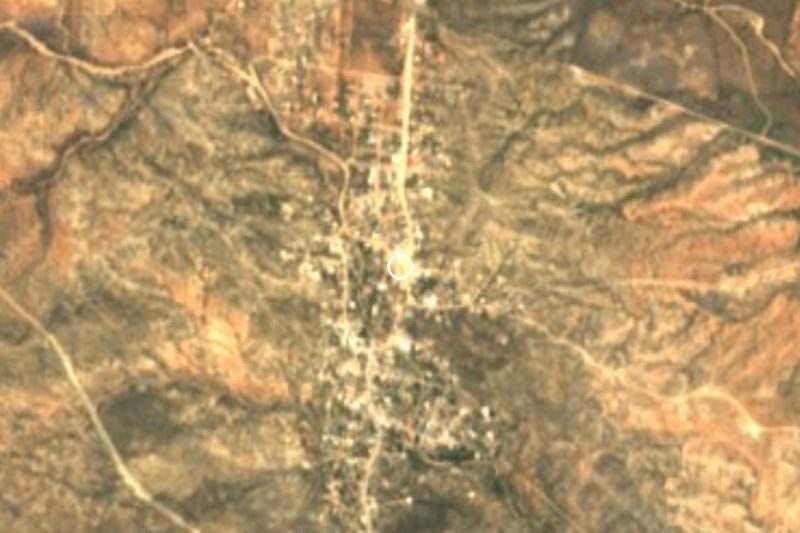
Átil is the seat of one of the smallest municipalities in Sonora: the village had 612 people in 2020 and lies about 560 meters up in the basin of the Altar river, which here only runs in the rainy season. The name is Piman for arrowhead. Fields are watered from the Cuauhtémoc reservoir in the north of the municipality, and people live from farming and cattle.
Jesuit records call the mission Los Siete Príncipes del Átil, the Seven Archangels. There is no evidence of a church in Kino's day; a 1730 report says one was only just being started. The church and priest's house went up under Father Jacobo Sedelmayr of Tubutama, while Átil was his outstation, and in March 1747 he wrote that he had brought some 200 O'odham from the coast, who settled and were baptized here. From 1756 to 1761 the Jesuit Ignaz Pfefferkorn was based in Átil; he later wrote a well-known account of the province of Sonora. When the Franciscans took over in 1768 the patron became Saint Francis of Assisi and Átil became a mission seat, with Oquitoa as its outstation. It had 137 souls in 1772 and two resident friars in 1797, when the church was described as two rooms, nave and sacristy, with adobe walls and floor and a beamed roof.
Those adobe walls still stand in part, slowly melting next to the church in use today. Near the village are also the ruins of Santa Teresa, a ranch Kino founded in 1701. Through the 19th century Átil belonged to the Altar district; it became a municipality late in that century, was abolished in 1930 and restored on December 24, 1934.
How to get to Átil
From Caborca, the nearest city, head east on Federal Highway 2 to Altar and then north on State Highway 43 up the Altar valley; you pass Oquitoa and reach Átil further on. It is 1 hour and 63 km on paved road. The same road continues upriver to Tubutama, another mission on the route. Magdalena de Kino, the nearest Pueblo Mágico, is 1 h 25 min and 77 km away. Buses on Highway 2 go as far as Altar; we found no scheduled transport on to Átil, so the last stretch is by car or taxi.
Directions to Átil on Google Maps
Distances are in a straight line; the road is usually longer.
Links open a partner site. We may earn a commission if you book, at no cost to you.
From the nearest cities to Átil
- Caborca · about 75 km by road, ~1 h 5 min
- Nogales · about 105 km by road, ~1 h 35 min
- Puerto Peñasco · about 250 km by road, ~3 h 40 min
Drive times by road from OpenStreetMap, without traffic or stops. Times marked ~ are estimated from the straight-line distance.
Before you go to Átil: hours, prices and tips
- Best season
- San Isidro on May 15; the Eusebio Kino festival May 19-23; the Assumption on August 15; the patronal feast of Saint Francis on October 4, with the ribbon-plaiting Baile de la Trenza. Wikipedia (es) · checked Oct 2026
Hours and prices change, especially around holidays. Each fact links to where we checked it.
Visiting Átil: what to see and do
The adobe ruins of the Jesuit mission, beside the present church
The church of San Francisco de Asís, still used for Mass
The ruins of Santa Teresa, the ranch Kino founded in 1701
The Cuauhtémoc reservoir that waters the valley's fields
The Eusebio Kino festival, May 19-23
Plan your trip
Places to stay in Átil
Compare hotels, posadas, and rentals in and around Átil.
Tours & activities
Day trips and guided outings from Magdalena de Kino often include Átil; with a local guide you can get there without a car.
Rental cars
Pick up a car at HMO (Hermosillo): about 2 h 36 min by road to Magdalena de Kino, then 64 km more to Átil, on your own schedule.
Flights
The nearest airport with scheduled flights is Hermosillo (HMO), about 2 h 36 min by road from Magdalena de Kino, the base for Átil.
Mobile data
Signal can drop away from Magdalena de Kino: download a map of the way to Átil before you set out, or carry an eSIM with data.
Links open a partner site. We may earn a commission if you book, at no cost to you.
When to go to Átil mild
Átil shares the climate of Magdalena de Kino, 64 km away. The best months to visit are April, October, November, and December.
See the month-by-month climate of Magdalena de Kino
Weather in Átil now and the next 7 days
Live forecast from Open-Meteo. Chance of rain is the day's highest.
The closest Pueblo Mágico: Magdalena de Kino

Magdalena de Kino is the Pueblo Mágico closest to Átil, with places to stay, food, and more to see.
Closest to Átil
Near Átil
-
Caborca · City
~1 h 5 min drive · 57 km -
Nogales · City
~1 h 35 min drive · 81 km

Drive times by road from OpenStreetMap, without traffic. Times marked ~ are estimated from the straight-line distance.
Location from OpenStreetMap. Written by Puebloteca.