5 places with their own page in the municipality of Chapa de Mota, in the state of Estado de México.
Map of Chapa de Mota
Places to visit in Chapa de Mota
Towns · 1 Villages · 1 Lakes · 1 Nature reserves · 1 Landmarks and museums · 1
Towns
-
Chapa de Mota · Town
An Otomí town with a 16th-century Franciscan church and backstrap-loom weaving, next to the red eroded hills of México Chiquito.

Villages
-
San Juan Tuxtepec · Village
An Otomí pueblo in Chapa de Mota at 2,730 m, with a fair on 23-24 June; not the Tuxtepec in Oaxaca.
Lakes
-
Presa Danxhó · Lake
A reservoir south of Jilotepec, built to supply the town with water, where locals picnic, paddle kayaks and take boat rides.
Nature reserves
-
México Chiquito · Nature reserve
Red and orange eroded mounds reflected in a pond at the edge of Chapa de Mota, a landscape that looks almost Martian.
Landmarks and museums
-
Bioparque Estrella · Landmark
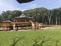
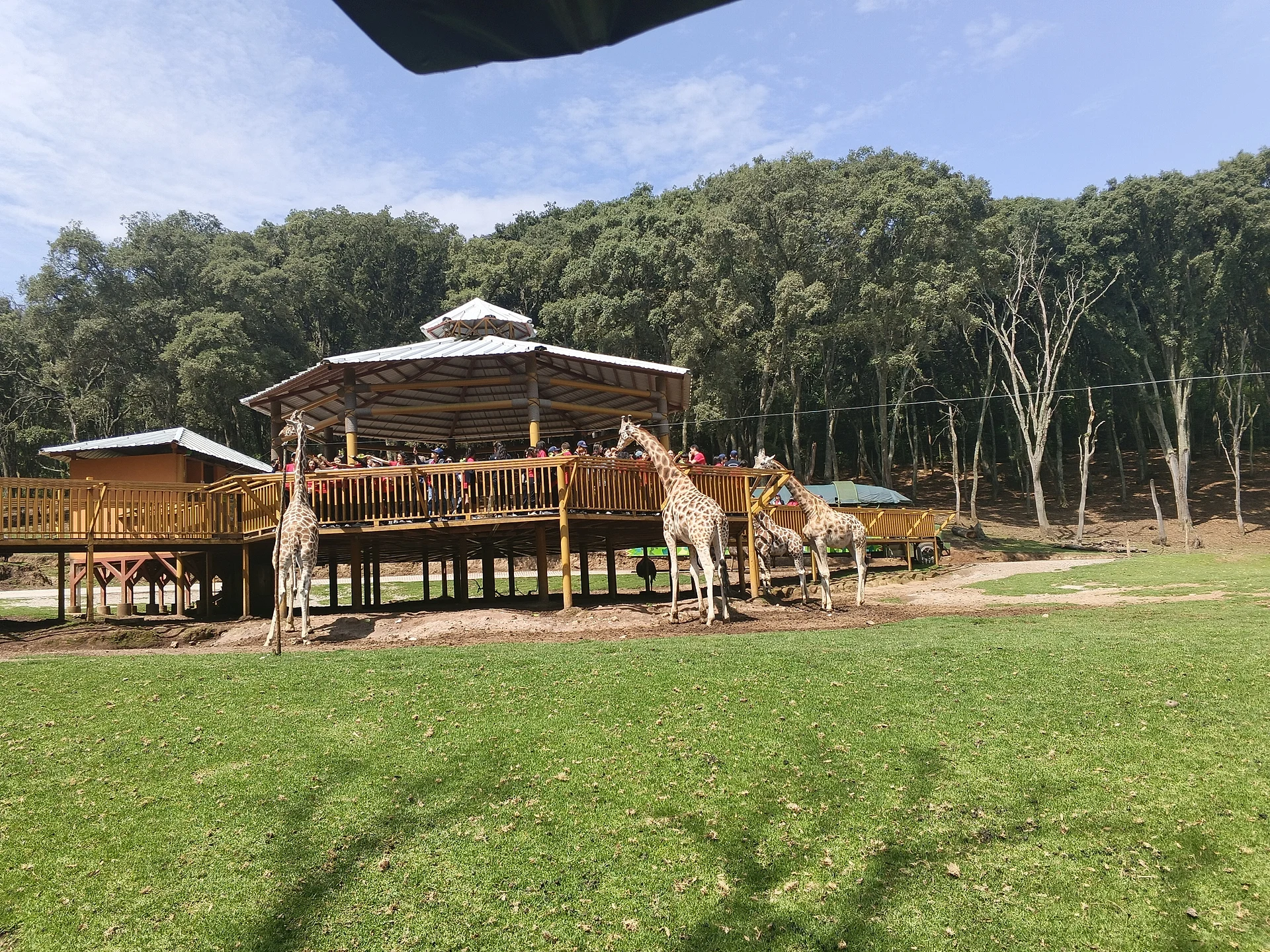
A drive-through wildlife park in Chapa de Mota with animals from several continents, boat rides and a zip line.

Neighbouring municipalities
Villa del Carbón · 5 Jocotitlán · 3 Jiquipilco · 3 Acambay de Ruíz Castañeda · 4 Ixtlahuaca · 3 Huehuetoca · 4 Aculco · 3 Cuautitlán Izcalli · 3
More of Estado de México
Every place in Estado de México → Waterfalls in Estado de México · 3 Ruins in Estado de México · 11 Lakes and Lagoons in Estado de México · 7 Nature Parks in Estado de México · 13 Mountains in Estado de México · 8