4 places with their own page in the municipality of Ixtapaluca, in the state of Estado de México.
Map of Ixtapaluca
Places to visit in Ixtapaluca
Cities · 1 Villages · 1 Archaeological sites · 1 Mountains · 1
Cities
-
Ixtapaluca · City
A State of Mexico seat on the México–Puebla highway with a 1531 parish, a spring national fair and the Acozac and Tlapacoya sites close by.

Villages
-
San Francisco Acuautla · Village
A pueblo originario in Ixtapaluca, "forest among the water", now home to nearly 33,000; Franciscan parish and a 4 October procession.

Archaeological sites
-
Acozac · Archaeological site
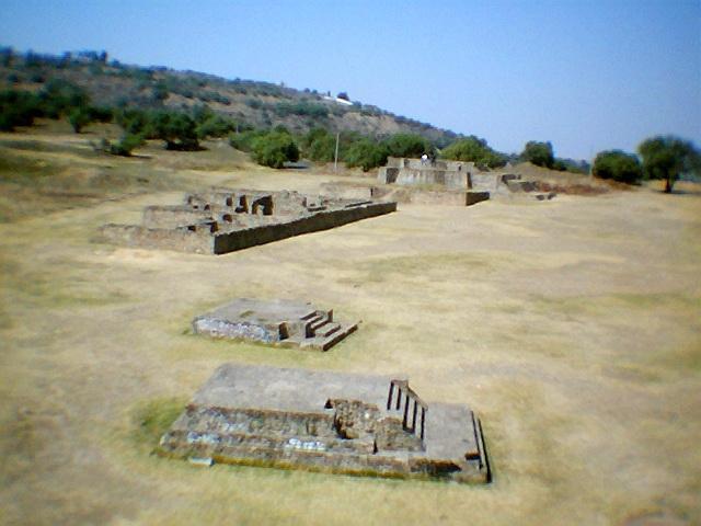
Acolhua ruins in Ixtapaluca with a round temple to Ehécatl and a great platform facing the volcanoes; free entry.

Mountains
-
Papayo · Mountain
A lava dome of about 3,600 m, the youngest and southernmost peak of the Sierra de Río Frío, between Telapón and Iztaccíhuatl.

Neighbouring municipalities
Chalco · 3 Texcoco · 10 Amecameca · 4 Acolman · 3 Tlalnepantla de Baz · 5 Tecámac · 3 Tultitlán · 5 Huixquilucan · 5
More of Estado de México
Every place in Estado de México → Waterfalls in Estado de México · 3 Ruins in Estado de México · 11 Lakes and Lagoons in Estado de México · 7 Nature Parks in Estado de México · 13 Mountains in Estado de México · 8