4 places with their own page in the municipality of Amecameca, in the state of Estado de México.
Map of Amecameca
Places to visit in Amecameca
Towns · 1 Villages · 2 Nature reserves · 1
Towns
-
Amecameca de Juárez · Town
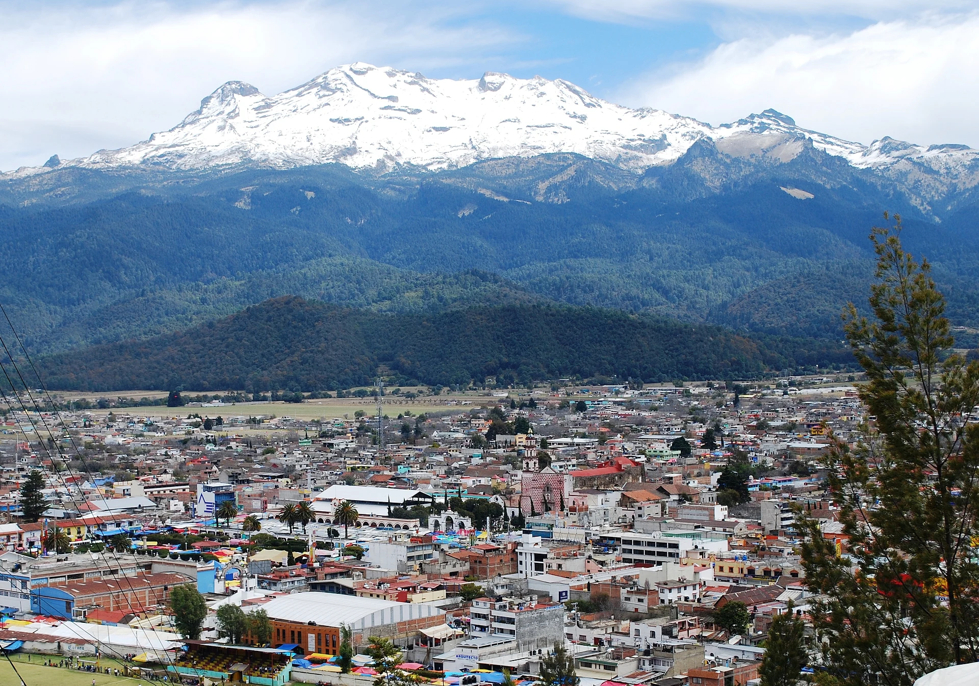
A Pueblo con Encanto at the foot of Iztaccíhuatl and Popocatépetl: the Sacromonte shrine, a Dominican parish, a big market and the road to Paso de Cortés.

Villages
-
San Francisco Zentlalpan · Village
Village 3 km north of Amecameca, "on the land of corn cobs"; a chapel to San Francisco de Asís and a 4 October fiesta with brass bands. -
San Diego Huehuecalco · Village
Village south of Amecameca at 2,511 m, with a chapel to San Diego and a 13 to 16 November fiesta of rodeo and the dance of the Moors.


Nature reserves
-
Parque Nacional Sacromonte · Nature reserve
A 45-hectare sacred hill above Amecameca, a national park since 1939: the black Christ's cave shrine, a hilltop chapel and views of both volcanoes.

Neighbouring municipalities
Chalco · 3 Ixtapaluca · 4 Texcoco · 10 Acolman · 3 Tlalnepantla de Baz · 5 Huixquilucan · 5 Tecámac · 3 Tultitlán · 5
More of Estado de México
Every place in Estado de México → Waterfalls in Estado de México · 3 Ruins in Estado de México · 11 Lakes and Lagoons in Estado de México · 7 Nature Parks in Estado de México · 13 Mountains in Estado de México · 8