Nature reserve Amecameca, Estado de México Municipality of Amecameca Valley of Mexico Volcano Route
A 45-hectare sacred hill above Amecameca, a national park since 1939: the black Christ's cave shrine, a hilltop chapel and views of both volcanoes.
From Cuautla: 45 min by car (45 km by road) How to get there ↓
Near here
See everything nearby ↓


Plan your visit to Parque Nacional Sacromonte
Where to stay near Parque Nacional Sacromonte
Compare hotels, posadas and guest houses in Parque Nacional Sacromonte.
Tours to Parque Nacional Sacromonte
Day trips and guided outings from Tlayacapan often include Parque Nacional Sacromonte; with a local guide you can get there without a car.
 Tours from Atlixco
Atlixco Volcano Views Popocatépetl Tour Forest Route
From US$108
How to get to Parque Nacional Sacromonte
- From Cuautla: about 45 min by road (~45 km)
- Nearest airport: Mexico City (MEX), 1 h 33 min by car to Tlayacapan
Links open a partner site. We may earn a commission if you book, at no cost to you.
Tours from Atlixco, near Parque Nacional Sacromonte
Tours, prices and ratings from Viator, checked weekly. We may earn a commission if you book.
About Parque Nacional Sacromonte
Amecameca's Sacromonte is a wooded hill on the west side of town whose older name is Amaqueme. It rises to roughly 2,570 m and was declared a national park on 29 August 1939; at 45 hectares, according to the federal protected-areas agency CONANP, it is one of the smallest in Mexico. CONABIO lists more than 250 plant and animal species on it, eight of them in a federal risk category, and CONANP names urban growth and careless visitors as the main pressures on the park.
The hill was holy ground long before the Spanish arrived. Totolimpaneca Chichimecs were worshipping Tezcatlipoca here around 1268, and farmers came to ask for rain for their unirrigated maize fields. After the conquest, Fray Martín de Valencia, leader of the first twelve Franciscans sent to New Spain, used a cave on the hill as a hermit's retreat; he died in 1534. In 1584 people from Amecameca handed the Dominicans a hair shirt, a rough tunic and two chasubles he had left in that cave. The friars set up an altar there with a figure of the dead Christ and the relics at its feet, and because the hill stood beside a busy road, it soon became one of the main pilgrimage centres of the viceroyalty.
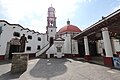
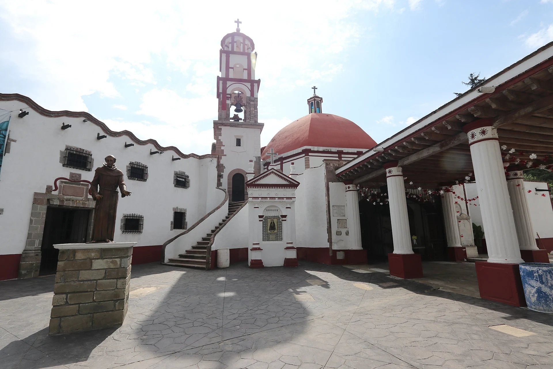
The sanctuary of the Señor del Sacromonte is now counted with Chalma, Los Remedios and Tepeyac among the four most important shrines of central Mexico. Its only image is a black Christ of the Holy Burial, made of cane paste, which lies in a cave inside the main church. Higher up, on the summit, the small Guadalupita chapel has an old cemetery in its forecourt. The earthquake of 19 September 2017 brought down the sanctuary's tower and damaged the stairway; townspeople organised the repairs themselves, and the church reopened in February 2018, just before Ash Wednesday. That is the big day: from before dawn thousands of pilgrims climb up to receive ashes, with dancers, rockets and masses, and at night the Christ is carried down in procession to the Asunción parish church. Most of the year the hill is quiet, and the top looks out over the town to Iztaccíhuatl and Popocatépetl.
How to get to Parque Nacional Sacromonte
Drive from Cuautla: 45 min, 45 km
The hill is inside Amecameca itself, on the west side of the centre. From the zócalo it is about a 30-minute walk up through the streets and then the stairway; by car you can get close to the sanctuary in about 10 minutes.
To reach Amecameca from Mexico City, take Calzada Ignacio Zaragoza past Santa Martha Acatitla onto the Mexico–Puebla toll highway (150D) as far as the Chalco turn-off, then follow federal highway 115 (Mexico–Cuautla) to Amecameca. It is about 53 km by road and roughly an hour without traffic; highway 113 through Cocotitlán and Tenango del Aire is an alternative, about an hour and a half.
By bus, Volcanes runs from the TAPO terminal (Metro San Lázaro) about every 20 minutes, taking around 1 h 10 min. Long-distance buses stop a few blocks north-west of the zócalo, and colectivos on the north side of the square. Tlayacapan, the nearest Pueblo Mágico, is in Morelos, about 30 km south in a straight line, towards Cuautla.
Directions to Parque Nacional Sacromonte on Google Maps
Distances are in a straight line; the road is usually longer.
Links open a partner site. We may earn a commission if you book, at no cost to you.
From the nearest cities to Parque Nacional Sacromonte
- Cuautla · 45 km by road, 45 min
- Mexico City · 60 km by road, 1 h
- San Martín Texmelucan · 85 km by road, 1 h 20 min
Drive times by road from OpenStreetMap, without traffic or stops. Times marked ~ are estimated from the straight-line distance.
Before you go to Parque Nacional Sacromonte: hours, prices and tips
- Time needed
- The walk up from town takes about 30 minutes; by car, about 10. Food & Pleasure · checked Oct 2026
- Best time of day
- Outside the festivals the hill gets few visitors, and you may well have the climb to yourself. Wikivoyage · checked Oct 2026
- Best season
- The main feast is Ash Wednesday: from early morning to midnight thousands of pilgrims climb up for ashes, and at night the Christ is carried down to the Asunción parish church, where it stays until the Saturday after Easter week. On the four Saturdays before, the town's guilds go up to decorate the shrine, and seeds are blessed on 2 February. Wikipedia; INAH (Con-temporánea, 2023) · checked Oct 2026
Hours and prices change, especially around holidays. Each fact links to where we checked it.
Visiting Parque Nacional Sacromonte: what to see and do
Climb the stairway and the tree-lined path up to the sanctuary of the Señor del Sacromonte.
Look into the cave inside the church where the black Christ of the Holy Burial lies.
Carry on to the Guadalupita chapel on the summit, with its old cemetery.
Take in the view over Amecameca with Iztaccíhuatl and Popocatépetl behind it.
Come on Ash Wednesday for the pilgrims, the dancers and the night procession down to the parish church.
On the way down, visit the Asunción parish church, where the Christ spends Lent.
Plan your trip
Places to stay in Parque Nacional Sacromonte
Compare hotels, posadas, and rentals in and around Parque Nacional Sacromonte.
Tours & activities
Day trips and guided outings from Tlayacapan often include Parque Nacional Sacromonte; with a local guide you can get there without a car.
Rental cars
Pick up a car at MEX (Mexico City): about 1 h 33 min by road to Tlayacapan, then 29 km more to Parque Nacional Sacromonte, on your own schedule.
Flights
The nearest airport with scheduled flights is Mexico City (MEX), about 1 h 33 min by road from Tlayacapan, the base for Parque Nacional Sacromonte.
Travel insurance
If you plan on hiking at Parque Nacional Sacromonte, check that your policy covers it: some plans leave adventure activities out.
Mobile data
Signal can drop away from Tlayacapan: download a map of the way to Parque Nacional Sacromonte before you set out, or carry an eSIM with data.
Links open a partner site. We may earn a commission if you book, at no cost to you.
When to go to Parque Nacional Sacromonte mild
Parque Nacional Sacromonte shares the climate of Tlayacapan, 29 km away. The best months to visit are January, February, March, and December.
See the month-by-month climate of Tlayacapan
Weather in Parque Nacional Sacromonte now and the next 7 days
Live forecast from Open-Meteo. Chance of rain is the day's highest.
The closest Pueblo Mágico: Tlayacapan

Tlayacapan is the Pueblo Mágico closest to Parque Nacional Sacromonte, with places to stay, food, and more to see.
Also close to
- Tepoztlán · Morelos · 38 km away
- Huejotzingo · Puebla · 39 km away
- Atlixco · Puebla · 44 km away
- Cholula · Puebla · 49 km away
- Tlaltizapán · Morelos · 62 km away
Closest to Parque Nacional Sacromonte
-
Amecameca de Juárez · Town · 1 km away
-
San Francisco Zentlalpan · Village · 2 km away
-
Ayapango de Gabriel Ramos Millán · Town · 3 km away
-
San Diego Huehuecalco · Village · 4 km away
-
San Matías Cuijingo · Village · 9 km away
-
San Rafael · Town · 9 km away
-
Santiago Tepopula · Village · 9 km away
-
Tenango del Aire · Town · 9 km away


Near Parque Nacional Sacromonte


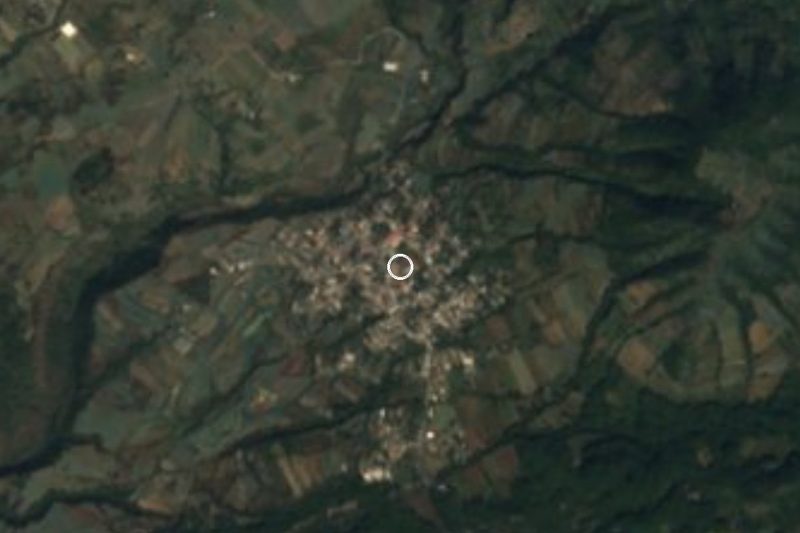
Drive times by road from OpenStreetMap, without traffic. Times marked ~ are estimated from the straight-line distance.
Lists with Parque Nacional Sacromonte
Nature Parks in Estado de México · 13 Nature Parks near Cuautla · 13 Nature Parks near Tepoztlán · 19 Nature Parks near San Martín Texmelucan · 6 Nature Parks near Atlixco · 5 Nature Parks near Mexico City · 16 Nature Parks near Cuernavaca · 18Location from OpenStreetMap. Written by Puebloteca.