
Village Ozumba, Estado de México Volcano Route Monasteries on the slopes of Popocatépetl Northern Morelos
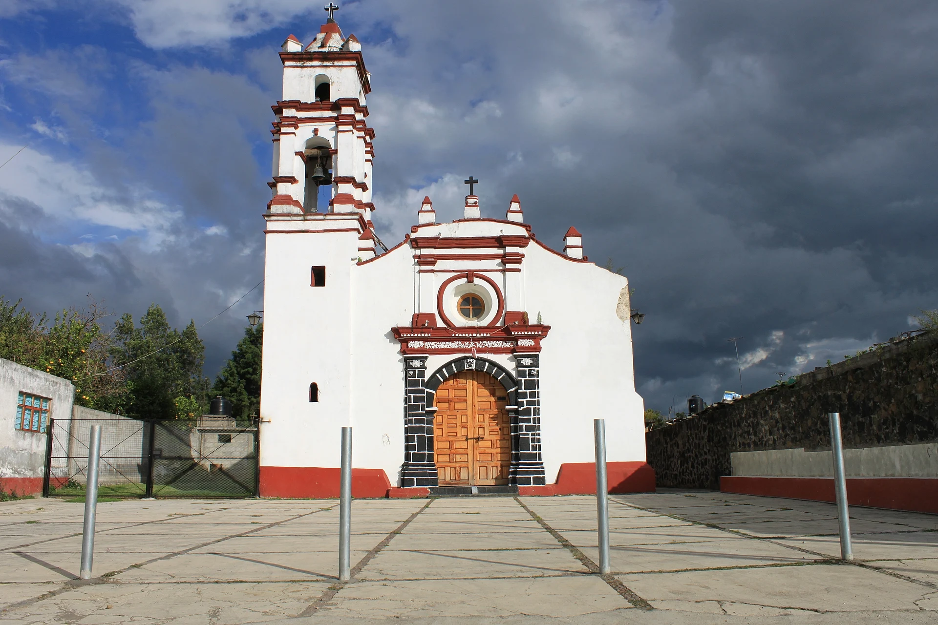
Village in Ozumba with a 16th-century Dominican convent and the parish that holds Sor Juana Inés de la Cruz's baptism record.
From Cuautla: 35 min by car (32 km by road) How to get there ↓
Near here
See everything nearby ↓


Plan your visit to San Vicente Chimalhuacán
Where to stay near San Vicente Chimalhuacán
Compare hotels, posadas and guest houses in San Vicente Chimalhuacán.
Tours to San Vicente Chimalhuacán
Day trips and guided outings from Tlayacapan often include San Vicente Chimalhuacán; with a local guide you can get there without a car.
How to get to San Vicente Chimalhuacán
- From Cuautla: about 35 min by road (~32 km)
- Nearest airport: Mexico City (MEX), 1 h 33 min by car to Tlayacapan
Links open a partner site. We may earn a commission if you book, at no cost to you.
About San Vicente Chimalhuacán
San Vicente Chimalhuacán is a village in the municipality of Ozumba, in the east of the State of Mexico, at about 2,300 m above sea level and 1.8 km northwest of the municipal seat, Ozumba de Alzate. It had 2,931 inhabitants in 2020. Chimalhuacán is Nahuatl, glossed as "place where they have shields"; San Vicente refers to its saint, Saint Vincent Ferrer.
What it is known for is its church. El Universal describes it as a 16th-century building beside a former convent dedicated to San Vicente Ferrer, which it calls the oldest Dominican construction in the State of Mexico. Inside is a baptismal font considered the oldest in Mexico. The baptism record of Sor Juana Inés de la Cruz, born at San Miguel Nepantla in the Chalco region, comes from this Chimalhuacán parish: the document found in 1952 is dated 5 December 1648, though her birth year is still disputed (1648 or 1651).
The 19 September 2017 earthquake fractured the main nave, cracked the interior and damaged the 17th-century altarpieces, which were removed for conservation; the church was closed and Masses moved to a tent on the convent grounds. There is no published information on its current condition, so check whether it is open before you go. The village also has a chapel of San Lorenzo. Ozumba, a short distance away, holds a tianguis on Tuesdays and Fridays.
How to get to San Vicente Chimalhuacán
Drive from Cuautla: 35 min, 32 km
San Vicente Chimalhuacán is 1.8 km northwest of Ozumba de Alzate, on the slopes of Popocatépetl, in the east of the State of Mexico. The practical way is to reach Ozumba first: Rome2Rio lists Volcanes line buses from Mexico City airport every 20 minutes toward the area (no direct service; with transfers about 1 h 47 min in total), and by road it is about 40 miles from that point. From Ozumba a local taxi or mototaxi covers the 1.8 km (not confirmed by a source). Tlayacapan, the nearest pueblo, is about 20 km in a straight line and Cuautla about 26 km; the draft's minutes are estimates. There is no published information on the highway number or timetables; confirm with the Ozumba municipality or the bus line.
Directions to San Vicente Chimalhuacán on Google Maps
Distances are in a straight line; the road is usually longer.
Links open a partner site. We may earn a commission if you book, at no cost to you.
From the nearest cities to San Vicente Chimalhuacán
- Cuautla · 32 km by road, 35 min
- Mexico City · 72 km by road, 1 h 10 min
- Cuernavaca · 78 km by road, 1 h 15 min
Drive times by road from OpenStreetMap, without traffic or stops. Times marked ~ are estimated from the straight-line distance.
Before you go to San Vicente Chimalhuacán: hours, prices and tips
- Hours
- The Ozumba tianguis, 1.8 km away, runs on Tuesdays and Fridays. Wikipedia: Ozumba · checked Oct 2026
Hours and prices change, especially around holidays. Each fact links to where we checked it.
Visiting San Vicente Chimalhuacán: what to see and do
The 16th-century church and former convent of San Vicente Ferrer (check whether it is open after the 2017 earthquake).
The baptismal font, considered the oldest in Mexico.
The chapel of San Lorenzo.
The Ozumba tianguis, Tuesdays and Fridays, 1.8 km away.
Plan your trip
Places to stay in San Vicente Chimalhuacán
Compare hotels, posadas, and rentals in and around San Vicente Chimalhuacán.
Tours & activities
Day trips and guided outings from Tlayacapan often include San Vicente Chimalhuacán; with a local guide you can get there without a car.
Rental cars
Pick up a car at MEX (Mexico City): about 1 h 33 min by road to Tlayacapan, then 20 km more to San Vicente Chimalhuacán, on your own schedule.
Flights
The nearest airport with scheduled flights is Mexico City (MEX), about 1 h 33 min by road from Tlayacapan, the base for San Vicente Chimalhuacán.
Mobile data
Signal can drop away from Tlayacapan: download a map of the way to San Vicente Chimalhuacán before you set out, or carry an eSIM with data.
Links open a partner site. We may earn a commission if you book, at no cost to you.
When to go to San Vicente Chimalhuacán mild
San Vicente Chimalhuacán shares the climate of Tlayacapan, 20 km away. The best months to visit are January, February, March, and December.
See the month-by-month climate of Tlayacapan
Weather in San Vicente Chimalhuacán now and the next 7 days
Live forecast from Open-Meteo. Chance of rain is the day's highest.
The closest Pueblo Mágico: Tlayacapan

Tlayacapan is the Pueblo Mágico closest to San Vicente Chimalhuacán, with places to stay, food, and more to see.
Also close to
- Tepoztlán · Morelos · 32 km away
- Atlixco · Puebla · 41 km away
- Huejotzingo · Puebla · 44 km away
- Cholula · Puebla · 52 km away
- Tlaltizapán · Morelos · 52 km away
Closest to San Vicente Chimalhuacán
-
Atlautla de Victoria · Town · 2 km away
-
Ozumba · Town · 2 km away
-
San Diego Huehuecalco · Village · 8 km away
-
San Matías Cuijingo · Village · 8 km away
-
Achichipico · Village · 9 km away
-
Huecahuasco · Village · 10 km away
-
Ayapango de Gabriel Ramos Millán · Town · 11 km away
-
Ocoxaltepec · Village · 11 km away

Near San Vicente Chimalhuacán


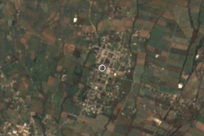
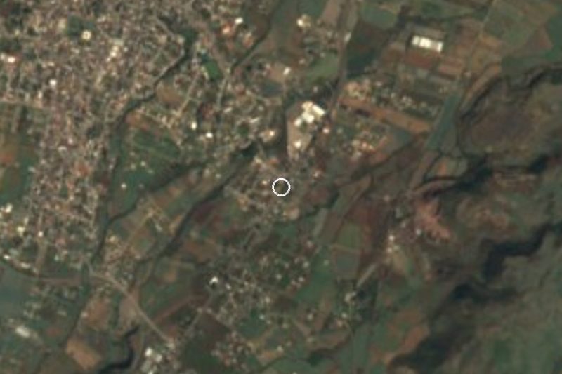




Drive times by road from OpenStreetMap, without traffic. Times marked ~ are estimated from the straight-line distance.
Location from OpenStreetMap. Written by Puebloteca.