Landmark Barrio Mágico Fiestas Indigenous roots Cuautla, Morelos Municipality of Cuautla Monasteries on the slopes of Popocatépetl Northern Morelos
A Nahua community north of Cuautla where Mösiehuali is still spoken and the chincuete still worn; harvest fiesta in October. Barrio Mágico since 2024.
From Cuautla: about 5 min by road (~5 km) How to get there ↓
Near here
See everything nearby ↓
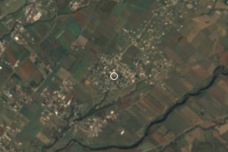
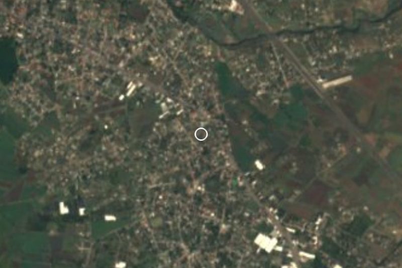
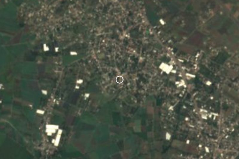
Plan your visit to Tetelcingo
Where to stay near Tetelcingo
Compare hotels, posadas and guest houses in Tetelcingo.
Tours to Tetelcingo
Look for tours of the area around Tlayacapan that stop at Tetelcingo.
How to get to Tetelcingo
- From Cuautla: about 5 min by road (~5 km)
- Nearest airport: Mexico City (MEX), 1 h 33 min by car to Tlayacapan
Links open a partner site. We may earn a commission if you book, at no cost to you.
About Tetelcingo
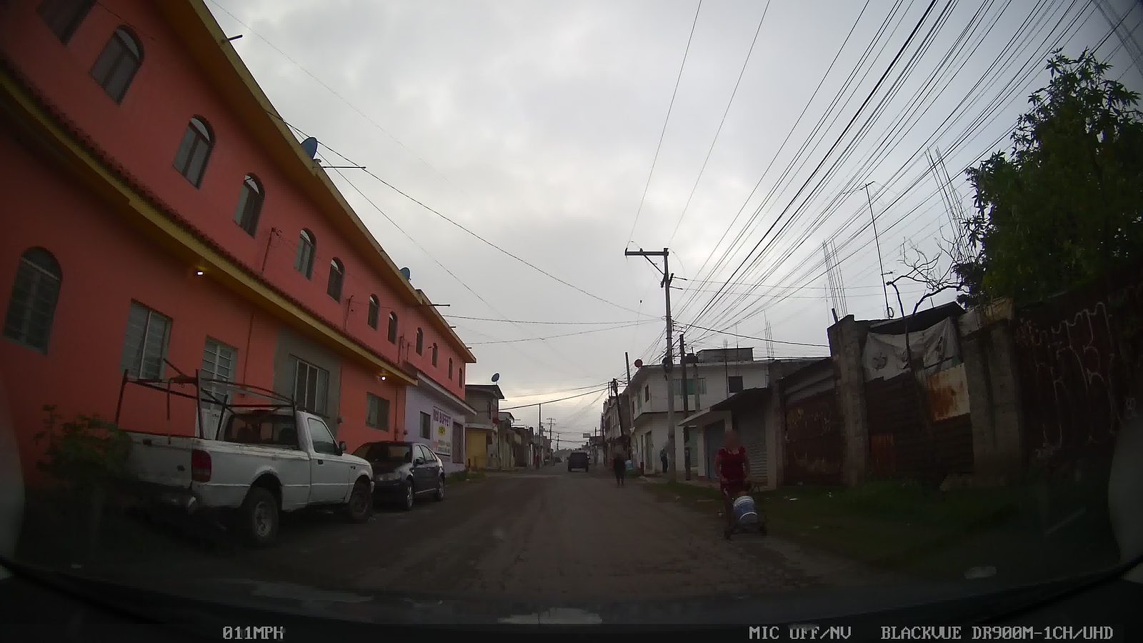
Tetelcingo is a Nahua community about 6 km north of central Cuautla, now almost absorbed by the city's growth. In June 2024 Mexico's federal tourism ministry named it a Barrio Mágico at the third Tianguis Internacional de Pueblos Mágicos, together with eleven other neighbourhoods around the country.
The name is usually translated from Nahuatl as "in the little stony place". What sets it apart is its language: people here speak Mösiehuali, the town's own variety of Nahuatl, still used by many residents although Cuautla's spread has left it seriously endangered. Linguists have long been drawn here. In 1935 President Lázaro Cárdenas met William Cameron Townsend, founder of the Summer Institute of Linguistics, in Tetelcingo, and in 1954 the linguist Richard Pittman published a grammar of this variety.
Many older women still wear the town's dress: the chincuete, a wrapped skirt, with a navy wool huipil so dark it looks black, tied with backstrap-woven sashes, the main one red. Only a handful of sash weavers remain, and most garments are now made from factory cloth. In the yards you can still see coscomates, traditional granaries that keep the maize away from rats and squirrels.
The best-known celebration is the harvest fiesta in late October (25 to 27 October in 2025), with dances by the mayordomías, processions, offerings of produce and communal rituals that blend Indigenous roots with Catholic faith; the state government uses it to honour farming families. Some years ago the Morelos congress voted to turn Tetelcingo into an Indigenous municipality, along with Xoxocotla, Coatetelco and Hueyapan, but Cuautla challenged the decision and the community still belongs to Cuautla.
How to get to Tetelcingo
Tetelcingo lies about 6 km north of Cuautla's zócalo. From Mexico City, Pullman de Morelos buses leave the Terminal del Sur (Taxqueña) for Cuautla every hour and take roughly an hour and a half to two hours, and Volcanes runs from the TAPO terminal about every 30 minutes on a longer trip of 2.5 to 3 hours. By car it is about 100 km: the Mexico City–Cuernavaca highway and then the toll road to Oaxtepec and Cuautla (115D), or federal highway 115 through Amecameca on the east side. In Cuautla, Pullman de Morelos, OCC/ADO and Estrella Blanca each have their own terminal in the centre; from there a taxi or ride-hailing car is the easiest way on to Tetelcingo, since the local combis publish no routes or timetables. Arsonists attacked several public-transport vans in Cuautla in October 2026, so ask in town before boarding a combi.
Directions to Tetelcingo on Google Maps
Distances are in a straight line; the road is usually longer.
Links open a partner site. We may earn a commission if you book, at no cost to you.
From the nearest cities to Tetelcingo
- Cuautla · about 5 km by road, ~5 min
- Cuernavaca · about 40 km by road, ~35 min
- Atlixco · about 70 km by road, ~1 h
Drive times by road from OpenStreetMap, without traffic or stops. Times marked ~ are estimated from the straight-line distance.
Before you go to Tetelcingo: hours, prices and tips
- Best season
- The harvest fiesta takes place in late October; in 2025 it ran from 25 to 27 October, with dances, processions and offerings of produce. Gobierno de Morelos · checked Oct 2026
Hours and prices change, especially around holidays. Each fact links to where we checked it.
Visiting Tetelcingo: what to see and do
Hear Mösiehuali, Tetelcingo's own Nahuatl, spoken in the streets.
The dress of the older women: chincuete skirt, dark wool huipil and red sash.
The coscomates, maize granaries still standing in people's yards.
The harvest fiesta in late October, with mayordomía dances and processions.
Plan your trip
Places to stay in Tetelcingo
Compare hotels, posadas, and rentals in and around Tetelcingo.
Tours & activities
Look for tours of the area around Tlayacapan that stop at Tetelcingo.
Rental cars
Pick up a car at MEX (Mexico City): about 1 h 33 min by road to Tlayacapan, then 11 km more to Tetelcingo, on your own schedule.
Flights
The nearest airport with scheduled flights is Mexico City (MEX), about 1 h 33 min by road from Tlayacapan, the base for Tetelcingo.
Mobile data
Signal can drop away from Tlayacapan: download a map of the way to Tetelcingo before you set out, or carry an eSIM with data.
Links open a partner site. We may earn a commission if you book, at no cost to you.
When to go to Tetelcingo mild
Tetelcingo shares the climate of Tlayacapan, 11 km away. The best months to visit are January, February, March, and December.
See the month-by-month climate of Tlayacapan
Weather in Tetelcingo now and the next 7 days
Live forecast from Open-Meteo. Chance of rain is the day's highest.
The closest Pueblo Mágico: Tlayacapan

Tlayacapan is the Pueblo Mágico closest to Tetelcingo, with places to stay, food, and more to see.
Also close to
- Tepoztlán · Morelos · 22 km away
- Tlaltizapán · Morelos · 30 km away
- Xochitepec · Morelos · 40 km away
- Atlixco · Puebla · 53 km away
- Malinalco · Estado de México · 60 km away
Closest to Tetelcingo
-
Diecinueve de Febrero de Mil Ochocientos Doce · Village · 3 km away
-
Las Minas · Village · 3 km away
-
Pazulco · Village · 3 km away
-
Yecapixteca · Village · 3 km away
-
Narciso Mendoza · Village · 4 km away
-
Peña Flores · Village · 4 km away
-
San Francisco · Village · 4 km away
-
Balneario Ejidal El Bosque · Hot springs · 5 km away
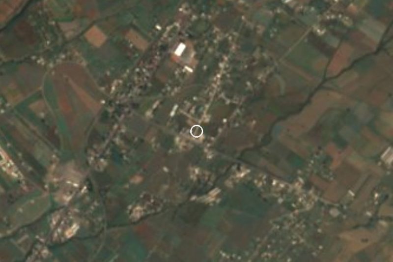
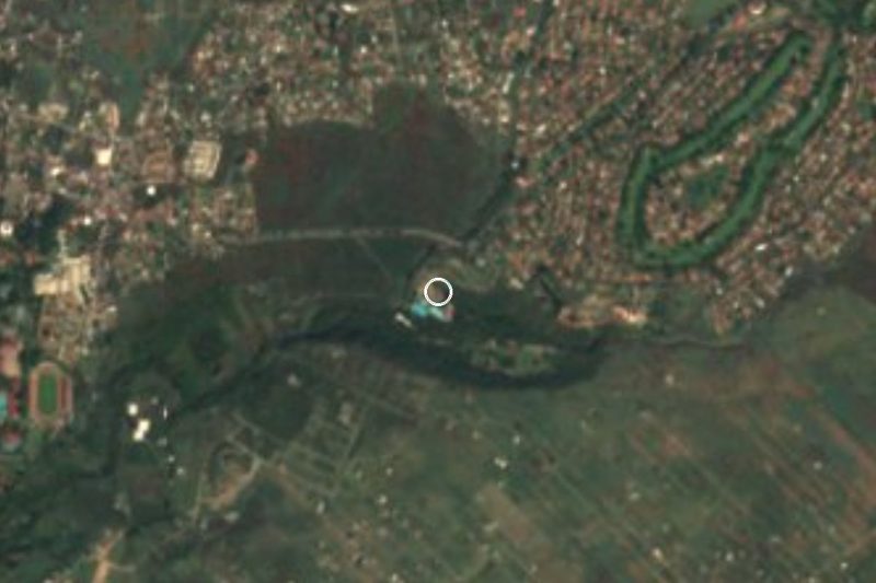
Near Tetelcingo


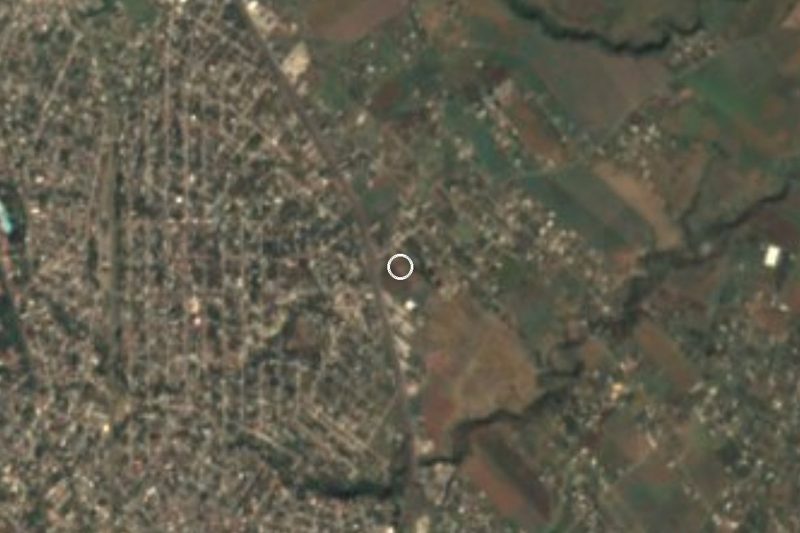



Drive times by road from OpenStreetMap, without traffic. Times marked ~ are estimated from the straight-line distance.
Location from OpenStreetMap. Written by Puebloteca.