

City Cuautla, Morelos Municipality of Cuautla Monasteries on the slopes of Popocatépetl Northern Morelos
Morelos's second city, at 1,294 m: Morelos held out here in the 1812 siege, and Emiliano Zapata's remains rest in its Plaza Revolución del Sur.
From Cuernavaca: 45 min by car (53 km by road) How to get there ↓
Near here






Plan your visit to Cuautla
Where to stay near Cuautla
Compare hotels, posadas and guest houses in Cuautla.
Tours to Cuautla
Day trips and guided outings from Tlayacapan often include Cuautla; with a local guide you can get there without a car.
 Tours from Cuernavaca
3hr Cooking Class in Cuernavaca 8 Recipes and Bottomless Drinks
From US$59
How to get to Cuautla
- From Cuernavaca: about 45 min by road (~53 km)
- Nearest airport: Mexico City (MEX), 1 h 33 min by car to Tlayacapan
Links open a partner site. We may earn a commission if you book, at no cost to you.
Tours from Cuernavaca, near Cuautla


Tours, prices and ratings from Viator, checked weekly. We may earn a commission if you book.
About Cuautla
Cuautla is the second city of Morelos after Cuernavaca: the 2020 census counted 157,336 people in the city and 187,118 in the municipality, and the metropolitan area has more than 480,000. It sits at 1,294 m in the warm lowlands of eastern Morelos, about 104 km south of Mexico City. The climate is hot and semi-humid, averaging around 21 °C over the year, with summer rains and April usually the hottest month. Its official name is Cuautla de Morelos.
The town earned its place in Mexican history in 1812. José María Morelos had arrived in December 1811, and on 19 February the royalist general Félix María Calleja laid siege to it. For 72 days Morelos, with Leonardo Bravo, Mariano Matamoros and Hermenegildo Galeana, held out against hunger and bombardment, until on 2 May the insurgent army broke through the lines and escaped. The siege produced the legend of Narciso Mendoza, the Niño Artillero, a 12-year-old credited with stopping a royalist assault by firing a cannon; the city's theatre, opened in 1952, carries his name.
A century later Cuautla was Zapata country. Emiliano Zapata was born in nearby Anenecuilco, and after he was killed at the Chinameca hacienda in April 1919 his body was brought to Cuautla and buried in the municipal cemetery. His remains now lie in the Plaza Revolución del Sur, at the foot of a large statue of him, and every 10 April since 1921 the city has held a ceremony in his memory.
The railway is the other thread in Cuautla's story. The station opened on 18 June 1881 beside the Franciscan convent of San Diego, built between 1560 and 1580, and for decades the narrow-gauge Interoceanic line carried sugar cane out of the valley's mills; the last regular service ran on 11 October 1973. The old station is now a museum that keeps steam locomotive No. 279, which still pulls an occasional tourist train.
For many visitors from Mexico City, Cuautla means spring-fed pools. Agua Hedionda, the 'stinking water', is named for the smell of its sulphur spring, which flows at a steady 27 °C, and has a 1952 mural by Olga Costa and José Chávez Morado. Los Limones and El Almeal, the latter fed by spring water from the slopes of Popocatépetl, add more pools, slides and picnic grounds.
How to get to Cuautla
Drive from Cuernavaca: 45 min, 53 km
Cuautla is roughly 100 km from Mexico City. By car the usual route is the Mexico City-Cuernavaca toll road (Autopista del Sol, 95D) and then the toll road towards Oaxtepec and Cuautla (115D); allow 1 h 30 min to 2 h 40 min depending on traffic. The other way in, from the east, is Federal Highway 115 through Amecameca. By bus, Pullman de Morelos runs hourly from the Terminal del Sur (Taxqueña) and takes about 90 minutes, for roughly 120 to 220 pesos depending on time and class. From TAPO, on the east side of the capital, Volcanes buses leave about every 30 minutes, on a slower ride of about 2 h 30 min to 3 h. Cuautla has no single bus station: Pullman de Morelos, OCC/ADO and Estrella Blanca each have their own terminal within a few blocks of each other in the centre, and local microbuses and combis fan out from there to the towns of eastern Morelos. Cuernavaca is to the west on Federal Highway 160, and Tlayacapan, the nearest Pueblo Mágico, is about 15 km away in a straight line.
Directions to Cuautla on Google Maps
Distances are in a straight line; the road is usually longer.
Links open a partner site. We may earn a commission if you book, at no cost to you.
From the nearest cities to Cuautla
- Cuernavaca · 53 km by road, 45 min
- Atlixco · 77 km by road, 1 h
- Mexico City · 108 km by road, 1 h 35 min
Drive times by road from OpenStreetMap, without traffic or stops. Times marked ~ are estimated from the straight-line distance.
What to see in Cuautla 8
Sights with their own page, closest to the centre first.
Landmarks and museums
-
Antigua estación del ferrocarril de Cuautla · Landmark · 2 km from the centre
Cuautla's 1881 railway station, now the Museo Vivencia Ferrocarril 279, home to a 1921 Baldwin steam engine that can still run. -
Estadio Isidro Gil Tapia · Landmark · 2 km from the centre
Cuautla's football stadium, home of the now-dissolved C.D. Cuautla, a club that played four top-flight seasons in the 1950s. -
Museo del Oriente de Morelos "Casa de Morelos" · Landmark · 2 km from the centre
The 18th-century house where José María Morelos held out in the 1812 siege of Cuautla; an INAH museum with eight rooms on Morelos and Zapata. -
Parroquia de Santiago Apóstol de Cuautla · Landmark · 2 km from the centre
Cuautla's main parish church, a former Dominican priory finished in 1606, with a two-towered neoclassical front facing the main square. -
Templo y exconvento de San Diego · Landmark · 2 km from the centre
A 1640 Franciscan church in central Cuautla: a stronghold in the 1812 siege, later a hotel, with the 1881 railway station built on its orchard. -
Tetelcingo · Landmark · 5 km from the centre
A Nahua community north of Cuautla where Mösiehuali is still spoken and the chincuete still worn; harvest fiesta in October. Barrio Mágico since 2024.


Hot springs
-
Balneario Agua Hedionda · Hot springs · 2 km from the centre
A classic sulfur-spring spa on the edge of Cuautla, with big lukewarm pools fed by the spring. -
Balneario Los Limones · Hot springs · 2 km from the centre
Family balneario in the middle of Cuautla, on calle Centinela, with pools, a splash pool, kids' slides, courts and a camping area.
Map of Cuautla
Neighbourhoods and villages of Cuautla
Part of Cuautla or just outside it, closest first.
-
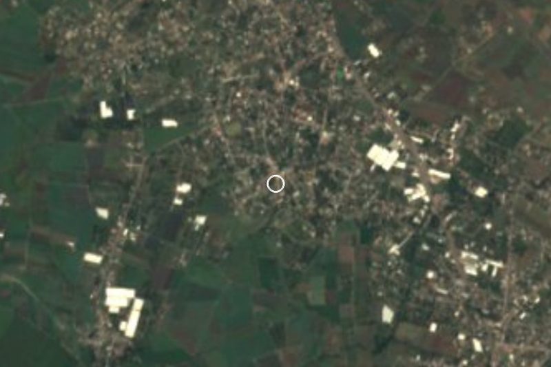
Calderón · Village · 5 km from the centre
Cuautla locality 9 km from downtown, below Cerro de Calderón, with an aqueduct and a former station catalogued as monuments. -
Peña Flores · Village · 5 km from the centre
Locality of 4,448 people (2020) just north of Cuautla, also called Palo Verde, at 1,336 m above sea level. -
Puxtla · Village · 5 km from the centre
Village in Cuautla municipality at about 1,267 m, with 1,901 people in 2020; its Nahuatl name roughly means "place of soft things". -
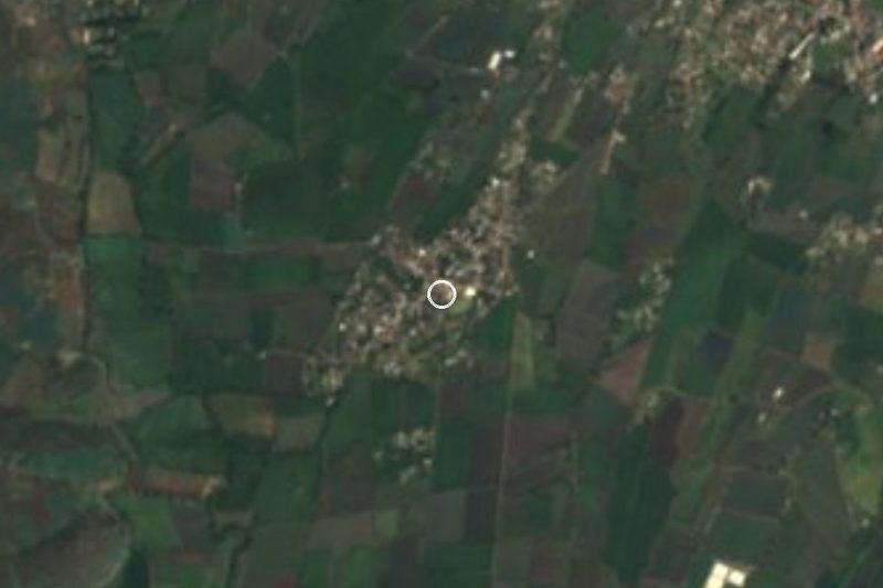
Diecinueve de Febrero de Mil Ochocientos Doce · Village · 6 km from the centre
Colony north of Cuautla named for the day the 1812 siege began; 1,149 residents in 2020, next to Cocoyoc and Tierra Larga. -
Exhacienda el Hospital · Village · 6 km from the centre
Village in Cuautla beside a former sugar hacienda: a brick chimney, a chapel and a 1,500 m aqueduct survive. -
Narciso Mendoza · Village · 6 km from the centre
Cuautla locality at 1,342 m north of the city, named for the Boy Artilleryman of the 1812 siege; close to 2,000 residents. -
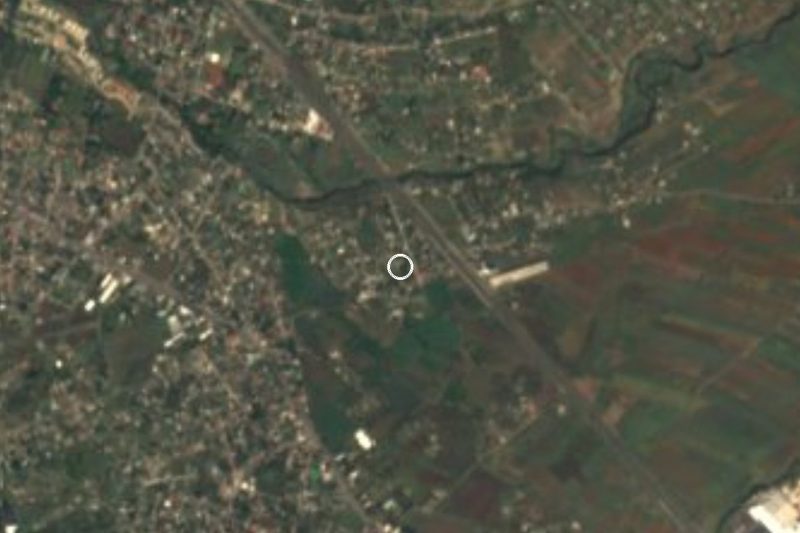
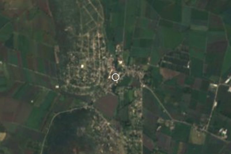
Anenecuilco · Town · 7 km from the centre
Emiliano Zapata's birthplace, with the remains of his family home kept as a small museum.


Day trips and tours from Cuautla
The closest Pueblos Mágicos and places to visit, with the drive from Cuautla and tours that leave from it.
Popular day trips from Cuautla
Tours, prices and ratings from Viator, checked weekly. We may earn a commission if you book.



All 40 Pueblos Mágicos within a weekend of Cuautla →
Times marked ~ are estimated from the distance. Links open a partner site. We may earn a commission if you book, at no cost to you.
Before you go: getting to and around Cuautla
- The nearest airport is Toluca (TLC).
- The best months to go are January, February, March, and December.
- 8 of the places on this page are more than 3 km from the centre: take a taxi, a ride-hailing app or a local bus.
- For day trips a rental car gives the most freedom; the tours above leave from Cuautla.
Before you go to Cuautla: hours, prices and tips
- Best season
- Every 10 April, the anniversary of Emiliano Zapata's death, the city holds a ceremony in his honour, a tradition kept since 1921. Wikipedia (es) · checked Oct 2026
Hours and prices change, especially around holidays. Each fact links to where we checked it.
Visiting Cuautla: what to see and do
Visit the Plaza Revolución del Sur, where Emiliano Zapata's remains lie at the foot of his statue.
See the 1881 railway station and steam locomotive No. 279, next to the former convent of San Diego.
Step into the Museo Histórico del Oriente de Morelos (Casa de Morelos), on the 1812 siege and on Zapata.
Look in on the church of Santiago Apóstol, a former Dominican convent, and the Señor del Pueblo sanctuary.
Soak in the sulphur spring at Agua Hedionda, a steady 27 °C all year.
Spend a day at Los Limones or El Almeal, spring-fed pool parks with slides and lawns.
Follow the Zapata trail to Anenecuilco, his birthplace, a short ride from town.
Plan your trip
Places to stay in Cuautla
Compare hotels, posadas, and rentals in and around Cuautla.
Tours & activities
Day trips and guided outings from Tlayacapan often include Cuautla; with a local guide you can get there without a car.
Rental cars
Pick up a car at MEX (Mexico City): about 1 h 33 min by road to Tlayacapan, then 15 km more to Cuautla, on your own schedule.
Flights
The nearest airport with scheduled flights is Mexico City (MEX), about 1 h 33 min by road from Tlayacapan, the base for Cuautla.
Mobile data
Signal can drop away from Tlayacapan: download a map of the way to Cuautla before you set out, or carry an eSIM with data.
Links open a partner site. We may earn a commission if you book, at no cost to you.
When to go to Cuautla mild
Cuautla shares the climate of Tlayacapan, 15 km away. The best months to visit are January, February, March, and December.
See the month-by-month climate of Tlayacapan
Weather in Cuautla now and the next 7 days
Live forecast from Open-Meteo. Chance of rain is the day's highest.
The closest Pueblo Mágico: Tlayacapan

Tlayacapan is the Pueblo Mágico closest to Cuautla, with places to stay, food, and more to see.
Also close to
- Tepoztlán · Morelos · 24 km away
- Tlaltizapán · Morelos · 26 km away
- Xochitepec · Morelos · 39 km away
- Atlixco · Puebla · 55 km away
- Malinalco · Estado de México · 60 km away
Near Cuautla


Drive times by road from OpenStreetMap, without traffic. Times marked ~ are estimated from the straight-line distance.
Location from OpenStreetMap. Written by Puebloteca.