Village Cuautla, Morelos Municipality of Cuautla Monasteries on the slopes of Popocatépetl Northern Morelos
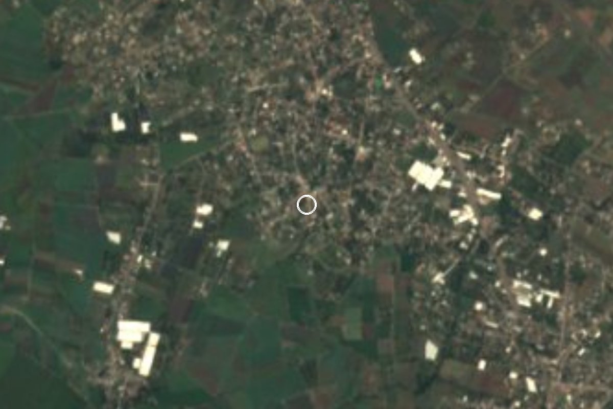
Locality of 4,448 people (2020) just north of Cuautla, also called Palo Verde, at 1,336 m above sea level.
From Cuautla: 10 min by car (6 km by road) How to get there ↓
Near here
See everything nearby ↓


Plan your visit to Peña Flores
Where to stay near Peña Flores
Compare hotels, posadas and guest houses in Peña Flores.
Tours to Peña Flores
Day trips and guided outings from Tlayacapan often include Peña Flores; with a local guide you can get there without a car.
How to get to Peña Flores
- From Cuautla: about 10 min by road (~6 km)
- Nearest airport: Mexico City (MEX), 1 h 33 min by car to Tlayacapan
Links open a partner site. We may earn a commission if you book, at no cost to you.
About Peña Flores
Peña Flores is the second most populous locality in the municipality of Cuautla, after the city itself: the 2020 census counted 4,448 residents (2,247 women and 2,201 men). Earlier censuses give 3,719 in 2005 and 3,867 in 2010, so it grows slowly. Some sources list it as Peña Flores (Palo Verde), and the Morelos health department runs a health center here under that name.
It stands at 1,336 meters above sea level, in the warm semi-arid climate of the area. The average annual temperature is around 21 °C and the rain, concentrated in summer, adds up to about 1,100 mm a year. Nearly all homes have electricity, piped water and a toilet, according to the 2020 census.
Its immediate neighbors are colonias and small settlements within 1.2 km, such as Calderon, Campo Nuevo, Narciso Mendoza and Santa Isabel. The closest hills are El Caracol, 8 km to the west, and Sombrerito, about 12 km to the north.
Residents quoted on Pueblos de America say the best things are the calm, the food and the street market; the problems are transport and street conditions. It is not a destination for monuments: you come through it, for a meal for instance, or use it as a cheap base about 6 km from Cuautla.
How to get to Peña Flores
Drive from Cuautla: 10 min, 6 km
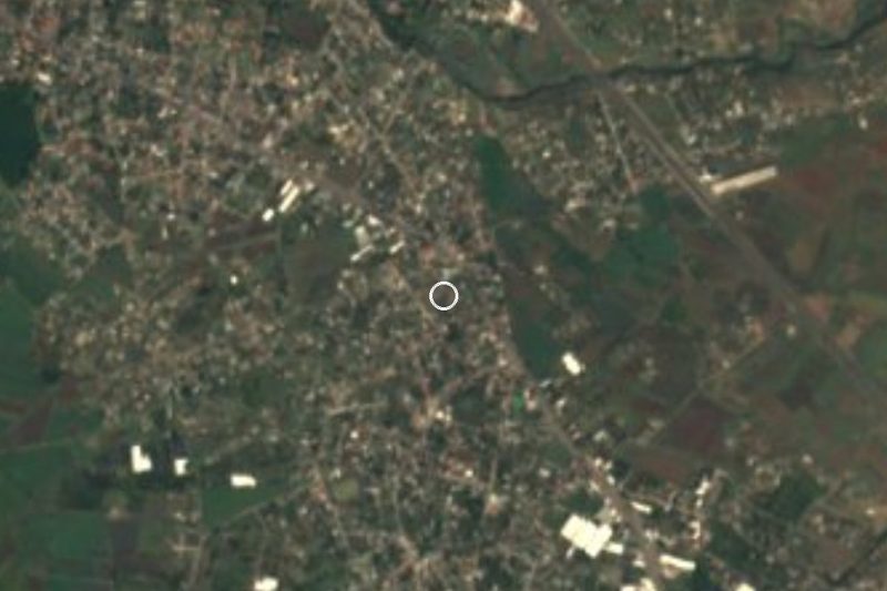
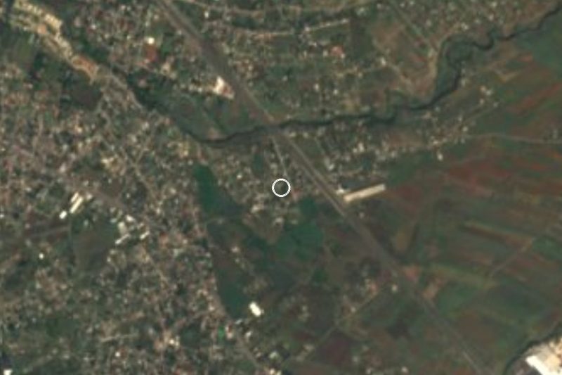
Peña Flores lies north of Cuautla, about 6 km in a straight line (roughly 10 to 15 minutes by car through city streets). From central Cuautla head north and ask for Peña Flores or Palo Verde; We found no source for the road number or route names, so check the map before setting out.
From Mexico City the usual way is to reach Cuautla first by bus (departures from Terminal Sur Taxqueña and TAPO; confirm company and schedule), then take a taxi or local transport. Tlayacapan, the nearest pueblo on the list, is about 10 km in a straight line, roughly 15 to 20 minutes by car. Residents note on Pueblos de America that public transport is limited, so a taxi from Cuautla is the safest option.
Directions to Peña Flores on Google Maps
Distances are in a straight line; the road is usually longer.
Links open a partner site. We may earn a commission if you book, at no cost to you.
From the nearest cities to Peña Flores
- Cuautla · 6 km by road, 10 min
- Cuernavaca · 48 km by road, 45 min
- Atlixco · 82 km by road, 1 h 5 min
Drive times by road from OpenStreetMap, without traffic or stops. Times marked ~ are estimated from the straight-line distance.
Visiting Peña Flores: what to see and do
Walk the streets of the locality and its street market.
Eat at the local food stalls.
Visit the neighboring colonias, such as Santa Isabel and Campo Nuevo, a little over 1 km away.
Look north toward Sombrerito hill.
Continue to Cuautla, about 6 km away, for its city center.
Plan your trip
Places to stay in Peña Flores
Compare hotels, posadas, and rentals in and around Peña Flores.
Tours & activities
Day trips and guided outings from Tlayacapan often include Peña Flores; with a local guide you can get there without a car.
Rental cars
Pick up a car at MEX (Mexico City): about 1 h 33 min by road to Tlayacapan, then 10 km more to Peña Flores, on your own schedule.
Flights
The nearest airport with scheduled flights is Mexico City (MEX), about 1 h 33 min by road from Tlayacapan, the base for Peña Flores.
Mobile data
Signal can drop away from Tlayacapan: download a map of the way to Peña Flores before you set out, or carry an eSIM with data.
Links open a partner site. We may earn a commission if you book, at no cost to you.
When to go to Peña Flores mild
Peña Flores shares the climate of Tlayacapan, 10 km away. The best months to visit are January, February, March, and December.
See the month-by-month climate of Tlayacapan
Weather in Peña Flores now and the next 7 days
Live forecast from Open-Meteo. Chance of rain is the day's highest.
The closest Pueblo Mágico: Tlayacapan

Tlayacapan is the Pueblo Mágico closest to Peña Flores, with places to stay, food, and more to see.
Also close to
- Tepoztlán · Morelos · 19 km away
- Tlaltizapán · Morelos · 27 km away
- Xochitepec · Morelos · 36 km away
- Atlixco · Puebla · 57 km away
- Malinalco · Estado de México · 57 km away
Closest to Peña Flores
-
Calderón · Village · 1 km away
-
Narciso Mendoza · Village · 1 km away
-
Diecinueve de Febrero de Mil Ochocientos Doce · Village · 2 km away
-
Hacienda Cocoyoc · Landmark · 3 km away
-
Tetelcingo · Landmark · 4 km away
-
Balneario Ejidal El Bosque · Hot springs · 5 km away
-
Cuautla · City · 5 km away
-
Estadio Olímpico de Oaxtepec · Landmark · 5 km away

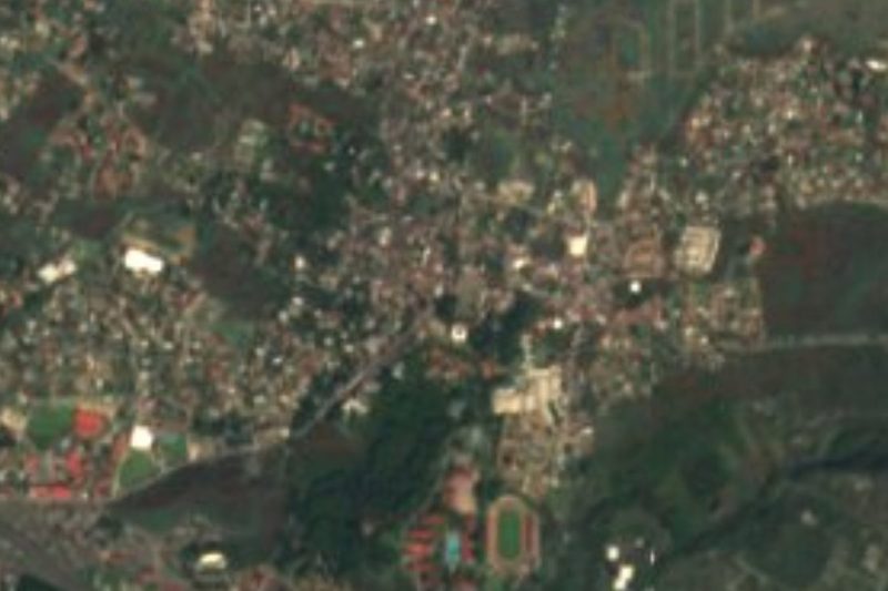
Near Peña Flores




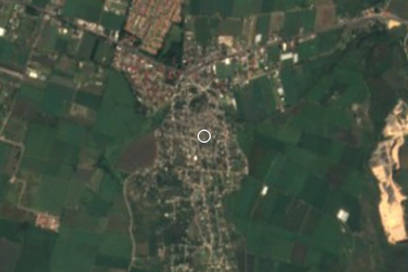



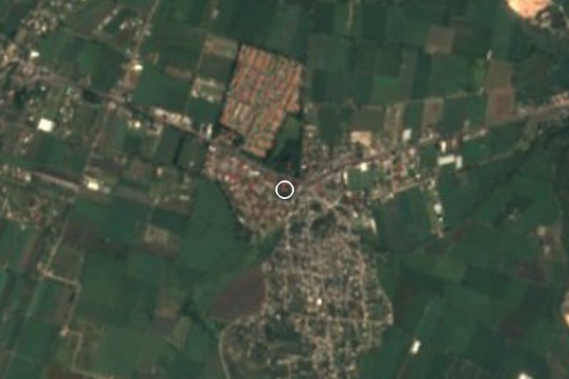
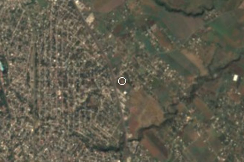
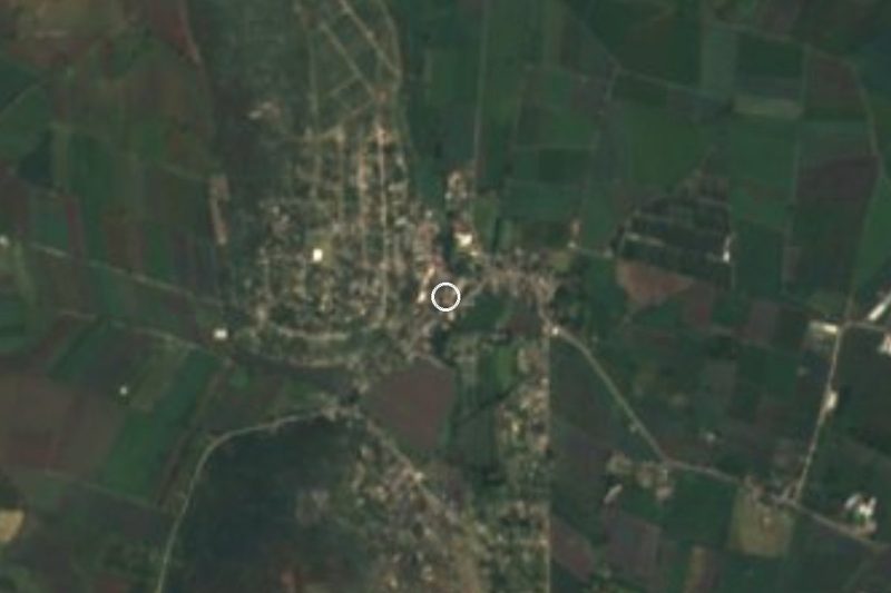
Drive times by road from OpenStreetMap, without traffic. Times marked ~ are estimated from the straight-line distance.
Location from OpenStreetMap. Written by Puebloteca.