Village Cuautla, Morelos Municipality of Cuautla Monasteries on the slopes of Popocatépetl Northern Morelos
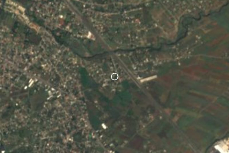
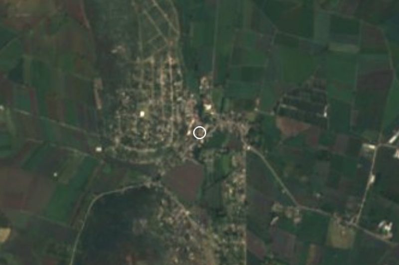
Cuautla locality 9 km from downtown, below Cerro de Calderón, with an aqueduct and a former station catalogued as monuments.
From Cuautla: 10 min by car (6 km by road) How to get there ↓
Near here
See everything nearby ↓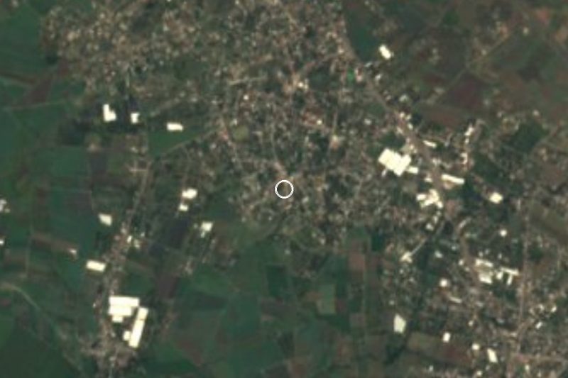


Plan your visit to Calderón
Where to stay near Calderón
Compare hotels, posadas and guest houses in Calderón.
Tours to Calderón
Day trips and guided outings from Tlayacapan often include Calderón; with a local guide you can get there without a car.
 Tours from Cuernavaca
3hr Cooking Class in Cuernavaca 8 Recipes and Bottomless Drinks
From US$59
How to get to Calderón
- From Cuautla: about 10 min by road (~6 km)
- Nearest airport: Mexico City (MEX), 1 h 33 min by car to Tlayacapan
Links open a partner site. We may earn a commission if you book, at no cost to you.
Tours from Cuernavaca, near Calderón


Tours, prices and ratings from Viator, checked weekly. We may earn a commission if you book.
About Calderón
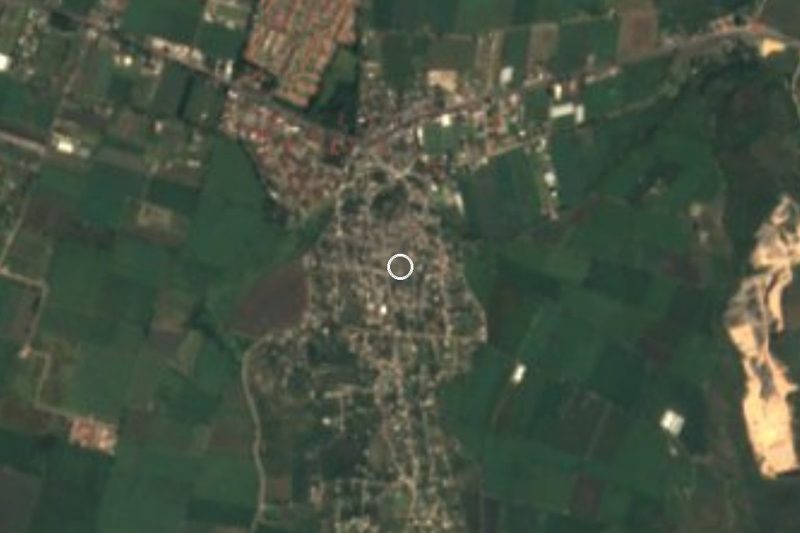
Calderón sits at about 1,317 metres, in the municipality of Cuautla, at the foot of the hill that bears its name. That hill and Cerro del Hospital are the municipality's two main elevations, and the latter separates the Cuautla and Yautepec valleys. It is a small locality: the censuses give 438 residents in 1900, just 49 in 1921, 1,318 in 1970, 751 in 1980 and 1,050 in 2020.
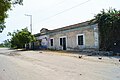
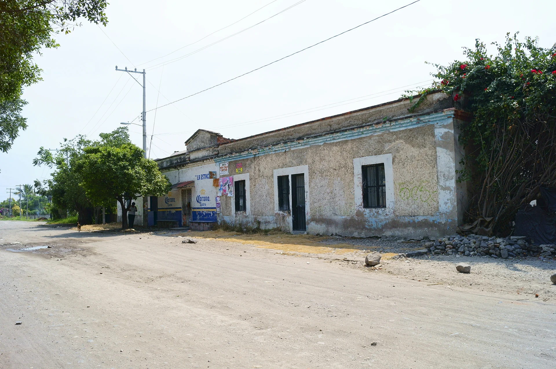
What sets it apart are two structures registered as monuments in Morelos. One is the former Calderón station, which Wikimedia Commons classes as an abandoned station and which is photographed under number 00774 in the Wiki Loves Monuments 2012 list. The other is the Calderón aqueduct, number 08372 in the same list, located in the village itself about 250 metres from the centre; Wikimedia Commons files it among the state's bridges and aqueducts.
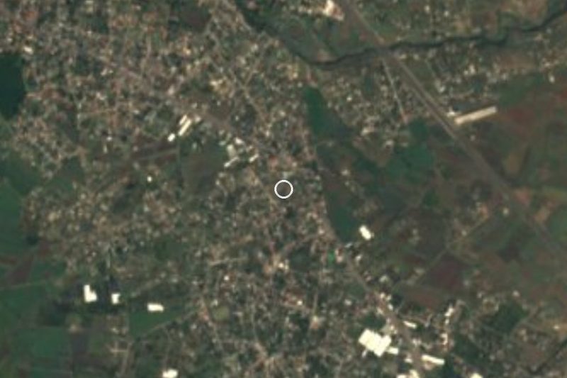
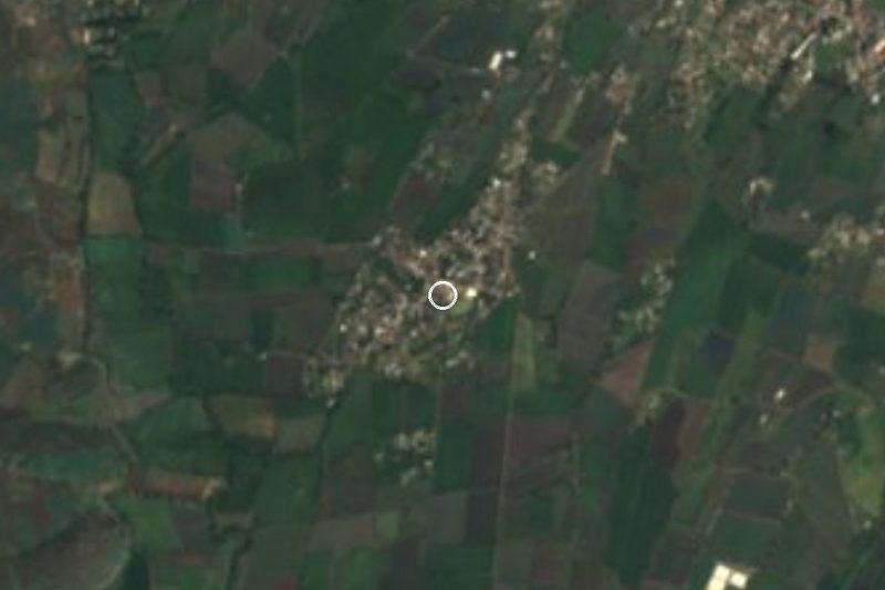
Calderón is 9 km from Cuautla by road (about 13 minutes) and roughly 5 km as the crow flies. The sources we consulted record no organised tourist attractions or visiting hours in the village.
How to get to Calderón
Drive from Cuautla: 10 min, 6 km
From Cuautla it is 9 km and about 13 minutes by car. Leave along Avenida Reforma (MEX 115 highway) to the junction with the Cuernavaca–Cuautlixco road (MEX 138), follow it for almost 2 km, take Avenida Benito Juárez and Avenida del Campesino, then the old road to Santa Inés and the Casasano–Calderón road, which leads into the village. The last stretch is on narrow streets.
Cuautla can be reached by bus from the Taxqueña terminal with Pullman de Morelos or Estrella Roja Cuautla (TER). We found no published collectivo or bus route to Calderón, so from downtown Cuautla a taxi is the most practical choice.
Directions to Calderón on Google Maps
Distances are in a straight line; the road is usually longer.
Links open a partner site. We may earn a commission if you book, at no cost to you.
From the nearest cities to Calderón
- Cuautla · 6 km by road, 10 min
- Cuernavaca · 50 km by road, 50 min
- Atlixco · 84 km by road, 1 h 5 min
Drive times by road from OpenStreetMap, without traffic or stops. Times marked ~ are estimated from the straight-line distance.
Visiting Calderón: what to see and do
The former Calderón station, registered as a monument (Commons classes it as abandoned)
The Calderón aqueduct, about 250 m from the centre of the village
Cerro de Calderón, one of the two main elevations in the municipality of Cuautla
Plan your trip
Places to stay in Calderón
Compare hotels, posadas, and rentals in and around Calderón.
Tours & activities
Day trips and guided outings from Tlayacapan often include Calderón; with a local guide you can get there without a car.
Rental cars
Pick up a car at MEX (Mexico City): about 1 h 33 min by road to Tlayacapan, then 11 km more to Calderón, on your own schedule.
Flights
The nearest airport with scheduled flights is Mexico City (MEX), about 1 h 33 min by road from Tlayacapan, the base for Calderón.
Mobile data
Signal can drop away from Tlayacapan: download a map of the way to Calderón before you set out, or carry an eSIM with data.
Links open a partner site. We may earn a commission if you book, at no cost to you.
When to go to Calderón mild
Calderón shares the climate of Tlayacapan, 11 km away. The best months to visit are January, February, March, and December.
See the month-by-month climate of Tlayacapan
Weather in Calderón now and the next 7 days
Live forecast from Open-Meteo. Chance of rain is the day's highest.
The closest Pueblo Mágico: Tlayacapan

Tlayacapan is the Pueblo Mágico closest to Calderón, with places to stay, food, and more to see.
Also close to
- Tepoztlán · Morelos · 19 km away
- Tlaltizapán · Morelos · 26 km away
- Xochitepec · Morelos · 35 km away
- Malinalco · Estado de México · 56 km away
- Atlixco · Puebla · 58 km away
Closest to Calderón
-
Peña Flores · Village · 1 km away
-
Narciso Mendoza · Village · 2 km away
-
Diecinueve de Febrero de Mil Ochocientos Doce · Village · 3 km away
-
Hacienda Cocoyoc · Landmark · 3 km away
-
Exhacienda el Hospital · Village · 4 km away
-
Antigua estación del ferrocarril de Cuautla · Landmark · 5 km away
-
Cuautla · City · 5 km away
-
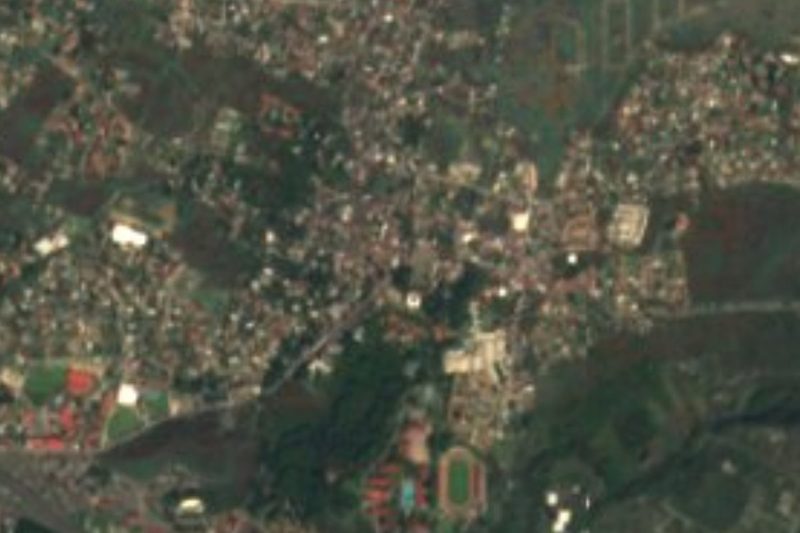
Estadio Olímpico de Oaxtepec · Landmark · 5 km away

Near Calderón







Drive times by road from OpenStreetMap, without traffic. Times marked ~ are estimated from the straight-line distance.
Location from OpenStreetMap. Written by Puebloteca.