Village Yautepec, Morelos Municipality of Yautepec Monasteries on the slopes of Popocatépetl Northern Morelos
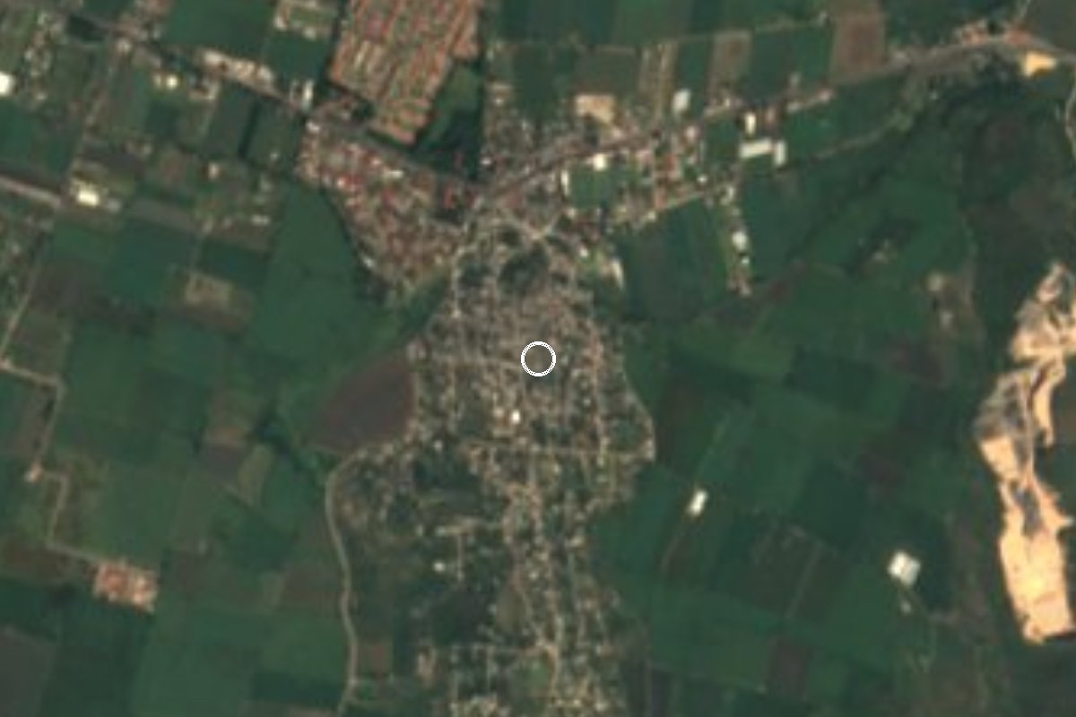
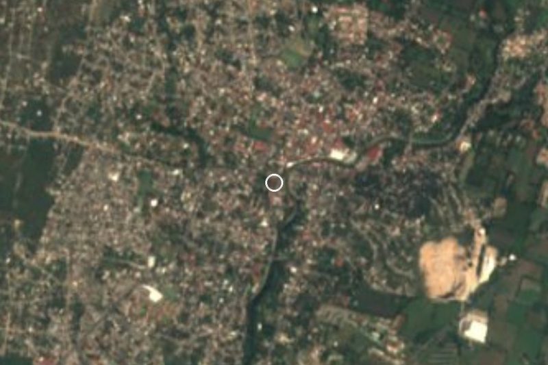
Yautepec locality beside the aqueduct arches of the former San Carlos Borromeo hacienda, on the Cuernavaca-Cuautla road.
From Cuautla: 20 min by car (13 km by road) How to get there ↓
Near here
See everything nearby ↓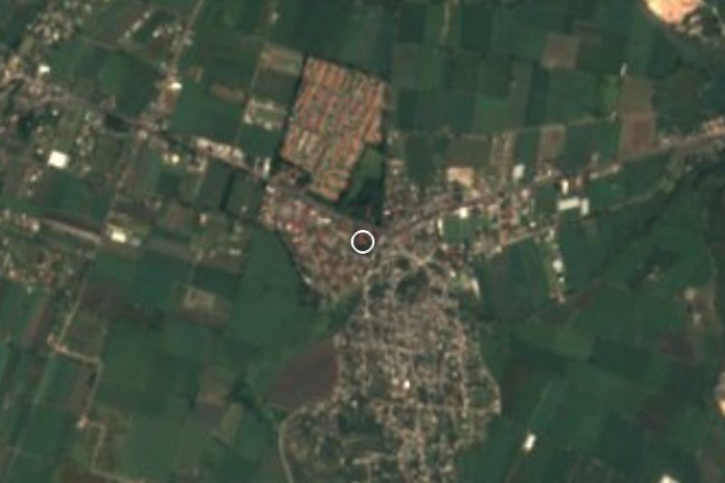


Plan your visit to Los Arcos
Where to stay near Los Arcos
Compare hotels, posadas and guest houses in Los Arcos.
Tours to Los Arcos
Day trips and guided outings from Tlayacapan often include Los Arcos; with a local guide you can get there without a car.
 Tours from Cuernavaca
3hr Cooking Class in Cuernavaca 8 Recipes and Bottomless Drinks
From US$59
How to get to Los Arcos
- From Cuautla: about 20 min by road (~13 km)
- Nearest airport: Mexico City (MEX), 1 h 33 min by car to Tlayacapan
Links open a partner site. We may earn a commission if you book, at no cost to you.
Tours from Cuernavaca, near Los Arcos


Tours, prices and ratings from Viator, checked weekly. We may earn a commission if you book.
About Los Arcos
Anyone driving the free road between Cuernavaca and Cuautla passes, a few kilometres east of downtown Yautepec, under a row of masonry arches that straddle the carriageway. These are the Arcos de San Carlos, part of the aqueduct of the former Hacienda de San Carlos Borromeo, and they give the locality of Los Arcos (also called San Carlos) its name. The Secretaría de Cultura and INAH treat them as a historic monument; the press dates them to the 17th century, though reports disagree on their exact age.
The arches have paid for being on a trunk road. On 23 June 2021 a trailer that misjudged the height of its load knocked down part of the structure, and INAH Morelos assessed the damage. The reopening was formalised in early 2022 after roughly seven months of work. A December 2021 report notes that only the two central arches were restored and the outer ones were left as they were, so large trucks still scrape them.
The village has grown a great deal over the last century. INEGI counted 633 people in 1900, just 34 in 1921 after the Revolution, 1,699 in 1970 and 2,609 in 1990. The count nearly doubled to 5,657 by 2000 and stood at 5,736 in 2020. It sits at about 1,237 metres above sea level.
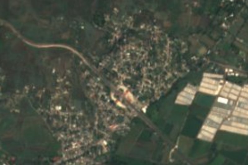
Today Los Arcos is mostly housing estates and neighbourhood streets, with a school but no hotels or museum of its own. For a visitor the point is the aqueduct, which takes a few minutes to see from a car or on foot along the shoulder, and the closeness to Yautepec, Oaxtepec and Tlayacapan.
How to get to Los Arcos
Drive from Cuautla: 20 min, 13 km
By car: from Mexico City take toll road 95D to Cuernavaca and then, per road guides, the 160D toll branch toward Oacalco, Oaxtepec and Cuautla; or the free federal road between Cuernavaca and Cuautla, which runs through Yautepec. Los Arcos is on the free road, about 4 km east of downtown Yautepec (straight line), and the arches themselves span the Yautepec-Cuautla avenue. From Cuernavaca allow about 25 minutes; Cuautla is about 11 km away in a straight line (about 20 minutes by road, approx.).
By bus: Estrella Roja de Cuautla (TER, part of Grupo Pullman de Morelos) runs between Cuernavaca and Cuautla via Yautepec; from Mexico City there are departures from Terminal Sur Taxqueña. Ask the driver to drop you at Los Arcos or San Carlos, or get off in Yautepec and take a taxi. Tlayacapan, the nearest reference town, is about 9 km away in a straight line (roughly 10 to 15 minutes). Check schedules with the line before you go.
Directions to Los Arcos on Google Maps
Distances are in a straight line; the road is usually longer.
Links open a partner site. We may earn a commission if you book, at no cost to you.
From the nearest cities to Los Arcos
- Cuautla · 13 km by road, 20 min
- Cuernavaca · 31 km by road, 40 min
- Atlixco · 90 km by road, 1 h 10 min
Drive times by road from OpenStreetMap, without traffic or stops. Times marked ~ are estimated from the straight-line distance.
Visiting Los Arcos: what to see and do
Look at the Arcos de San Carlos, the former hacienda's aqueduct over the highway.
Note the two restored central arches and the outer ones left unrepaired.
Walk the neighbourhood streets toward the housing estates on the Yautepec side.
Continue to Yautepec, about 4 km west, for its centre and market.
Go on to Tlayacapan, about 9 km to the north-east, for the Augustinian former convent.
Plan your trip
Places to stay in Los Arcos
Compare hotels, posadas, and rentals in and around Los Arcos.
Tours & activities
Day trips and guided outings from Tlayacapan often include Los Arcos; with a local guide you can get there without a car.
Rental cars
Pick up a car at MEX (Mexico City): about 1 h 33 min by road to Tlayacapan, then 9 km more to Los Arcos, on your own schedule.
Flights
The nearest airport with scheduled flights is Mexico City (MEX), about 1 h 33 min by road from Tlayacapan, the base for Los Arcos.
Mobile data
Signal can drop away from Tlayacapan: download a map of the way to Los Arcos before you set out, or carry an eSIM with data.
Links open a partner site. We may earn a commission if you book, at no cost to you.
When to go to Los Arcos mild
Los Arcos shares the climate of Tlayacapan, 9 km away. The best months to visit are January, February, March, and December.
See the month-by-month climate of Tlayacapan
Weather in Los Arcos now and the next 7 days
Live forecast from Open-Meteo. Chance of rain is the day's highest.
The closest Pueblo Mágico: Tlayacapan

Tlayacapan is the Pueblo Mágico closest to Los Arcos, with places to stay, food, and more to see.
Also close to
- Tepoztlán · Morelos · 13 km away
- Tlaltizapán · Morelos · 25 km away
- Xochitepec · Morelos · 32 km away
- Malinalco · Estado de México · 51 km away
- Atlixco · Puebla · 63 km away
Closest to Los Arcos
-
Ex Hacienda de San Carlos · Landmark · 0 km away
-
Itzamatitlán · Village · 2 km away
-
Hacienda Cocoyoc · Landmark · 4 km away
-
Oacalco · Village · 4 km away
-
Parroquia de la Asunción de María · Landmark · 4 km away
-
Adolfo López Mateos · Village · 5 km away
-
Hacienda Apanquetzalco · Landmark · 5 km away
-
Lázaro Cárdenas · Village · 5 km away

Near Los Arcos
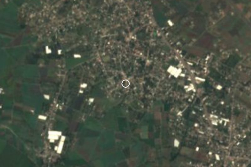
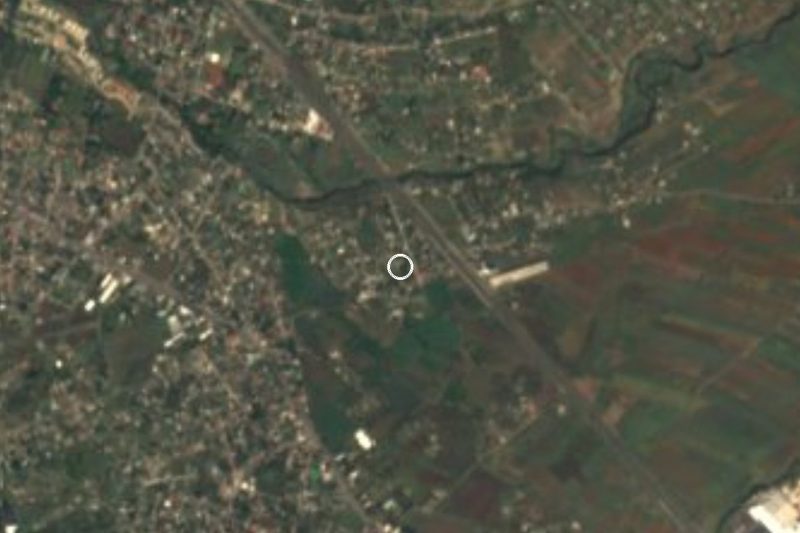



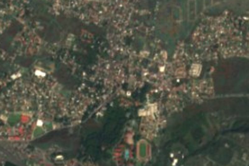
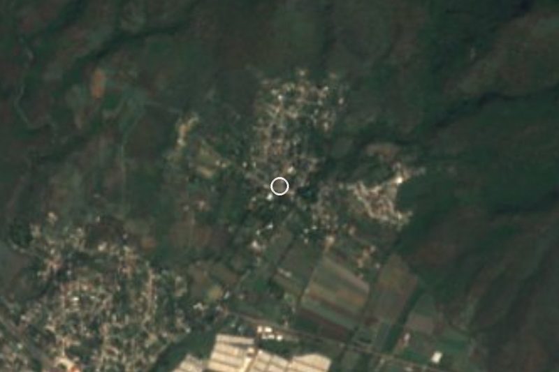

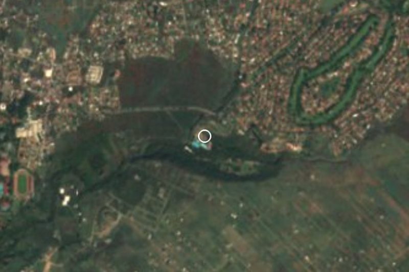
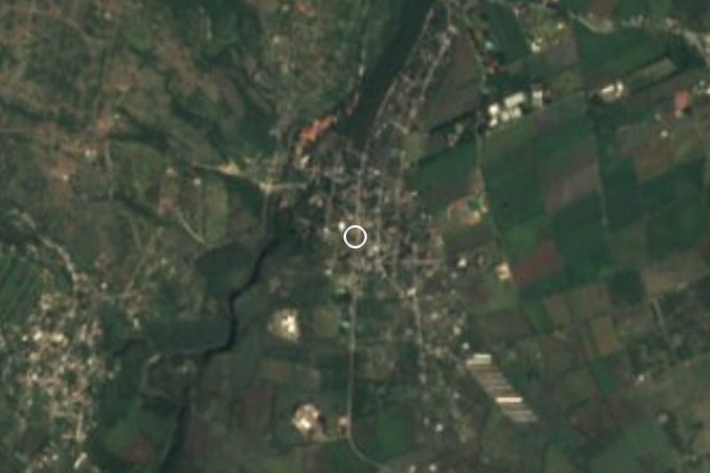
Drive times by road from OpenStreetMap, without traffic. Times marked ~ are estimated from the straight-line distance.
Location from OpenStreetMap. Written by Puebloteca.