Village Yautepec, Morelos Municipality of Yautepec Monasteries on the slopes of Popocatépetl Northern Morelos
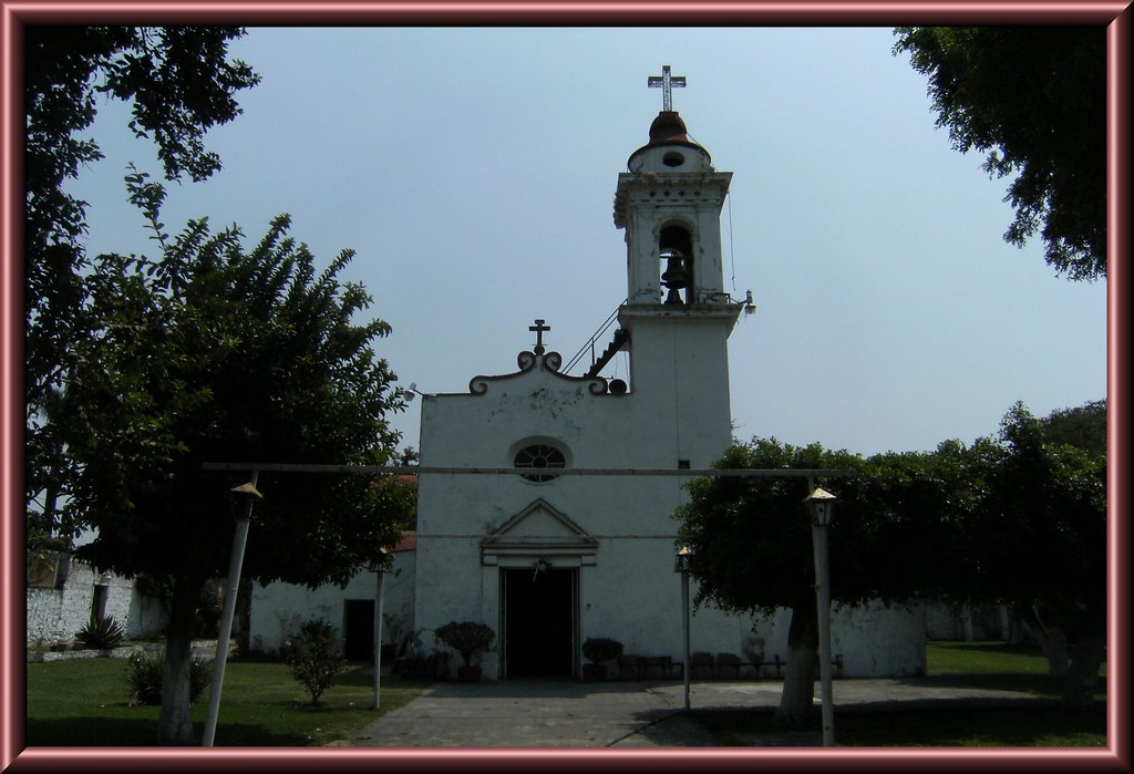
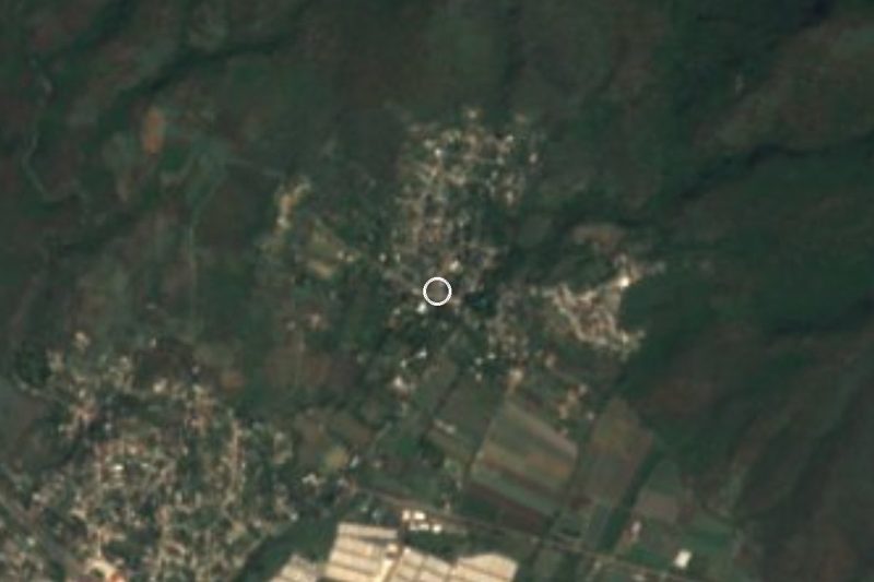
Village in Yautepec whose Nahuatl name means 'house of the ears of grain'; it grew around a sugar mill and has a parish church of Santa Inés.
From Cuautla: 15 min by car (17 km by road) How to get there ↓
Near here
See everything nearby ↓

Plan your visit to Oacalco
Where to stay near Oacalco
Compare hotels, posadas and guest houses in Oacalco.
Tours to Oacalco
Day trips and guided outings from Tlayacapan often include Oacalco; with a local guide you can get there without a car.
How to get to Oacalco
- From Cuautla: about 15 min by road (~17 km)
- Nearest airport: Mexico City (MEX), 1 h 33 min by car to Tlayacapan
Links open a partner site. We may earn a commission if you book, at no cost to you.
About Oacalco
Oacalco comes from Nahuatl: ohuatl, ear of grain; calli, house; and the locative -co, so 'in the house of the ears of grain'. It is a locality in the municipality of Yautepec with 2,543 people in the 2020 census (2,634 in 2010), at roughly 1,240 m above sea level, with a warm climate and a pronounced summer rainy season.
Sugar explains the village. According to former mill workers' testimony in a local oral history, Oacalco was little more than a dead hacienda until 1923, when construction began on a sugar mill that brought work to the whole area; the population gathered around the factory while the rest of the landscape was cane fields.
The religious centre is the parish of Santa Inés de Montepulciano, a whitewashed church with a plain facade and a single-stage bell tower, set in a garden with old stone walls. Do not confuse the village with the ruined Hacienda Apanquetzalco, founded in 1613, which is also in the Yautepec municipality but is a different site.
Oacalco is not a place of famous monuments. It is a working village on the way between Yautepec and Tlayacapan, handy as a stop when exploring the area, with food stalls and a few local restaurants. We found no published opening hours or fees for any site in the village, so we give none.
How to get to Oacalco
Drive from Cuautla: 15 min, 17 km
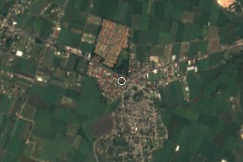
Oacalco is in the municipality of Yautepec, about 5 km in a straight line from Yautepec city (per a locality directory) and about 9 km by road from Tlayacapan. From Mexico City, México Desconocido names two routes into this area: the Xochimilco–Oaxtepec highway and the Tlalpan road toward Oacalco; the whole trip takes under two hours, approx.
From Cuernavaca or Cuautla, the practical way is to reach Yautepec first (by bus from Terminal Taxqueña or TAPO in Mexico City, or from Cuernavaca and Cuautla) and then take a taxi or local colectivo to Oacalco; we found no published colectivo route, so ask in Yautepec's centre. To Tlayacapan from here, allow about 10 to 15 minutes by car, approx. A car is the easiest way to link the villages around here.
Directions to Oacalco on Google Maps
Distances are in a straight line; the road is usually longer.
Links open a partner site. We may earn a commission if you book, at no cost to you.
From the nearest cities to Oacalco
- Cuautla · 17 km by road, 15 min
- Cuernavaca · 38 km by road, 35 min
- Atlixco · 92 km by road, 1 h 10 min
Drive times by road from OpenStreetMap, without traffic or stops. Times marked ~ are estimated from the straight-line distance.
Visiting Oacalco: what to see and do
Visit the parish church of Santa Inés de Montepulciano and its garden.
Notice how the village is laid out around the old sugar mill area.
Walk among the cane fields and orchards around the village.
Eat at the local food stalls and small restaurants.
Continue to Tlayacapan to see its 16th-century former convent.
Plan your trip
Places to stay in Oacalco
Compare hotels, posadas, and rentals in and around Oacalco.
Tours & activities
Day trips and guided outings from Tlayacapan often include Oacalco; with a local guide you can get there without a car.
Rental cars
Pick up a car at MEX (Mexico City): about 1 h 33 min by road to Tlayacapan, then 6 km more to Oacalco, on your own schedule.
Flights
The nearest airport with scheduled flights is Mexico City (MEX), about 1 h 33 min by road from Tlayacapan, the base for Oacalco.
Mobile data
Signal can drop away from Tlayacapan: download a map of the way to Oacalco before you set out, or carry an eSIM with data.
Links open a partner site. We may earn a commission if you book, at no cost to you.
When to go to Oacalco mild
Oacalco shares the climate of Tlayacapan, 6 km away. The best months to visit are January, February, March, and December.
See the month-by-month climate of Tlayacapan
Weather in Oacalco now and the next 7 days
Live forecast from Open-Meteo. Chance of rain is the day's highest.
The closest Pueblo Mágico: Tlayacapan

Tlayacapan is the Pueblo Mágico closest to Oacalco, with places to stay, food, and more to see.
Also close to
- Tepoztlán · Morelos · 10 km away
- Tlaltizapán · Morelos · 29 km away
- Xochitepec · Morelos · 33 km away
- Malinalco · Estado de México · 50 km away
- Atlixco · Puebla · 63 km away
Closest to Oacalco
-
Adolfo López Mateos · Village · 1 km away
-
Lázaro Cárdenas · Village · 1 km away
-
Itzamatitlán · Village · 2 km away
-
Ex Hacienda de San Carlos · Landmark · 3 km away
-
Ignacio Bastida · Village · 3 km away
-
Hacienda Apanquetzalco · Landmark · 4 km away
-
Los Arcos · Village · 4 km away
-
Parroquia de la Asunción de María · Landmark · 5 km away
Near Oacalco



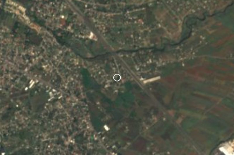
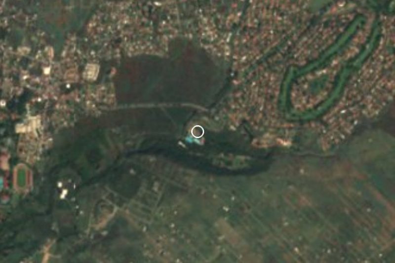
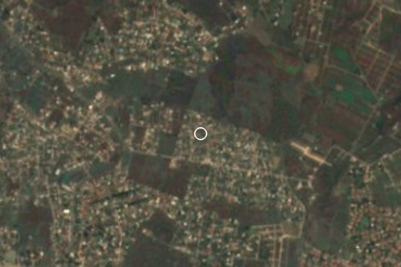

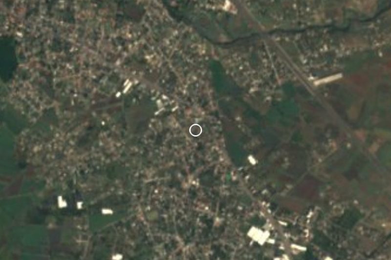
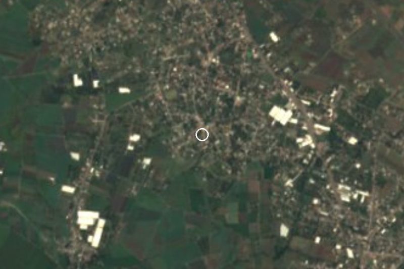

Drive times by road from OpenStreetMap, without traffic. Times marked ~ are estimated from the straight-line distance.
Location from OpenStreetMap. Written by Puebloteca.