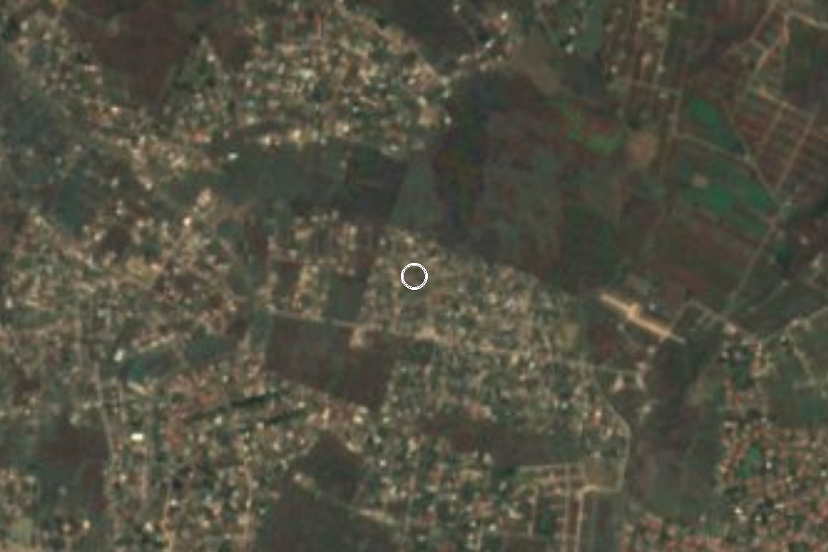
Village Yautepec, Morelos Municipality of Yautepec Monasteries on the slopes of Popocatépetl Northern Morelos
Small locality in Yautepec at 1,486 m, close to Cocoyoc and its old sugar hacienda. Not the municipality of Emiliano Zapata.
From Cuautla: 20 min by car (15 km by road) How to get there ↓
Near here
See everything nearby ↓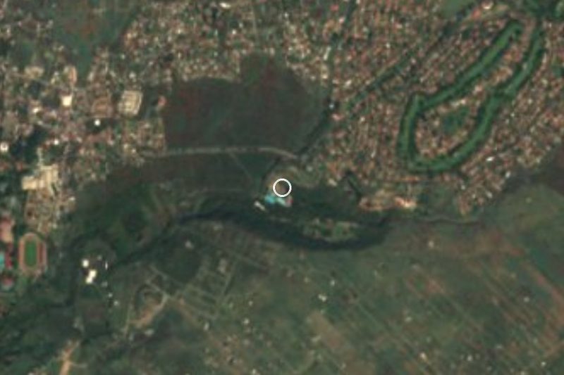


Plan your visit to Emiliano Zapata
Where to stay near Emiliano Zapata
Compare hotels, posadas and guest houses in Emiliano Zapata.
Tours to Emiliano Zapata
Day trips and guided outings from Tlayacapan often include Emiliano Zapata; with a local guide you can get there without a car.
 Tours from Cuernavaca
3hr Cooking Class in Cuernavaca 8 Recipes and Bottomless Drinks
From US$59
How to get to Emiliano Zapata
- From Cuautla: about 20 min by road (~15 km)
- Nearest airport: Mexico City (MEX), 1 h 33 min by car to Tlayacapan
Links open a partner site. We may earn a commission if you book, at no cost to you.
Tours from Cuernavaca, near Emiliano Zapata


Tours, prices and ratings from Viator, checked weekly. We may earn a commission if you book.
About Emiliano Zapata
First, a clarification: this Emiliano Zapata is not the municipality of the same name, which is a separate one bordering Yautepec to the south. It is a small locality inside Yautepec, at about 1,486 m above sea level, listed by INEGI under code 170290158. It is named after the agrarian leader of the Revolution, as are many places in Morelos.
It is a young settlement. The 2000 census counted only 111 people; by 2010 there were 1,120 and in 2020, 1,251. There is no colonial centre or old plaza to see: what you find are subdivision-style streets and new-village blocks, which open maps name after flowers (Jacarandas, Bugambilias, Gardenias, Orquideas) and after figures of the Mexica world such as Tezozomoc, Nopaltzin, Xicotencatl or Netzahualcoyotl. Close by, the Lomas de Cocoyoc neighbourhood belongs to the same fabric of weekend homes and residences.
What gives the place meaning is its surroundings. Cocoyoc, to the south-west, had 10,178 residents in 2020, sits at about 1,320 m, and its Nahuatl name is read as 'place of fireflies'. The Hacienda de Cocoyoc is there: in the 18th century it was one of the country's major sugar mills, it was damaged in the Revolution, and since 1957 it has operated as a hotel; INAH has declared it a historic monument. To the north runs the Route of the Convents of Popocatepetl, with Tlayacapan and Atlatlahucan a few kilometres off.
Be realistic about what you will find: open sources document no monuments, festivals or sights of its own here. Treat it as a stop on a Cocoyoc-area day out rather than a destination.
How to get to Emiliano Zapata
Drive from Cuautla: 20 min, 15 km
It lies in northern Morelos, in the municipality of Yautepec, about 11 km in a straight line from Cuautla and a few kilometres from Tlayacapan; by road it is longer, so allow roughly 20 to 30 minutes from Cuautla. From Cuernavaca, the Cocoyoc hotel's own page (somewhat dated) gives about 25 minutes to the hacienda, the nearest landmark. From Mexico City the route follows the Cuautla highway; a bus from Cuautla to TAPO leaves about every 30 minutes and takes 2.5 to 3 hours (Rome2Rio), and Pullman de Morelos links Cuautla with Terminal Sur (Taxqueña) hourly in about 1 h 40 min. The practical way is a bus to Cuautla or Cocoyoc and a taxi or combi for the last stretch: We found no named public transport line going straight to the locality, so ask in Cocoyoc. By car, find it on the map next to Lomas de Cocoyoc.
Directions to Emiliano Zapata on Google Maps
Distances are in a straight line; the road is usually longer.
Links open a partner site. We may earn a commission if you book, at no cost to you.
From the nearest cities to Emiliano Zapata
- Cuautla · 15 km by road, 20 min
- Cuernavaca · 46 km by road, 45 min
- Atlixco · 90 km by road, 1 h 15 min
Drive times by road from OpenStreetMap, without traffic or stops. Times marked ~ are estimated from the straight-line distance.
Visiting Emiliano Zapata: what to see and do
Walk the village streets and look in on neighbouring Lomas de Cocoyoc.
See the Hacienda de Cocoyoc, an old sugar mill now a hotel (INAH historic monument).
Stroll through Cocoyoc, the 'place of fireflies'.
Continue north to the convents of Tlayacapan and Atlatlahucan.
Plan your trip
Places to stay in Emiliano Zapata
Compare hotels, posadas, and rentals in and around Emiliano Zapata.
Tours & activities
Day trips and guided outings from Tlayacapan often include Emiliano Zapata; with a local guide you can get there without a car.
Rental cars
Pick up a car at MEX (Mexico City): about 1 h 33 min by road to Tlayacapan, then 4 km more to Emiliano Zapata, on your own schedule.
Flights
The nearest airport with scheduled flights is Mexico City (MEX), about 1 h 33 min by road from Tlayacapan, the base for Emiliano Zapata.
Mobile data
Signal can drop away from Tlayacapan: download a map of the way to Emiliano Zapata before you set out, or carry an eSIM with data.
Links open a partner site. We may earn a commission if you book, at no cost to you.
When to go to Emiliano Zapata mild
Emiliano Zapata shares the climate of Tlayacapan, 4 km away. The best months to visit are January, February, March, and December.
See the month-by-month climate of Tlayacapan
Weather in Emiliano Zapata now and the next 7 days
Live forecast from Open-Meteo. Chance of rain is the day's highest.
The closest Pueblo Mágico: Tlayacapan

Tlayacapan is the Pueblo Mágico closest to Emiliano Zapata, with places to stay, food, and more to see.
Also close to
- Tepoztlán · Morelos · 16 km away
- Tlaltizapán · Morelos · 33 km away
- Xochitepec · Morelos · 40 km away
- Atlixco · Puebla · 56 km away
- Malinalco · Estado de México · 57 km away
Closest to Emiliano Zapata
-
Balneario Ejidal El Bosque · Hot springs · 3 km away
-
Estadio Olímpico de Oaxtepec · Landmark · 3 km away
-
Exconvento de Santo Domingo de Guzmán · Landmark · 3 km away
-
Lomas de Cocoyoc · Village · 3 km away
-
Oaxtepec · Town · 3 km away
-
San Juan Texcalpan · Village · 3 km away
-
Las Minas · Village · 5 km away
-
San Andrés Cuauhtempan · Village · 5 km away
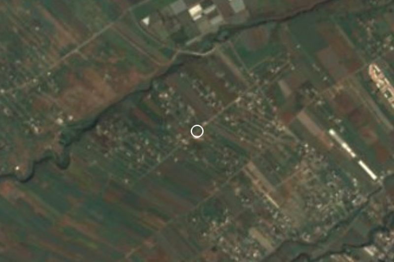
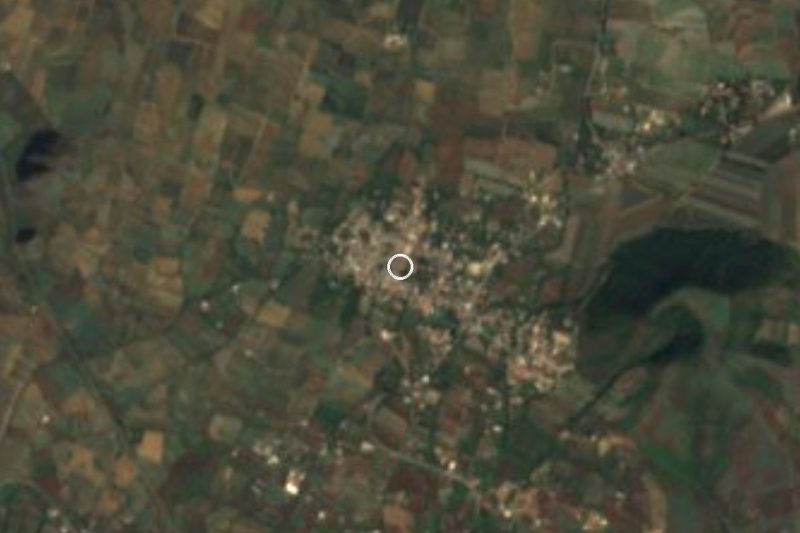
Near Emiliano Zapata



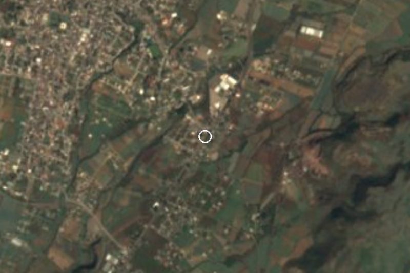
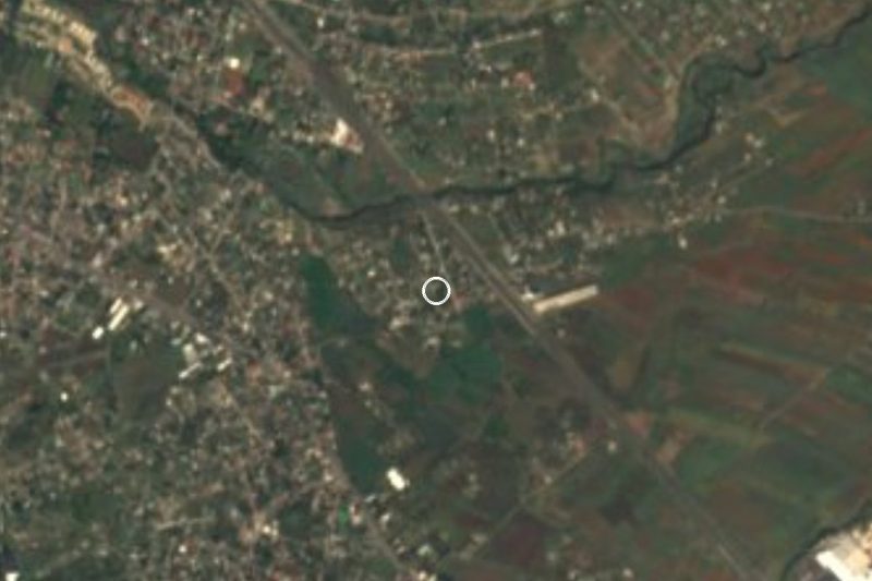
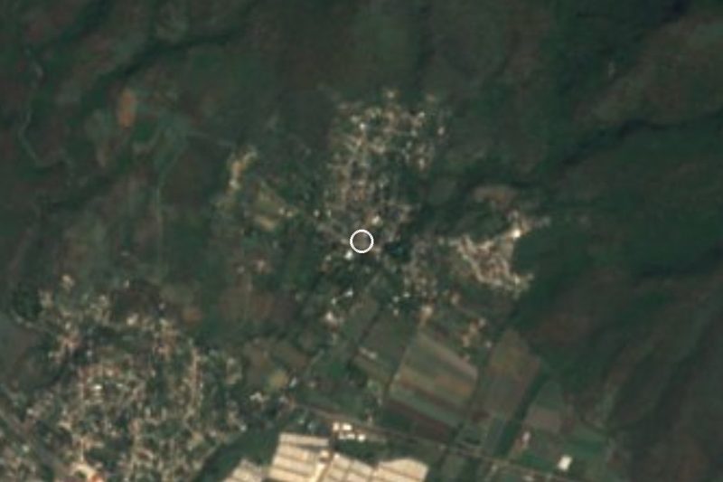
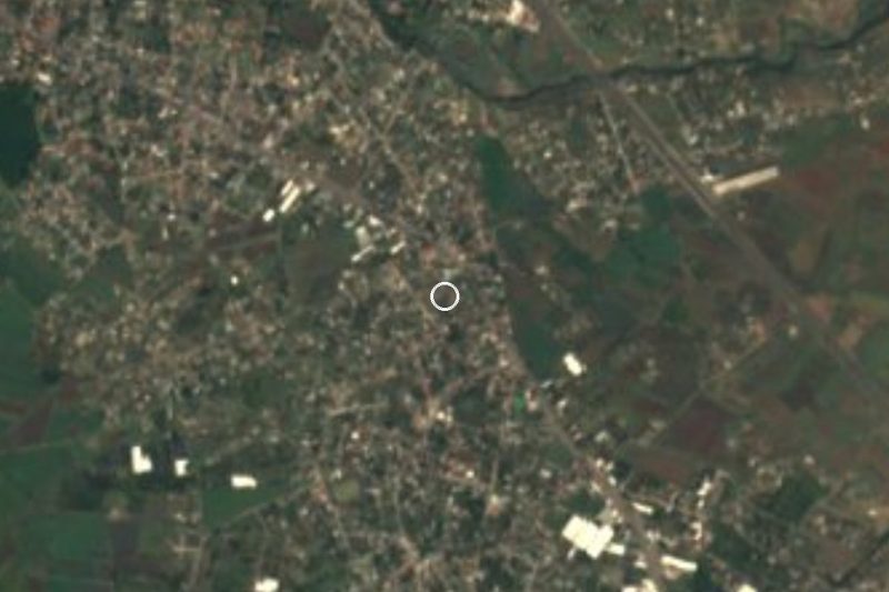

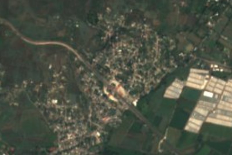
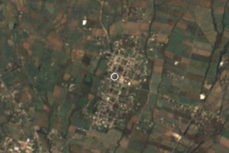
Drive times by road from OpenStreetMap, without traffic. Times marked ~ are estimated from the straight-line distance.
Location from OpenStreetMap. Written by Puebloteca.