Village Atlatlahucan, Morelos Municipality of Atlatlahucan Monasteries on the slopes of Popocatépetl Northern Morelos
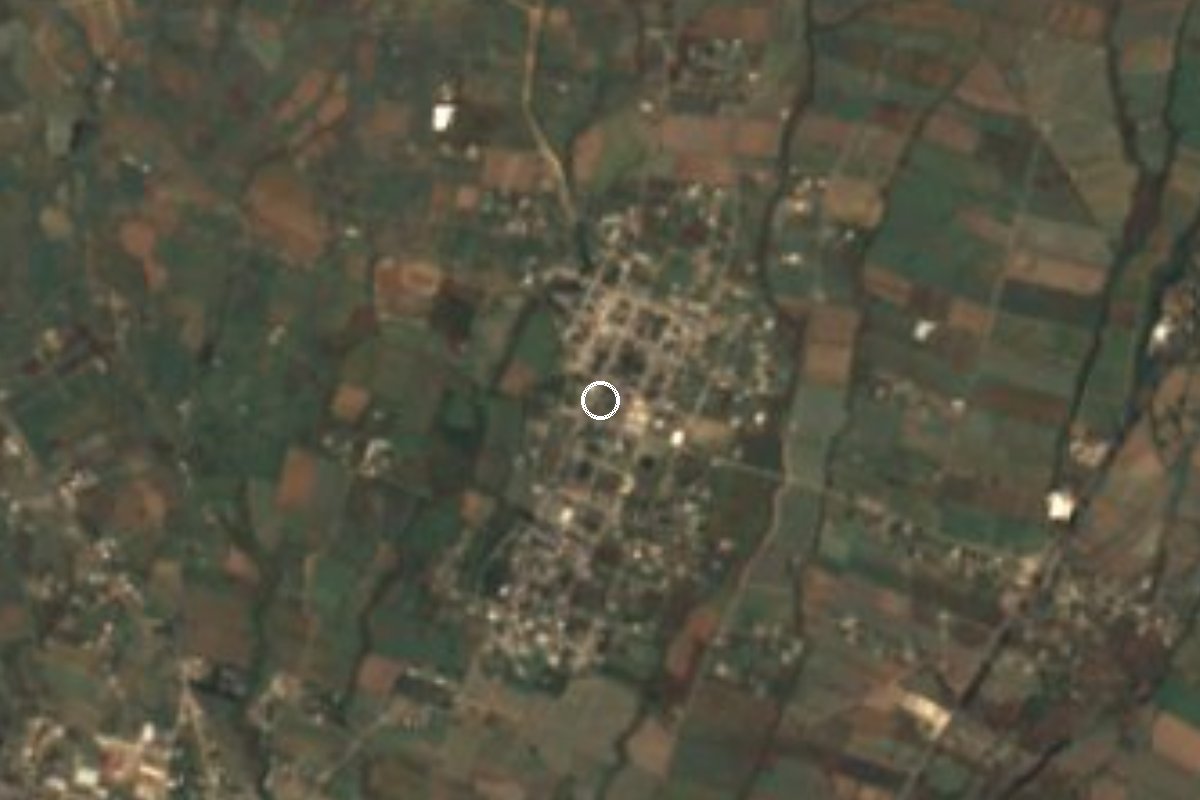
Atlatlahucan village at 1,719 m, Nahuatl for 'place of earth pyramids'; 2,098 residents and a San Miguel fiesta on 29 September.
From Cuautla: 15 min by car (16 km by road) How to get there ↓
Near here
See everything nearby ↓



Plan your visit to San Miguel Tlaltetelco
Where to stay near San Miguel Tlaltetelco
Compare hotels, posadas and guest houses in San Miguel Tlaltetelco.
Tours to San Miguel Tlaltetelco
Day trips and guided outings from Tlayacapan often include San Miguel Tlaltetelco; with a local guide you can get there without a car.
 Tours from Cuernavaca
3hr Cooking Class in Cuernavaca 8 Recipes and Bottomless Drinks
From US$59
How to get to San Miguel Tlaltetelco
- From Cuautla: about 15 min by road (~16 km)
- Nearest airport: Mexico City (MEX), 1 h 33 min by car to Tlayacapan
Links open a partner site. We may earn a commission if you book, at no cost to you.
Tours from Cuernavaca, near San Miguel Tlaltetelco


Tours, prices and ratings from Viator, checked weekly. We may earn a commission if you book.
About San Miguel Tlaltetelco
Tlaltetelco means "place of earth pyramids" in Nahuatl: tlalli, earth; teteli, pyramid or shrine; co, locative. The "San Miguel" in the name is the archangel, honoured here on 29 September, eight days after the feast of San Mateo in the municipal seat of Atlatlahucan.
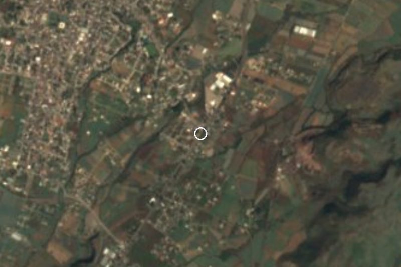
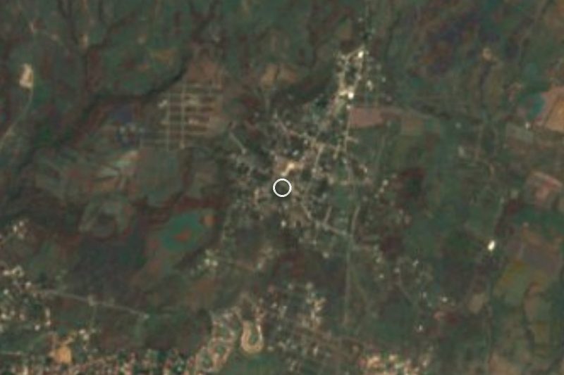
After the seat, a housing development and Las Minas, it is the municipality's most populous locality: 2,098 people in 2020, against 1,424 in 2010 and 1,239 in 2005. The growth shows in other census figures too: the share of residents born outside Morelos rose from 14.5% to 34.4%, and home internet from 5% to 25% of households. The village sits at 1,719 m above sea level and about 2 km northeast of Atlatlahucan, with small settlements close by: Jagüeycillos (Colonia 10 de Mayo) under 1 km to the southeast and Telchicayac (El Cabellito) a little over 1 km east.
The climate is subtropical with a dry winter. The annual mean is 19 °C, about 1,455 mm of rain falls a year and September is the wettest month; the lowest recorded temperature was 2.6 °C, on 24 January 1981. To the north rise Cerro del Mirador (1,941 m) and Cerro Partido (2,065 m), and to the south the Malpaís (1,732 m). The village has no hotels; the closest, Hotel Motel Atamor, is about 2 km away.
How to get to San Miguel Tlaltetelco
Drive from Cuautla: 15 min, 16 km
Tlaltetelco lies about 2 km northeast of Atlatlahucan. From Tlayacapan it is roughly 14 km (about 14 minutes by car), and from Cuautla around 15 km straight-line, about 15 to 20 minutes. Atlatlahucan is some 91 km from Mexico City per Wikipedia: use the México-Cuautla highway and then the road toward Atlatlahucan (confirm the exit on a map).
By bus, get to Cuautla (Volcanes from TAPO, Pullman de Morelos from Terminal Sur in Taxqueña) and look for a combi or taxi to Atlatlahucan. From the seat, the last stretch to Tlaltetelco is short and a taxi does it. We found no public combi timetable, so ask at the stop.
Directions to San Miguel Tlaltetelco on Google Maps
Distances are in a straight line; the road is usually longer.
Links open a partner site. We may earn a commission if you book, at no cost to you.
From the nearest cities to San Miguel Tlaltetelco
- Cuautla · 16 km by road, 15 min
- Cuernavaca · 63 km by road, 55 min
- Atlixco · 91 km by road, 1 h 10 min
Drive times by road from OpenStreetMap, without traffic or stops. Times marked ~ are estimated from the straight-line distance.
Before you go to San Miguel Tlaltetelco: hours, prices and tips
- Best season
- Patron saint's fiesta of San Miguel Arcángel on 29 September. Wikipedia, Atlatlahucan · checked Oct 2026
Hours and prices change, especially around holidays. Each fact links to where we checked it.
Visiting San Miguel Tlaltetelco: what to see and do
Walk the village and find the church of San Miguel Arcángel.
Come on 29 September for the patron saint's fiesta.
Stroll toward Jagüeycillos or Telchicayac, a little over 1 km away, to see the farmland around.
Look north to Cerro Partido and Cerro del Mirador.
Drop down to Atlatlahucan, about 2 km away, and visit the former convent of San Mateo Apóstol.
Plan your trip
Places to stay in San Miguel Tlaltetelco
Compare hotels, posadas, and rentals in and around San Miguel Tlaltetelco.
Tours & activities
Day trips and guided outings from Tlayacapan often include San Miguel Tlaltetelco; with a local guide you can get there without a car.
Rental cars
Pick up a car at MEX (Mexico City): about 1 h 33 min by road to Tlayacapan, then 10 km more to San Miguel Tlaltetelco, on your own schedule.
Flights
The nearest airport with scheduled flights is Mexico City (MEX), about 1 h 33 min by road from Tlayacapan, the base for San Miguel Tlaltetelco.
Mobile data
Signal can drop away from Tlayacapan: download a map of the way to San Miguel Tlaltetelco before you set out, or carry an eSIM with data.
Links open a partner site. We may earn a commission if you book, at no cost to you.
When to go to San Miguel Tlaltetelco mild
San Miguel Tlaltetelco shares the climate of Tlayacapan, 10 km away. The best months to visit are January, February, March, and December.
See the month-by-month climate of Tlayacapan
Weather in San Miguel Tlaltetelco now and the next 7 days
Live forecast from Open-Meteo. Chance of rain is the day's highest.
The closest Pueblo Mágico: Tlayacapan

Tlayacapan is the Pueblo Mágico closest to San Miguel Tlaltetelco, with places to stay, food, and more to see.
Also close to
- Tepoztlán · Morelos · 23 km away
- Tlaltizapán · Morelos · 40 km away
- Xochitepec · Morelos · 48 km away
- Atlixco · Puebla · 49 km away
- Huejotzingo · Puebla · 56 km away
Closest to San Miguel Tlaltetelco
-
Atlatlahucan · Town · 2 km away
-
Monasterios en las faldas del Popocatépetl · Landmark · 2 km away
-
Templo y Exconvento de San Mateo Apóstol · Landmark · 2 km away
-
Kilómetro Ochenta y Ocho · Village · 3 km away
-
San Juan Texcalpan · Village · 5 km away
-
Templo y exconvento de San Guillermo · Landmark · 5 km away
-
Totolapan · Town · 5 km away
-
San Francisco · Village · 6 km away
Near San Miguel Tlaltetelco

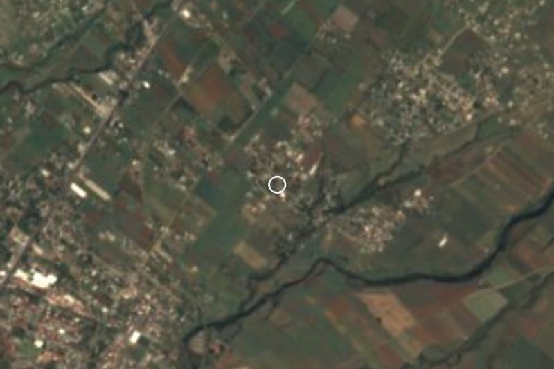
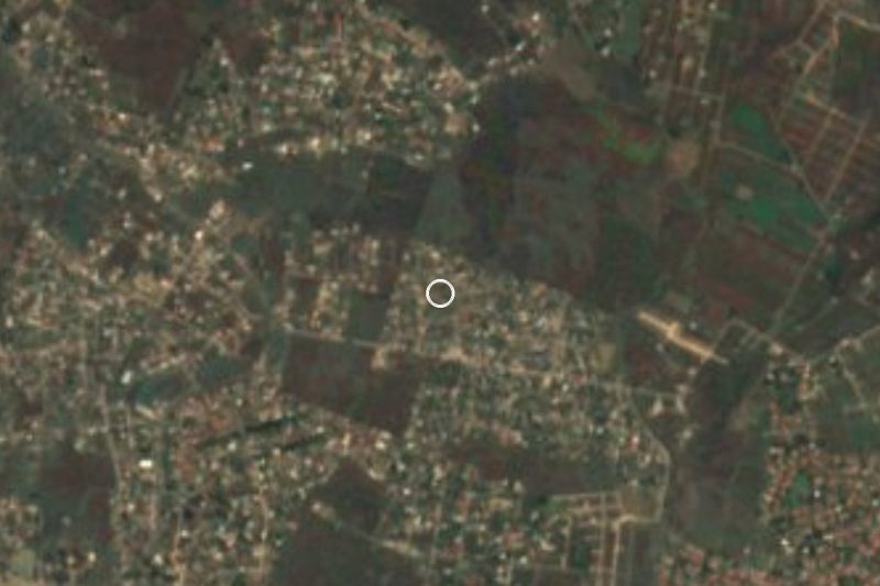
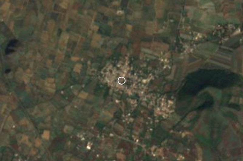
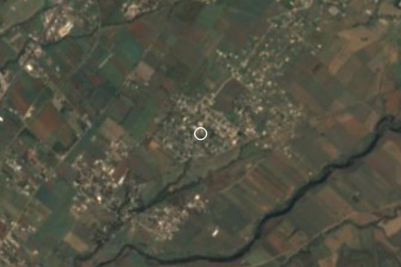
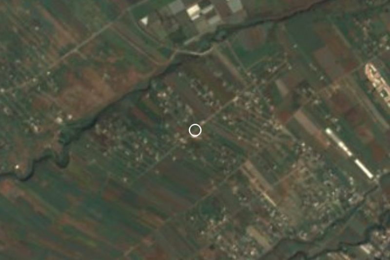


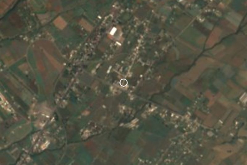
Drive times by road from OpenStreetMap, without traffic. Times marked ~ are estimated from the straight-line distance.
Location from OpenStreetMap. Written by Puebloteca.