

Village Totolapan, Morelos Municipality of Totolapan Monasteries on the slopes of Popocatépetl Northern Morelos
Village of Totolapan at 2,048 m in the high north of Morelos, 9 km from Tlayacapan, with a salmon-coloured church.
From Cuautla: 30 min by car (25 km by road) How to get there ↓
Near here
See everything nearby ↓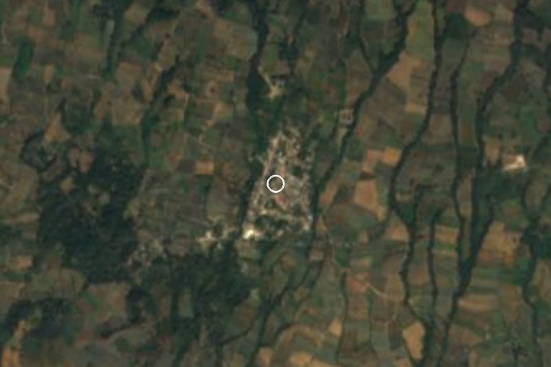
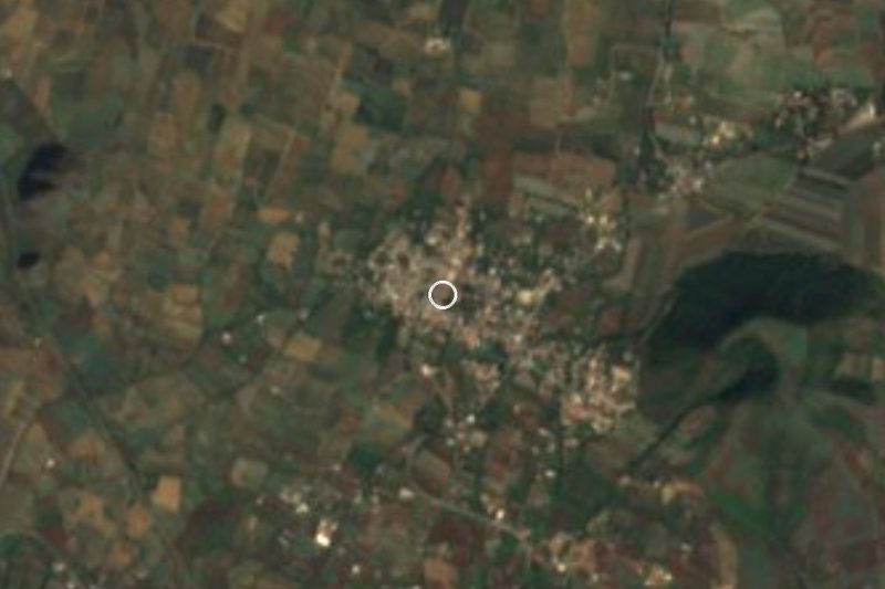

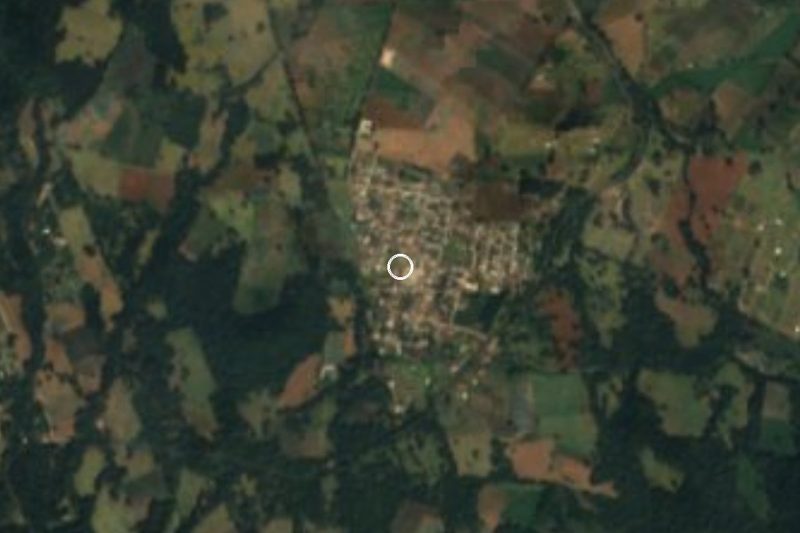
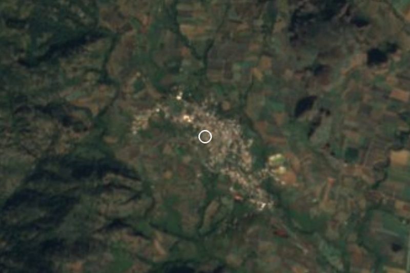
Plan your visit to Nepopualco
Where to stay near Nepopualco
Compare hotels, posadas and guest houses in Nepopualco.
Tours to Nepopualco
Day trips and guided outings from Tlayacapan often include Nepopualco; with a local guide you can get there without a car.
 Tours from Cuernavaca
3hr Cooking Class in Cuernavaca 8 Recipes and Bottomless Drinks
From US$59
How to get to Nepopualco
- From Cuautla: about 30 min by road (~25 km)
- Nearest airport: Mexico City (MEX), 1 h 33 min by car to Tlayacapan
Links open a partner site. We may earn a commission if you book, at no cost to you.
Tours from Cuernavaca, near Nepopualco


Tours, prices and ratings from Viator, checked weekly. We may earn a commission if you book.
About Nepopualco
Nepopualco is the second-largest village in the municipality of Totolapan, after the seat itself: the 2020 census counted 2,673 people, against 6,798 in Totolapan. It lies at about 2,048 m above sea level, in the highlands of northern Morelos, with a cool, mild climate: about 17 °C on average through the year and around 1,800 mm of rain, January the coldest month and September the wettest, according to Pueblos de América.
The name comes from Nahuatl nepopoalli, to count, plus the locative suffix -co, and is read as the place where one counts. The village centre is taken up by the church of Santa María Nepopualco, with a salmon-coloured façade and a two-tier bell tower with a clock, set on a paved plaza that fills with papel picado and crowds at fiesta time. Pilgrimages from Nepopualco, with those of other Totolapan communities, join the feria of the Cristo Aparecido, held in the seat on the fifth Friday of Lent and one of the best-attended religious festivals in the region.
Totolapan, about 2.9 km away, keeps the Augustinian convent of San Guillermo, founded in 1536 with its church finished in 1545, one of the oldest convents in Mexico. Nepopualco has no registered hotels; the nearest are about 3 km to the east. Tlayacapan, a Pueblo Mágico with its own ex-convent, is 9 km away, and the hills nearby include Tepeytualco (2,038 m) and Santa Bárbara (1,965 m).
How to get to Nepopualco
Drive from Cuautla: 30 min, 25 km
By car: Nepopualco is 2.9 km northwest of Totolapan and about 9 km from Tlayacapan (roughly 10 minutes by car). The usual way is to reach the Pueblo Mágico of Tlayacapan and continue toward Totolapan, the municipal seat, which Wikipedia puts about 59 km northeast of Cuernavaca; Nepopualco sits on Totolapan's edge. From Cuautla it is about 19 km in a straight line (roughly 30 minutes by road, to be confirmed) and from Tepoztlán about 30 km (about 23 minutes according to Pueblos de América). From Mexico City take the 115D toward Cuautla or the 95D to Cuernavaca and climb toward the Tlayacapan area.
By public transport: buses run from TAPO to Cuautla or from Terminal Sur (Taxqueña) to Cuernavaca, then combis or taxis go on to Tlayacapan and Totolapan; we found no published routes or timetables, so ask at the Tlayacapan stop. Residents report irregular transport and poor roads in the rainy season.
Directions to Nepopualco on Google Maps
Distances are in a straight line; the road is usually longer.
Links open a partner site. We may earn a commission if you book, at no cost to you.
From the nearest cities to Nepopualco
- Cuautla · 25 km by road, 30 min
- Cuernavaca · 59 km by road, 1 h 5 min
- Atlixco · 100 km by road, 1 h 20 min
Drive times by road from OpenStreetMap, without traffic or stops. Times marked ~ are estimated from the straight-line distance.
Before you go to Nepopualco: hours, prices and tips
- Best season
- The feria of the Cristo Aparecido in Totolapan, which Nepopualco's pilgrimages join, falls on the fifth Friday of Lent, so its date shifts with Easter. Tesis UNAM sobre la religiosidad en Totolapan · checked Oct 2026
Hours and prices change, especially around holidays. Each fact links to where we checked it.
Visiting Nepopualco: what to see and do
Step into the church of Santa María Nepopualco and its salmon-coloured plaza.
Walk the village streets at fiesta time, when they are hung with papel picado.
Go to Totolapan (2.9 km) for the Augustinian ex-convent of San Guillermo, begun in 1536.
Visit Tlayacapan, 9 km away, a Pueblo Mágico with its ex-convent.
Look out at the nearby hills, such as Tepeytualco, 2.4 km to the west.
Plan your trip
Places to stay in Nepopualco
Compare hotels, posadas, and rentals in and around Nepopualco.
Tours & activities
Day trips and guided outings from Tlayacapan often include Nepopualco; with a local guide you can get there without a car.
Rental cars
Pick up a car at MEX (Mexico City): about 1 h 33 min by road to Tlayacapan, then 6 km more to Nepopualco, on your own schedule.
Flights
The nearest airport with scheduled flights is Mexico City (MEX), about 1 h 33 min by road from Tlayacapan, the base for Nepopualco.
Mobile data
Signal can drop away from Tlayacapan: download a map of the way to Nepopualco before you set out, or carry an eSIM with data.
Links open a partner site. We may earn a commission if you book, at no cost to you.
When to go to Nepopualco mild
Nepopualco shares the climate of Tlayacapan, 6 km away. The best months to visit are January, February, March, and December.
See the month-by-month climate of Tlayacapan
Weather in Nepopualco now and the next 7 days
Live forecast from Open-Meteo. Chance of rain is the day's highest.
The closest Pueblo Mágico: Tlayacapan

Tlayacapan is the Pueblo Mágico closest to Nepopualco, with places to stay, food, and more to see.
Also close to
- Tepoztlán · Morelos · 16 km away
- Tlaltizapán · Morelos · 40 km away
- Xochitepec · Morelos · 45 km away
- Atlixco · Puebla · 55 km away
- Huejotzingo · Puebla · 59 km away
Closest to Nepopualco
-
El Vigía · Village · 2 km away
-
San Andrés Cuauhtempan · Village · 3 km away
-
Templo y exconvento de San Guillermo · Landmark · 3 km away
-
Totolapan · Town · 3 km away
-
Felipe Neri · Village · 5 km away
-
San José de los Laureles · Village · 6 km away
-
Tlalnepantla · Village · 6 km away
-
San Juan Texcalpan · Village · 7 km away

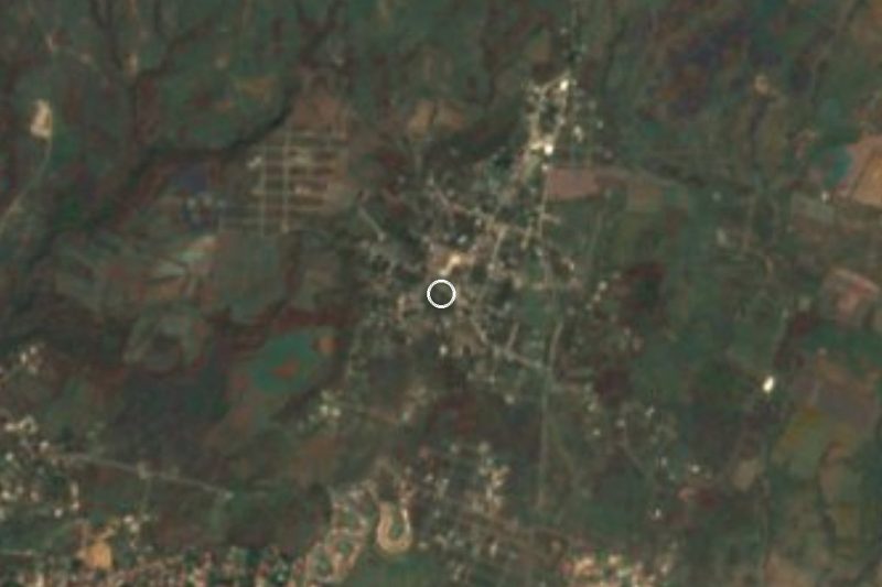
Near Nepopualco



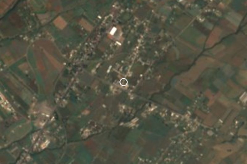


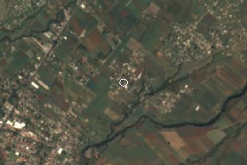
Drive times by road from OpenStreetMap, without traffic. Times marked ~ are estimated from the straight-line distance.
Location from OpenStreetMap. Written by Puebloteca.