Village Tlalnepantla, Morelos Municipality of Tlalnepantla Monasteries on the slopes of Popocatépetl Northern Morelos
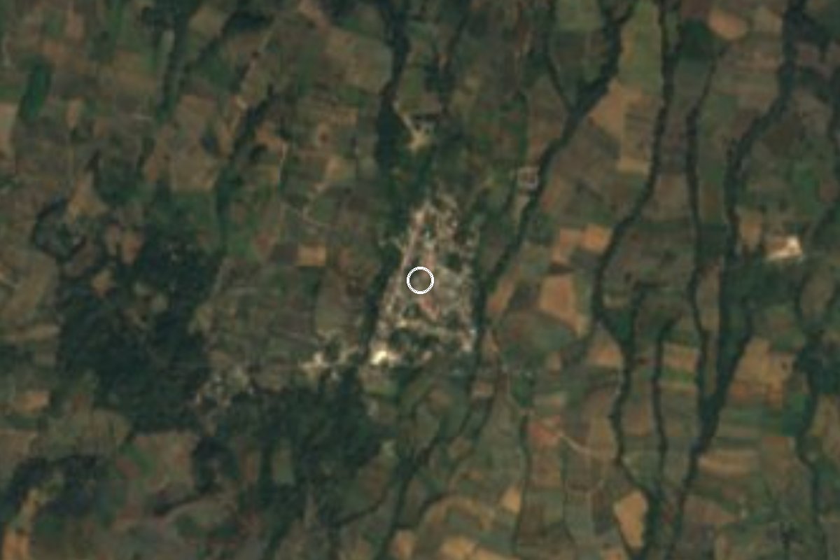
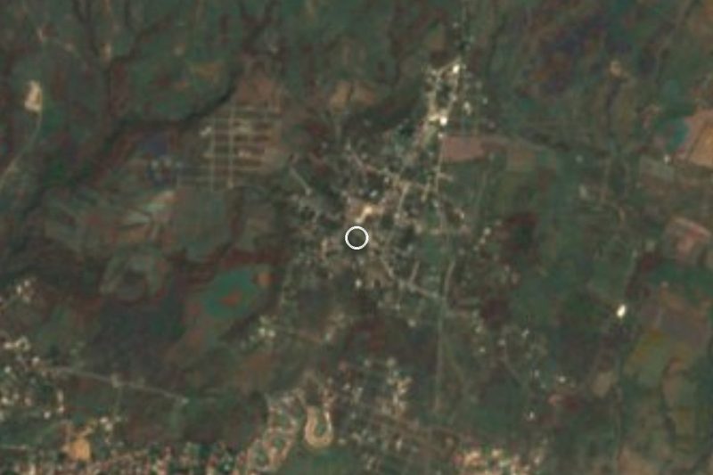
Once San Nicolás del Monte, at 2,181 m in northern Morelos: nopal fields, the church of San Nicolás and the road to Tlayacapan.
From Cuautla: 35 min by car (30 km by road) How to get there ↓
Near here
See everything nearby ↓


Plan your visit to El Vigía
Where to stay near El Vigía
Compare hotels, posadas and guest houses in El Vigía.
Tours to El Vigía
Day trips and guided outings from Tlayacapan often include El Vigía; with a local guide you can get there without a car.
 Tours from Cuernavaca
3hr Cooking Class in Cuernavaca 8 Recipes and Bottomless Drinks
From US$59
How to get to El Vigía
- From Cuautla: about 35 min by road (~30 km)
- Nearest airport: Mexico City (MEX), 1 h 33 min by car to Tlayacapan
Links open a partner site. We may earn a commission if you book, at no cost to you.
Tours from Cuernavaca, near El Vigía


Tours, prices and ratings from Viator, checked weekly. We may earn a commission if you book.
About El Vigía
Until 1973 the village was called San Nicolás del Monte, and many maps and directories still list it that way. The current name dates from the Revolution: Spanish Wikipedia says a lookout was posted at the village entrance to warn of approaching troops. English Wikipedia adds that the place stayed isolated until federal highway 113 was built, with the renaming around the same time. The village grew out of the barrios of San Miguel, San Francisco, San Pedro and San Lucas.
It sits at about 2,180 metres in the upper part of Tlalnepantla municipality, the least populous in Morelos. It is the municipality's third-largest locality: the 2020 census counted 1,018 people, up from 832 in 2010 and 745 in 2005. The climate is cool highland, averaging 16.3 °C with heavy summer rain. Nopal fields spread around it, since edible nopal is the municipality's main crop and supplies Mexico City's Central de Abasto.
The Tlalnepantla town council's tourism page lists the Iglesia de San Nicolás among El Vigía's monuments and mentions a feast of San Nicolás on 10 September, without saying whether it is held here or in the municipal seat. Ask locally before planning a trip around that date.
There is no built-up attraction here. It is a working mountain farming village a few kilometres from Tlalnepantla and Tlayacapan, useful for seeing how the nopal economy of northern Morelos looks on the ground.
How to get to El Vigía
Drive from Cuautla: 35 min, 30 km
By road: El Vigía lies along federal highway 113, which links it with Cuautla. English Wikipedia gives about 29 km and 46 minutes from Cuautla on the 113. Cuernavaca is about 51 km away (around 1 h 13 min via federal 113 and 160) and Mexico City's Zócalo about 88 km (nearly 2 hours via the 113 and 150D). From Tepoztlán it is about 39 km.
From Tlayacapan, the nearest convent town, it is about 9 km (roughly 11 minutes by car). Tlalnepantla, the municipal seat, is about 4 km west in a straight line.
By public transport: from Mexico City's Terminal Sur (Taxqueña), a route planner suggests going to Tepoztlán and taking a taxi on to Tlalnepantla (roughly 1 h 35 min). From Cuautla, Estrella Roja runs to Tlayacapan hourly according to Rome2Rio (50 to 60 minutes); from Tlayacapan you need local transport or a taxi. We found no published timetable for direct combis to El Vigía, so ask at the combi stands in Tlalnepantla or Tlayacapan.
Directions to El Vigía on Google Maps
Distances are in a straight line; the road is usually longer.
Links open a partner site. We may earn a commission if you book, at no cost to you.
From the nearest cities to El Vigía
- Cuautla · 30 km by road, 35 min
- Cuernavaca · 59 km by road, 1 h 5 min
- Mexico City · 64 km by road, 1 h 25 min
Drive times by road from OpenStreetMap, without traffic or stops. Times marked ~ are estimated from the straight-line distance.
Visiting El Vigía: what to see and do
Walk the nopal fields around the village.
Step into the Iglesia de San Nicolás, listed by the town council among El Vigía's monuments.
Ask about the San Nicolás feast, which the municipal site places on 10 September.
Continue to Tlalnepantla (about 4 km in a straight line) for the former convent and Pentecost parish.
Drop down to Tlayacapan, about 9 km away, for lunch and its convent.
Plan your trip
Places to stay in El Vigía
Compare hotels, posadas, and rentals in and around El Vigía.
Tours & activities
Day trips and guided outings from Tlayacapan often include El Vigía; with a local guide you can get there without a car.
Rental cars
Pick up a car at MEX (Mexico City): about 1 h 33 min by road to Tlayacapan, then 7 km more to El Vigía, on your own schedule.
Flights
The nearest airport with scheduled flights is Mexico City (MEX), about 1 h 33 min by road from Tlayacapan, the base for El Vigía.
Mobile data
Signal can drop away from Tlayacapan: download a map of the way to El Vigía before you set out, or carry an eSIM with data.
Links open a partner site. We may earn a commission if you book, at no cost to you.
When to go to El Vigía mild
El Vigía shares the climate of Tlayacapan, 7 km away. The best months to visit are January, February, March, and December.
See the month-by-month climate of Tlayacapan
Weather in El Vigía now and the next 7 days
Live forecast from Open-Meteo. Chance of rain is the day's highest.
The closest Pueblo Mágico: Tlayacapan

Tlayacapan is the Pueblo Mágico closest to El Vigía, with places to stay, food, and more to see.
Also close to
- Tepoztlán · Morelos · 15 km away
- Tlaltizapán · Morelos · 41 km away
- Xochitepec · Morelos · 44 km away
- Atlixco · Puebla · 57 km away
- Malinalco · Estado de México · 57 km away
Closest to El Vigía
-
Nepopualco · Village · 2 km away
-
Felipe Neri · Village · 4 km away
-
San Andrés Cuauhtempan · Village · 4 km away
-
Tlalnepantla · Village · 4 km away
-
Templo y exconvento de San Guillermo · Landmark · 5 km away
-
Totolapan · Town · 5 km away
-
San José de los Laureles · Village · 6 km away
-
Zona Arqueológica El Tlatoani · Archaeological site · 7 km away

Near El Vigía
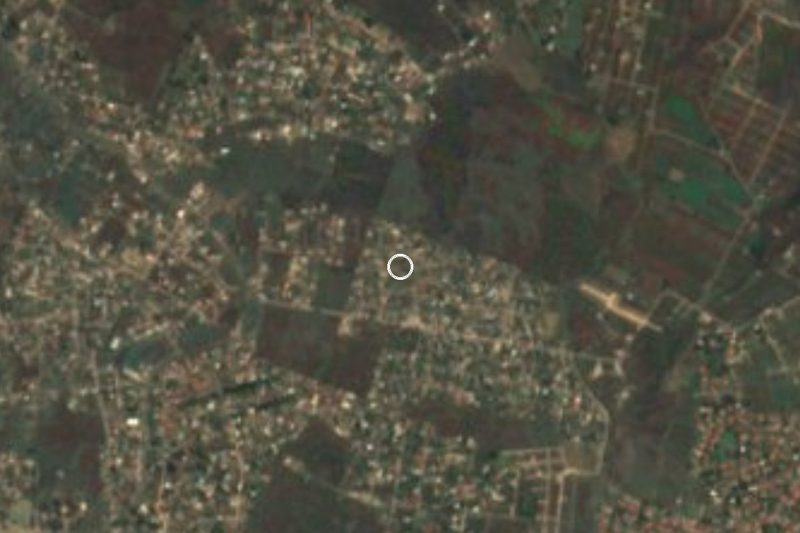



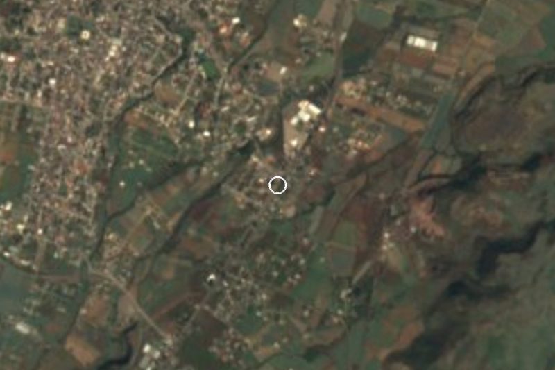

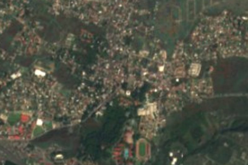

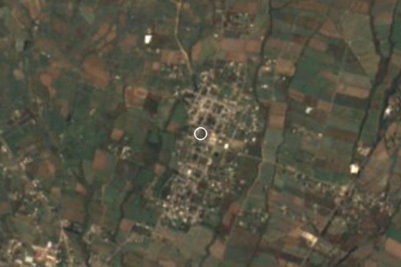
Drive times by road from OpenStreetMap, without traffic. Times marked ~ are estimated from the straight-line distance.
Location from OpenStreetMap. Written by Puebloteca.