Village Tlalnepantla, Morelos Municipality of Tlalnepantla Monasteries on the slopes of Popocatépetl Northern Morelos
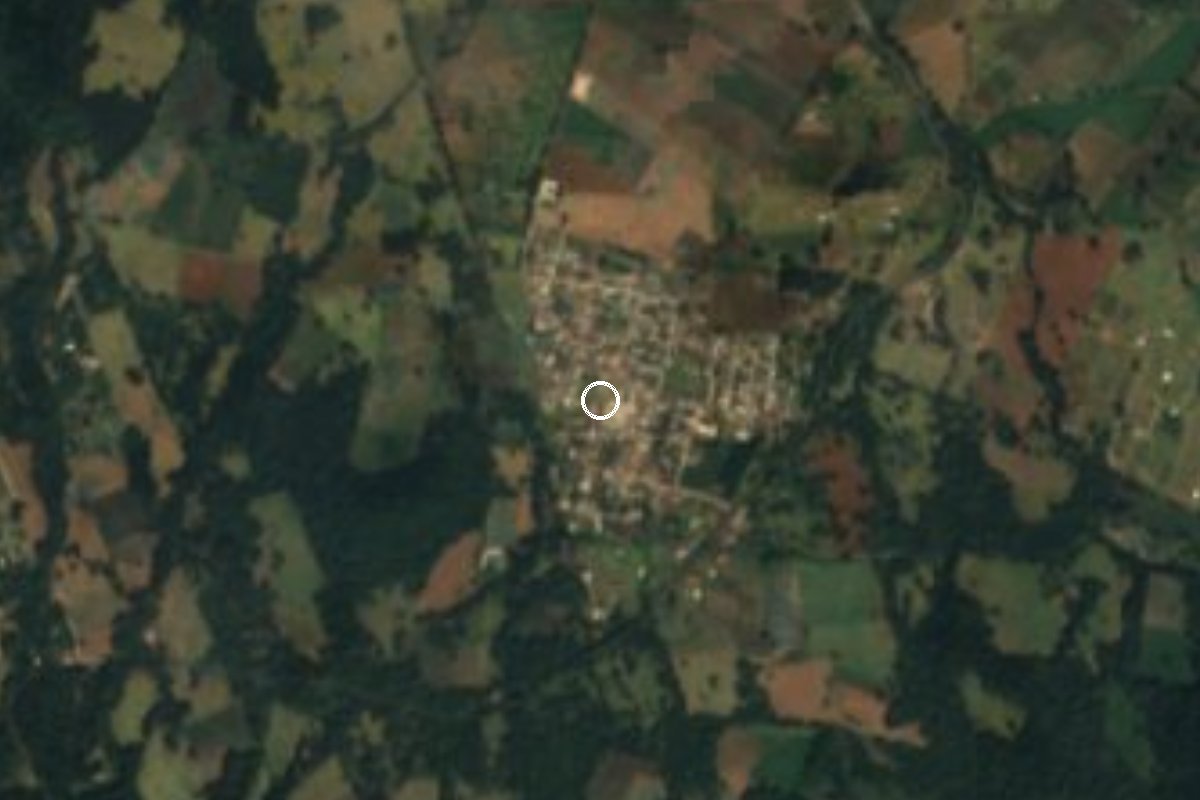
Mountain village in Tlalnepantla at about 2,560 m: nopal fields, cool forest and the ruins of the Coatepec hacienda.
From Cuautla: 40 min by car (34 km by road) How to get there ↓
Near here
See everything nearby ↓



Plan your visit to Felipe Neri
Where to stay near Felipe Neri
Compare hotels, posadas and guest houses in Felipe Neri.
Tours to Felipe Neri
Day trips and guided outings from Tlayacapan often include Felipe Neri; with a local guide you can get there without a car.
 Tours from Cuernavaca
3hr Cooking Class in Cuernavaca 8 Recipes and Bottomless Drinks
From US$59
How to get to Felipe Neri
- From Cuautla: about 40 min by road (~34 km)
- Nearest airport: Mexico City (MEX), 1 h 33 min by car to Tlayacapan
Links open a partner site. We may earn a commission if you book, at no cost to you.
Tours from Cuernavaca, near Felipe Neri


Tours, prices and ratings from Viator, checked weekly. We may earn a commission if you book.
About Felipe Neri
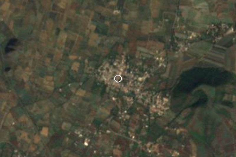
At about 2,560 metres, Felipe Neri is one of the highest villages in northern Morelos and the second most populous locality in Tlalnepantla, with 1,640 residents in the 2020 census. The air stays cool all year, around 14 °C on average with plenty of rain, and the surrounding hills top 2,500 m, among them Cuatepec, under a kilometre away, and Teziolo.
It used to be called Coatepec, a Nahuatl name meaning "on the hill of the serpents". The present name honours Felipe Neri, a Zapatista leader who was killed by another revolutionary general, Antonio Barona Rojas; the village celebrates its founding every 8 February. From colonial times there remain the ex hacienda de Coatepec, looted and burned during the Revolution and now in ruins, and the church of La Concepción.
Life here revolves around the fields. In Tlalnepantla nearly nine out of ten farm plots grow nopal for eating, sold in Mexico City and other cities across the country; peaches, pears and avocados are grown too. The village has no hotels and the closest are 7 to 10 km away, so it works best as one stop in a loop through the villages of northern Morelos: Tlayacapan is about 14 to 17 km off, and Totolapan, with its convent of San Guillermo, a few kilometres away.
How to get to Felipe Neri
Drive from Cuautla: 40 min, 34 km
Felipe Neri lies about 7 km northeast of the seat, Tlalnepantla, in a straight line. From Mexico City, Tlalnepantla is about 88 km via Highway 150D (Mexico-Puebla) and federal Highway 113; from Cuernavaca about 51 km via Highways 113 and 160, and from Cuautla about 29 km via Highway 113. Tepoztlán is roughly 39 km away by Highways 113 and 115D. Once in Tlalnepantla follow the signs for Felipe Neri; the last stretch is mountain road and worth checking on a current map.
From Tlayacapan, the nearest pueblo on our list, it is about 14 to 17 km, 15 to 20 minutes (approx.). From Cuautla, the nearest city, allow about 25 to 40 minutes. By bus, go to Cuautla (buses to Cuautla leave from TAPO in Mexico City) and look for colectivos toward Tlalnepantla; we found no current schedules or fares for the Felipe Neri route, so ask at the terminal.
Directions to Felipe Neri on Google Maps
Distances are in a straight line; the road is usually longer.
Links open a partner site. We may earn a commission if you book, at no cost to you.
From the nearest cities to Felipe Neri
- Cuautla · 34 km by road, 40 min
- Cuernavaca · 66 km by road, 1 h 15 min
- Mexico City · 60 km by road, 1 h 20 min
Drive times by road from OpenStreetMap, without traffic or stops. Times marked ~ are estimated from the straight-line distance.
Visiting Felipe Neri: what to see and do
Walk the village and step into the church of La Concepción.
Look for the ruins of the ex hacienda de Coatepec, burned during the Revolution.
Take in the nopal fields that cover the slopes, the crop the region lives on.
Trek the tracks up Cerro Cuatepec and Cerro Teziolo, both above 2,500 m.
Visit the convent of San Guillermo in Totolapan, a few kilometres away.
Eat at the market stalls and fondas of Tlalnepantla and Totolapan.
Plan your trip
Places to stay in Felipe Neri
Compare hotels, posadas, and rentals in and around Felipe Neri.
Tours & activities
Day trips and guided outings from Tlayacapan often include Felipe Neri; with a local guide you can get there without a car.
Rental cars
Pick up a car at MEX (Mexico City): about 1 h 33 min by road to Tlayacapan, then 10 km more to Felipe Neri, on your own schedule.
Flights
The nearest airport with scheduled flights is Mexico City (MEX), about 1 h 33 min by road from Tlayacapan, the base for Felipe Neri.
Mobile data
Signal can drop away from Tlayacapan: download a map of the way to Felipe Neri before you set out, or carry an eSIM with data.
Links open a partner site. We may earn a commission if you book, at no cost to you.
When to go to Felipe Neri mild
Felipe Neri shares the climate of Tlayacapan, 10 km away. The best months to visit are January, February, March, and December.
See the month-by-month climate of Tlayacapan
Weather in Felipe Neri now and the next 7 days
Live forecast from Open-Meteo. Chance of rain is the day's highest.
The closest Pueblo Mágico: Tlayacapan

Tlayacapan is the Pueblo Mágico closest to Felipe Neri, with places to stay, food, and more to see.
Also close to
- Tepoztlán · Morelos · 17 km away
- Tlaltizapán · Morelos · 44 km away
- Xochitepec · Morelos · 47 km away
- Atlixco · Puebla · 56 km away
- Huejotzingo · Puebla · 58 km away
Closest to Felipe Neri
-
El Vigía · Village · 4 km away
-
Nepopualco · Village · 5 km away
-
Templo y exconvento de San Guillermo · Landmark · 6 km away
-
San Andrés Cuauhtempan · Village · 7 km away
-
Tlalnepantla · Village · 7 km away
-
Totolapan · Town · 7 km away
-
San José de los Laureles · Village · 9 km away
-
Juchitepec de Mariano Riva Palacio · Town · 10 km away

Near Felipe Neri



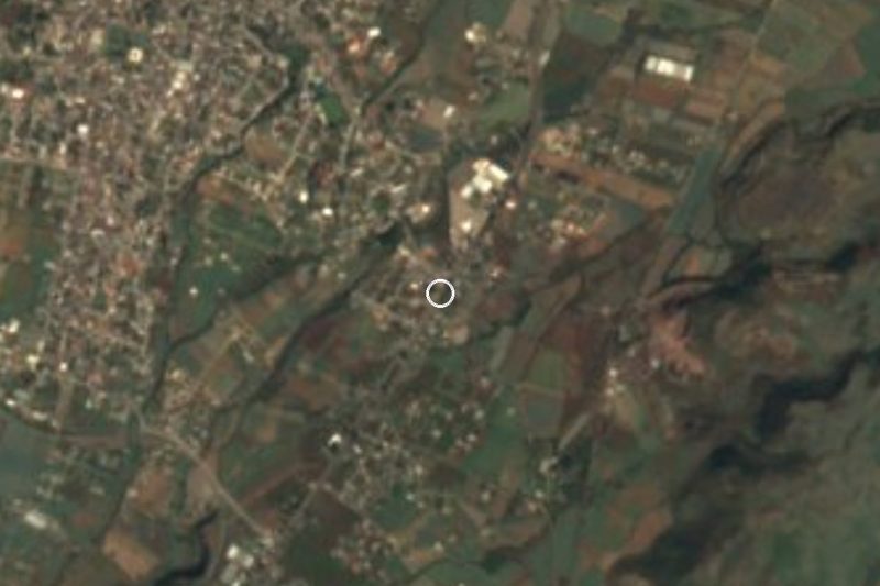

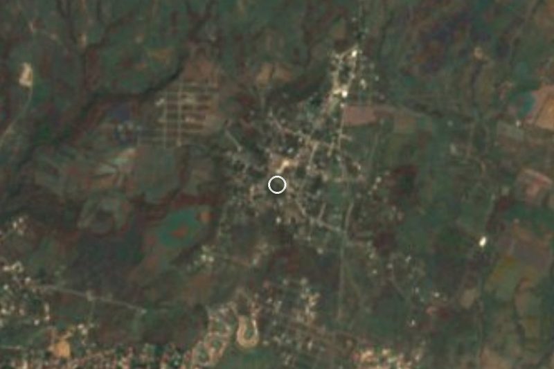
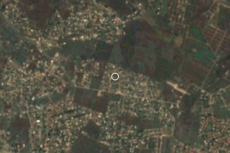
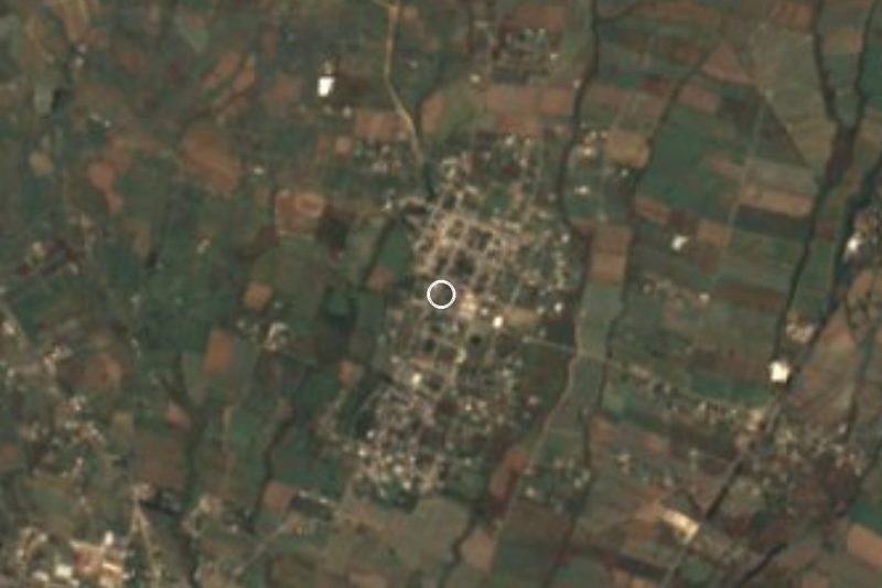


Drive times by road from OpenStreetMap, without traffic. Times marked ~ are estimated from the straight-line distance.
Location from OpenStreetMap. Written by Puebloteca.