Village Milpa Alta, Ciudad de México Municipality of Milpa Alta Valley of Mexico
A Milpa Alta pueblo among cornfields and nopal, with a 17th-century church, living Nahuatl and the feast of Santa Ana on 26 July.
From Mexico City: 55 min by car (39 km by road) How to get there ↓
Near here
See everything nearby ↓


Plan your visit to Santa Ana Tlacotenco
Where to stay near Santa Ana Tlacotenco
Compare hotels, posadas and guest houses in Santa Ana Tlacotenco.
Tours to Santa Ana Tlacotenco
Day trips and guided outings from Tepoztlán often include Santa Ana Tlacotenco; with a local guide you can get there without a car.
 Tours from Mexico City
Teotihuacan pyramids morning or afternoon without tourist traps
★ 4.9 (10,269) · From US$59
How to get to Santa Ana Tlacotenco
- From Mexico City: about 55 min by road (~39 km)
- Nearest airport: Mexico City (MEX), 1 h 25 min by car to Tepoztlán
Links open a partner site. We may earn a commission if you book, at no cost to you.
Tours from Mexico City, near Santa Ana Tlacotenco


Tours, prices and ratings from Viator, checked weekly. We may earn a commission if you book.
About Santa Ana Tlacotenco
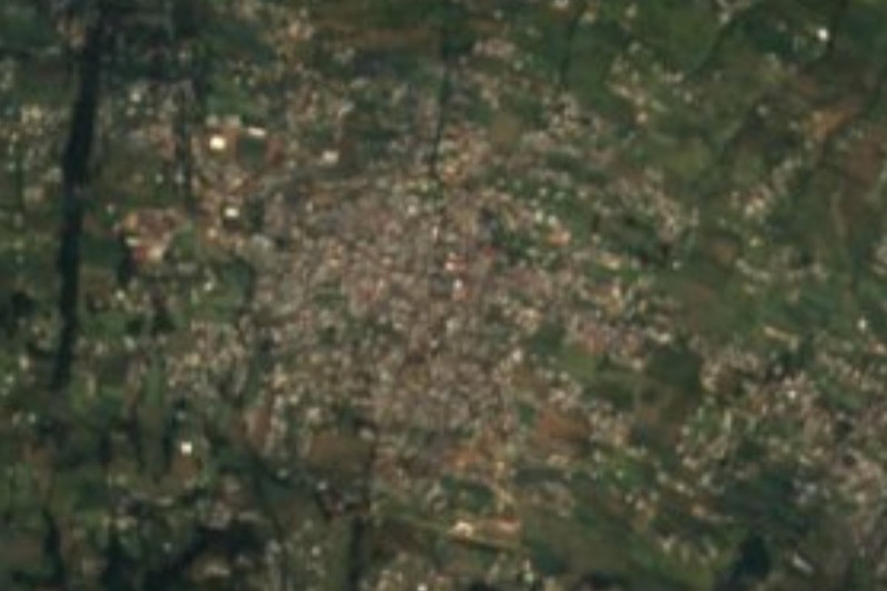
Santa Ana Tlacotenco is one of the twelve original pueblos of Milpa Alta, at the far south of Mexico City, ringed by cornfields and nopal groves on the slopes of Cerro San Miguel. From its southern edge the Tláloc and Ocotécatl volcanoes just show, near the Morelos border. The Nahuatl name is read as "at the edge of the scrubland"; Santa Ana was added with evangelisation, and the present form of the name dates to about 1532. It had 10,593 residents in 2010, spread over four barrios: San Marcos, San Miguel, San José and La Guadalupita.
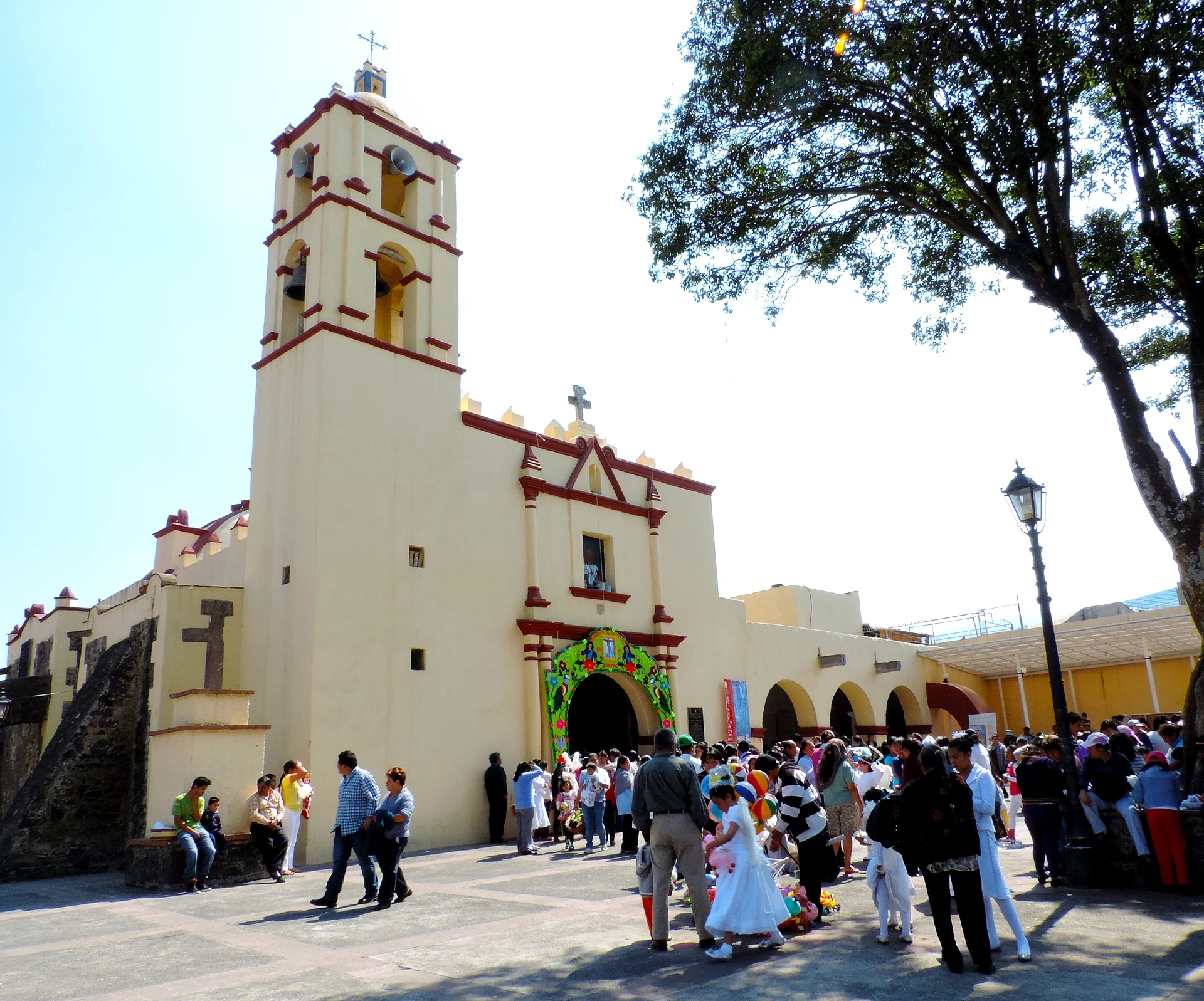
The main building is the church of Nuestra Señora de Santa Ana, from the 17th century and raised over an older ceremonial site. It has a single nave with a transept, a dome, a bell tower, a choir, a wooden floor and a plain Renaissance doorway. It was declared a historic monument in 1933 and restored after the 2017 earthquake. The zócalo faces the churchyard; the market stands at the corner of Cuauhtémoc and Avenida Casas Alemán, and on Benito Juárez, south of the plaza, sits the Academia de la Lengua y Cultura Náhuatl, which makes Tlacotenco one of the places where Nahuatl is still spoken daily.
The date to come is 26 July, the day of Santa Ana. Preparations start more than a month ahead, the barrios run the mayordomías, and the churchyard fills with dances: aztequitas, tlacualeras, pastoras, vaqueros, charros and, the best known, moros y cristianos. Afterwards people visit the houses hosting the feast, where mole, rice and tamales are served. San Juan Tepenáhuac is 1.3 km away, and during the Revolution this area saw fighting between Zapatistas and federal troops.
How to get to Santa Ana Tlacotenco
Drive from Mexico City: 55 min, 39 km
The way in is through Milpa Alta. The borough's main road is the Xochimilco–Oaxtepec federal highway, which enters at San Pedro Atocpan and runs south-east toward Morelos; branches climb from the upper slopes to Miacatlán, Tepenáhuac and Tlacotenco. By public transport the published routes start from two points: the Metro Tláhuac terminal (Line 12), with yellow RTP buses (2 pesos), Ruta 21 combis and Ruta 30 microbuses and combis toward Milpa Alta, and Metro Taxqueña (Line 2), where Motoxcomitl's corridor 25 runs to Milpa Alta (8 pesos by card). No source lists a direct bus to Tlacotenco; there are routes that link the pueblos with each other, so the last leg has to be settled with local transport. Between Metro Tláhuac and Villa Milpa Alta the trip tends to take one to one and a half hours. By ride-hail, a trip from Tlacotenco to Metro Tláhuac averages about 199 pesos. Pink-and-white sitio taxis in Milpa Alta run around the clock.
Directions to Santa Ana Tlacotenco on Google Maps
Distances are in a straight line; the road is usually longer.
Links open a partner site. We may earn a commission if you book, at no cost to you.
From the nearest cities to Santa Ana Tlacotenco
- Mexico City · 39 km by road, 55 min
- Cuautla · 55 km by road, 1 h 5 min
- Cuernavaca · 63 km by road, 1 h 25 min
Drive times by road from OpenStreetMap, without traffic or stops. Times marked ~ are estimated from the straight-line distance.
Before you go to Santa Ana Tlacotenco: hours, prices and tips
- Best time of day
- 26 July for the feast; the rest of the year the village is quiet farm country with cornfields and nopal. Mexico City tourism site (mexicocity.cdmx.gob.mx) · checked Oct 2026
- Best season
- The feast of Santa Ana is on 26 July, with dances in the churchyard (moros y cristianos is the best known) and mole, rice and tamales at the host houses; the barrios begin preparing over a month before. Mexico City tourism site (mexicocity.cdmx.gob.mx) · checked Oct 2026
Hours and prices change, especially around holidays. Each fact links to where we checked it.
Visiting Santa Ana Tlacotenco: what to see and do
The church of Nuestra Señora de Santa Ana (17th century, historic monument since 1933), with its Renaissance doorway and bell tower.
The zócalo facing the churchyard, where the feast dances are performed on 26 July.
The Academia de la Lengua y Cultura Náhuatl, on Benito Juárez south of the zócalo.
The market, at Cuauhtémoc and Avenida Casas Alemán.
The cornfields and nopal groves on the slopes of Cerro San Miguel.
San Juan Tepenáhuac and its church of San Juan Bautista, 1.3 km away.
Plan your trip
Places to stay in Santa Ana Tlacotenco
Compare hotels, posadas, and rentals in and around Santa Ana Tlacotenco.
Tours & activities
Day trips and guided outings from Tepoztlán often include Santa Ana Tlacotenco; with a local guide you can get there without a car.
Rental cars
Pick up a car at MEX (Mexico City): about 1 h 25 min by road to Tepoztlán, then 24 km more to Santa Ana Tlacotenco, on your own schedule.
Flights
The nearest airport with scheduled flights is Mexico City (MEX), about 1 h 25 min by road from Tepoztlán, the base for Santa Ana Tlacotenco.
Mobile data
Signal can drop away from Tepoztlán: download a map of the way to Santa Ana Tlacotenco before you set out, or carry an eSIM with data.
Links open a partner site. We may earn a commission if you book, at no cost to you.
When to go to Santa Ana Tlacotenco mild
Santa Ana Tlacotenco shares the climate of Tepoztlán, 24 km away. The best months to visit are January, February, March, and December.
See the month-by-month climate of Tepoztlán
Weather in Santa Ana Tlacotenco now and the next 7 days
Live forecast from Open-Meteo. Chance of rain is the day's highest.
The closest Pueblo Mágico: Tepoztlán

Tepoztlán is the Pueblo Mágico closest to Santa Ana Tlacotenco, with places to stay, food, and more to see.
Also close to
- Tlayacapan · Morelos · 25 km away
- Xochitepec · Morelos · 54 km away
- Tlaltizapán · Morelos · 56 km away
- Malinalco · Estado de México · 58 km away
- Teotihuacán · Estado de México · 60 km away
Closest to Santa Ana Tlacotenco
-
San Agustín Ohtenco · Village · 2 km away
-
Milpa Alta · Town · 3 km away
-
San Antonio Tecómitl · Village · 5 km away
-
Volcán Teuhtli · Mountain · 5 km away
-
San Pedro Atocpan · Village · 6 km away
-
Lago de Chalco · Lake · 10 km away
-
Lago de los Reyes Aztecas · Lake · 10 km away
-
San Salvador Cuauhtenco · Town · 10 km away

Near Santa Ana Tlacotenco


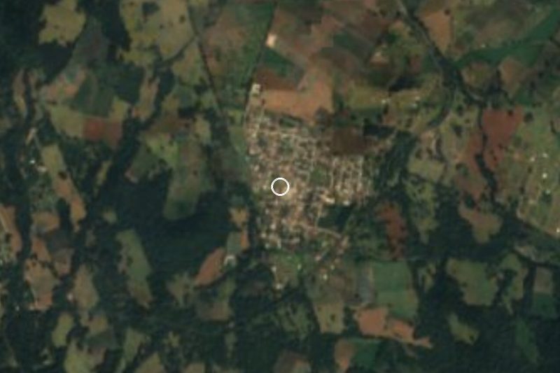


Drive times by road from OpenStreetMap, without traffic. Times marked ~ are estimated from the straight-line distance.
Location from OpenStreetMap. Written by Puebloteca.