Village Atlatlahucan, Morelos Municipality of Atlatlahucan Monasteries on the slopes of Popocatépetl Northern Morelos
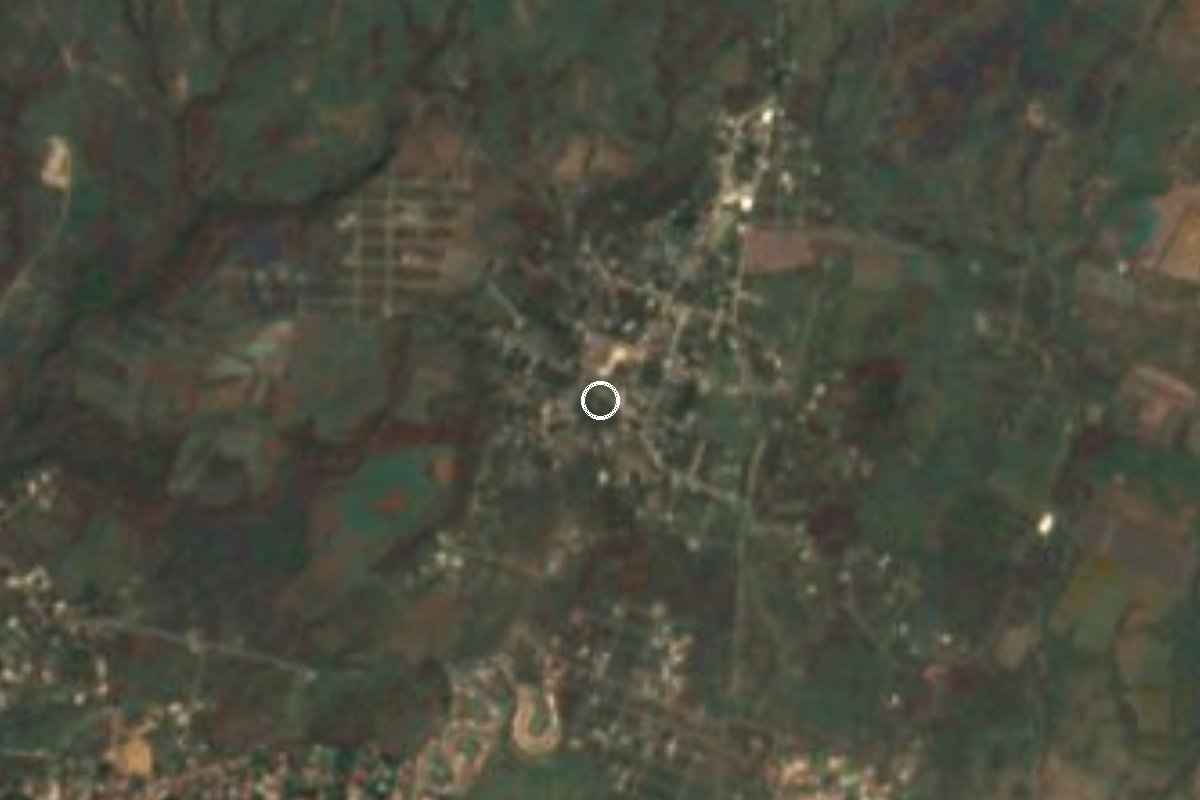
Atlatlahucan village at about 1,600 m, Nahuatl for 'place of crags', with a San Juan Bautista fiesta every 24 June.
From Cuautla: 20 min by car (18 km by road) How to get there ↓
Near here
See everything nearby ↓


Plan your visit to San Juan Texcalpan
Where to stay near San Juan Texcalpan
Compare hotels, posadas and guest houses in San Juan Texcalpan.
Tours to San Juan Texcalpan
Day trips and guided outings from Tlayacapan often include San Juan Texcalpan; with a local guide you can get there without a car.
 Tours from Cuernavaca
3hr Cooking Class in Cuernavaca 8 Recipes and Bottomless Drinks
From US$59
How to get to San Juan Texcalpan
- From Cuautla: about 20 min by road (~18 km)
- Nearest airport: Mexico City (MEX), 1 h 33 min by car to Tlayacapan
Links open a partner site. We may earn a commission if you book, at no cost to you.
Tours from Cuernavaca, near San Juan Texcalpan


Tours, prices and ratings from Viator, checked weekly. We may earn a commission if you book.
About San Juan Texcalpan
The name Texcalpan comes from the Nahuatl texcalli, crag, and pan, a locative: roughly "place of crags". Its patron is John the Baptist, honoured every 24 June according to the municipal encyclopaedias, a date that shares the Atlatlahucan calendar with San Mateo on 21 September in the seat itself and San Miguel Arcángel on 29 September in Tlaltetelco.
The village stands at about 1,600 m, some 3 km west of Atlatlahucan, so the former convent of San Mateo Apóstol is a short hop away. It belongs to the sixteenth-century monasteries on the slopes of Popocatépetl that UNESCO listed as World Heritage in 1994. With 1,505 residents in 2020 it is the fourth largest of the municipality's 56 localities, and it has grown from 1,043 in 2005 and 1,162 in 2010. About 46% of people over 12 are employed, and home internet access rose from 5.7% of households in 2010 to 31.2% in 2020.
The climate is subtropical with a dry winter: a mean annual temperature near 19.7 °C and about 1,380 mm of rain, with January the coolest month and April the warmest. There is no lodging in the village itself; the nearest hotels are 6 to 7 km away in and around Atlatlahucan. Its postal code is 62847.
How to get to San Juan Texcalpan
Drive from Cuautla: 20 min, 18 km
Texcalpan is about 3 km west of Atlatlahucan. From Tlayacapan it is some 9 to 11 km, around 11 minutes by car, and Cuautla is about 12 km straight-line (roughly 15 to 20 minutes). Atlatlahucan lies about 91 km from Mexico City according to Wikipedia; the usual drive leaves on the México-Cuautla highway and continues on the road to Atlatlahucan, so check the exit on a map.
Without a car, take a bus to Cuautla (Volcanes from TAPO; Pullman de Morelos from Terminal Sur in Taxqueña) and look there for a combi or taxi to Atlatlahucan; from the seat to Texcalpan a taxi is enough. We could not find a published colectivo timetable, so ask at the stop.
Directions to San Juan Texcalpan on Google Maps
Distances are in a straight line; the road is usually longer.
Links open a partner site. We may earn a commission if you book, at no cost to you.
From the nearest cities to San Juan Texcalpan
- Cuautla · 18 km by road, 20 min
- Cuernavaca · 50 km by road, 50 min
- Atlixco · 93 km by road, 1 h 15 min
Drive times by road from OpenStreetMap, without traffic or stops. Times marked ~ are estimated from the straight-line distance.
Before you go to San Juan Texcalpan: hours, prices and tips
- Best season
- Patron saint's fiesta of San Juan Bautista on 24 June. Wikipedia, Atlatlahucan · checked Oct 2026
Hours and prices change, especially around holidays. Each fact links to where we checked it.
Visiting San Juan Texcalpan: what to see and do
Walk the village centre and look for the church of San Juan Bautista.
Come on 24 June for the patron saint's fiesta.
Look out for the crags that gave the place its name.
Go to Atlatlahucan, about 3 km away, and step into the former convent of San Mateo Apóstol.
Continue to Tlaltetelco on 29 September to compare the San Miguel fiesta.
Plan your trip
Places to stay in San Juan Texcalpan
Compare hotels, posadas, and rentals in and around San Juan Texcalpan.
Tours & activities
Day trips and guided outings from Tlayacapan often include San Juan Texcalpan; with a local guide you can get there without a car.
Rental cars
Pick up a car at MEX (Mexico City): about 1 h 33 min by road to Tlayacapan, then 6 km more to San Juan Texcalpan, on your own schedule.
Flights
The nearest airport with scheduled flights is Mexico City (MEX), about 1 h 33 min by road from Tlayacapan, the base for San Juan Texcalpan.
Mobile data
Signal can drop away from Tlayacapan: download a map of the way to San Juan Texcalpan before you set out, or carry an eSIM with data.
Links open a partner site. We may earn a commission if you book, at no cost to you.
When to go to San Juan Texcalpan mild
San Juan Texcalpan shares the climate of Tlayacapan, 6 km away. The best months to visit are January, February, March, and December.
See the month-by-month climate of Tlayacapan
Weather in San Juan Texcalpan now and the next 7 days
Live forecast from Open-Meteo. Chance of rain is the day's highest.
The closest Pueblo Mágico: Tlayacapan

Tlayacapan is the Pueblo Mágico closest to San Juan Texcalpan, with places to stay, food, and more to see.
Also close to
- Tepoztlán · Morelos · 19 km away
- Tlaltizapán · Morelos · 36 km away
- Xochitepec · Morelos · 43 km away
- Atlixco · Puebla · 53 km away
- Huejotzingo · Puebla · 60 km away
Closest to San Juan Texcalpan
-
Atlatlahucan · Town · 3 km away
-
Emiliano Zapata · Village · 3 km away
-
Lomas de Cocoyoc · Village · 3 km away
-
Monasterios en las faldas del Popocatépetl · Landmark · 3 km away
-
Templo y Exconvento de San Mateo Apóstol · Landmark · 3 km away
-
Kilómetro Ochenta y Ocho · Village · 4 km away
-
Balneario Ejidal El Bosque · Hot springs · 5 km away
-
Estadio Olímpico de Oaxtepec · Landmark · 5 km away
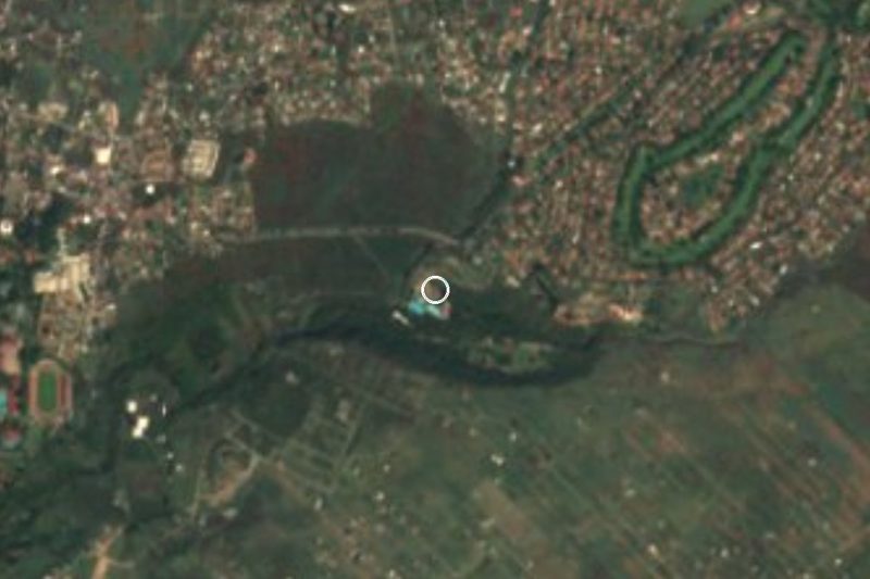
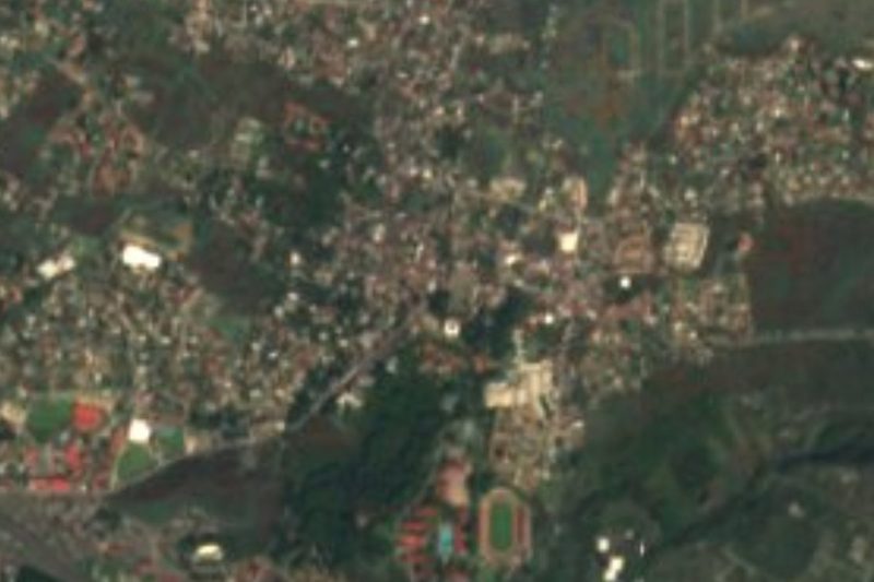
Near San Juan Texcalpan
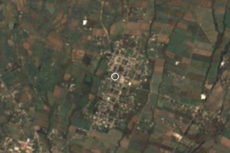



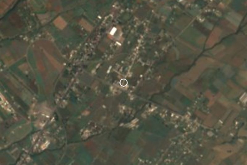
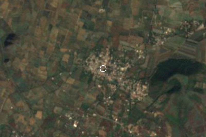

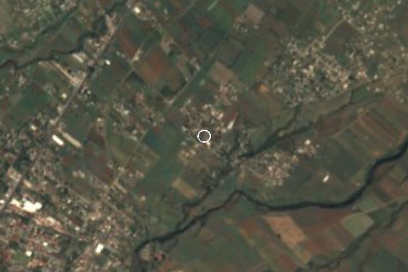
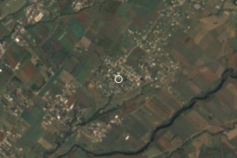
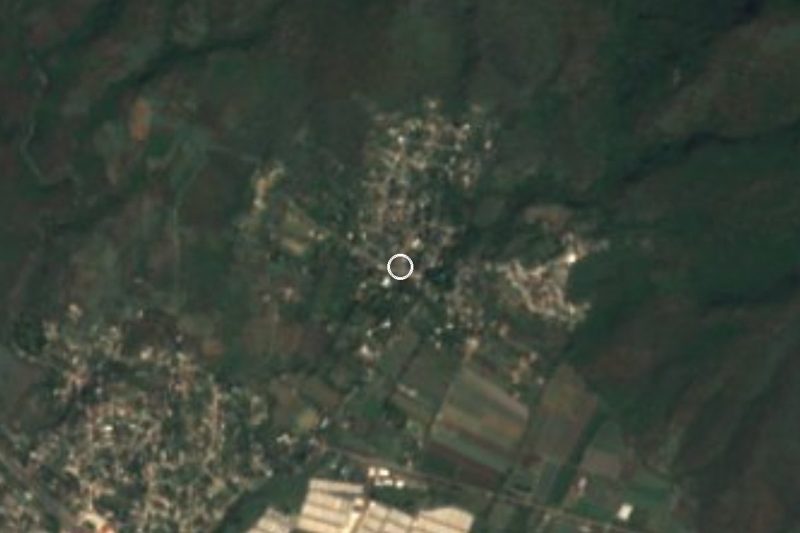
Drive times by road from OpenStreetMap, without traffic. Times marked ~ are estimated from the straight-line distance.
Location from OpenStreetMap. Written by Puebloteca.