Village Atlatlahucan, Morelos Municipality of Atlatlahucan Monasteries on the slopes of Popocatépetl Northern Morelos
Country-club residential development in Atlatlahucan with an 18-hole golf course dating to 1976 and 2,506 people in 2020, about 90 km from Mexico City.
From Cuautla: 20 min by car (16 km by road) How to get there ↓
Near here
See everything nearby ↓
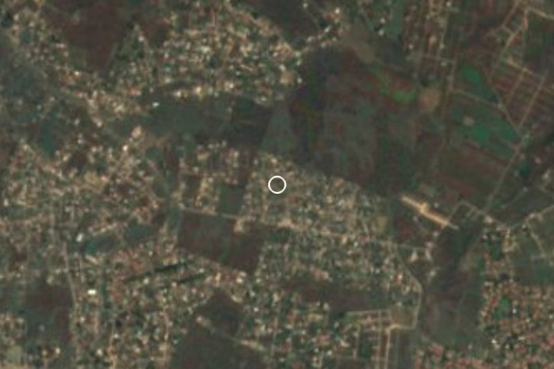
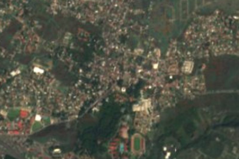


Plan your visit to Lomas de Cocoyoc
Where to stay near Lomas de Cocoyoc
Compare hotels, posadas and guest houses in Lomas de Cocoyoc.
Tours to Lomas de Cocoyoc
Day trips and guided outings from Tlayacapan often include Lomas de Cocoyoc; with a local guide you can get there without a car.
 Tours from Cuernavaca
3hr Cooking Class in Cuernavaca 8 Recipes and Bottomless Drinks
From US$59
How to get to Lomas de Cocoyoc
- From Cuautla: about 20 min by road (~16 km)
- Nearest airport: Mexico City (MEX), 1 h 33 min by car to Tlayacapan
Links open a partner site. We may earn a commission if you book, at no cost to you.
Tours from Cuernavaca, near Lomas de Cocoyoc


Tours, prices and ratings from Viator, checked weekly. We may earn a commission if you book.
About Lomas de Cocoyoc
Lomas de Cocoyoc is not an old village but a country-club residential development in the municipality of Atlatlahucan, planned around a golf course. Its namesake, Cocoyoc, comes from Nahuatl cocoyotli (firefly or click beetle) plus the place suffix: "place of cocuyos". The census recorded 778 people in 1990, 2,826 in 2000, 2,716 in 2010 and 2,506 in 2020, so the population has slipped a little over the past decade.
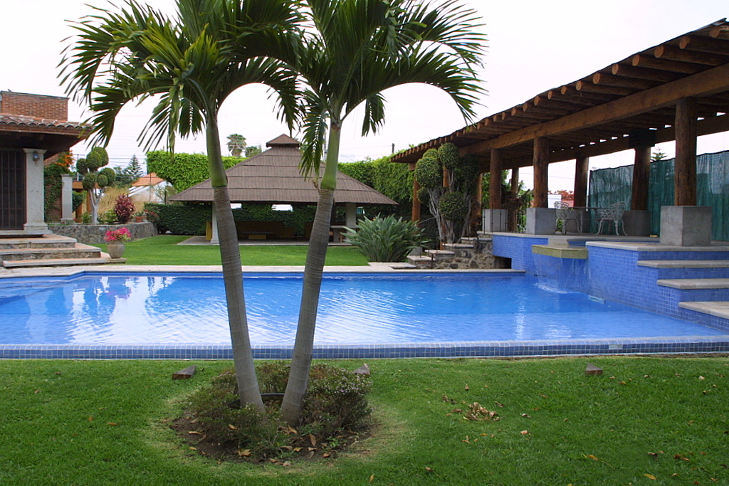
The heart of the place is the Campestre Cocoyoc club: an 18-hole parkland course credited to architect Mario Schjetnan and opened, according to several golf directories, in 1976, plus a short 9-hole course, a driving range and a clubhouse with a restaurant, gym, pool and event halls. The club accepts visitors without a member sponsor. Inside the development there is also a business and services centre, and the streets have controlled access.
It should not be confused with the Hacienda Cocoyoc hotel, a complex with 16th-century roots and its own nine-hole course about 10 minutes away, nor with the town of Cocoyoc itself in Yautepec. It is a place to play golf, relax and get around by car, not to explore on foot.
How to get to Lomas de Cocoyoc
Drive from Cuautla: 20 min, 16 km
Lomas de Cocoyoc is about 90 km from Mexico City, in the municipality of Atlatlahucan. From the capital, take the Mexico-Cuernavaca highway to La Pera and then the La Pera-Cuautla toll road (160D, 34 km), which has exits at Oacalco and Oaxtepec; the Cocoyoc area is a few minutes from those exits. From Cuautla it is about 9 km in a straight line and roughly 10 to 20 minutes by car, along the federal Mexico-Cuautla road, which has a junction at km 88 according to the Atlatlahucan profile.
By public transport, buses from the Terminal Sur (Taxqueña) or TAPO reach Cuautla; from there ask about combis toward Oaxtepec and Cocoyoc. For the last stretch a taxi is simplest, because the development has controlled access and lies a few kilometres off the main road: We could not confirm combi routes inside it. From the nearest pueblo in our guide, Tlayacapan, it is about 7 km in a straight line (roughly 10 to 15 minutes by car). If you plan to play, tell the gatehouse or call the club ahead.
Directions to Lomas de Cocoyoc on Google Maps
Distances are in a straight line; the road is usually longer.
Links open a partner site. We may earn a commission if you book, at no cost to you.
From the nearest cities to Lomas de Cocoyoc
- Cuautla · 16 km by road, 20 min
- Cuernavaca · 48 km by road, 50 min
- Atlixco · 91 km by road, 1 h 15 min
Drive times by road from OpenStreetMap, without traffic or stops. Times marked ~ are estimated from the straight-line distance.
Before you go to Lomas de Cocoyoc: hours, prices and tips
- Hours
- The Campestre Cocoyoc club is open Wednesday to Monday, 7 am to 5 pm, and welcomes visitors without a member sponsor. Lomas de Cocoyoc · checked Oct 2026
Hours and prices change, especially around holidays. Each fact links to where we checked it.
Visiting Lomas de Cocoyoc: what to see and do
Play a round on the 18-hole course at Campestre Cocoyoc, designed by Mario Schjetnan.
Try the short 9-hole course or the driving range if you are short on time.
Have lunch at the clubhouse restaurant.
Drive through the development to see what a 1970s country-club community looks like.
Continue to Atlatlahucan for the former convent of San Mateo Apóstol.
Plan your trip
Places to stay in Lomas de Cocoyoc
Compare hotels, posadas, and rentals in and around Lomas de Cocoyoc.
Tours & activities
Day trips and guided outings from Tlayacapan often include Lomas de Cocoyoc; with a local guide you can get there without a car.
Rental cars
Pick up a car at MEX (Mexico City): about 1 h 33 min by road to Tlayacapan, then 7 km more to Lomas de Cocoyoc, on your own schedule.
Flights
The nearest airport with scheduled flights is Mexico City (MEX), about 1 h 33 min by road from Tlayacapan, the base for Lomas de Cocoyoc.
Mobile data
Signal can drop away from Tlayacapan: download a map of the way to Lomas de Cocoyoc before you set out, or carry an eSIM with data.
Links open a partner site. We may earn a commission if you book, at no cost to you.
When to go to Lomas de Cocoyoc mild
Lomas de Cocoyoc shares the climate of Tlayacapan, 7 km away. The best months to visit are January, February, March, and December.
See the month-by-month climate of Tlayacapan
Weather in Lomas de Cocoyoc now and the next 7 days
Live forecast from Open-Meteo. Chance of rain is the day's highest.
The closest Pueblo Mágico: Tlayacapan

Tlayacapan is the Pueblo Mágico closest to Lomas de Cocoyoc, with places to stay, food, and more to see.
Also close to
- Tepoztlán · Morelos · 19 km away
- Tlaltizapán · Morelos · 32 km away
- Xochitepec · Morelos · 41 km away
- Atlixco · Puebla · 54 km away
- Malinalco · Estado de México · 59 km away
Closest to Lomas de Cocoyoc
-
Balneario Ejidal El Bosque · Hot springs · 2 km away
-
Las Minas · Village · 2 km away
-
Emiliano Zapata · Village · 3 km away
-
Estadio Olímpico de Oaxtepec · Landmark · 3 km away
-
Exconvento de Santo Domingo de Guzmán · Landmark · 3 km away
-
Oaxtepec · Town · 3 km away
-
San Juan Texcalpan · Village · 3 km away
-
Diecinueve de Febrero de Mil Ochocientos Doce · Village · 4 km away
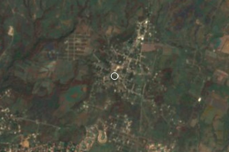
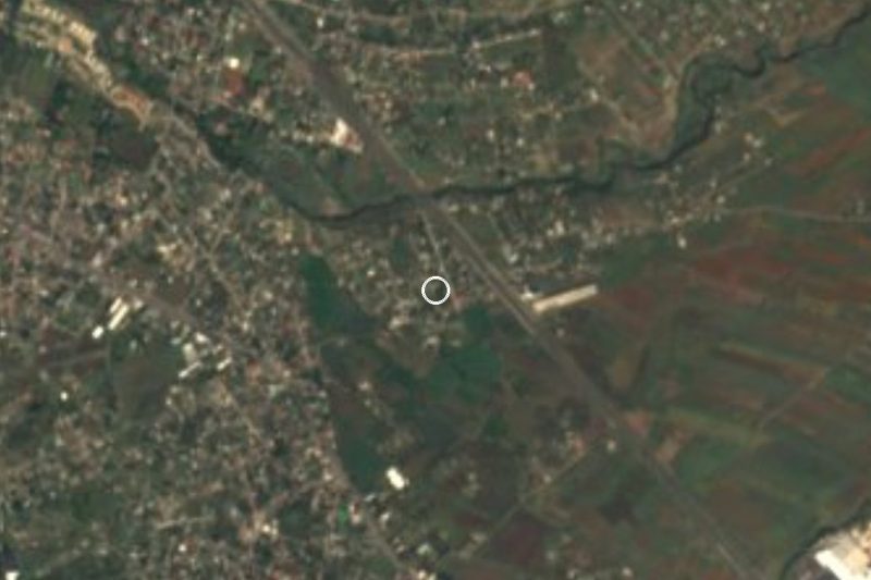
Near Lomas de Cocoyoc



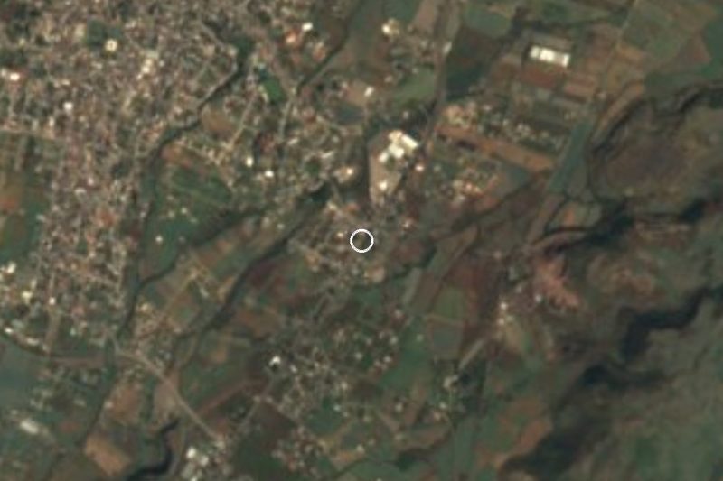
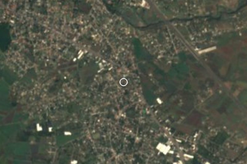

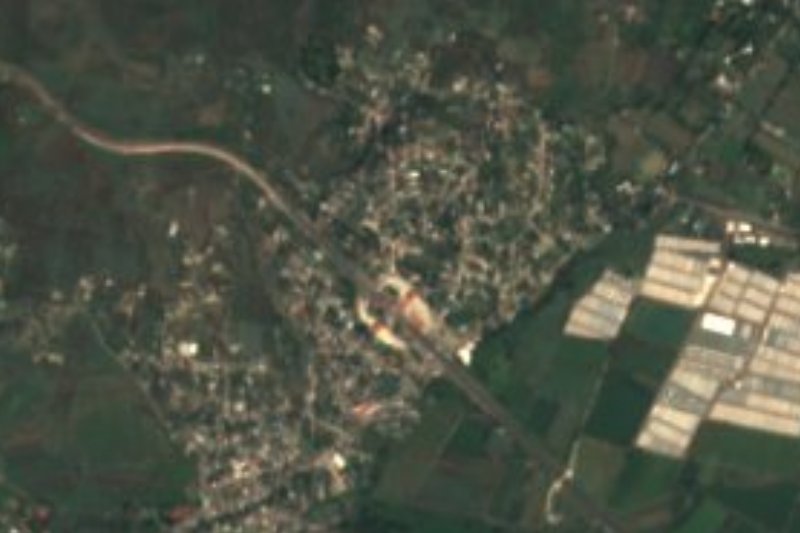
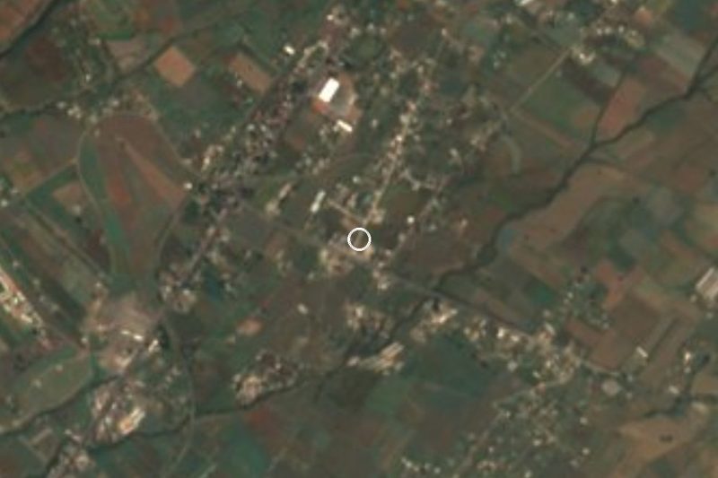
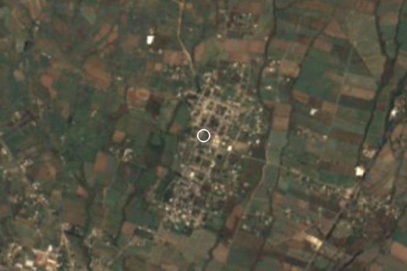
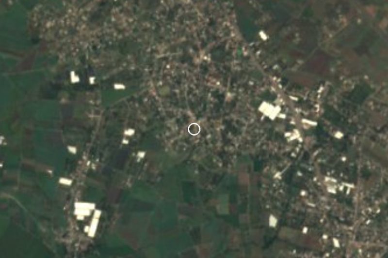
Drive times by road from OpenStreetMap, without traffic. Times marked ~ are estimated from the straight-line distance.
Location from OpenStreetMap. Written by Puebloteca.