Village Atlatlahucan, Morelos Municipality of Atlatlahucan Monasteries on the slopes of Popocatépetl Northern Morelos
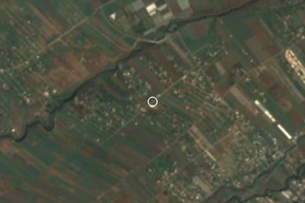
Locality in Atlatlahucan at 1,449 m, about 6 km southwest of the seat; it grew from 293 residents in 2005 to 2,211 in 2020.
From Cuautla: 10 min by car (9 km by road) How to get there ↓
Near here
See everything nearby ↓

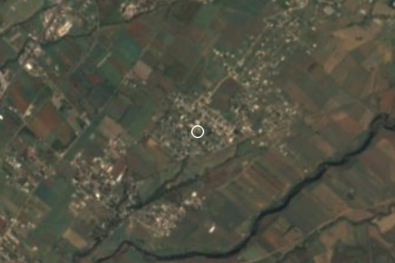
Plan your visit to Las Minas
Where to stay near Las Minas
Compare hotels, posadas and guest houses in Las Minas.
Tours to Las Minas
Day trips and guided outings from Tlayacapan often include Las Minas; with a local guide you can get there without a car.
 Tours from Cuernavaca
3hr Cooking Class in Cuernavaca 8 Recipes and Bottomless Drinks
From US$59
How to get to Las Minas
- From Cuautla: about 10 min by road (~9 km)
- Nearest airport: Mexico City (MEX), 1 h 33 min by car to Tlayacapan
Links open a partner site. We may earn a commission if you book, at no cost to you.
Tours from Cuernavaca, near Las Minas


Tours, prices and ratings from Viator, checked weekly. We may earn a commission if you book.
About Las Minas
Between 2005 and 2020 Las Minas grew sevenfold, from 293 residents to 837 in 2010 and 2,211 in the latest census, with 614 occupied homes. It is now one of the larger localities in Atlatlahucan municipality, though it sits on the margins of the seat: about 6 km southwest of Atlatlahucan, at roughly 1,449 metres. In 2020 about 94% of homes had electricity but only a little over a third had piped water, a sign that services are catching up with the houses; the state water commission has connected the village through the Terrazas well.
Other settlements crowd around it, most of them recent: La Mojonera under 1 km south, Adolfo López Mateos a little over 1 km away, Pazulco, Yecapixteca, Colonia San Francisco and Colonia 12 de Diciembre, all within about 1 to 2.5 km. Together they form a band of villages across the south of the municipality toward Cuautla. We found no documented origin of the name; the municipal locality list simply shows it as Las Minas.
The tourist anchor of the area is the municipal seat, Atlatlahucan, where the Convent of San Mateo Apóstol, a 16th-century Augustinian work on the Ruta de los Conventos, draws visitors touring the villages of the Popocatépetl region. Tlayacapan, a Pueblo Mágico, is about 18 km away, roughly 15 minutes by car. Las Minas itself has no lodging or sights of its own.
How to get to Las Minas
Drive from Cuautla: 10 min, 9 km
Las Minas is about 6 km southwest of Atlatlahucan and about 7 km in a straight line from Cuautla. The federal Mexico City–Cuautla road crosses the municipality, with a junction at km 88 toward Atlatlahucan, and from the seat local roads drop south and southwest. From Cuautla it is roughly 20 to 25 minutes by car; from Tlayacapan about 18 km and roughly 15 minutes; from Tepoztlán about 41 km and roughly 32 minutes, according to Pueblos de América. From Mexico City the usual route is the Mexico City–Cuautla highway.
By public transport, Atlatlahucan has combis to Cuautla and Totolapan, plus mototaxis and taxis. The simplest way is to take a bus to Cuautla (Estrella Roja de Cuautla runs Cuautla–Terminal Sur Taxqueña; check times), change to transport for Atlatlahucan, and finish by taxi or mototaxi. We found no documented line that serves Las Minas directly.
Directions to Las Minas on Google Maps
Distances are in a straight line; the road is usually longer.
Links open a partner site. We may earn a commission if you book, at no cost to you.
From the nearest cities to Las Minas
- Cuautla · 9 km by road, 10 min
- Cuernavaca · 50 km by road, 50 min
- Atlixco · 84 km by road, 1 h 5 min
Drive times by road from OpenStreetMap, without traffic or stops. Times marked ~ are estimated from the straight-line distance.
Visiting Las Minas: what to see and do
Walk the streets of Las Minas and see how far it has spread in fifteen years.
Go on to La Mojonera and Adolfo López Mateos, just over 1 km south.
Visit the Convent of San Mateo Apóstol in Atlatlahucan, about 6 km away.
Continue to Tlayacapan, about 18 km, for its convent and workshops.
In Lent, ask about the fair of the Señor de Tepalcingo in Atlatlahucan, on the fourth Friday.
Look toward the Malpaís area, about 8 km away.
Plan your trip
Places to stay in Las Minas
Compare hotels, posadas, and rentals in and around Las Minas.
Tours & activities
Day trips and guided outings from Tlayacapan often include Las Minas; with a local guide you can get there without a car.
Rental cars
Pick up a car at MEX (Mexico City): about 1 h 33 min by road to Tlayacapan, then 9 km more to Las Minas, on your own schedule.
Flights
The nearest airport with scheduled flights is Mexico City (MEX), about 1 h 33 min by road from Tlayacapan, the base for Las Minas.
Mobile data
Signal can drop away from Tlayacapan: download a map of the way to Las Minas before you set out, or carry an eSIM with data.
Links open a partner site. We may earn a commission if you book, at no cost to you.
When to go to Las Minas mild
Las Minas shares the climate of Tlayacapan, 9 km away. The best months to visit are January, February, March, and December.
See the month-by-month climate of Tlayacapan
Weather in Las Minas now and the next 7 days
Live forecast from Open-Meteo. Chance of rain is the day's highest.
The closest Pueblo Mágico: Tlayacapan

Tlayacapan is the Pueblo Mágico closest to Las Minas, with places to stay, food, and more to see.
Also close to
- Tepoztlán · Morelos · 20 km away
- Tlaltizapán · Morelos · 32 km away
- Xochitepec · Morelos · 41 km away
- Atlixco · Puebla · 53 km away
- Malinalco · Estado de México · 60 km away
Closest to Las Minas
-
Lomas de Cocoyoc · Village · 2 km away
-
Balneario Ejidal El Bosque · Hot springs · 3 km away
-
Pazulco · Village · 3 km away
-
San Francisco · Village · 3 km away
-
Tetelcingo · Landmark · 3 km away
-
Yecapixteca · Village · 3 km away
-
Diecinueve de Febrero de Mil Ochocientos Doce · Village · 4 km away
-
Estadio Olímpico de Oaxtepec · Landmark · 4 km away
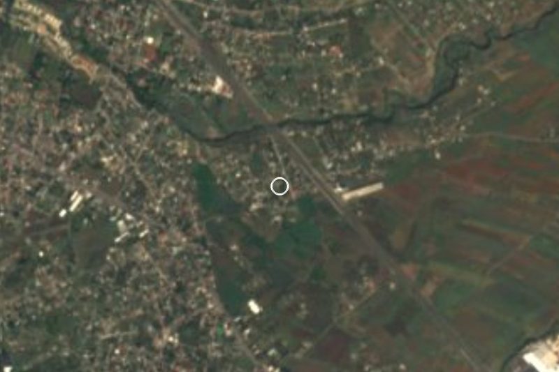
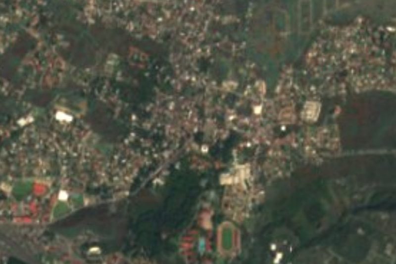
Near Las Minas
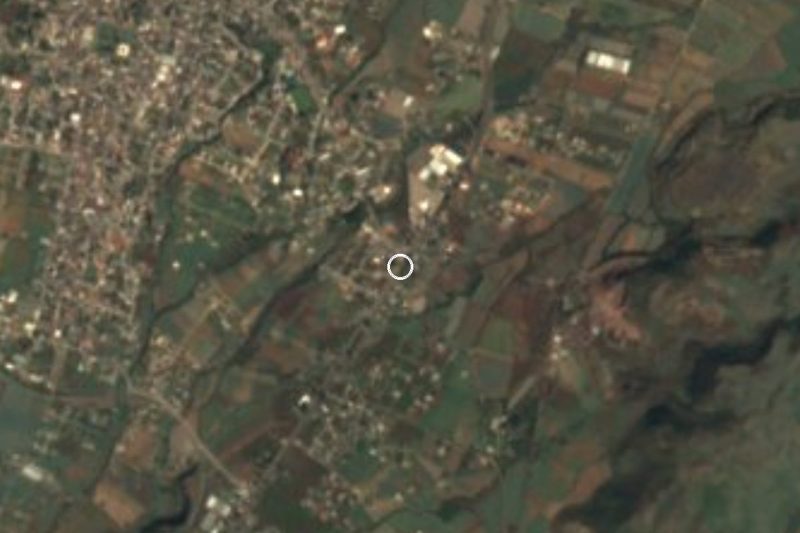


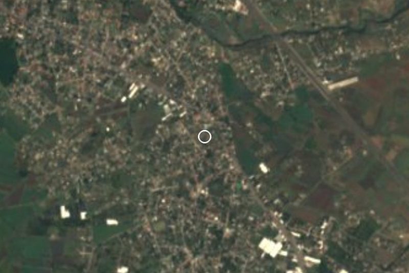
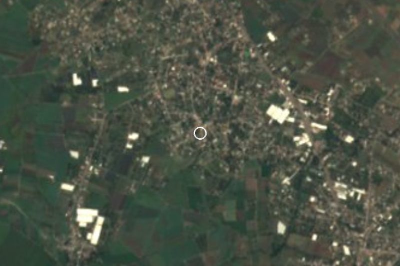

Drive times by road from OpenStreetMap, without traffic. Times marked ~ are estimated from the straight-line distance.
Location from OpenStreetMap. Written by Puebloteca.