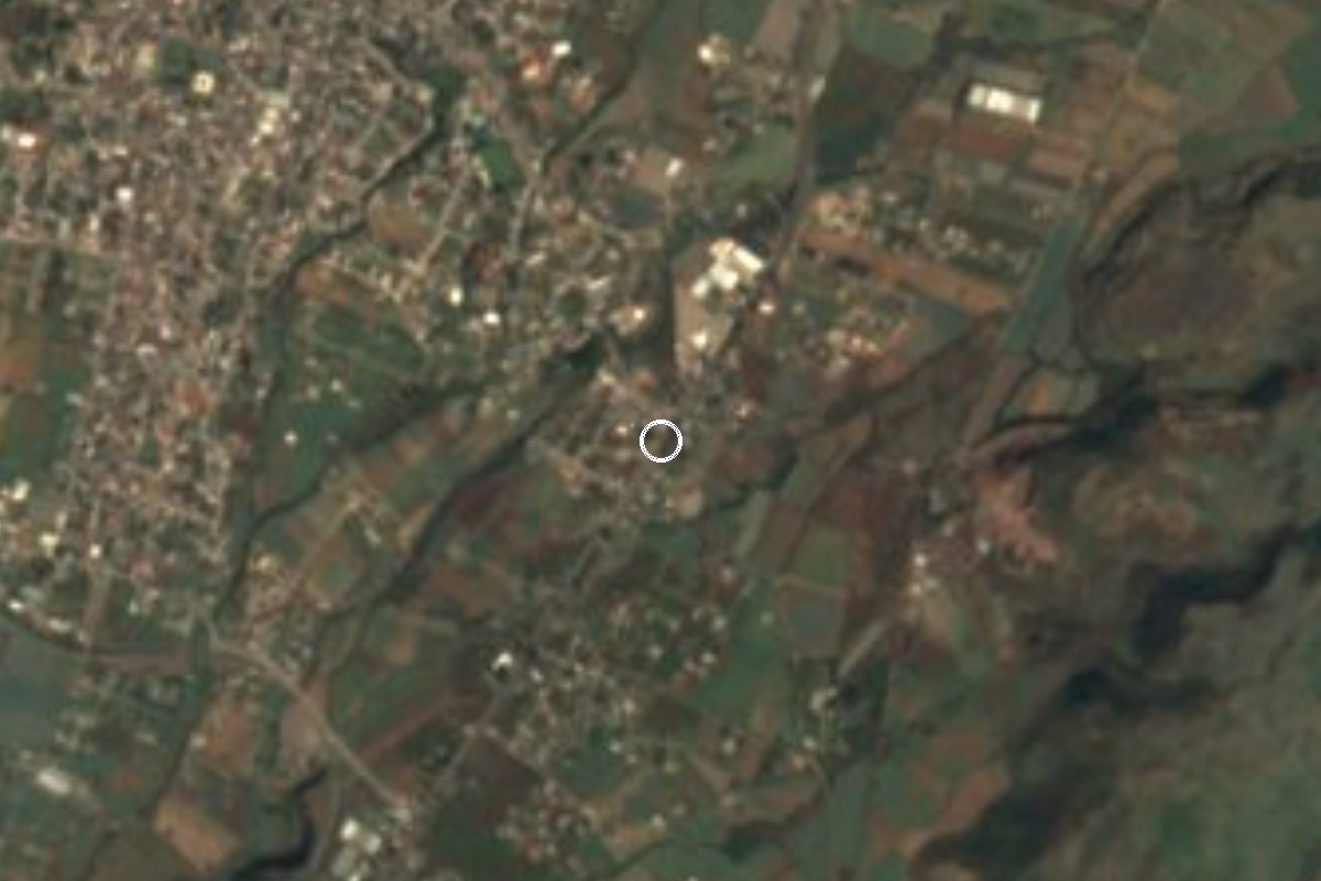
Village Atlatlahucan, Morelos Municipality of Atlatlahucan Monasteries on the slopes of Popocatépetl Northern Morelos
Atlatlahucan village named for its kilometre marker on the Mexico-Cuautla highway; it grew from 68 people in 1970 to 1,099 in 2020.
From Cuautla: 15 min by car (13 km by road) How to get there ↓
Near here
See everything nearby ↓


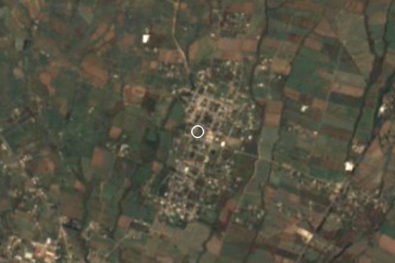
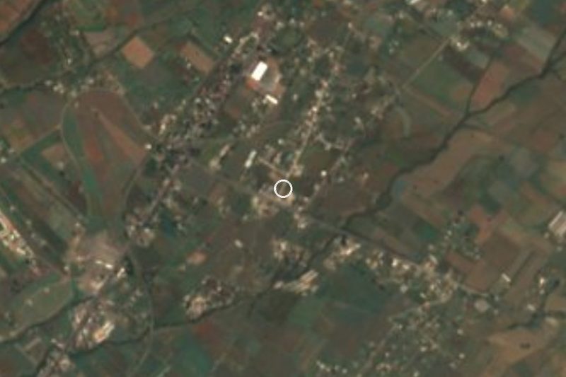
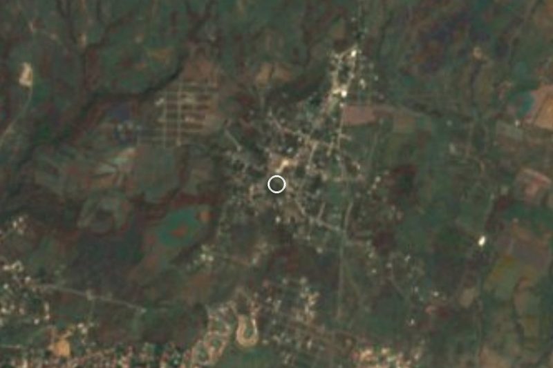
Plan your visit to Kilómetro Ochenta y Ocho
Where to stay near Kilómetro Ochenta y Ocho
Compare hotels, posadas and guest houses in Kilómetro Ochenta y Ocho.
Tours to Kilómetro Ochenta y Ocho
Day trips and guided outings from Tlayacapan often include Kilómetro Ochenta y Ocho; with a local guide you can get there without a car.
 Tours from Cuernavaca
3hr Cooking Class in Cuernavaca 8 Recipes and Bottomless Drinks
From US$59
How to get to Kilómetro Ochenta y Ocho
- From Cuautla: about 15 min by road (~13 km)
- Nearest airport: Mexico City (MEX), 1 h 33 min by car to Tlayacapan
Links open a partner site. We may earn a commission if you book, at no cost to you.
Tours from Cuernavaca, near Kilómetro Ochenta y Ocho


Tours, prices and ratings from Viator, checked weekly. We may earn a commission if you book.
About Kilómetro Ochenta y Ocho
The name Kilómetro Ochenta y Ocho is simply an address: according to Wikipedia it refers to kilometre 88 of the federal highway between Mexico City and Cuautla, and the locality takes its name from it. It belongs to the municipality of Atlatlahucan, Morelos, at roughly 1,600 m above sea level and about 1.4 km southeast of the municipal seat, per Pueblos de México.
INEGI censuses show a late but steady rise: 123 residents in 1960, 68 in 1970, 102 in 1980, 197 in 1990, 281 in 2000, 654 in 2010 and 1,099 in 2020. It has grown at every count since 1970 and by 2020 ranked seventh of the municipality's 56 localities. That year 286 homes were occupied, with electricity in about 98 of every 100 and piped water in about 83. Just over half the residents (54%) were born outside Morelos.
The setting is typical of northern Morelos: temperate hills, a hill called Malpaís (1,732 m) some 2 km to the southeast, and higher ridges above 2,000 m to the north towards Totolapan and the State of Mexico border. The centre of Atlatlahucan, with its Augustinian ex-convent founded in 1570 and part of the group of 16th-century convents on the slopes of Popocatépetl named a World Heritage Site in 1994, is a short ride away. There is no sight to tick off here: Kilómetro 88 is above all a crossroads where the roads to Oaxtepec, Tlayacapan and Totolapan part ways.
How to get to Kilómetro Ochenta y Ocho
Drive from Cuautla: 15 min, 13 km
By car: Kilómetro 88 sits on the old Mexico-Cuautla road (federal 115) in the Atlatlahucan municipality. From Cuautla the route is about 16.6 km and roughly 30 minutes (yotellevo.mx, which uses 2015 map data): take the federal road out through Juan Morales, follow Highway 115 for about 10 km and turn off where Atlatlahucan is signed; at the junction the roads to Oaxtepec and Atlatlahucan fork.
By public transport: Rome2Rio lists buses between Cuautla (the Cuautlixco area) and Kilómetro 88 in about 20 to 35 minutes, and a combi base for route 15 Atlatlahucan stands on Calle Rosalio Costeño in central Cuautla; schedules and fares are not up to date, so ask the driver. From Tlayacapan it is about 15 to 17 km, roughly 15 to 20 minutes by car. When there are roadblocks around Totolapan the junction has been affected, so check local news before you leave.
Directions to Kilómetro Ochenta y Ocho on Google Maps
Distances are in a straight line; the road is usually longer.
Links open a partner site. We may earn a commission if you book, at no cost to you.
From the nearest cities to Kilómetro Ochenta y Ocho
- Cuautla · 13 km by road, 15 min
- Cuernavaca · 59 km by road, 50 min
- Atlixco · 88 km by road, 1 h 5 min
Drive times by road from OpenStreetMap, without traffic or stops. Times marked ~ are estimated from the straight-line distance.
Visiting Kilómetro Ochenta y Ocho: what to see and do
Walk or ride to the Augustinian ex-convent of Atlatlahucan, founded in 1570, under 2 km away.
Look up at Cerro Malpaís (1,732 m), southeast of the village.
Follow the road to Tlayacapan, about 15 km west, home to another of the convents in the group.
Note the junction where the highway splits towards Oaxtepec, Tlayacapan and Totolapan.
Eat at the taquerías along the highway.
Plan your trip
Places to stay in Kilómetro Ochenta y Ocho
Compare hotels, posadas, and rentals in and around Kilómetro Ochenta y Ocho.
Tours & activities
Day trips and guided outings from Tlayacapan often include Kilómetro Ochenta y Ocho; with a local guide you can get there without a car.
Rental cars
Pick up a car at MEX (Mexico City): about 1 h 33 min by road to Tlayacapan, then 10 km more to Kilómetro Ochenta y Ocho, on your own schedule.
Flights
The nearest airport with scheduled flights is Mexico City (MEX), about 1 h 33 min by road from Tlayacapan, the base for Kilómetro Ochenta y Ocho.
Mobile data
Signal can drop away from Tlayacapan: download a map of the way to Kilómetro Ochenta y Ocho before you set out, or carry an eSIM with data.
Links open a partner site. We may earn a commission if you book, at no cost to you.
When to go to Kilómetro Ochenta y Ocho mild
Kilómetro Ochenta y Ocho shares the climate of Tlayacapan, 10 km away. The best months to visit are January, February, March, and December.
See the month-by-month climate of Tlayacapan
Weather in Kilómetro Ochenta y Ocho now and the next 7 days
Live forecast from Open-Meteo. Chance of rain is the day's highest.
The closest Pueblo Mágico: Tlayacapan

Tlayacapan is the Pueblo Mágico closest to Kilómetro Ochenta y Ocho, with places to stay, food, and more to see.
Also close to
- Tepoztlán · Morelos · 23 km away
- Tlaltizapán · Morelos · 38 km away
- Xochitepec · Morelos · 47 km away
- Atlixco · Puebla · 48 km away
- Huejotzingo · Puebla · 57 km away
Closest to Kilómetro Ochenta y Ocho
-
Atlatlahucan · Town · 1 km away
-
Monasterios en las faldas del Popocatépetl · Landmark · 1 km away
-
Templo y Exconvento de San Mateo Apóstol · Landmark · 1 km away
-
San Miguel Tlaltetelco · Village · 3 km away
-
San Francisco · Village · 4 km away
-
San Juan Texcalpan · Village · 4 km away
-
Yecapixteca · Village · 5 km away
-
Las Minas · Village · 6 km away
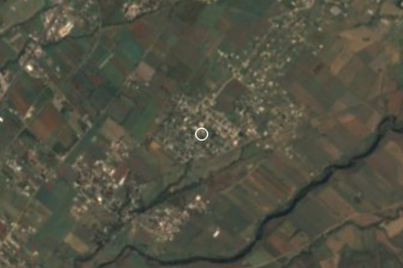
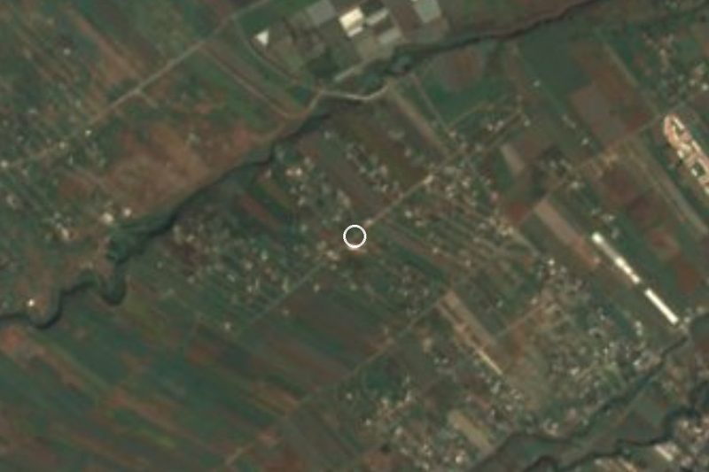
Near Kilómetro Ochenta y Ocho
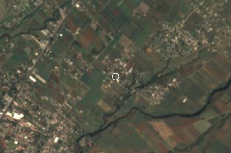



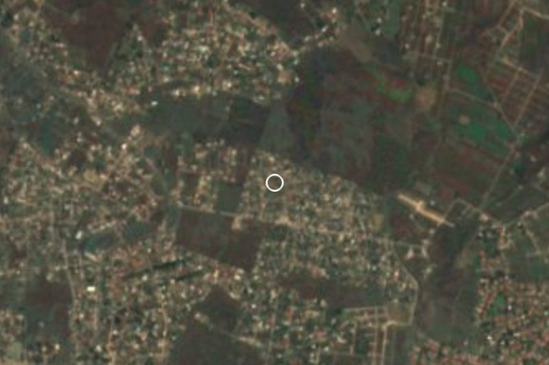

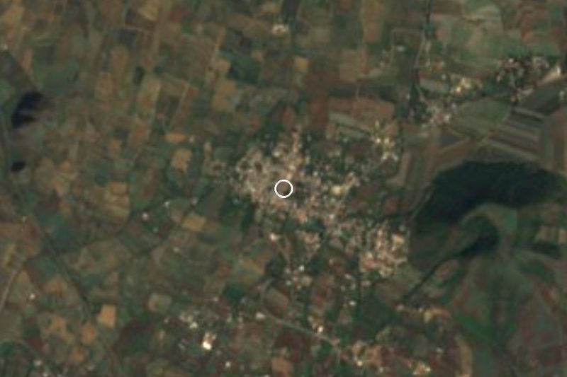

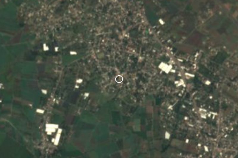

Drive times by road from OpenStreetMap, without traffic. Times marked ~ are estimated from the straight-line distance.
Location from OpenStreetMap. Written by Puebloteca.