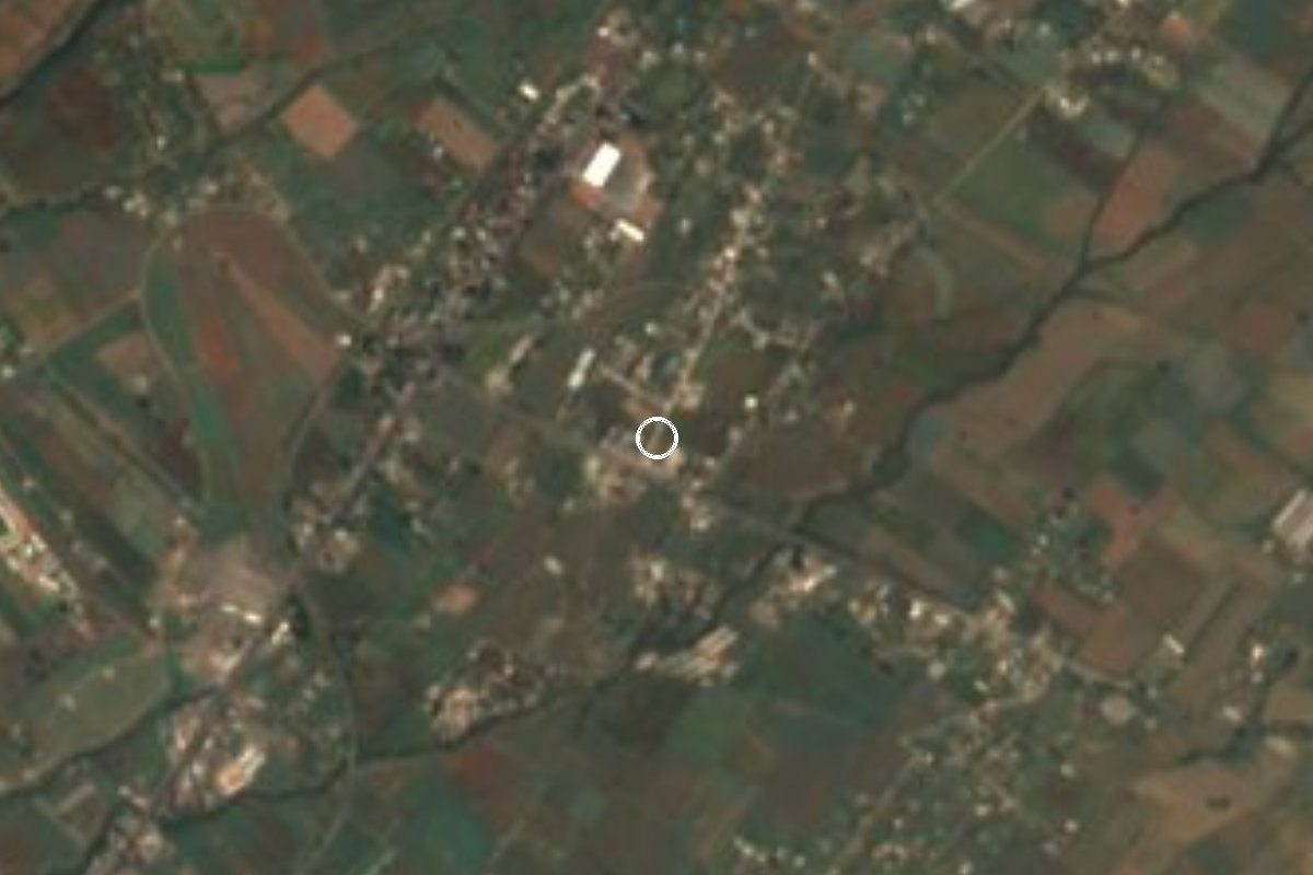
Village Atlatlahucan, Morelos Municipality of Atlatlahucan Monasteries on the slopes of Popocatépetl Northern Morelos
Locality in Atlatlahucan at 1,508 m, on the road to Cuautla and Yecapixtla; it grew from 326 to 1,537 residents between 2000 and 2020.
From Cuautla: 10 min by car (9 km by road) How to get there ↓
Near here
See everything nearby ↓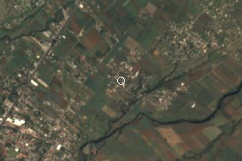


Plan your visit to San Francisco
Where to stay near San Francisco
Compare hotels, posadas and guest houses in San Francisco.
Tours to San Francisco
Day trips and guided outings from Tlayacapan often include San Francisco; with a local guide you can get there without a car.
 Tours from Cuernavaca
3hr Cooking Class in Cuernavaca 8 Recipes and Bottomless Drinks
From US$59
How to get to San Francisco
- From Cuautla: about 10 min by road (~9 km)
- Nearest airport: Mexico City (MEX), 1 h 33 min by car to Tlayacapan
Links open a partner site. We may earn a commission if you book, at no cost to you.
Tours from Cuernavaca, near San Francisco


Tours, prices and ratings from Viator, checked weekly. We may earn a commission if you book.
About San Francisco
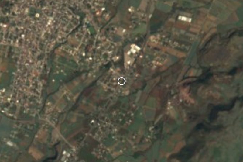
The village of San Francisco takes its name from its patron saint, Francis of Assisi. It is a locality in the municipality of Atlatlahucan, at about 1,508 m above sea level, with INEGI code 170020025, and is not to be mixed up with any other San Francisco in the country or the state. Census counts trace its growth: 172 people in 1980, 205 in 1990, 326 in 2000, 1,004 in 2010 and 1,537 in 2020.
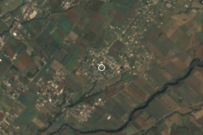
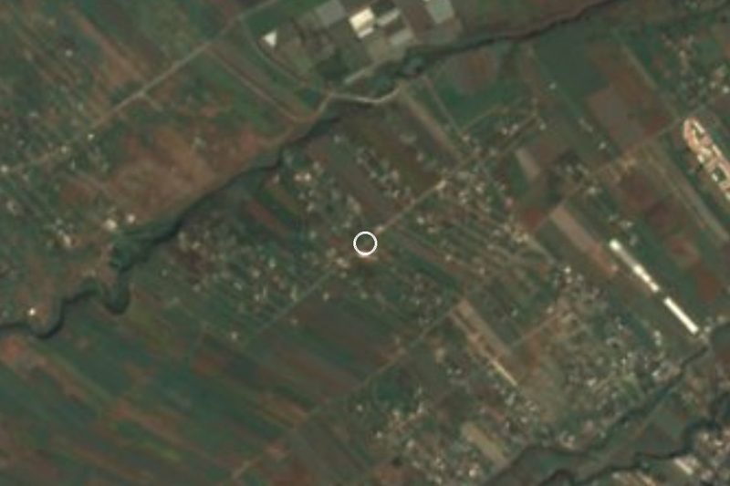
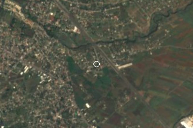
Its position explains the growth. Open maps place it at a crossroads: federal highway 115, labelled Santa Barbara-Izucar de Matamoros, passes through, along with state road Morelos 10, which splits into a branch to Cuautla and another to Yecapixtla. The maps also show the Antigua Carretera Cuautla-Mexico, the Carretera Vieja Mexico-Cuautla and a street called Avenida Ferrocarril, traces of the time when travel between the capital and Cuautla ran this way. Local streets include Calle San Francisco, Popocatepetl and Emiliano Zapata.
The biggest sight nearby is the former convent of San Mateo Apostol in the municipal seat, Atlatlahucan, a few kilometres away. Augustinians, who reached the area in 1533, founded it; the foundation date Wikipedia gives is 1570. It belongs to the Route of the Convents of Popocatepetl, which UNESCO inscribed in 1994 as the Earliest 16th-Century Monasteries on the Slopes of Popocatepetl. Atlatlahucan also holds the Feria del Señor de Tepalcingo on the fourth Friday of Lent, and locals say the chinelo dance began there, though Wikipedia notes there is no documentary proof.
San Francisco itself is a place of passage and housing; open sources document no monument or festival of its own.
How to get to San Francisco
Drive from Cuautla: 10 min, 9 km
San Francisco is in northern Morelos, in the municipality of Atlatlahucan, at a junction of federal highway 115 (Santa Barbara-Izucar de Matamoros) and state road Morelos 10, which runs to Cuautla and Yecapixtla. Cuautla is about 9 km away in a straight line, so allow 15 to 25 minutes by car (approx.); Atlatlahucan is a few kilometres off and Tlayacapan about 10 km. From Mexico City the route is the Cuautla highway; a bus from TAPO to Cuautla leaves about every 30 minutes and takes 2.5 to 3 hours (Rome2Rio), and Pullman de Morelos links Taxqueña with Cuautla hourly in about 1 h 40 min. From Cuautla, ask for combis toward Atlatlahucan: Wikipedia notes that combis run from Atlatlahucan to Cuautla and Totolapan. We found no named line for San Francisco itself.
Directions to San Francisco on Google Maps
Distances are in a straight line; the road is usually longer.
Links open a partner site. We may earn a commission if you book, at no cost to you.
From the nearest cities to San Francisco
- Cuautla · 9 km by road, 10 min
- Cuernavaca · 56 km by road, 50 min
- Atlixco · 84 km by road, 1 h 5 min
Drive times by road from OpenStreetMap, without traffic or stops. Times marked ~ are estimated from the straight-line distance.
Visiting San Francisco: what to see and do
Visit the former convent of San Mateo Apostol in Atlatlahucan, a World Heritage Site since 1994.
Look for the chinelo monument, since Atlatlahucan claims to be the dance's birthplace.
See the former convent of San Juan Bautista in Yecapixtla, along state road 10.
Come in Lent, on the fourth Friday, for the Feria del Señor de Tepalcingo.
Plan your trip
Places to stay in San Francisco
Compare hotels, posadas, and rentals in and around San Francisco.
Tours & activities
Day trips and guided outings from Tlayacapan often include San Francisco; with a local guide you can get there without a car.
Rental cars
Pick up a car at MEX (Mexico City): about 1 h 33 min by road to Tlayacapan, then 10 km more to San Francisco, on your own schedule.
Flights
The nearest airport with scheduled flights is Mexico City (MEX), about 1 h 33 min by road from Tlayacapan, the base for San Francisco.
Mobile data
Signal can drop away from Tlayacapan: download a map of the way to San Francisco before you set out, or carry an eSIM with data.
Links open a partner site. We may earn a commission if you book, at no cost to you.
When to go to San Francisco mild
San Francisco shares the climate of Tlayacapan, 10 km away. The best months to visit are January, February, March, and December.
See the month-by-month climate of Tlayacapan
Weather in San Francisco now and the next 7 days
Live forecast from Open-Meteo. Chance of rain is the day's highest.
The closest Pueblo Mágico: Tlayacapan

Tlayacapan is the Pueblo Mágico closest to San Francisco, with places to stay, food, and more to see.
Also close to
- Tepoztlán · Morelos · 23 km away
- Tlaltizapán · Morelos · 34 km away
- Xochitepec · Morelos · 44 km away
- Atlixco · Puebla · 50 km away
- Huejotzingo · Puebla · 60 km away
Closest to San Francisco
-
Pazulco · Village · 2 km away
-
Yecapixteca · Village · 2 km away
-
Las Minas · Village · 3 km away
-
Atlatlahucan · Town · 4 km away
-
Kilómetro Ochenta y Ocho · Village · 4 km away
-
Lomas de Cocoyoc · Village · 4 km away
-
Monasterios en las faldas del Popocatépetl · Landmark · 4 km away
-
Templo y Exconvento de San Juan Bautista de Yecapixtla · Landmark · 4 km away


Near San Francisco



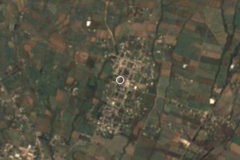

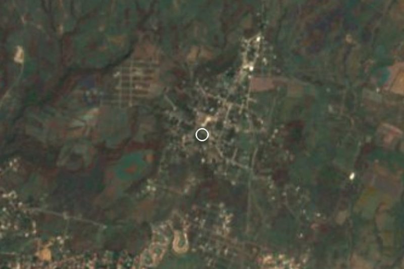



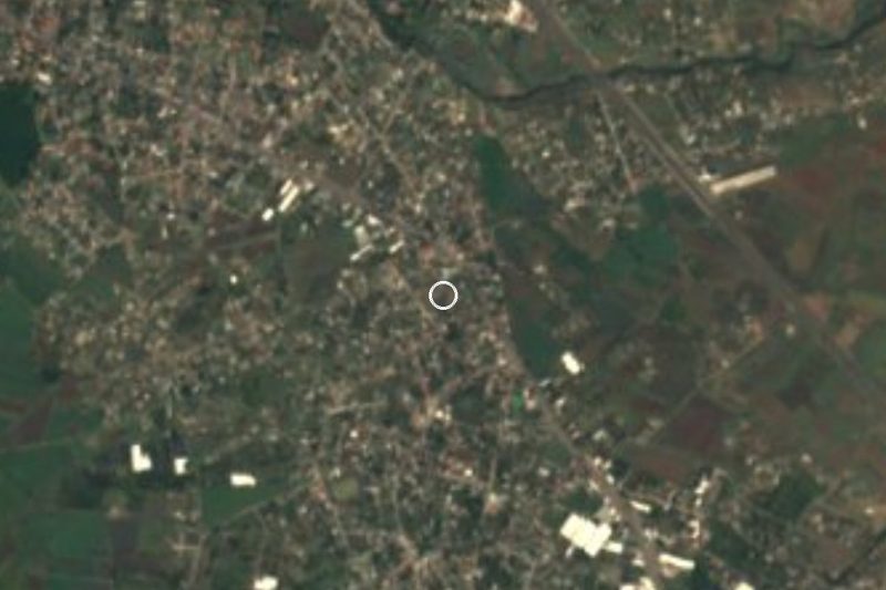
Drive times by road from OpenStreetMap, without traffic. Times marked ~ are estimated from the straight-line distance.
Location from OpenStreetMap. Written by Puebloteca.