Village Cuautla, Morelos Municipality of Cuautla Monasteries on the slopes of Popocatépetl Northern Morelos
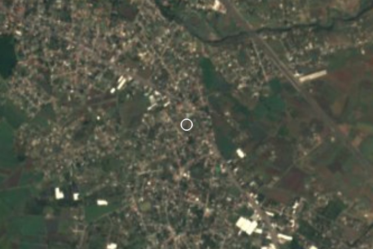
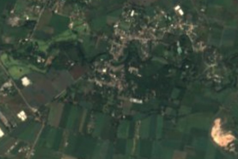
Cuautla locality at 1,342 m north of the city, named for the Boy Artilleryman of the 1812 siege; close to 2,000 residents.
From Cuautla: 10 min by car (6 km by road) How to get there ↓
Near here
See everything nearby ↓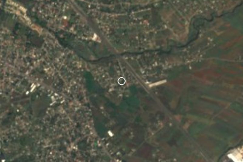


Plan your visit to Narciso Mendoza
Where to stay near Narciso Mendoza
Compare hotels, posadas and guest houses in Narciso Mendoza.
Tours to Narciso Mendoza
Day trips and guided outings from Tlayacapan often include Narciso Mendoza; with a local guide you can get there without a car.
How to get to Narciso Mendoza
- From Cuautla: about 10 min by road (~6 km)
- Nearest airport: Mexico City (MEX), 1 h 33 min by car to Tlayacapan
Links open a partner site. We may earn a commission if you book, at no cost to you.
About Narciso Mendoza
The name of this village remembers a boy. Narciso Mendoza was born in Cuautla in 1800 and on 5 March 1812, during the siege of the city, he was about twelve and belonged to the Compañía de Emulantes, the children's unit Morelos organised. When Calleja's forces attacked the plaza de San Diego, defended by Hermenegildo Galeana, a false report of defeat caused panic; Narciso, already wounded in the arm by a royalist dragoon, lit a loaded cannon and its blast pushed the attackers back. Morelos promoted him to alférez, and after Independence he reached lieutenant colonel.
The locality that now carries his name is small and grew quickly: 269 people in 1980, 776 in 1990, 1,138 in 2000, 1,612 in 2010 and 1,988 in 2020. It lies at about 1,342 metres, with a semi-arid climate: 20.9 °C average and about 1,099 mm of rain a year. About 40 percent of residents were born outside Morelos.
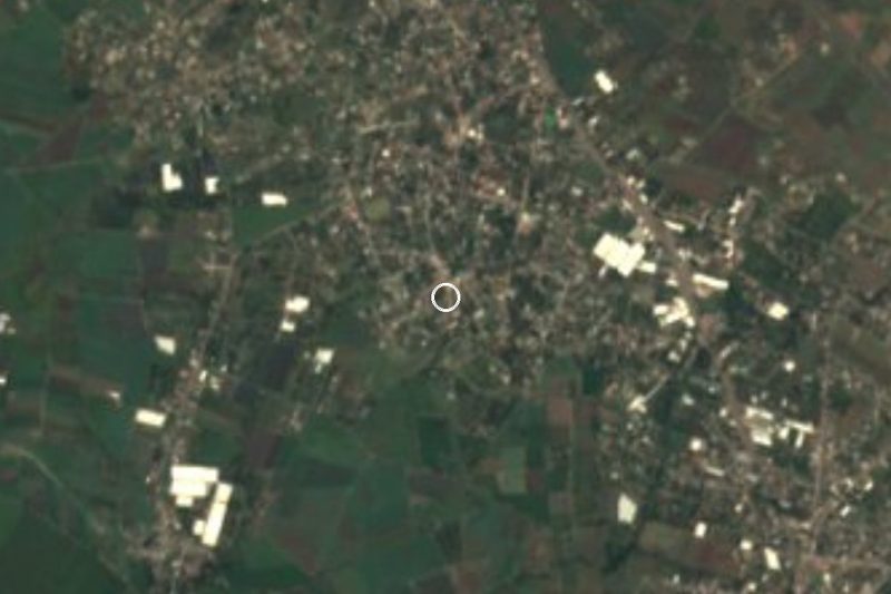
Right beside it are Ampliación Narciso Mendoza (half a kilometre west), Peña Flores or Palo Verde, with more than 4,400 people (1 km east), and Cocoyoc, with over 10,000, under 2 km to the north-west. Cocoyoc has the Hacienda Cocoyoc, now a hotel, and about 3 km north is the IMSS Centro Vacacional Oaxtepec.
The village itself has no sights; its value to a traveller is the name and the position, roughly halfway between Cuautla and Tlayacapan.
How to get to Narciso Mendoza
Drive from Cuautla: 10 min, 6 km
By car: Narciso Mendoza is about 7 km north of Cuautla in a straight line, between Cuautla and Oaxtepec; Pueblos América gives about 15 minutes from Tlayacapan (22 km in one figure, 15 in another). From Cuernavaca or Mexico City take toll road 160D, which passes Oacalco and Oaxtepec before reaching the north of Cuautla, or the free federal road through Yautepec; leave at Oaxtepec or Cocoyoc and follow local streets for about 2 km. Tepoztlán is about 39 km away (about 30 minutes, approx.).
By bus: Estrella Roja de Cuautla (TER) and Pullman de Morelos run from Terminal Sur Taxqueña to Cuautla; from there take a taxi or colectivo toward Cocoyoc or Peña Flores and ask for Narciso Mendoza. Cuernavaca to Cuautla services that stop at Oaxtepec also work. We found no documented direct line; confirm schedules with the companies.
Directions to Narciso Mendoza on Google Maps
Distances are in a straight line; the road is usually longer.
Links open a partner site. We may earn a commission if you book, at no cost to you.
From the nearest cities to Narciso Mendoza
- Cuautla · 6 km by road, 10 min
- Cuernavaca · 47 km by road, 45 min
- Atlixco · 83 km by road, 1 h
Drive times by road from OpenStreetMap, without traffic or stops. Times marked ~ are estimated from the straight-line distance.
Visiting Narciso Mendoza: what to see and do
Remember the Boy Artilleryman, Narciso Mendoza, and his cannon shot of 5 March 1812.
Cross to Cocoyoc, under 2 km away, to see the Hacienda Cocoyoc.
Continue 3 km north to the IMSS Centro Vacacional Oaxtepec.
Eat in Peña Flores or Cocoyoc, where most fondas and taquerías are.
Visit the San Diego former convent in downtown Cuautla, where the deed took place.
Plan your trip
Places to stay in Narciso Mendoza
Compare hotels, posadas, and rentals in and around Narciso Mendoza.
Tours & activities
Day trips and guided outings from Tlayacapan often include Narciso Mendoza; with a local guide you can get there without a car.
Rental cars
Pick up a car at MEX (Mexico City): about 1 h 33 min by road to Tlayacapan, then 9 km more to Narciso Mendoza, on your own schedule.
Flights
The nearest airport with scheduled flights is Mexico City (MEX), about 1 h 33 min by road from Tlayacapan, the base for Narciso Mendoza.
Mobile data
Signal can drop away from Tlayacapan: download a map of the way to Narciso Mendoza before you set out, or carry an eSIM with data.
Links open a partner site. We may earn a commission if you book, at no cost to you.
When to go to Narciso Mendoza mild
Narciso Mendoza shares the climate of Tlayacapan, 9 km away. The best months to visit are January, February, March, and December.
See the month-by-month climate of Tlayacapan
Weather in Narciso Mendoza now and the next 7 days
Live forecast from Open-Meteo. Chance of rain is the day's highest.
The closest Pueblo Mágico: Tlayacapan

Tlayacapan is the Pueblo Mágico closest to Narciso Mendoza, with places to stay, food, and more to see.
Also close to
- Tepoztlán · Morelos · 18 km away
- Tlaltizapán · Morelos · 28 km away
- Xochitepec · Morelos · 37 km away
- Malinalco · Estado de México · 56 km away
- Atlixco · Puebla · 57 km away
Closest to Narciso Mendoza
-
Diecinueve de Febrero de Mil Ochocientos Doce · Village · 1 km away
-
Peña Flores · Village · 1 km away
-
Calderón · Village · 2 km away
-
Hacienda Cocoyoc · Landmark · 2 km away
-
Balneario Ejidal El Bosque · Hot springs · 4 km away
-
Estadio Olímpico de Oaxtepec · Landmark · 4 km away
-
Exconvento de Santo Domingo de Guzmán · Landmark · 4 km away
-
Las Minas · Village · 4 km away

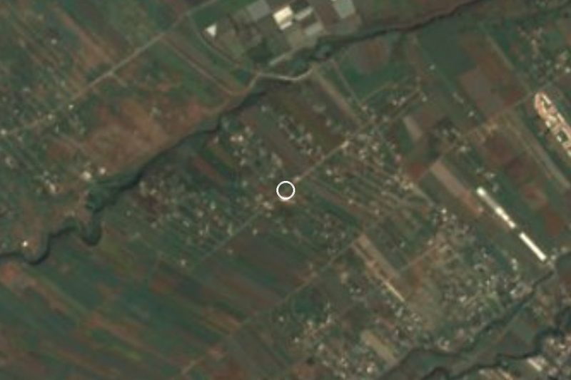
Near Narciso Mendoza



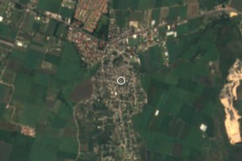


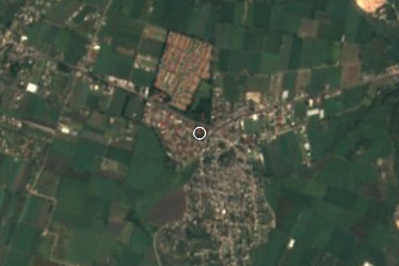



Drive times by road from OpenStreetMap, without traffic. Times marked ~ are estimated from the straight-line distance.
Location from OpenStreetMap. Written by Puebloteca.