Village Yautepec, Morelos Municipality of Yautepec Monasteries on the slopes of Popocatépetl Northern Morelos
Yautepec village whose name means "place surrounded by black amate"; reports of pyramids and a spa with thermal water.
From Cuautla: 20 min by car (20 km by road) How to get there ↓
Near here
See everything nearby ↓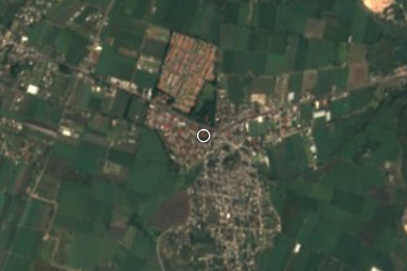


Plan your visit to Itzamatitlán
Where to stay near Itzamatitlán
Compare hotels, posadas and guest houses in Itzamatitlán.
Tours to Itzamatitlán
Day trips and guided outings from Tlayacapan often include Itzamatitlán; with a local guide you can get there without a car.
 Tours from Cuernavaca
3hr Cooking Class in Cuernavaca 8 Recipes and Bottomless Drinks
From US$59
How to get to Itzamatitlán
- From Cuautla: about 20 min by road (~20 km)
- Nearest airport: Mexico City (MEX), 1 h 33 min by car to Tlayacapan
Links open a partner site. We may earn a commission if you book, at no cost to you.
Tours from Cuernavaca, near Itzamatitlán


Tours, prices and ratings from Viator, checked weekly. We may earn a commission if you book.
About Itzamatitlán
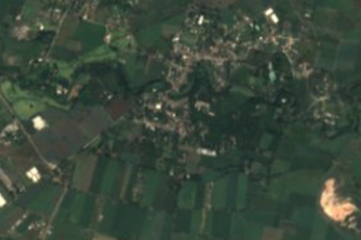
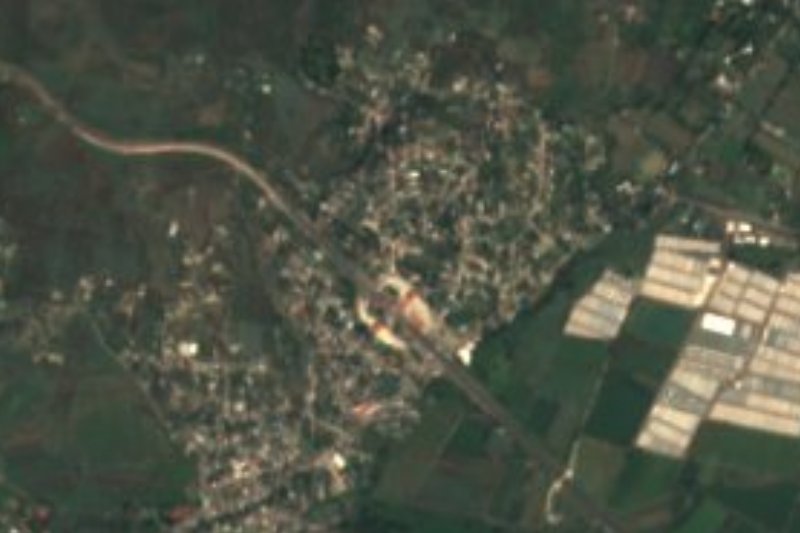
Itzamatitlán is a locality in the municipality of Yautepec, at about 1,242 metres above sea level. Its name is Nahuatl: itzic, black; amatl, amate; titlan, surrounded; INEGI and Wikipedia translate it as "place surrounded by black amate", after the tree Pseudobombax ellipticum.
The site's story does not start in the twentieth century. Wikipedia's article on the municipality of Yautepec says important archaeological monuments were found at Itzamatitlán, among them nine pyramids with a ball court and carved stones of the Tlahuica culture.
INEGI's census shows a small population and then a sudden jump: 168 people in 1921, 312 in 1990 and 1,129 in 2000, rising to 1,366 in 2020. The village is home to the Balneario Itzamatitlán, which English Wikipedia describes with an Olympic-size pool, wading pool, restaurant, ten cabins, camping area, fruit orchard and thermal and cold springs; the Yautepec river also runs there. On OpenStreetMap, state road MOR 2 (Yautepec-Oacalco) passes alongside.
How to get to Itzamatitlán
Drive from Cuautla: 20 min, 20 km
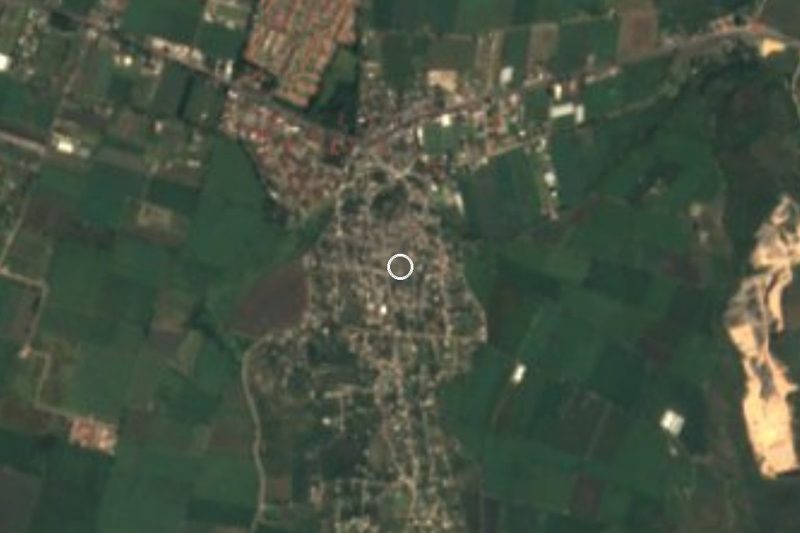
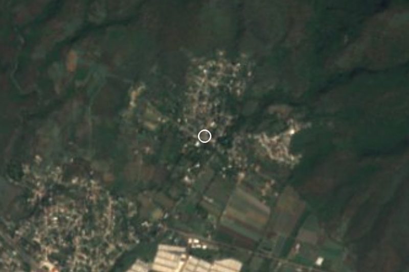
Itzamatitlán lies about 5 km in a straight line east of Yautepec and some 12 km from Cuautla (the travel time, around 15 minutes, is our estimate). From Yautepec take state road MOR 2 toward Oacalco (labelled Yautepec-Oacalco on OpenStreetMap); the map also shows the Yautepec-Cuautla road and, a little further out, the Mexico 160D La Pera-Cuautla toll motorway. From Cuernavaca the most direct way is Mexico 138 (Cuernavaca-Cuautlixco) or the 160D motorway toward Cuautla, then turn off for Yautepec. Tlayacapan, the nearest pueblo, is about 7 km away (about 10 minutes). We found no named bus or colectivo lines with schedules.
Directions to Itzamatitlán on Google Maps
Distances are in a straight line; the road is usually longer.
Links open a partner site. We may earn a commission if you book, at no cost to you.
From the nearest cities to Itzamatitlán
- Cuautla · 20 km by road, 20 min
- Cuernavaca · 31 km by road, 40 min
- Atlixco · 95 km by road, 1 h 10 min
Drive times by road from OpenStreetMap, without traffic or stops. Times marked ~ are estimated from the straight-line distance.
Visiting Itzamatitlán: what to see and do
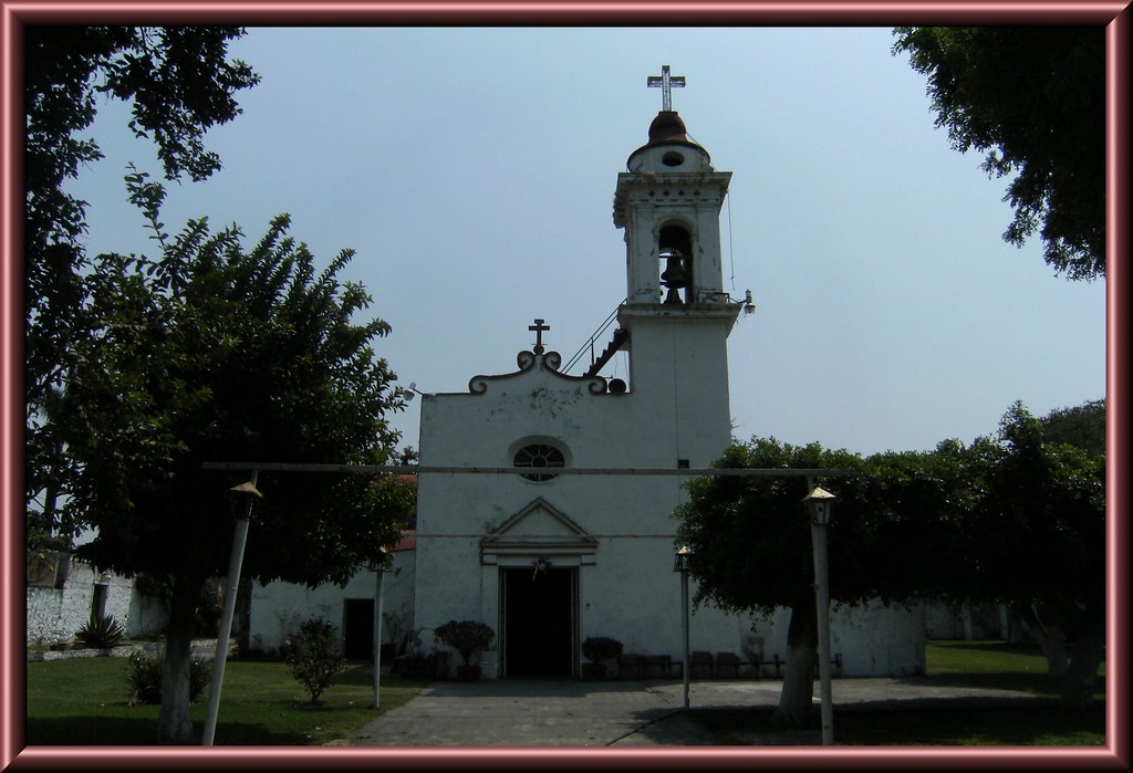
Balneario Itzamatitlán, with pools, thermal and cold springs and cabins
The Yautepec river, which runs through the spa grounds
Area where nine pyramids, a ball court and carved Tlahuica stones were found (we could not confirm it can be visited)
The black amate trees that give the village its name
Plan your trip
Places to stay in Itzamatitlán
Compare hotels, posadas, and rentals in and around Itzamatitlán.
Tours & activities
Day trips and guided outings from Tlayacapan often include Itzamatitlán; with a local guide you can get there without a car.
Rental cars
Pick up a car at MEX (Mexico City): about 1 h 33 min by road to Tlayacapan, then 7 km more to Itzamatitlán, on your own schedule.
Flights
The nearest airport with scheduled flights is Mexico City (MEX), about 1 h 33 min by road from Tlayacapan, the base for Itzamatitlán.
Mobile data
Signal can drop away from Tlayacapan: download a map of the way to Itzamatitlán before you set out, or carry an eSIM with data.
Links open a partner site. We may earn a commission if you book, at no cost to you.
When to go to Itzamatitlán mild
Itzamatitlán shares the climate of Tlayacapan, 7 km away. The best months to visit are January, February, March, and December.
See the month-by-month climate of Tlayacapan
Weather in Itzamatitlán now and the next 7 days
Live forecast from Open-Meteo. Chance of rain is the day's highest.
The closest Pueblo Mágico: Tlayacapan

Tlayacapan is the Pueblo Mágico closest to Itzamatitlán, with places to stay, food, and more to see.
Also close to
- Tepoztlán · Morelos · 12 km away
- Tlaltizapán · Morelos · 27 km away
- Xochitepec · Morelos · 32 km away
- Malinalco · Estado de México · 50 km away
- Atlixco · Puebla · 63 km away
Closest to Itzamatitlán
-
Ex Hacienda de San Carlos · Landmark · 2 km away
-
Los Arcos · Village · 2 km away
-
Oacalco · Village · 2 km away
-
Adolfo López Mateos · Village · 3 km away
-
Lázaro Cárdenas · Village · 3 km away
-
Hacienda Apanquetzalco · Landmark · 4 km away
-
Ignacio Bastida · Village · 4 km away
-
Hacienda Cocoyoc · Landmark · 5 km away

Near Itzamatitlán
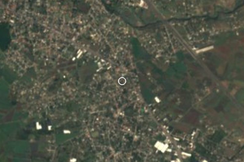
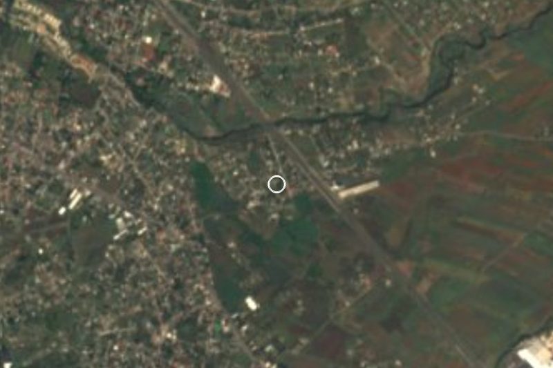

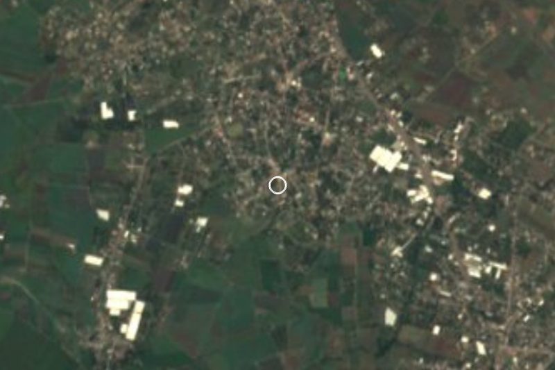


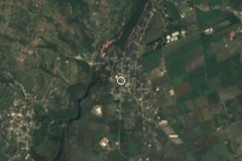
Drive times by road from OpenStreetMap, without traffic. Times marked ~ are estimated from the straight-line distance.
Location from OpenStreetMap. Written by Puebloteca.