Village Yautepec, Morelos Municipality of Yautepec Monasteries on the slopes of Popocatépetl Southern Morelos
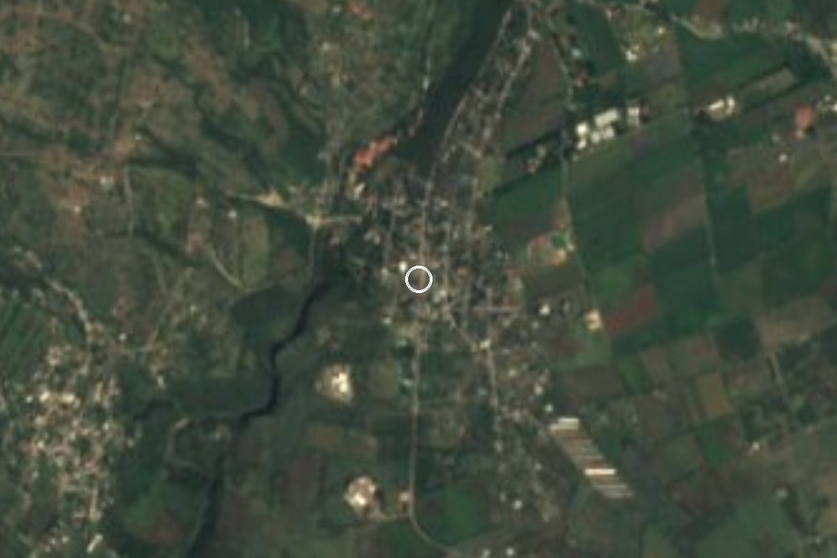
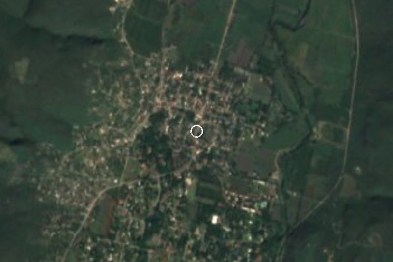
Locality in Yautepec at 1,092 m, with 1,153 people in 2020 and Saint Isidore the Farmer as patron; 8 km southwest of the municipal seat.
From Cuautla: 30 min by car (25 km by road) How to get there ↓
Near here
See everything nearby ↓
Plan your visit to San Isidro
Where to stay near San Isidro
Compare hotels, posadas and guest houses in San Isidro.
Tours to San Isidro
Day trips and guided outings from Tlaltizapán often include San Isidro; with a local guide you can get there without a car.
 Tours from Cuernavaca
3hr Cooking Class in Cuernavaca 8 Recipes and Bottomless Drinks
From US$59
How to get to San Isidro
- From Cuautla: about 30 min by road (~25 km)
- Nearest airport: Mexico City (MEX), 1 h 55 min by car to Tlaltizapán
Links open a partner site. We may earn a commission if you book, at no cost to you.
Tours from Cuernavaca, near San Isidro


Tours, prices and ratings from Viator, checked weekly. We may earn a commission if you book.
About San Isidro
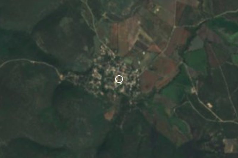
Several places in Yautepec municipality share this name; this one is San Isidro, at 1,092 metres above sea level and about 8 km straight-line southwest of Yautepec de Zaragoza. Its patron is Saint Isidore the Farmer, the saint of country people, which suits a village ringed by fields.
The INEGI censuses show steady growth: 101 people in 1960, 271 in 1970, 548 in 1990, 815 in 2000, 945 in 2010 and 1,153 in 2020, ranking it 11th of the municipality's 113 localities. More than a quarter of residents (26%) were born outside Morelos. In 2020 there were 320 occupied homes, 96% with piped water and 99% with electricity; average schooling was 8.5 years and 2.5% of people were indigenous.
The landscape is low hills and ravines: Palo Amarillo (1,362 m) lies to the east, El Lindero (1,278 m) to the southeast and Monte Negro or Cerro Negro (1,610 m) to the west. The nearest neighbours are Diego Ruiz (210 people), El Fortín (208) and Barranca Honda (896), all a little over a kilometre away. The climate is hot semi-arid, averaging 22.3 °C with 799 mm of rain; January is the coolest month, April the warmest and September the wettest.
We found no published local history of San Isidro and prefer not to invent one; for the date of the patron-saint fiesta, ask on the spot.
How to get to San Isidro
Drive from Cuautla: 30 min, 25 km
San Isidro is about 8 km straight-line southwest of Yautepec de Zaragoza in Morelos; by car allow roughly 15 to 20 minutes from Yautepec, and about 16 km (20 minutes) from Cuautla by our own unverified estimate. Yautepec is the entry point: Pullman de Morelos runs buses between Mexico City (Casino and Centro terminals), Cuernavaca, Cuautla, Yautepec, Tepoztlán and Oaxtepec; confirm times with the company, as adjustments after road blockades were reported in July 2026. From Mexico City, drive toll highway 95D toward Cuernavaca, then 115D, which links to state road Morelos 2 toward Yautepec. From Yautepec, ask for the road to San Isidro (taxi or local colectivo); we did not verify the exact route of the last kilometres. Tlaltizapán de Zapata, the nearest pueblo mágico, is about 23 km by road (roughly 21 minutes).
Directions to San Isidro on Google Maps
Distances are in a straight line; the road is usually longer.
Links open a partner site. We may earn a commission if you book, at no cost to you.
From the nearest cities to San Isidro
- Cuautla · 25 km by road, 30 min
- Cuernavaca · 29 km by road, 40 min
- Atlixco · 102 km by road, 1 h 25 min
Drive times by road from OpenStreetMap, without traffic or stops. Times marked ~ are estimated from the straight-line distance.
Visiting San Isidro: what to see and do
Walk San Isidro's streets, a farming village of about 1,150 people.
Look west to Cerro Negro, which reaches 1,610 m.
Follow the tracks toward El Fortín and Barranca Honda, a little over 1 km away.
Look in at the chapel of San Isidro Labrador and ask about its fiesta.
Climb Palo Amarillo (1,362 m) to the east if a local goes with you.
Plan your trip
Places to stay in San Isidro
Compare hotels, posadas, and rentals in and around San Isidro.
Tours & activities
Day trips and guided outings from Tlaltizapán often include San Isidro; with a local guide you can get there without a car.
Rental cars
Pick up a car at MEX (Mexico City): about 1 h 55 min by road to Tlaltizapán, then 16 km more to San Isidro, on your own schedule.
Flights
The nearest airport with scheduled flights is Mexico City (MEX), about 1 h 55 min by road from Tlaltizapán, the base for San Isidro.
Mobile data
Signal can drop away from Tlaltizapán: download a map of the way to San Isidro before you set out, or carry an eSIM with data.
Links open a partner site. We may earn a commission if you book, at no cost to you.
When to go to San Isidro warm
San Isidro shares the climate of Tlaltizapán, 16 km away. The best months to visit are January, October, November, and December.
See the month-by-month climate of Tlaltizapán
Weather in San Isidro now and the next 7 days
Live forecast from Open-Meteo. Chance of rain is the day's highest.
The closest Pueblo Mágico: Tlaltizapán

Tlaltizapán is the Pueblo Mágico closest to San Isidro, with places to stay, food, and more to see.
Also close to
- Tepoztlán · Morelos · 18 km away
- Tlayacapan · Morelos · 19 km away
- Xochitepec · Morelos · 23 km away
- Malinalco · Estado de México · 45 km away
- Ixtapan de la Sal · Estado de México · 61 km away
Closest to San Isidro
-
Cañón de Lobos · Nature reserve · 5 km away
-
La Nopalera · Village · 5 km away
-
Reserva Estatal Sierra de Montenegro · Nature reserve · 5 km away
-
Ticumán · Village · 7 km away
-
Zona Arqueológica de Yautepec · Archaeological site · 7 km away
-
Amador Salazar · Town · 8 km away
-
Cliserio Alanís · Village · 8 km away
-
Independencia · Village · 8 km away
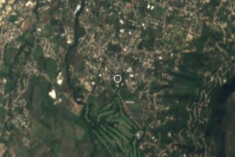
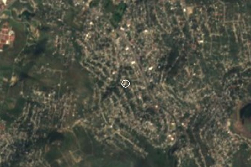
Near San Isidro

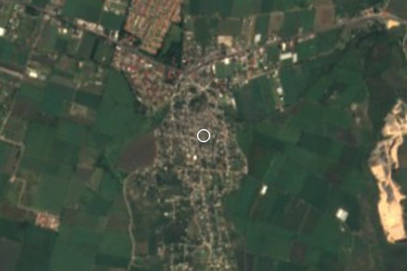
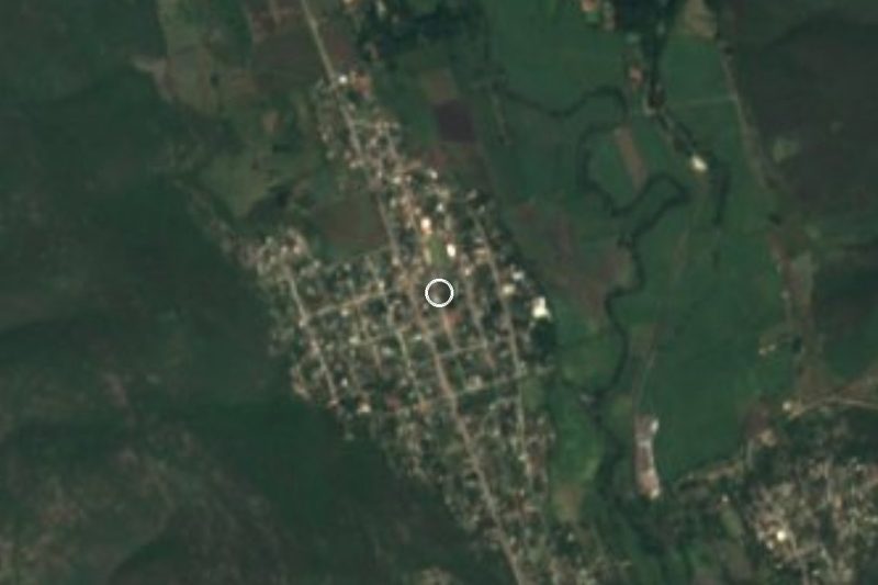


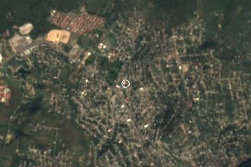
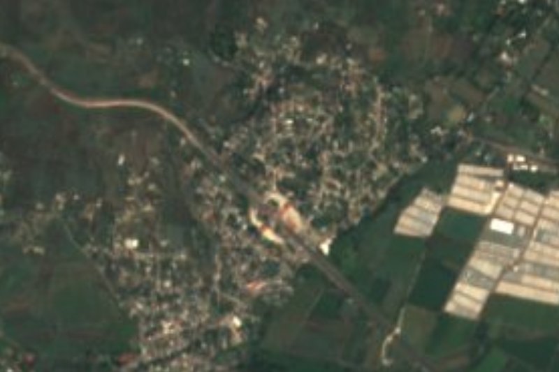
Drive times by road from OpenStreetMap, without traffic. Times marked ~ are estimated from the straight-line distance.
Location from OpenStreetMap. Written by Puebloteca.