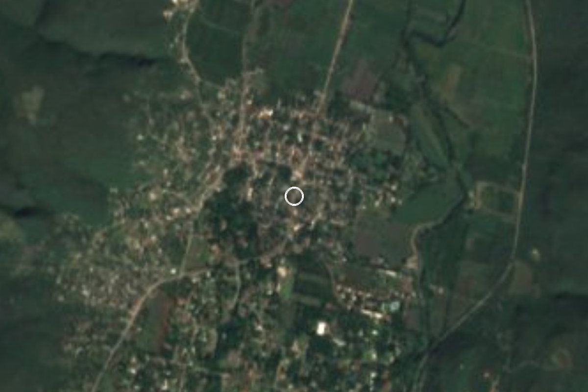
Village Tlaltizapán de Zapata, Morelos Municipality of Tlaltizapán de Zapata Southern Morelos
Sugar-cane village in Tlaltizapán with a 1649 church, an ex-hacienda tied to Zapata and the Las Estacas river close by.
From Cuautla: 40 min by car (35 km by road) How to get there ↓
Near here
See everything nearby ↓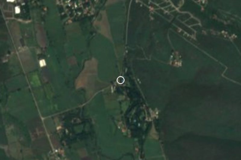

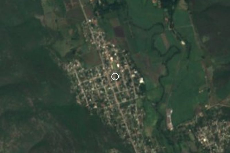

Plan your visit to Ticumán
Where to stay near Ticumán
Compare hotels, posadas and guest houses in Ticumán.
Tours to Ticumán
Day trips and guided outings from Tlaltizapán often include Ticumán; with a local guide you can get there without a car.
How to get to Ticumán
- From Cuautla: about 40 min by road (~35 km)
- Nearest airport: Mexico City (MEX), 1 h 55 min by car to Tlaltizapán
Links open a partner site. We may earn a commission if you book, at no cost to you.
About Ticumán
Ticumán grew up around sugar cane and still lives from it. Its hacienda was founded to grow cane, and the fields are still watered through the colonial canal system known as the apantle, across a flat valley that the Yautepec and Las Estacas rivers cross, at roughly 960 to 980 m above sea level. A UNAM study of the sugar estates mentions a viceregal land grant of 1613, three caballerías, near Ticumán, and places Xochimancas, Atlihuayan and Sayula in the same area.
The Revolution passes through here too. According to Spanish Wikipedia, the Ticumán hacienda served as Emiliano Zapata's headquarters during the Revolution and was where Otilio Montaño, the author of the Plan de Ayala, was shot. The parish church of Santo Domingo de Guzmán dates from 1649 and was built by the Dominicans at the start of evangelisation in the region. Locals celebrate the saint on 4 August, and the calendar also holds San Isidro Labrador (15 May, with a procession to the fields), Santiago Apóstol (25 July, on horseback), a carnival with chinelo dancers and tamboras, and Day of the Dead.
For a day out, the draw is the water. The Las Estacas river resort is fed by springs that, by the same source, release about 7,000 litres a second, and the village has a cave with rock paintings (Cueva del Gallo), a museum of pre-Hispanic pieces and a bat-themed ecotourism corridor. The 2010 census counted 3,897 people.
How to get to Ticumán
Drive from Cuautla: 40 min, 35 km
Ticumán is in the municipality of Tlaltizapán de Zapata, about 18 km from Yautepec according to Wikipedia, and about 8 km (roughly 10 minutes) from Tlaltizapán, the nearest pueblo with a page in this guide. Cuautla, the nearest city, is about 20 km in a straight line (roughly 25 to 35 minutes by car).
By car from Mexico City: take the México-Cuernavaca toll road (95D) and the exit toward Cuautla and Oaxtepec (160D); then follow signs for Yautepec and Tlaltizapán and on to Las Estacas, which is right next to the village. Other guides suggest leaving the Autopista del Sol at Tlaquiltenango and arriving through Tlaltizapán. The last stretch is local road between cane fields.
By bus: take a bus from Mexico City's Terminal Sur Taxqueña to Yautepec, then a combi to Tlaltizapán and another to the park (as Chilango describes it); you can also go to Cuautla or Jojutla and continue by taxi or colectivo. We found no published direct line to Ticumán: ask at the Yautepec or Tlaltizapán stops.
Directions to Ticumán on Google Maps
Distances are in a straight line; the road is usually longer.
Links open a partner site. We may earn a commission if you book, at no cost to you.
From the nearest cities to Ticumán
- Cuautla · 35 km by road, 40 min
- Cuernavaca · 39 km by road, 50 min
- Taxco · 88 km by road, 1 h 25 min
Drive times by road from OpenStreetMap, without traffic or stops. Times marked ~ are estimated from the straight-line distance.
Before you go to Ticumán: hours, prices and tips
- Entry
- Entry to Las Estacas was 550 pesos for adults and 350 for children under 1.25 m in March 2025; confirm the current rate before you go. ADN40 · checked Oct 2026
Hours and prices change, especially around holidays. Each fact links to where we checked it.
Visiting Ticumán: what to see and do
Step into the parish church of Santo Domingo de Guzmán, from 1649.
Look for what remains of the Ticumán hacienda, Zapata's headquarters.
Swim in the Las Estacas river (paid entry).
Visit the Cueva del Gallo and its rock paintings with a guide.
Stop at the Museo Manantial de la Cultura.
Walk among the cane fields and the apantle canals.
Plan your trip
Places to stay in Ticumán
Compare hotels, posadas, and rentals in and around Ticumán.
Tours & activities
Day trips and guided outings from Tlaltizapán often include Ticumán; with a local guide you can get there without a car.
Rental cars
Pick up a car at MEX (Mexico City): about 1 h 55 min by road to Tlaltizapán, then 8 km more to Ticumán, on your own schedule.
Flights
The nearest airport with scheduled flights is Mexico City (MEX), about 1 h 55 min by road from Tlaltizapán, the base for Ticumán.
Mobile data
Signal can drop away from Tlaltizapán: download a map of the way to Ticumán before you set out, or carry an eSIM with data.
Links open a partner site. We may earn a commission if you book, at no cost to you.
When to go to Ticumán warm
Ticumán shares the climate of Tlaltizapán, 8 km away. The best months to visit are January, October, November, and December.
See the month-by-month climate of Tlaltizapán
Weather in Ticumán now and the next 7 days
Live forecast from Open-Meteo. Chance of rain is the day's highest.
The closest Pueblo Mágico: Tlaltizapán

Tlaltizapán is the Pueblo Mágico closest to Ticumán, with places to stay, food, and more to see.
Also close to
- Xochitepec · Morelos · 20 km away
- Tepoztlán · Morelos · 25 km away
- Tlayacapan · Morelos · 26 km away
- Malinalco · Estado de México · 45 km away
- Taxco · Guerrero · 56 km away
Closest to Ticumán
-
Balneario Santa Isabel · Hot springs · 3 km away
-
Las Estacas · Nature reserve · 4 km away
-
Bonifacio García · Village · 5 km away
-
Reserva Estatal Sierra de Montenegro · Nature reserve · 5 km away
-
Palo Prieto · Village · 6 km away
-
Temimilcingo · Village · 6 km away
-
Tetecalita · Village · 6 km away
-
San Isidro · Village · 7 km away
Near Ticumán
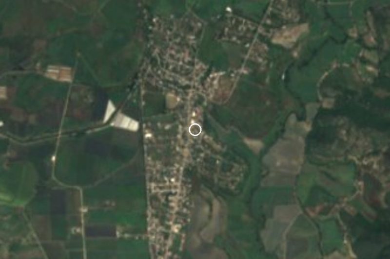
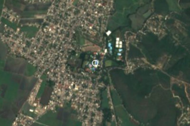



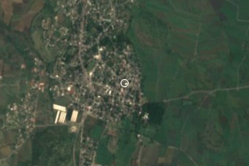



Drive times by road from OpenStreetMap, without traffic. Times marked ~ are estimated from the straight-line distance.
Location from OpenStreetMap. Written by Puebloteca.