Village Zacatepec, Morelos Municipality of Zacatepec Southern Morelos
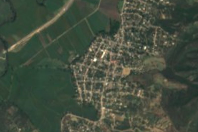
Seat of Zacatepec municipality at 917 m: a sugar-cane town with a mill since 1938 and the stadium of the historic Cañeros football club.
From Cuernavaca: 35 min by car (35 km by road) How to get there ↓
Near here
See everything nearby ↓
Plan your visit to Zacatepec de Hidalgo
Where to stay near Zacatepec de Hidalgo
Compare hotels, posadas and guest houses in Zacatepec de Hidalgo.
Tours to Zacatepec de Hidalgo
Day trips and guided outings from Tlaltizapán often include Zacatepec de Hidalgo; with a local guide you can get there without a car.
 Tours from Cuernavaca
3hr Cooking Class in Cuernavaca 8 Recipes and Bottomless Drinks
From US$59
How to get to Zacatepec de Hidalgo
- From Cuernavaca: about 35 min by road (~35 km)
- Nearest airport: Mexico City (MEX), 1 h 55 min by car to Tlaltizapán
Links open a partner site. We may earn a commission if you book, at no cost to you.
Tours from Cuernavaca, near Zacatepec de Hidalgo


Tours, prices and ratings from Viator, checked weekly. We may earn a commission if you book.
About Zacatepec de Hidalgo
Zacatepec is a sugar town in the hot south of Morelos, and almost everything in it traces back to cane. The area has grown cane since 1690, and on 5 February 1938 President Lázaro Cárdenas opened the Emiliano Zapata sugar mill on the grounds of the old hacienda. The municipality was decreed that December. The town's population went from 1,917 in 1940 to nearly 7,000 in 1950 and over 21,000 by 1990; the 2020 census counted about 21,400 at roughly 917 m above sea level. The Nahuatl name is usually read as "on the grass hill", and Hidalgo honours the priest of the 1810 uprising.
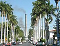
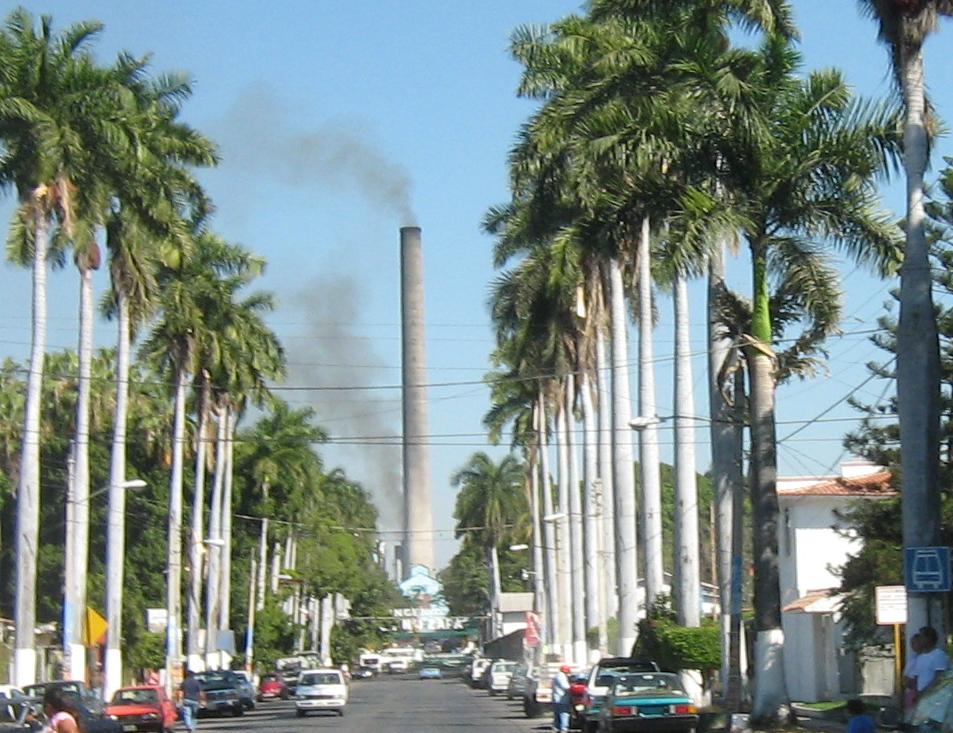
The mill still anchors local life, with ups and downs: it went bankrupt in 1991, shed about 70 % of its workforce, and is now run by Grupo Beta San Miguel with around 800 employees. The harvest, or zafra, lasts about seven months from November to May or June and draws field workers from Guerrero, Puebla and Oaxaca. The mill's chimney, seen down a street lined with royal palms, is the town's signature view.
The sugar boom also left a stadium and a football club. The Estadio Agustín "Coruco" Díaz, beside Parque Miguel Hidalgo, holds about 24,400 after its renovation. It is home to the Cañeros de Zacatepec, top-flight champions in 1954-55 and 1957-58, who last played in the first division in May 1985. The Instituto Tecnológico de Zacatepec and the IMSS regional hospital date from the same period.
The patron saint's day is 25 July (Santiago Apóstol), with a fair and fireworks, and the whole town celebrates the Virgin of Guadalupe on 12 December. The climate is hot: about 24 °C on average over the year, with April and May reaching up to 40 °C.
How to get to Zacatepec de Hidalgo
Drive from Cuernavaca: 35 min, 35 km
From Cuernavaca it is about 30 km south, roughly 35 to 40 minutes by car. The most direct route is the four-lane free road from Emiliano Zapata to Zacatepec, which runs through Jiutepec and Xochitepec and by the Cuernavaca airport area. From the Autopista del Sol (Mexico 95D, Mexico City–Acapulco), exit at the Alpuyeca interchange and take the free Alpuyeca–Jojutla road (Bulevar 17 de Abril), which crosses Zacatepec from east to west. Coming from Tequesquitengo, the Galeana–Tequesquitengo road meets the toll road near km 135. By bus We found no direct service from Cuernavaca: Rome2Rio builds it from Pullman de Morelos buses from Cuernavaca (Casino de la Selva or downtown terminals) to Xoxocotla and then on to Zacatepec, about 1 h 30 min in total, so check times with the line. From Mexico City, the usual way is a bus to Cuernavaca from Terminal Sur (Taxqueña) and a change there. Tlaltizapán is about 6 km away, roughly 10 minutes by road.
Directions to Zacatepec de Hidalgo on Google Maps
Distances are in a straight line; the road is usually longer.
Links open a partner site. We may earn a commission if you book, at no cost to you.
From the nearest cities to Zacatepec de Hidalgo
- Cuernavaca · 35 km by road, 35 min
- Cuautla · 44 km by road, 50 min
- Taxco · 62 km by road, 1 h 5 min
Drive times by road from OpenStreetMap, without traffic or stops. Times marked ~ are estimated from the straight-line distance.
Before you go to Zacatepec de Hidalgo: hours, prices and tips
- Best season
- Hot, semi-humid climate averaging 24.3 °C. Dry season from November to May, rain from mid-May to late October; April and May are hottest (up to 40 °C) and December and January coolest (lows near 6 °C). The sugar harvest runs November to May or June. Hispanopedia, Municipio de Zacatepec de Hidalgo · checked Oct 2026
Hours and prices change, especially around holidays. Each fact links to where we checked it.
Visiting Zacatepec de Hidalgo: what to see and do
Look down the avenue of royal palms to the Emiliano Zapata mill chimney.
Walk through Parque Miguel Hidalgo, next to the stadium.
Catch a Cañeros match at Estadio Agustín "Coruco" Díaz.
Step into the parish church of Santiago Apóstol, the town's patron.
Visit the chapel and community museum of San Esteban Tetelpan, in the municipality.
Come between November and May to see the zafra, when the mill is at full tilt.
Plan your trip
Places to stay in Zacatepec de Hidalgo
Compare hotels, posadas, and rentals in and around Zacatepec de Hidalgo.
Tours & activities
Day trips and guided outings from Tlaltizapán often include Zacatepec de Hidalgo; with a local guide you can get there without a car.
Rental cars
Pick up a car at MEX (Mexico City): about 1 h 55 min by road to Tlaltizapán, then 6 km more to Zacatepec de Hidalgo, on your own schedule.
Flights
The nearest airport with scheduled flights is Mexico City (MEX), about 1 h 55 min by road from Tlaltizapán, the base for Zacatepec de Hidalgo.
Mobile data
Signal can drop away from Tlaltizapán: download a map of the way to Zacatepec de Hidalgo before you set out, or carry an eSIM with data.
Links open a partner site. We may earn a commission if you book, at no cost to you.
When to go to Zacatepec de Hidalgo warm
Zacatepec de Hidalgo shares the climate of Tlaltizapán, 6 km away. The best months to visit are January, October, November, and December.
See the month-by-month climate of Tlaltizapán
Weather in Zacatepec de Hidalgo now and the next 7 days
Live forecast from Open-Meteo. Chance of rain is the day's highest.
The closest Pueblo Mágico: Tlaltizapán

Tlaltizapán is the Pueblo Mágico closest to Zacatepec de Hidalgo, with places to stay, food, and more to see.
Also close to
- Xochitepec · Morelos · 20 km away
- Tepoztlán · Morelos · 38 km away
- Tlayacapan · Morelos · 40 km away
- Taxco · Guerrero · 45 km away
- Malinalco · Estado de México · 46 km away
Closest to Zacatepec de Hidalgo
-
Estadio Agustín Coruco Díaz · Landmark · 0 km away
-
Parque Estatal Cerro de la Tortuga · Nature reserve · 3 km away
-
San Antonio Chiverías · Village · 3 km away
-
San Nicolás Galeana · Village · 3 km away
-
Alfredo V. Bonfil · Village · 4 km away
-
El Rollo · Landmark · 4 km away
-
Jojutla de Juárez · Town · 4 km away
-
Tlaquiltenango · Town · 4 km away


Near Zacatepec de Hidalgo



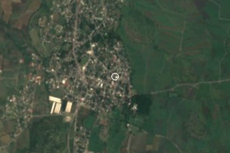

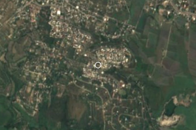
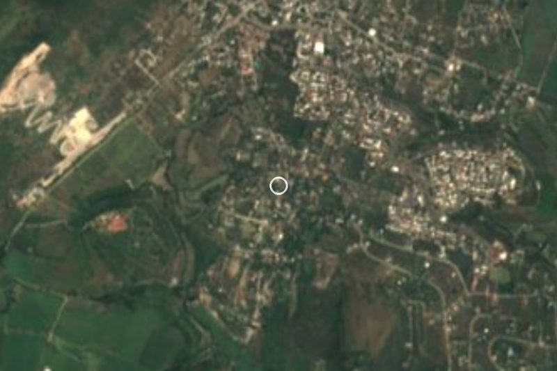
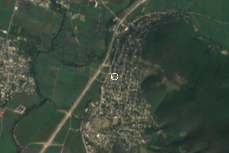
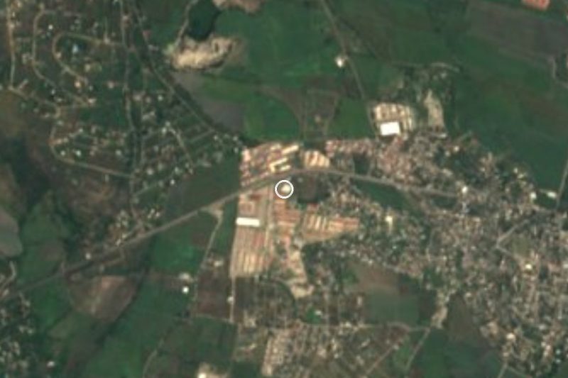


Drive times by road from OpenStreetMap, without traffic. Times marked ~ are estimated from the straight-line distance.
Location from OpenStreetMap. Written by Puebloteca.