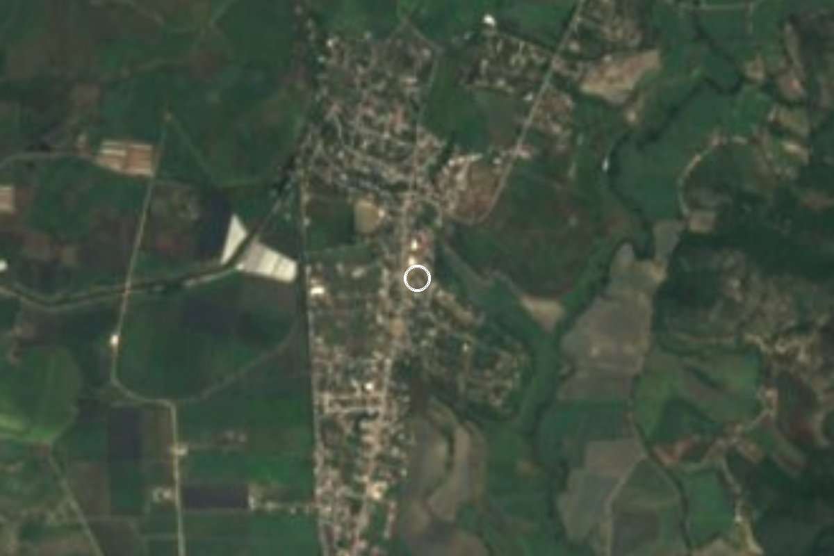
Village Tlaquiltenango, Morelos Municipality of Tlaquiltenango Southern Morelos
Village in Tlaquiltenango at 933 m, 3 km from the municipal seat and 8 km from Tlaltizapán; 2,166 people in 2020. Named for a peasant leader.
From Cuernavaca: 45 min by car (41 km by road) How to get there ↓
Near here
See everything nearby ↓





Plan your visit to Alfredo V. Bonfil
Where to stay near Alfredo V. Bonfil
Compare hotels, posadas and guest houses in Alfredo V. Bonfil.
Tours to Alfredo V. Bonfil
Day trips and guided outings from Tlaltizapán often include Alfredo V. Bonfil; with a local guide you can get there without a car.
 Tours from Cuernavaca
3hr Cooking Class in Cuernavaca 8 Recipes and Bottomless Drinks
From US$59
How to get to Alfredo V. Bonfil
- From Cuernavaca: about 45 min by road (~41 km)
- Nearest airport: Mexico City (MEX), 1 h 55 min by car to Tlaltizapán
Links open a partner site. We may earn a commission if you book, at no cost to you.
Tours from Cuernavaca, near Alfredo V. Bonfil


Tours, prices and ratings from Viator, checked weekly. We may earn a commission if you book.
About Alfredo V. Bonfil
Chacampalco is the other name this village goes by; the official one honours Alfredo V. Bonfil, a peasant leader and president of the Confederación Nacional Campesina. It is not the Alfredo V. Bonfil in Quintana Roo beside Cancún: this one is in the municipality of Tlaquiltenango, in southern Morelos, at 933 metres above sea level.
The 2020 census counted 2,166 people, making it the municipality's second largest locality after the seat. It went from 530 residents in 1980 to 1,399 in 1990 and 2,057 in 2000. Avenida Morelos is the main street, lined with carnitas, antojitos, seafood and taquerías, and other streets include Héroe de Nacozari, Miguel Hidalgo, Guadalupe Victoria and Corregidora.
The climate is hot semi-arid steppe: 24.2 °C on average, May the warmest month (27.6 °C), January the coolest (21.6 °C) and about 842 mm of rain. Hotel Quetzal is the only lodging listed in the village itself.
Bonfil is a practical base for southern Morelos: Tlaquiltenango is about 3 km away, Tlaltizapán de Zapata about 8, and Zacatepec a short ride off. To the east rises Cerro Santa María (1,525 m), about 4 km out.
How to get to Alfredo V. Bonfil
Drive from Cuernavaca: 45 min, 41 km
Alfredo V. Bonfil is in the municipality of Tlaquiltenango, about 3 km from the municipal seat and about 8 km from Tlaltizapán de Zapata (8 to 12 minutes by car, approx.). From Mexico City, Rome2Rio puts Tlaquiltenango at about 111 km and roughly 1 hour 45 minutes: take the Autopista del Sol toward Cuernavaca and continue toward Jojutla and Tlaquiltenango. Bonfil lies north of the seat.
By bus, the shortest published trip is Zacatepec to the Terminal Sur (Taxqueña), about 2 hours according to Rome2Rio; Jojutla to Cuernavaca (Casino terminal) runs hourly, about 1 hour. From Tlaquiltenango or Zacatepec to Bonfil is only a few kilometres: ask for local transport or take a taxi, as we found no published colectivo schedules.
Directions to Alfredo V. Bonfil on Google Maps
Distances are in a straight line; the road is usually longer.
Links open a partner site. We may earn a commission if you book, at no cost to you.
From the nearest cities to Alfredo V. Bonfil
- Cuautla · 41 km by road, 45 min
- Cuernavaca · 41 km by road, 45 min
- Taxco · 69 km by road, 1 h 15 min
Drive times by road from OpenStreetMap, without traffic or stops. Times marked ~ are estimated from the straight-line distance.
Visiting Alfredo V. Bonfil: what to see and do
Walk Avenida Morelos, the main street, and try the carnitas and antojitos.
Go to Tlaquiltenango, about 3 km away, to see the municipal seat.
Visit Tlaltizapán de Zapata, about 8 km away, home of Zapata's headquarters.
Look east to Cerro Santa María, 1,525 m high.
Stay at Hotel Quetzal, the only lodging in the village.
Plan your trip
Places to stay in Alfredo V. Bonfil
Compare hotels, posadas, and rentals in and around Alfredo V. Bonfil.
Tours & activities
Day trips and guided outings from Tlaltizapán often include Alfredo V. Bonfil; with a local guide you can get there without a car.
Rental cars
Pick up a car at MEX (Mexico City): about 1 h 55 min by road to Tlaltizapán, then 4 km more to Alfredo V. Bonfil, on your own schedule.
Flights
The nearest airport with scheduled flights is Mexico City (MEX), about 1 h 55 min by road from Tlaltizapán, the base for Alfredo V. Bonfil.
Mobile data
Signal can drop away from Tlaltizapán: download a map of the way to Alfredo V. Bonfil before you set out, or carry an eSIM with data.
Links open a partner site. We may earn a commission if you book, at no cost to you.
When to go to Alfredo V. Bonfil warm
Alfredo V. Bonfil shares the climate of Tlaltizapán, 4 km away. The best months to visit are January, October, November, and December.
See the month-by-month climate of Tlaltizapán
Weather in Alfredo V. Bonfil now and the next 7 days
Live forecast from Open-Meteo. Chance of rain is the day's highest.
The closest Pueblo Mágico: Tlaltizapán

Tlaltizapán is the Pueblo Mágico closest to Alfredo V. Bonfil, with places to stay, food, and more to see.
Also close to
- Xochitepec · Morelos · 23 km away
- Tepoztlán · Morelos · 37 km away
- Tlayacapan · Morelos · 38 km away
- Malinalco · Estado de México · 49 km away
- Taxco · Guerrero · 49 km away
Closest to Alfredo V. Bonfil
-
El Rollo · Landmark · 2 km away
-
Tlaquiltenango · Town · 2 km away
-
Estadio Agustín Coruco Díaz · Landmark · 4 km away
-
Villas de Jojutla · Village · 4 km away
-
Zacatepec de Hidalgo · Village · 4 km away
-
Balneario El Paraíso · Landmark · 5 km away
-
Jojutla de Juárez · Town · 5 km away
-
Parroquia de San Miguel Arcángel · Landmark · 6 km away


Near Alfredo V. Bonfil

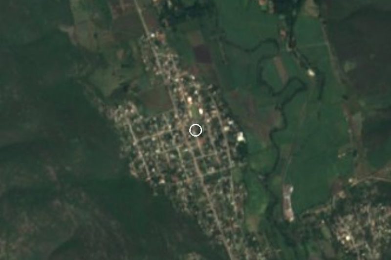

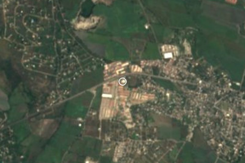
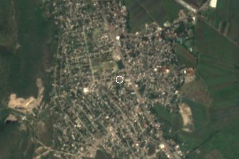
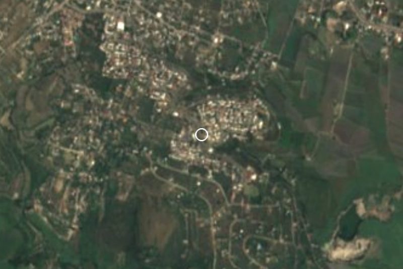
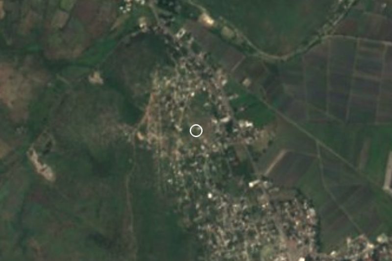
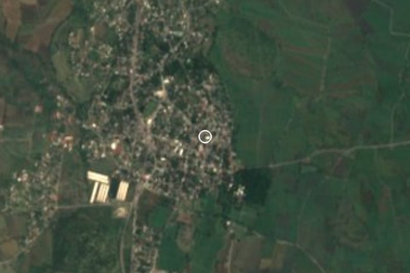

Drive times by road from OpenStreetMap, without traffic. Times marked ~ are estimated from the straight-line distance.
Location from OpenStreetMap. Written by Puebloteca.