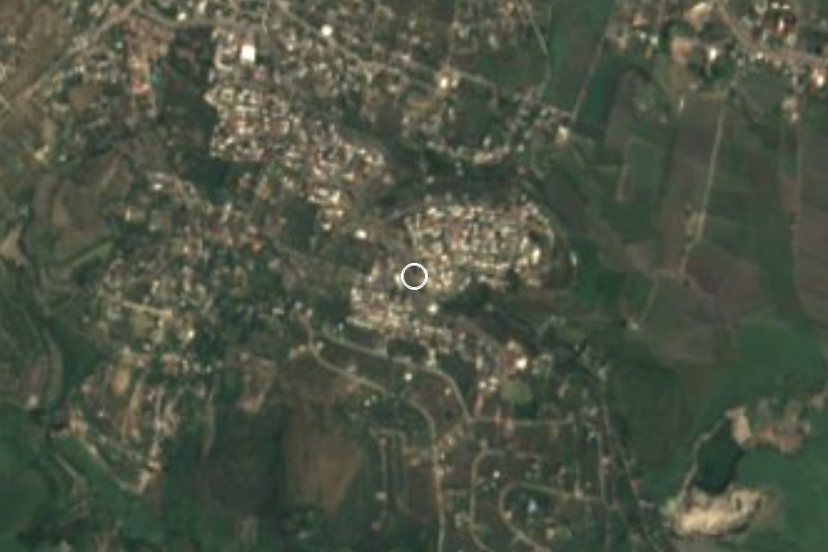
Village Jojutla, Morelos Municipality of Jojutla Southern Morelos
Jojutla locality 4.5 km west of the town centre at 942 m; 3,244 residents in 2020, down from a 1990 peak.
From Cuernavaca: 40 min by car (40 km by road) How to get there ↓
Near here
See everything nearby ↓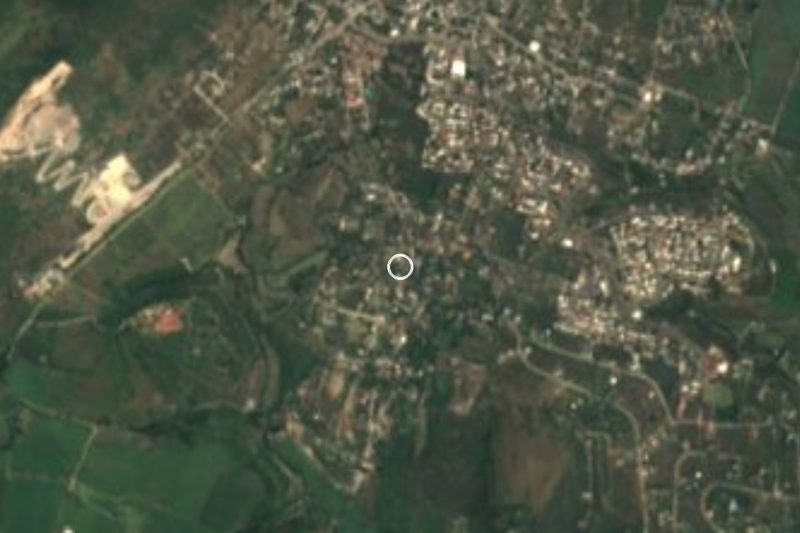


Plan your visit to José María Morelos y Pavón
Where to stay near José María Morelos y Pavón
Compare hotels, posadas and guest houses in José María Morelos y Pavón.
Tours to José María Morelos y Pavón
Day trips and guided outings from Tlaltizapán often include José María Morelos y Pavón; with a local guide you can get there without a car.
 Tours from Cuernavaca
3hr Cooking Class in Cuernavaca 8 Recipes and Bottomless Drinks
From US$59
How to get to José María Morelos y Pavón
- From Cuernavaca: about 40 min by road (~40 km)
- Nearest airport: Mexico City (MEX), 1 h 55 min by car to Tlaltizapán
Links open a partner site. We may earn a commission if you book, at no cost to you.
Tours from Cuernavaca, near José María Morelos y Pavón


Tours, prices and ratings from Viator, checked weekly. We may earn a commission if you book.
About José María Morelos y Pavón
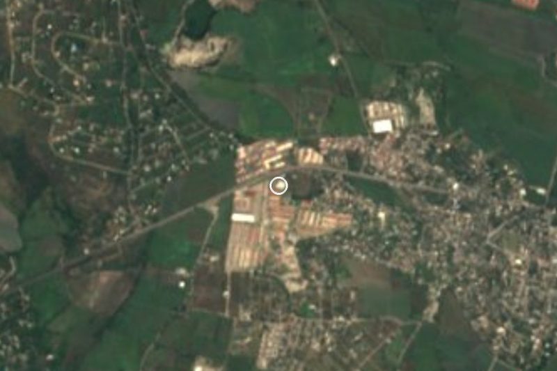
This José María Morelos y Pavón belongs to the municipality of Jojutla, in southern Morelos, and should not be mistaken for the one in Xochitepec. Pueblos de América classes it as a housing unit at 942 m of altitude. Same name, different place, both borrowing the insurgent leader of 1810.
Its census history runs against most localities in the area: it grew until 1990 and has lost people since. It had 3,334 in 1980, peaked at 3,970 in 1990, fell to 3,795 in 2000 and 3,688 in 2010, and the 2020 census counted 3,244, of whom 1,766 are women and 1,478 men. It ranks sixth among Jojutla's 83 localities, in a municipality of 58,424 people.
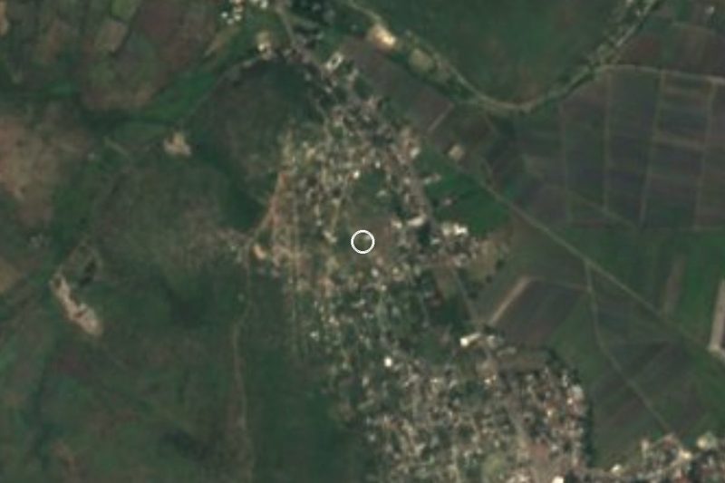
The climate is that of Jojutla's hot valley: 24.3 C yearly mean and about 190 rainy days a year. The nearest peak is La Tortuga, 1,119 metres, some 6 km north. Connectivity stands out: 92.5% of households have a mobile and 72.5% internet. The locality of Los Pilares lies a little over 1 km away.
Jicarero, another Jojutla ayudantía, is about 800 m to the west.
How to get to José María Morelos y Pavón
Drive from Cuernavaca: 40 min, 40 km
Every route goes through the town centre: the settlement is 4.5 km west of central Jojutla, around ten minutes when traffic is light. Travellers from Cuernavaca reach Jojutla on federal 95 in close to 40 minutes, per a regional guide, then keep heading west.
Pullman de Morelos links the Cuernavaca station with Jojutla (about an hour) and Taxqueña with Jojutla (two and a half hours or so, according to timetable aggregators). The final leg is a taxi or combi from downtown; We could not confirm a timetabled route.
For a navigation app the coordinate pair is 18.6161, -99.2147. Tlaltizapán de Zapata is 17 km away by road, roughly 22 minutes.
Directions to José María Morelos y Pavón on Google Maps
Distances are in a straight line; the road is usually longer.
Links open a partner site. We may earn a commission if you book, at no cost to you.
From the nearest cities to José María Morelos y Pavón
- Cuernavaca · 40 km by road, 40 min
- Cuautla · 53 km by road, 55 min
- Taxco · 63 km by road, 1 h 10 min
Drive times by road from OpenStreetMap, without traffic or stops. Times marked ~ are estimated from the straight-line distance.
Visiting José María Morelos y Pavón: what to see and do
Walk the estate's streets and the low hills around it.
Look north to La Tortuga, the 1,119 m hill.
Pass on to Jicarero, about 800 m west, for another Jojutla village.
Go down to Jojutla and walk its main square, 4.5 km east.
Plan your trip
Places to stay in José María Morelos y Pavón
Compare hotels, posadas, and rentals in and around José María Morelos y Pavón.
Tours & activities
Day trips and guided outings from Tlaltizapán often include José María Morelos y Pavón; with a local guide you can get there without a car.
Rental cars
Pick up a car at MEX (Mexico City): about 1 h 55 min by road to Tlaltizapán, then 11 km more to José María Morelos y Pavón, on your own schedule.
Flights
The nearest airport with scheduled flights is Mexico City (MEX), about 1 h 55 min by road from Tlaltizapán, the base for José María Morelos y Pavón.
Mobile data
Signal can drop away from Tlaltizapán: download a map of the way to José María Morelos y Pavón before you set out, or carry an eSIM with data.
Links open a partner site. We may earn a commission if you book, at no cost to you.
When to go to José María Morelos y Pavón warm
José María Morelos y Pavón shares the climate of Tlaltizapán, 11 km away. The best months to visit are January, October, November, and December.
See the month-by-month climate of Tlaltizapán
Weather in José María Morelos y Pavón now and the next 7 days
Live forecast from Open-Meteo. Chance of rain is the day's highest.
The closest Pueblo Mágico: Tlaltizapán

Tlaltizapán is the Pueblo Mágico closest to José María Morelos y Pavón, with places to stay, food, and more to see.
Also close to
- Xochitepec · Morelos · 22 km away
- Taxco · Guerrero · 42 km away
- Tepoztlán · Morelos · 43 km away
- Tlayacapan · Morelos · 45 km away
- Malinalco · Estado de México · 48 km away
Closest to José María Morelos y Pavón
-
Jicarero · Village · 1 km away
-
Aqua Splash · Landmark · 2 km away
-
San Nicolás Galeana · Village · 2 km away
-
Valle Dorado · Village · 2 km away
-
Los Venados · Village · 3 km away
-
Jojutla de Juárez · Town · 4 km away
-
Parroquia de San Miguel Arcángel · Landmark · 4 km away
-
San Antonio Chiverías · Village · 4 km away

Near José María Morelos y Pavón






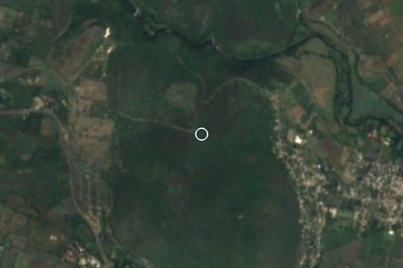
Drive times by road from OpenStreetMap, without traffic. Times marked ~ are estimated from the straight-line distance.
Location from OpenStreetMap. Written by Puebloteca.