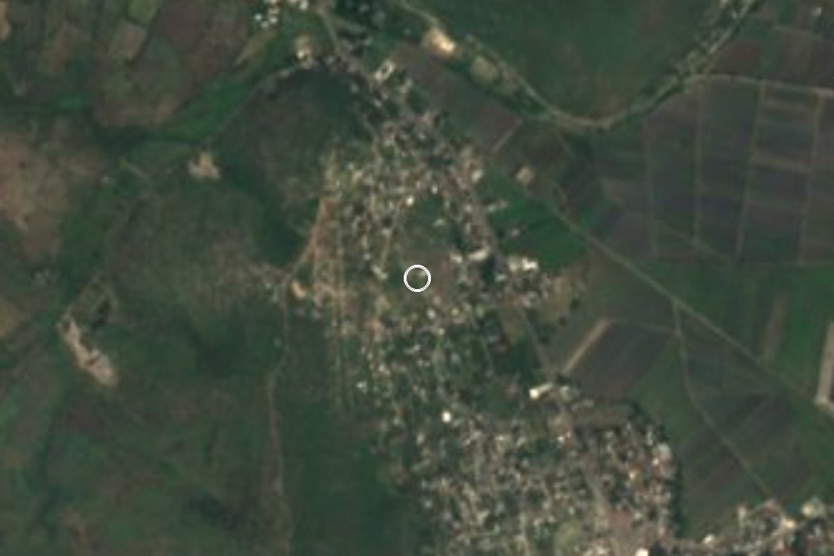
Village Zacatepec, Morelos Municipality of Zacatepec Southern Morelos
Locality in Zacatepec de Hidalgo at 948 m, with 1,368 people in 2020, beside the municipal seat and San Nicolás Galeana in southern Morelos.
From Cuernavaca: 35 min by car (35 km by road) How to get there ↓
Near here
See everything nearby ↓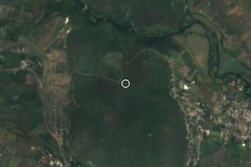


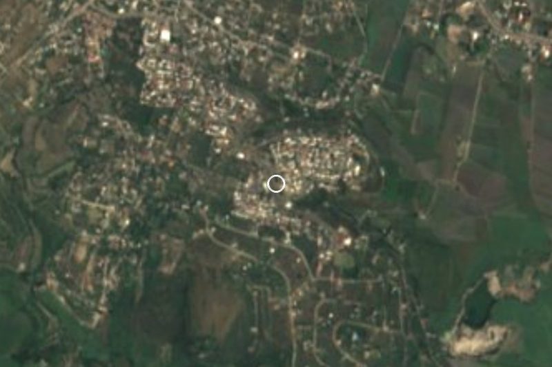
Plan your visit to San Antonio Chiverías
Where to stay near San Antonio Chiverías
Compare hotels, posadas and guest houses in San Antonio Chiverías.
Tours to San Antonio Chiverías
Day trips and guided outings from Tlaltizapán often include San Antonio Chiverías; with a local guide you can get there without a car.
 Tours from Cuernavaca
3hr Cooking Class in Cuernavaca 8 Recipes and Bottomless Drinks
From US$59
How to get to San Antonio Chiverías
- From Cuernavaca: about 35 min by road (~35 km)
- Nearest airport: Mexico City (MEX), 1 h 55 min by car to Tlaltizapán
Links open a partner site. We may earn a commission if you book, at no cost to you.
Tours from Cuernavaca, near San Antonio Chiverías


Tours, prices and ratings from Viator, checked weekly. We may earn a commission if you book.
About San Antonio Chiverías
Chiverías, the name it carried before the saint was added, is a locality in southern Morelos, in the municipality of Zacatepec de Hidalgo, at 948 metres above sea level and about three kilometres from the municipal seat. Saint Anthony of Padua is its patron, hence the current name; according to Pueblos de América the change of name was recorded in 2010.
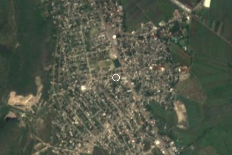
The population has grown steadily: 362 people in 1980, 714 in 1990, 860 in 2000, 1,280 in 2010 and 1,368 in 2020. In 2020 about 131 were children up to five, 855 adults aged 15 to 59 and 168 over 60. Nearly a third (31.9%) were born outside Morelos, a high share for a place this size, reflecting its closeness to Zacatepec and to San Nicolás Galeana, a neighbouring locality of more than 11,000 people less than two kilometres away.
The ground is flat sugarcane country, like the rest of the municipality: the demographic profile of Zacatepec notes that its territory has been tied to cane growing since 1690. To the northeast, 1.7 km away, rises Cerro La Tortuga (1,119 m), and small colonias such as 10 de Abril, Cerro del Venado and Colonia de los Maestros lie around the village. The climate is hot semi-arid, averaging 24.1 °C with about 840 mm of rain a year, and April and May are the hottest months.
In 2020 there were 377 occupied homes, most with piped water (96.6%), and average schooling was 8.9 years. Restaurants, taquerías and a hotel are close by, mostly toward San Nicolás Galeana.
How to get to San Antonio Chiverías
Drive from Cuernavaca: 35 min, 35 km
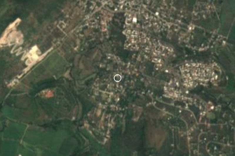
Chiverías is about 3 km from Zacatepec de Hidalgo in southern Morelos, and roughly 30 km from Cuernavaca (about 35 minutes by car, a straight-line estimate). The simplest approach is to reach Zacatepec first: according to Rome2Rio there are buses from Zacatepec to Mexico City's Terminal Central del Sur (Taxqueña), about 2 hours with hourly departures (aggregator data; confirm at the terminal). Pullman de Morelos, which serves Cuernavaca, Cuautla and Yautepec, does not list Zacatepec among its routes, so from Cuautla take a bus toward Jojutla (about 1 h 20 min, every 10 minutes per Rome2Rio) and get off at Zacatepec or ask the driver. From Zacatepec it is a few minutes by taxi, or on foot along the streets toward San Nicolás Galeana. By car, enter Zacatepec and follow signs toward San Nicolás Galeana and Chiverías; we did not verify a highway number. Tlaltizapán de Zapata, the nearest pueblo mágico, is about 21 km away (roughly 16 minutes).
Directions to San Antonio Chiverías on Google Maps
Distances are in a straight line; the road is usually longer.
Links open a partner site. We may earn a commission if you book, at no cost to you.
From the nearest cities to San Antonio Chiverías
- Cuernavaca · 35 km by road, 35 min
- Cuautla · 55 km by road, 55 min
- Taxco · 58 km by road, 1 h 5 min
Drive times by road from OpenStreetMap, without traffic or stops. Times marked ~ are estimated from the straight-line distance.
Visiting San Antonio Chiverías: what to see and do
Stroll Chiverías, a cane-country village of everyday life beside Zacatepec.
Climb Cerro La Tortuga, 1.7 km northeast, for a view over the cane fields.
Look in at the church of San Antonio de Padua and ask about its fiesta, which we could not confirm.
Walk to San Nicolás Galeana, under 2 km away, for taquerías and restaurants.
Continue to the centre of Zacatepec de Hidalgo, about 3 km.
Plan your trip
Places to stay in San Antonio Chiverías
Compare hotels, posadas, and rentals in and around San Antonio Chiverías.
Tours & activities
Day trips and guided outings from Tlaltizapán often include San Antonio Chiverías; with a local guide you can get there without a car.
Rental cars
Pick up a car at MEX (Mexico City): about 1 h 55 min by road to Tlaltizapán, then 9 km more to San Antonio Chiverías, on your own schedule.
Flights
The nearest airport with scheduled flights is Mexico City (MEX), about 1 h 55 min by road from Tlaltizapán, the base for San Antonio Chiverías.
Mobile data
Signal can drop away from Tlaltizapán: download a map of the way to San Antonio Chiverías before you set out, or carry an eSIM with data.
Links open a partner site. We may earn a commission if you book, at no cost to you.
When to go to San Antonio Chiverías warm
San Antonio Chiverías shares the climate of Tlaltizapán, 9 km away. The best months to visit are January, October, November, and December.
See the month-by-month climate of Tlaltizapán
Weather in San Antonio Chiverías now and the next 7 days
Live forecast from Open-Meteo. Chance of rain is the day's highest.
The closest Pueblo Mágico: Tlaltizapán

Tlaltizapán is the Pueblo Mágico closest to San Antonio Chiverías, with places to stay, food, and more to see.
Also close to
- Xochitepec · Morelos · 18 km away
- Tepoztlán · Morelos · 39 km away
- Taxco · Guerrero · 42 km away
- Tlayacapan · Morelos · 42 km away
- Malinalco · Estado de México · 44 km away
Closest to San Antonio Chiverías
-
Parque Estatal Cerro de la Tortuga · Nature reserve · 2 km away
-
San Nicolás Galeana · Village · 2 km away
-
Estadio Agustín Coruco Díaz · Landmark · 3 km away
-
Zacatepec de Hidalgo · Village · 3 km away
-
Jicarero · Village · 4 km away
-
José María Morelos y Pavón · Village · 4 km away
-
Xoxocotla · Village · 4 km away
-
Hacienda San José Vista Hermosa · Landmark · 5 km away


Near San Antonio Chiverías
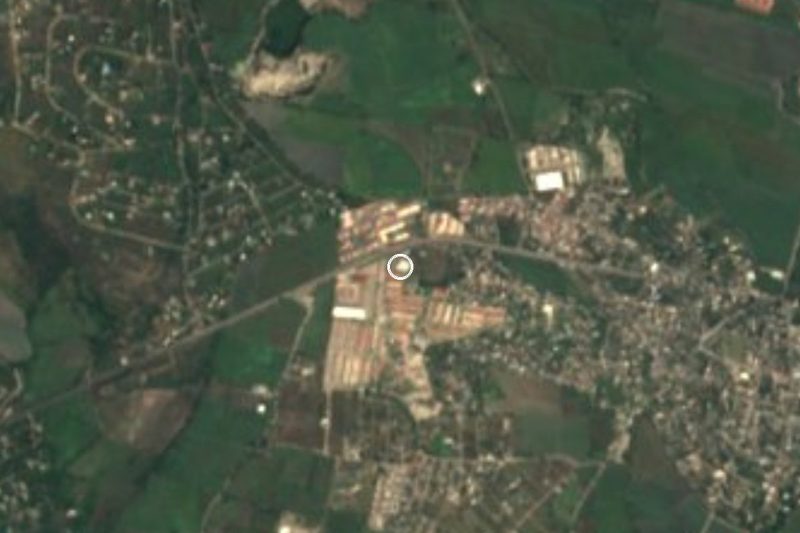








Drive times by road from OpenStreetMap, without traffic. Times marked ~ are estimated from the straight-line distance.
Location from OpenStreetMap. Written by Puebloteca.